Square Plantation
Wood, Forest in Yorkshire
England
Square Plantation
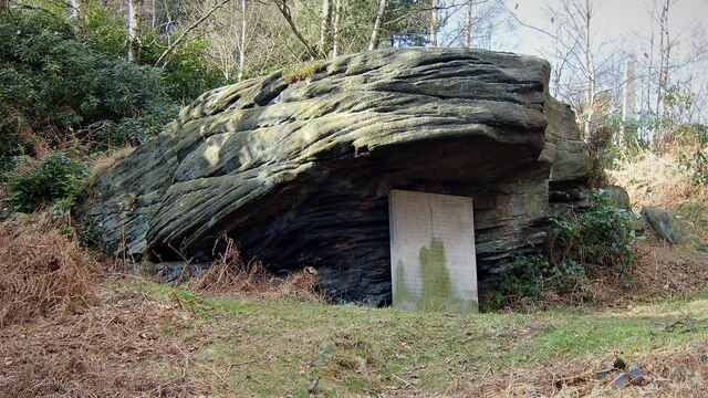
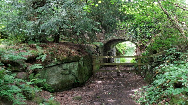
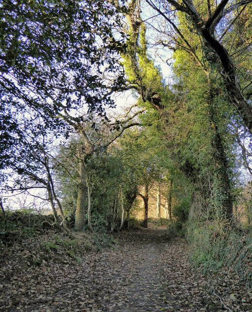
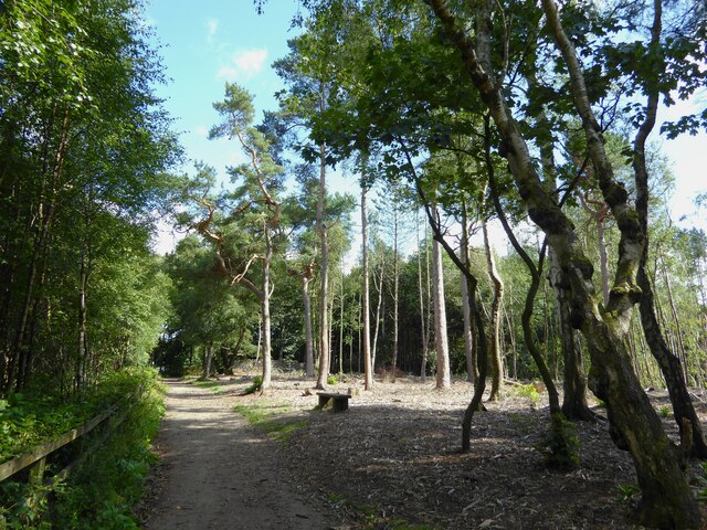
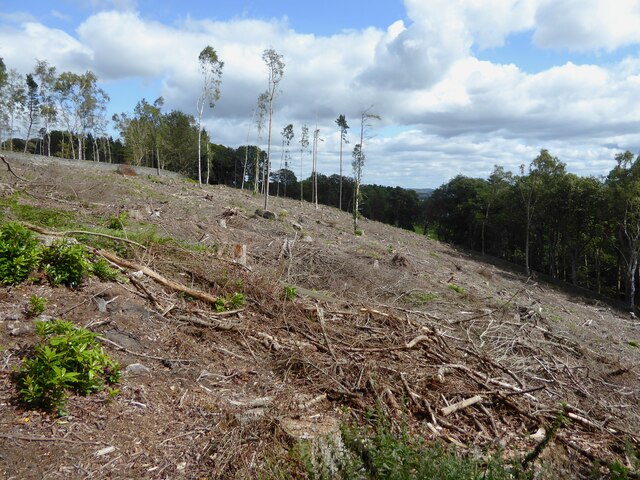
Square Plantation is a picturesque woodland located in Yorkshire, England. Nestled amidst the beautiful landscape of the region, it covers an area of approximately 100 acres. The plantation is known for its dense forest and well-preserved wood, making it a haven for nature enthusiasts and hikers.
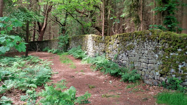
The woodland boasts a diverse range of tree species, including oak, beech, and birch, which create a lush and vibrant canopy. The forest floor is adorned with a variety of flora, such as bluebells, wild garlic, and ferns, adding to the enchanting atmosphere of the plantation.
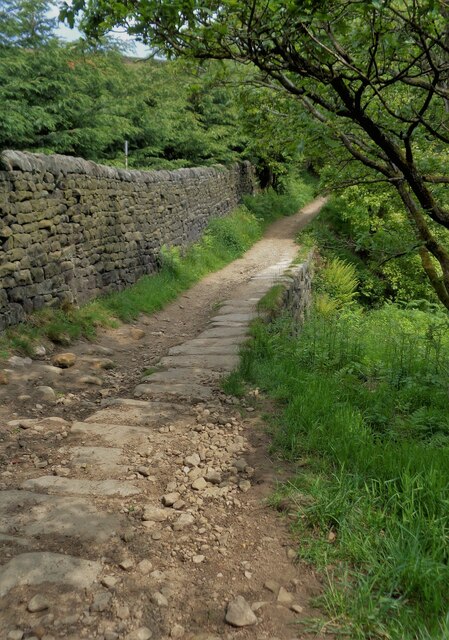
Traversing through Square Plantation, visitors can explore a network of well-maintained walking trails that wind their way through the forest. These trails offer stunning views of the surrounding countryside and provide an opportunity to observe the local wildlife, including deer, foxes, and a diverse array of bird species.
The plantation also features a small stream that meanders through its heart, offering a peaceful and serene spot for relaxation. Picnic areas are strategically placed along the stream, allowing visitors to enjoy a scenic lunch surrounded by nature's tranquility.
Square Plantation is easily accessible, with ample parking available nearby. It is open to the public throughout the year, and admission is free. The woodland is managed by local authorities, ensuring its preservation and ongoing maintenance.
In conclusion, Square Plantation in Yorkshire is a captivating woodland retreat that offers visitors a chance to immerse themselves in the natural beauty of the region. With its diverse flora and fauna, well-maintained trails, and serene ambiance, it is a must-visit destination for nature lovers and those seeking a peaceful escape from the hustle and bustle of everyday life.
If you have any feedback on the listing, please let us know in the comments section below.
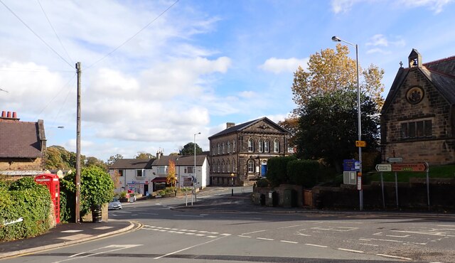
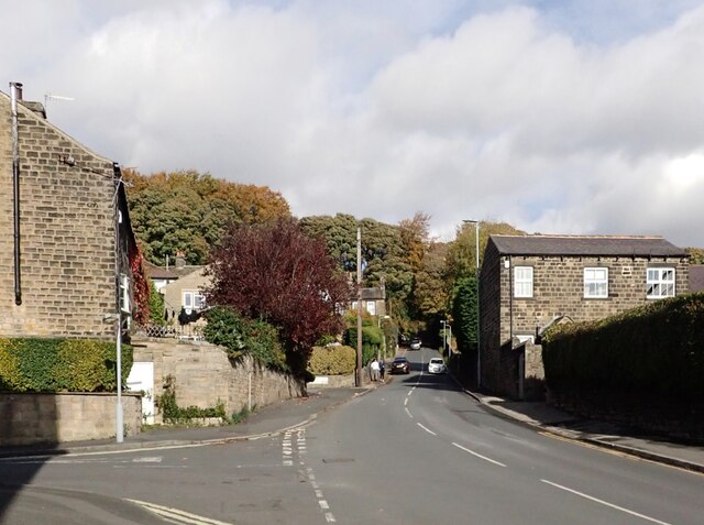
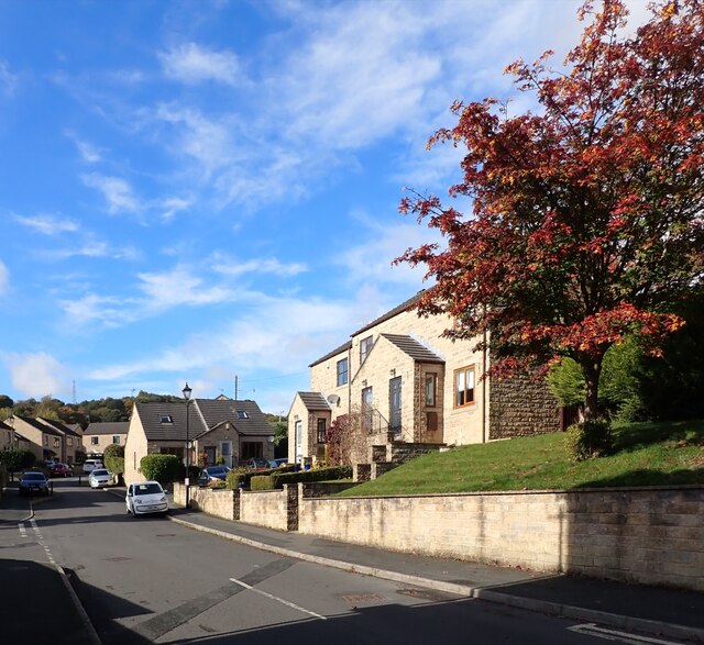
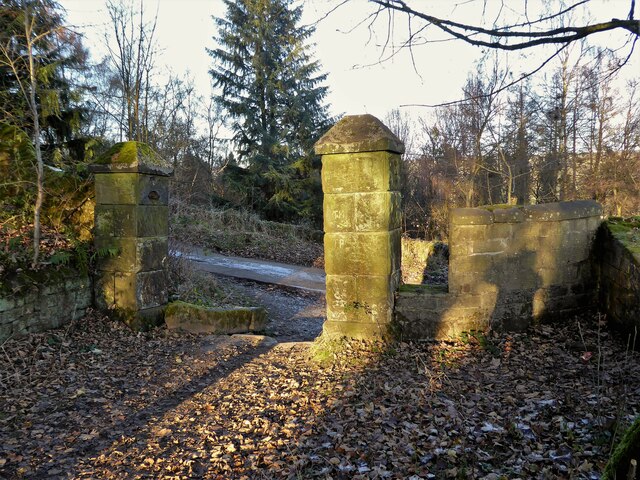
Square Plantation Images
Images are sourced within 2km of 53.851429/-1.8612836 or Grid Reference SE0939. Thanks to Geograph Open Source API. All images are credited.


Square Plantation is located at Grid Ref: SE0939 (Lat: 53.851429, Lng: -1.8612836)
Division: West Riding
Unitary Authority: Bradford
Police Authority: West Yorkshire
What 3 Words
///hound.pigment.dreams. Near Bingley, West Yorkshire
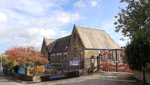
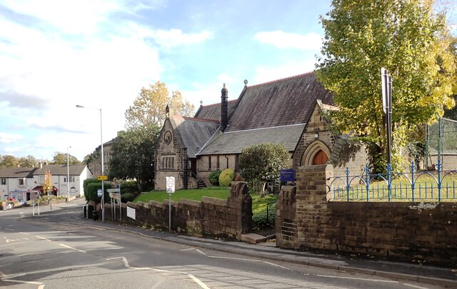
Nearby Locations
Related Wikis
STRI Group
STRI, formerly the Sports Turf Research Institute, is a consultancy for the development of sports surfaces, based in St Ives, Bingley, West Yorkshire,...

Bingley St Ives
Bingley St. Ives, or St. Ives Estate is a 550-acre (2.2 km2) country park and former estate between Bingley and Harden in West Yorkshire, England now owned...
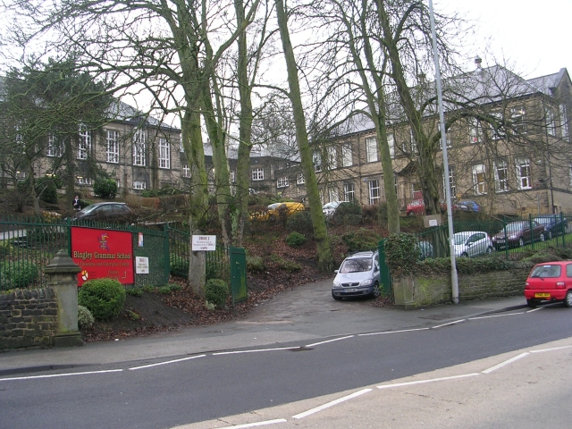
Bingley Grammar School
Bingley Grammar School (BGS) is a Voluntary aided school for students from the ages of 11–18 and is located on the outskirts of Bingley, West Yorkshire...

Old White Horse Inn
The Old White Horse Inn in Bingley, West Yorkshire, England, is one of the oldest buildings still in use in the town. It was originally constructed as...

Ireland Bridge
Bingley's Ireland Bridge is a Grade II* listed structure and a historically significant crossing point over the River Aire in West Yorkshire, England...

Church of All Saints, Bingley
Church of All Saints is the Anglican parish church in the town of Bingley, West Yorkshire, England. It is one of two Anglican churches in the town, the...

Crossflatts railway station
Crossflatts railway station serves the Crossflatts area of Bingley, north of Bradford in West Yorkshire, England. The station is on the Airedale Line...

Myrtle Grove, Bingley
Myrtle Grove, also known since 1926 as Bingley Town Hall, is a municipal building in Myrtle Park, Bingley, West Yorkshire, England. The building, which...
Nearby Amenities
Located within 500m of 53.851429,-1.8612836Have you been to Square Plantation?
Leave your review of Square Plantation below (or comments, questions and feedback).