Kettlewell Reservoir
Lake, Pool, Pond, Freshwater Marsh in Yorkshire
England
Kettlewell Reservoir
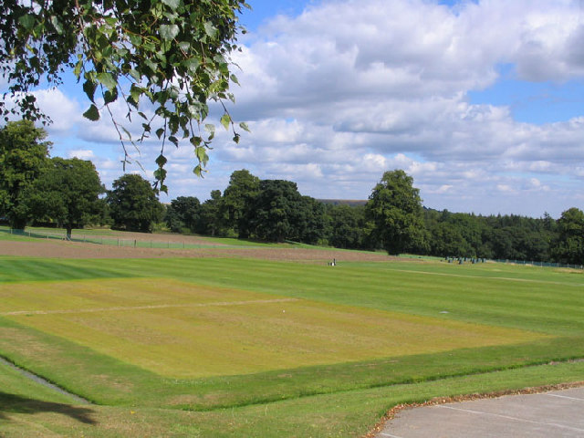
Kettlewell Reservoir, located in the heart of Yorkshire, England, is a man-made freshwater lake that serves as an essential water supply for the surrounding area. Covering an area of approximately 200 acres, this reservoir was constructed in the early 19th century to meet the increasing demands for water in the region.
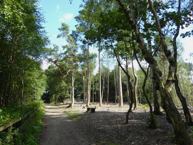
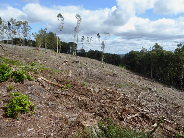
The calm waters of Kettlewell Reservoir are nestled amidst the picturesque beauty of the Yorkshire Dales National Park. Its serene surroundings make it a popular destination among nature enthusiasts, offering breathtaking views of rolling hills, lush green meadows, and rugged limestone formations.
As a source of freshwater, the reservoir plays a crucial role in supporting the local ecosystem. Its waters are home to a diverse range of aquatic flora and fauna, including various species of fish, waterfowl, and invertebrates. The abundance of food and shelter provided by the reservoir also attracts a variety of bird species, making it an ideal spot for birdwatching.
The reservoir's tranquil ambiance and scenic charm also make it a favored location for recreational activities. Fishing is a popular pastime here, with anglers trying their luck at catching trout, pike, and other freshwater fish. Visitors can also enjoy leisurely walks along the reservoir's perimeter, taking in the breathtaking vistas and observing the abundant wildlife.
Kettlewell Reservoir is not only a vital water source but also a place of natural beauty and tranquility. Its idyllic setting, combined with its ecological significance and recreational opportunities, makes it a treasured asset for both locals and tourists alike.
If you have any feedback on the listing, please let us know in the comments section below.
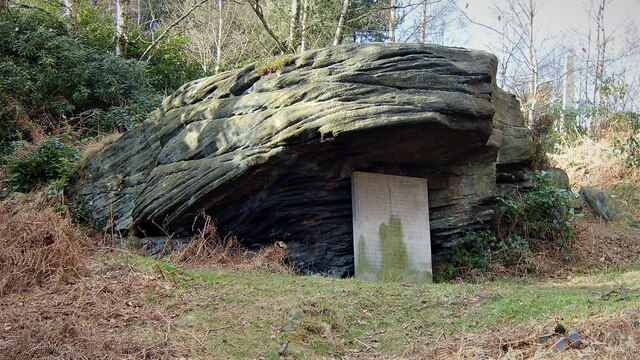
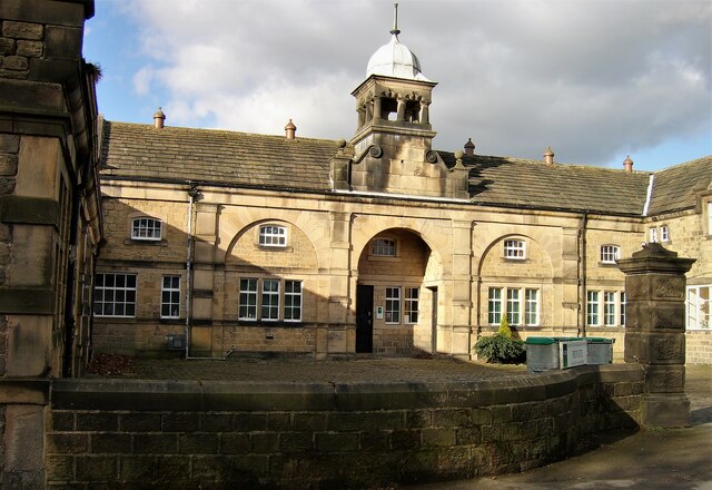
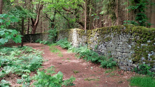
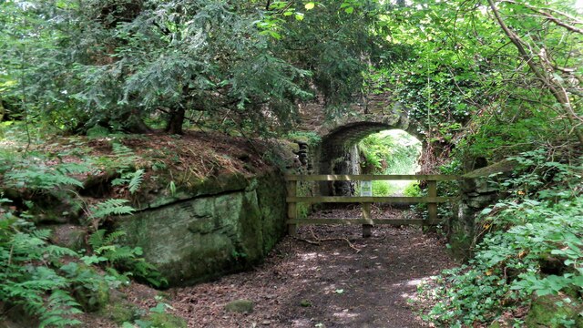
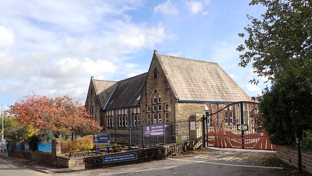
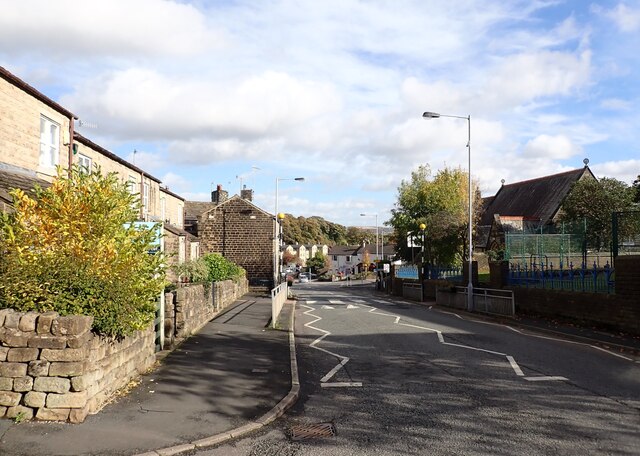
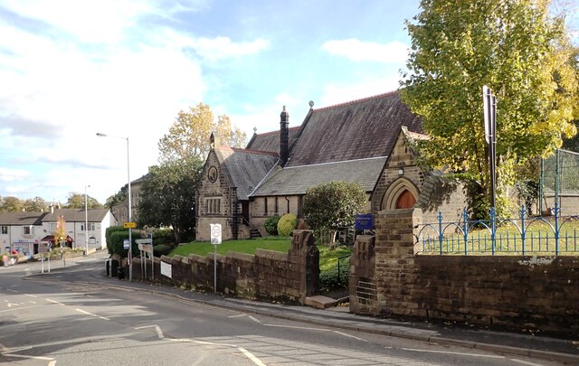
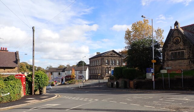
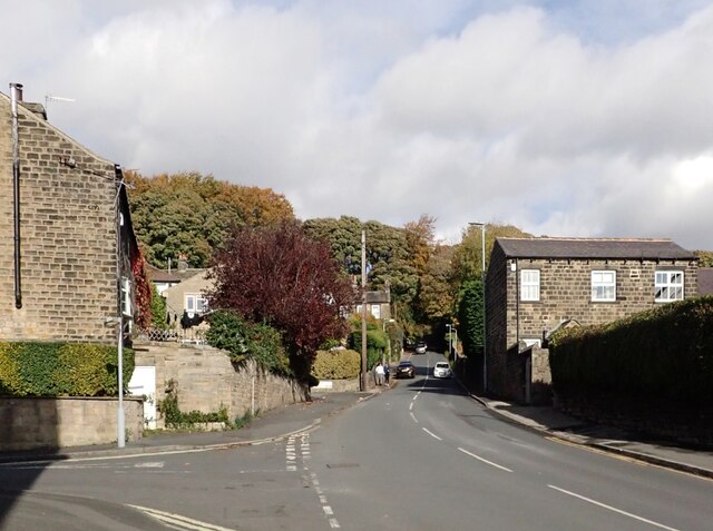
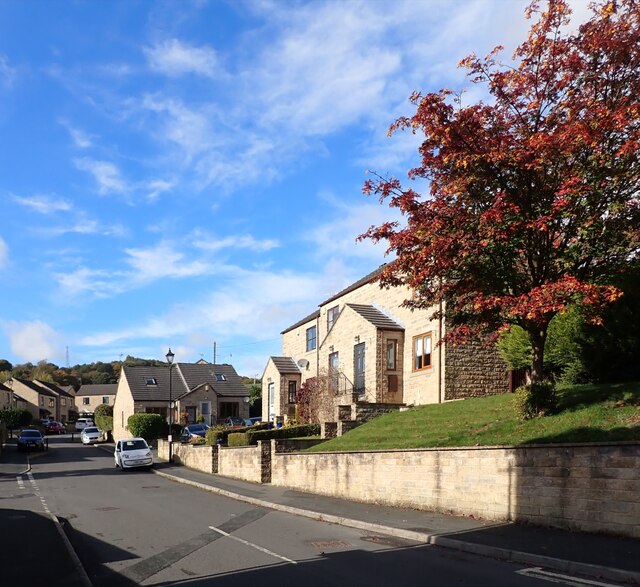
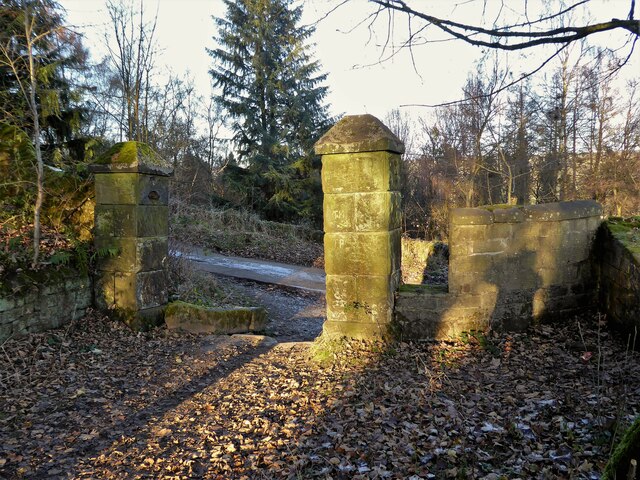
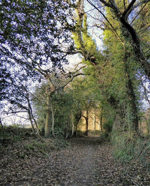
Kettlewell Reservoir Images
Images are sourced within 2km of 53.84953/-1.8516528 or Grid Reference SE0939. Thanks to Geograph Open Source API. All images are credited.


Kettlewell Reservoir is located at Grid Ref: SE0939 (Lat: 53.84953, Lng: -1.8516528)
Division: West Riding
Unitary Authority: Bradford
Police Authority: West Yorkshire
What 3 Words
///nodded.remains.relatives. Near Bingley, West Yorkshire
Related Wikis
STRI Group
STRI, formerly the Sports Turf Research Institute, is a consultancy for the development of sports surfaces, based in St Ives, Bingley, West Yorkshire,...

Bingley St Ives
Bingley St. Ives, or St. Ives Estate is a 550-acre (2.2 km2) country park and former estate between Bingley and Harden in West Yorkshire, England now owned...

Ireland Bridge
Bingley's Ireland Bridge is a Grade II* listed structure and a historically significant crossing point over the River Aire in West Yorkshire, England...

Old White Horse Inn
The Old White Horse Inn in Bingley, West Yorkshire, England, is one of the oldest buildings still in use in the town. It was originally constructed as...

Church of All Saints, Bingley
Church of All Saints is the Anglican parish church in the town of Bingley, West Yorkshire, England. It is one of two Anglican churches in the town, the...
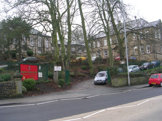
Bingley Grammar School
Bingley Grammar School (BGS) is a Voluntary aided school for students from the ages of 11–18 and is located on the outskirts of Bingley, West Yorkshire...

Myrtle Grove, Bingley
Myrtle Grove, also known since 1926 as Bingley Town Hall, is a municipal building in Myrtle Park, Bingley, West Yorkshire, England. The building, which...

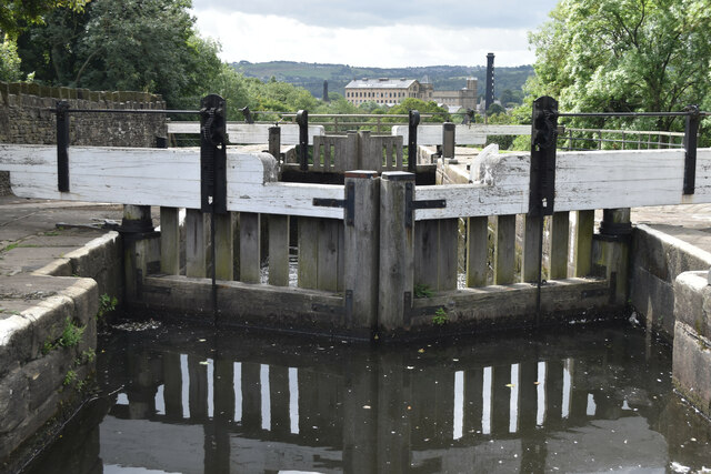
Bingley Three Rise Locks
Bingley Three Rise Locks is a staircase of three locks on the Leeds and Liverpool Canal at Bingley, West Yorkshire, England. The locks are a Grade II...
Nearby Amenities
Located within 500m of 53.84953,-1.8516528Have you been to Kettlewell Reservoir?
Leave your review of Kettlewell Reservoir below (or comments, questions and feedback).