Cross Gate
Settlement in Sussex Horsham
England
Cross Gate
Cross Gate is a small village located in the county of Sussex, England. Situated in the southern part of the county, Cross Gate is nestled amidst the picturesque countryside, offering residents and visitors a tranquil and idyllic setting.
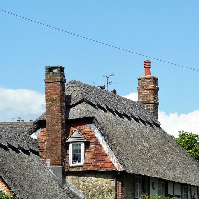
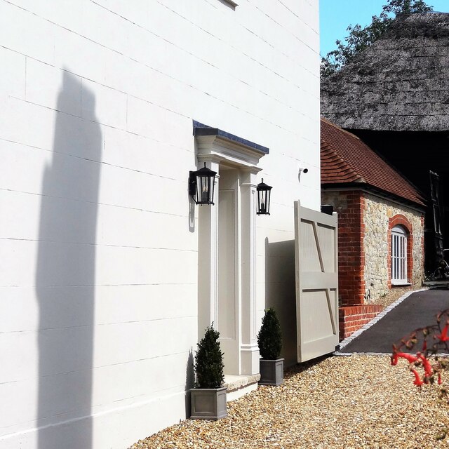
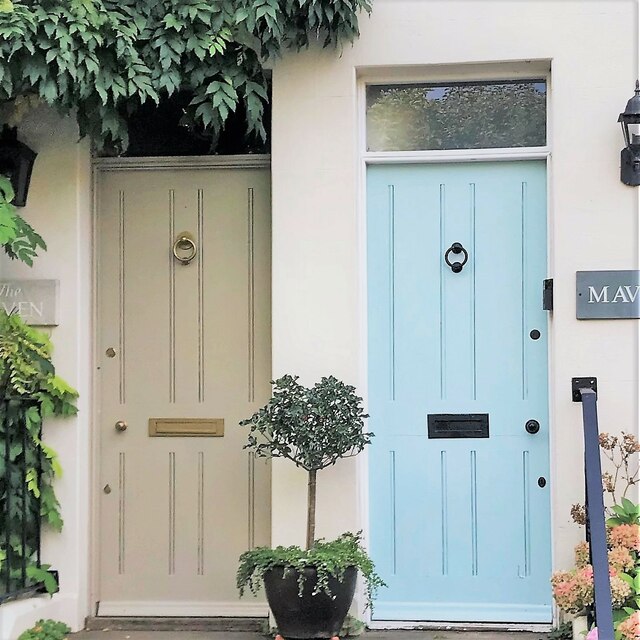
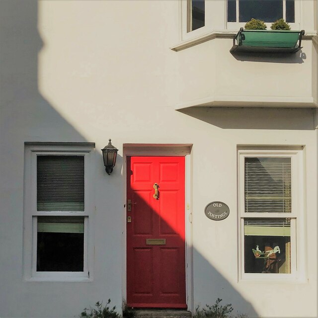
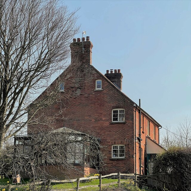
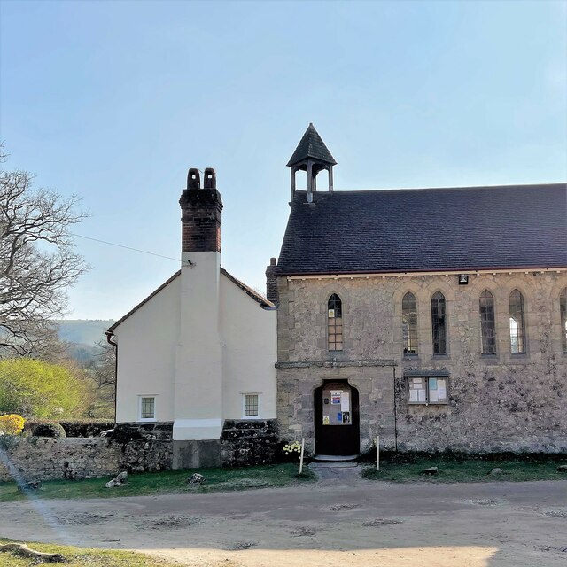
The village of Cross Gate is characterized by its charming and traditional architecture, with a collection of quaint cottages and historic buildings that exude a sense of history and heritage. The village is known for its well-preserved heritage, attracting history enthusiasts and architecture admirers alike.
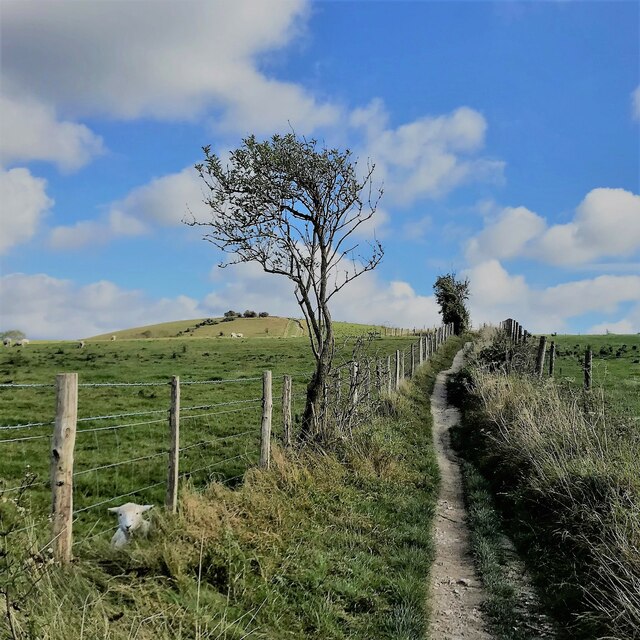
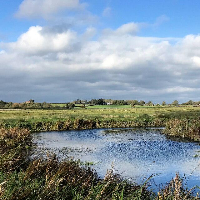
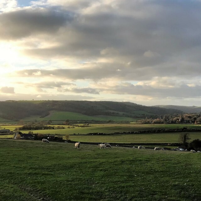
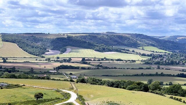
Surrounded by stunning natural beauty, Cross Gate offers ample opportunities for outdoor activities and exploration. The village is surrounded by lush green fields, rolling hills, and enchanting woodlands, making it an ideal destination for hiking, cycling, and leisurely walks. The nearby South Downs National Park provides even more opportunities for outdoor enthusiasts, with its breathtaking landscapes and diverse wildlife.
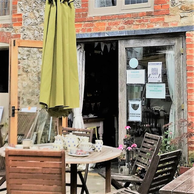
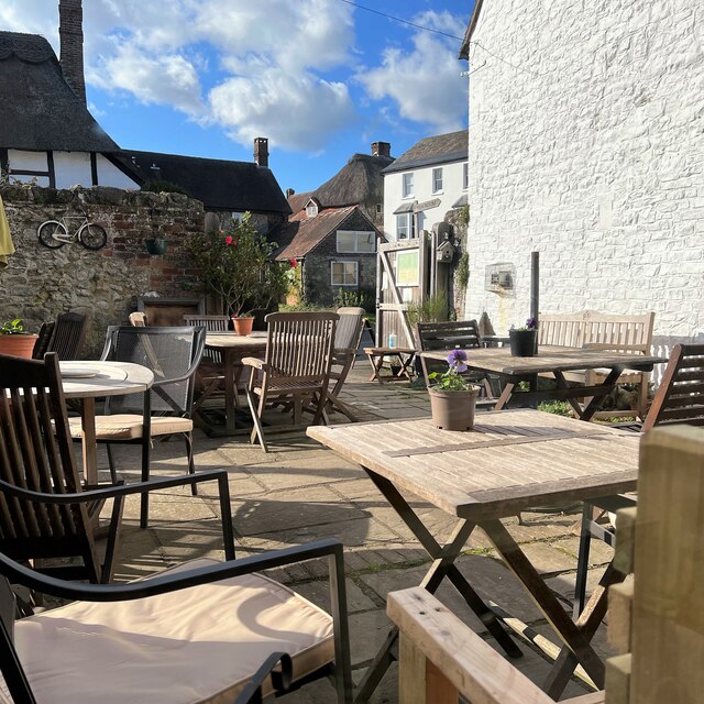
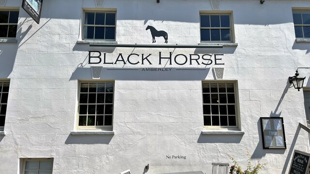
Despite its small size, Cross Gate boasts a close-knit community and a range of amenities for its residents. The village has a local pub, offering a cozy and friendly atmosphere for locals and visitors to enjoy a pint or a meal. Additionally, Cross Gate is well-served by public transportation, with regular bus services connecting the village to nearby towns and cities.
Overall, Cross Gate in Sussex offers a peaceful and scenic escape from the hustle and bustle of city life. Its natural beauty, historic charm, and strong sense of community make it an appealing destination for those seeking a slice of quintessential English countryside living.
If you have any feedback on the listing, please let us know in the comments section below.
Cross Gate Images
Images are sourced within 2km of 50.910945/-0.52372339 or Grid Reference TQ0313. Thanks to Geograph Open Source API. All images are credited.


Cross Gate is located at Grid Ref: TQ0313 (Lat: 50.910945, Lng: -0.52372339)
Administrative County: West Sussex
District: Horsham
Police Authority: Sussex
What 3 Words
///levels.bedrock.stability. Near Storrington, West Sussex
Nearby Locations
Related Wikis
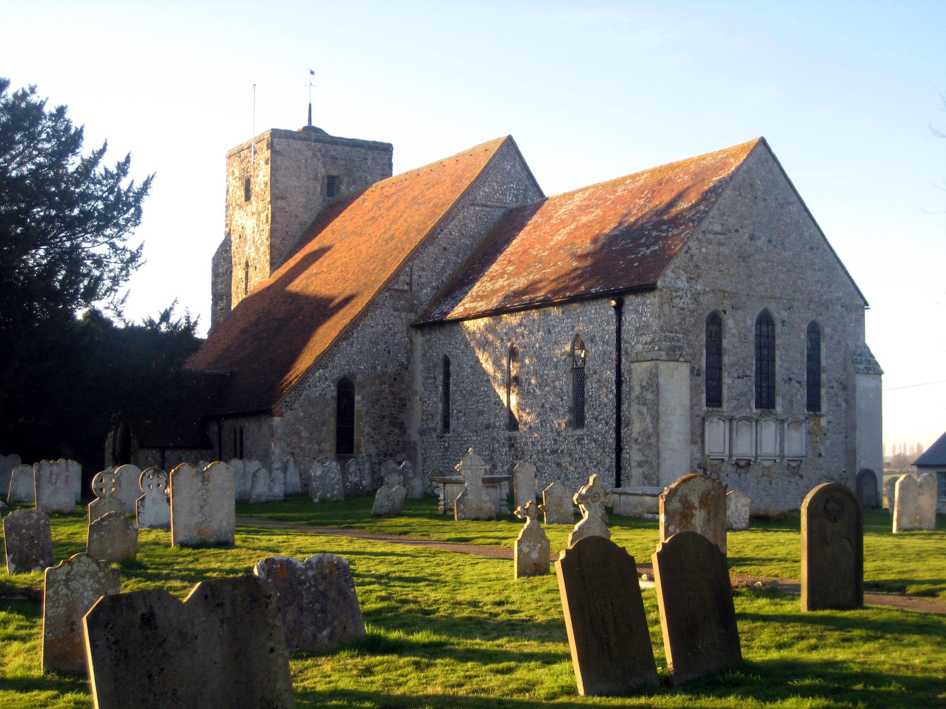
Amberley, West Sussex
Amberley is a village and civil parish in the Horsham District of West Sussex, England. It is situated at the foot of the South Downs, 4 miles (6 km) north...

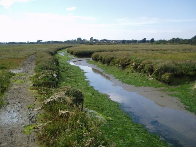
Amberley Wild Brooks
Amberley Wild Brooks or Amberley Wildbrooks is a 327.5-hectare (809-acre) biological Site of Special Scientific Interest west of Storrington in West Sussex...
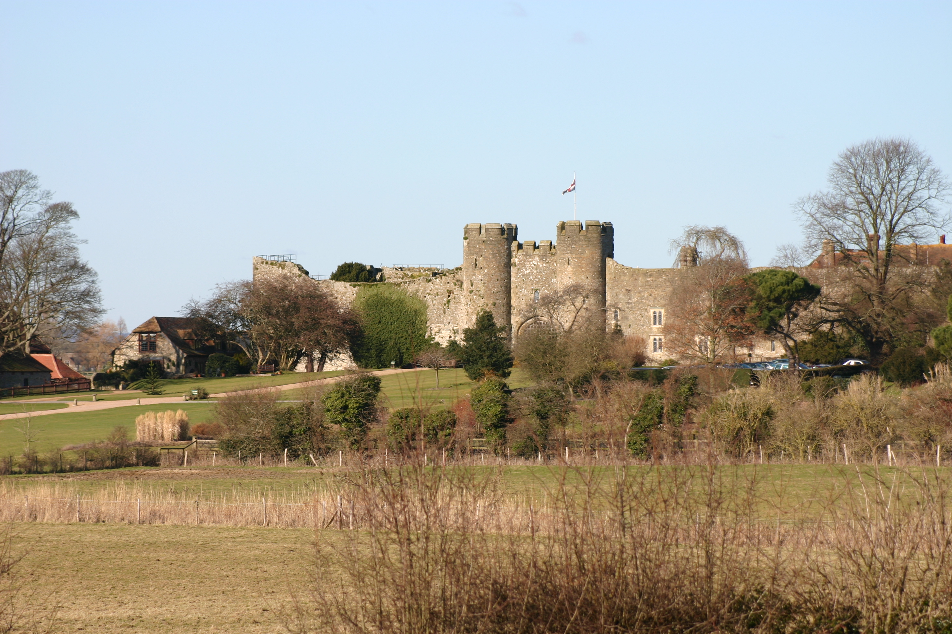
Amberley Castle
Amberley Castle stands in the village of Amberley, West Sussex (grid reference TQ027132). The castle was erected as a 12th-century manor house and fortified...

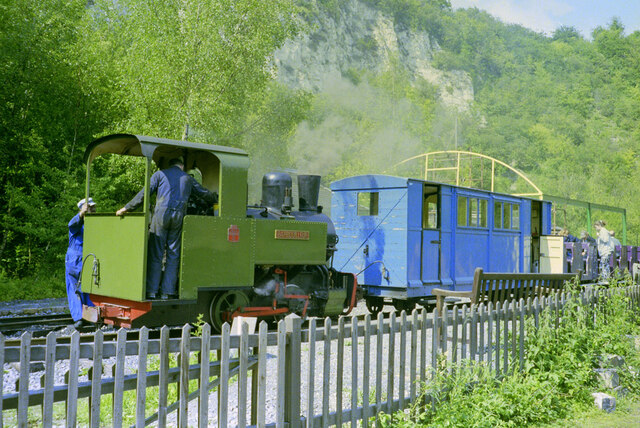
Amberley Museum Railway
The Amberley Museum Railway is a 2 ft (610 mm) narrow gauge railway based at Amberley Museum, Amberley, West Sussex. It has a varied collection of engines...
List of local nature reserves in West Sussex
Local nature reserves (LNRs) are designated by local authorities under the National Parks and Access to the Countryside Act 1949. The local authority must...

West Sussex
West Sussex is a ceremonial county in South East England. It is bordered by Surrey to the north, East Sussex to the east, the English Channel to the south...

Amberley Museum & Heritage Centre
Amberley Museum is an open-air industrial heritage museum at Amberley, near Arundel in West Sussex, England. The museum is owned and operated by Amberley...
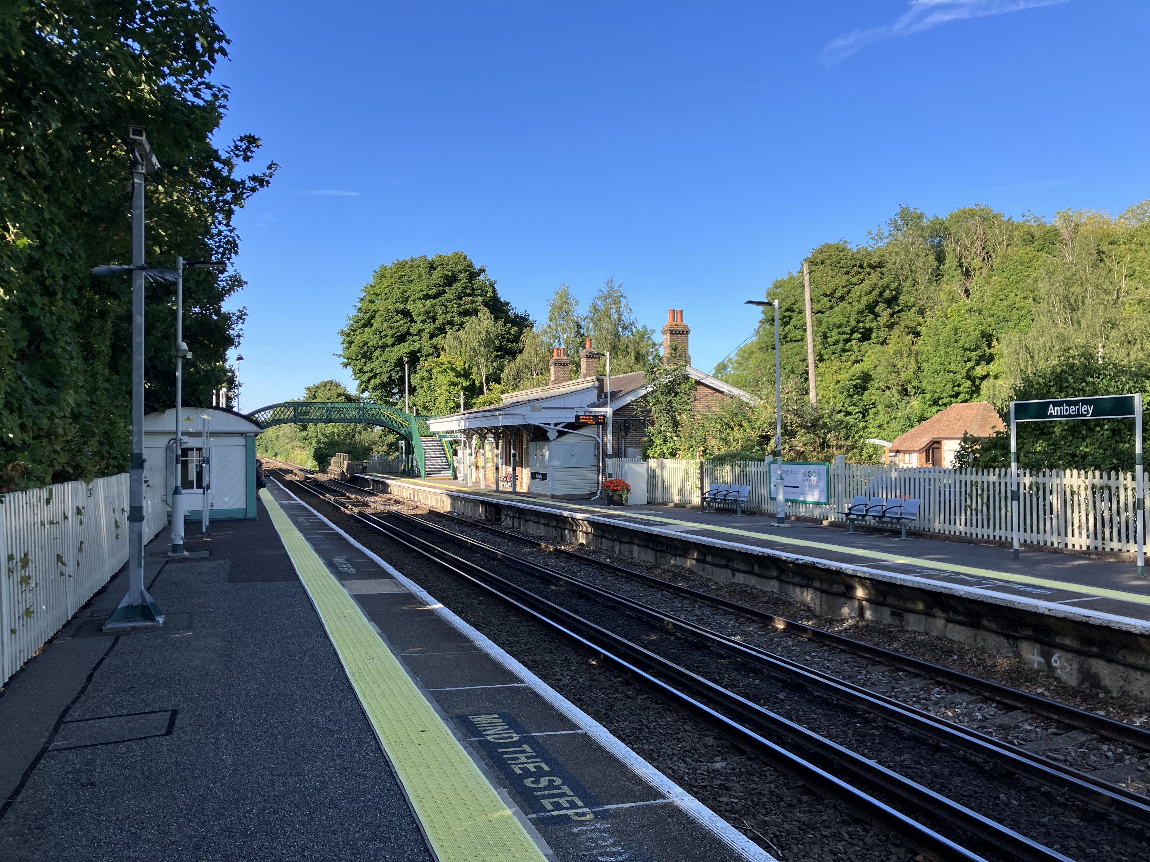
Amberley railway station
Amberley railway station is a railway station in West Sussex, England. It serves the village of Amberley, about half a mile away, and was opened by the...
Nearby Amenities
Located within 500m of 50.910945,-0.52372339Have you been to Cross Gate?
Leave your review of Cross Gate below (or comments, questions and feedback).