Cross End
Settlement in Essex Braintree
England
Cross End

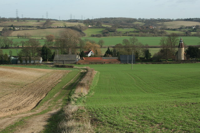
Cross End is a small village located in the county of Essex, in the eastern part of England. Situated approximately 7 miles northwest of the town of Chelmsford, it falls within the administrative district of Uttlesford. The village is nestled amidst picturesque countryside, offering residents and visitors a charming rural setting.
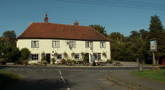
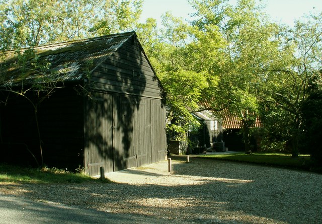
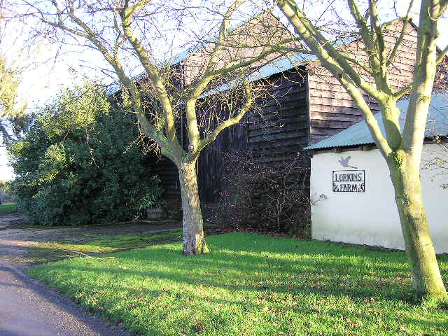
The primary feature of Cross End is its quaint and close-knit community, comprising a small number of residential properties. The village is known for its peaceful ambiance, making it an ideal retreat for those seeking a tranquil lifestyle. The properties in Cross End primarily consist of traditional cottages and farmhouses, adding to its idyllic character.
Despite its small size, Cross End benefits from its proximity to nearby towns and villages, providing easy access to essential amenities and services. The bustling town of Chelmsford is just a short drive away, offering a wide range of shops, supermarkets, restaurants, and leisure facilities. Additionally, the village is well-connected to the wider region, with good road links to major transport routes such as the A130 and A12.
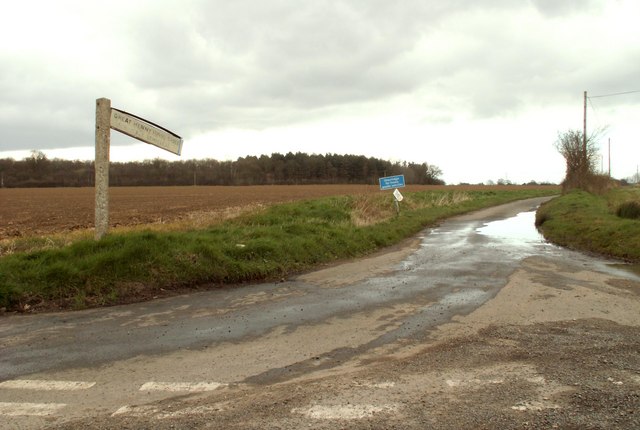
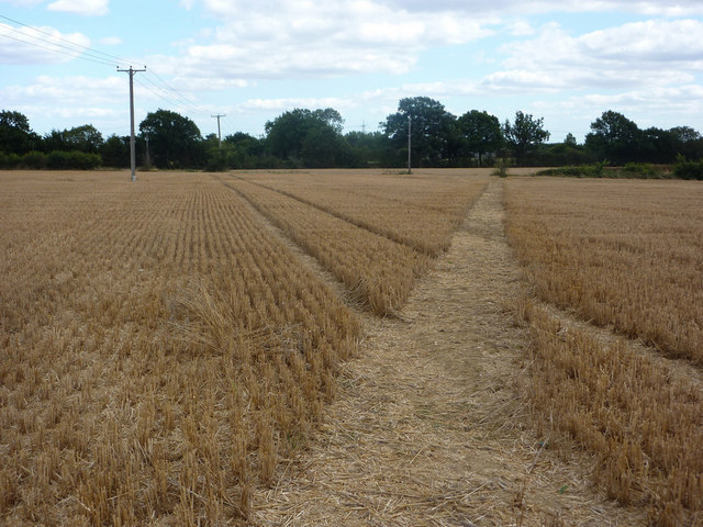
Surrounded by rolling countryside, Cross End offers numerous opportunities for outdoor activities. The village is encompassed by scenic walking trails, enabling residents to explore the beautiful landscape and enjoy the fresh air. Local farmers' markets and agricultural events also provide a taste of the area's rural heritage.
Overall, Cross End, Essex, presents itself as an inviting village, offering a peaceful and picturesque retreat for its residents, while still providing convenient access to nearby amenities and attractions.
If you have any feedback on the listing, please let us know in the comments section below.
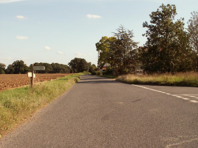
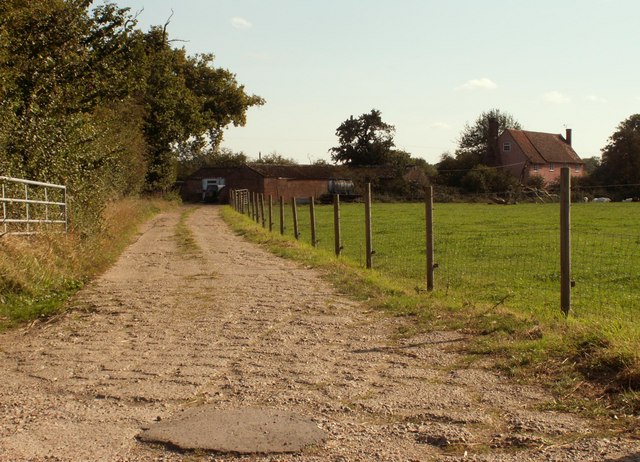
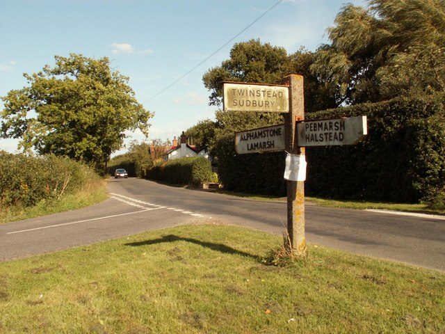
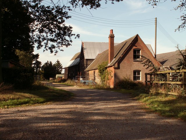
Cross End Images
Images are sourced within 2km of 51.972353/0.704316 or Grid Reference TL8533. Thanks to Geograph Open Source API. All images are credited.


Cross End is located at Grid Ref: TL8533 (Lat: 51.972353, Lng: 0.704316)
Administrative County: Essex
District: Braintree
Police Authority: Essex
What 3 Words
///fidget.thumb.fitter. Near Earls Colne, Essex
Related Wikis

Pebmarsh
Pebmarsh is a small village and a civil parish in the Braintree District, in Essex, England. It is situated to the north east of Halstead close to the...

Twinstead
Twinstead is a village and civil parish in the Braintree district in the county of Essex, England. It shares a parish council with Great Henny and Little...

Countess Cross
Countess Cross is a hamlet in the civil parish of Colne Engaine, near the town of Halstead in the Braintree district, in the English county of Essex....

Belchamp Rural District
Belchamp was a rural district in Essex in England. It was formed under the Local Government Act 1894 from that part of the Sudbury rural sanitary district...

Alphamstone
Alphamstone is a village and civil parish in Essex, England. It is located 3+3⁄4 miles (6.0 km) south of Sudbury in Suffolk and is 20 mi (32 km) northeast...

Little Maplestead
Little Maplestead is a village and civil parish in the Braintree district of Essex, England. == Amenities == Little Maplestead once had a Knights Hospitaller...

Colne Engaine
Colne Engaine is a village and a civil parish in Essex, England, situated just north of the River Colne and of the larger village of Earls Colne, approximately...
Lamarsh
Lamarsh is a village and a civil parish in the Braintree District, in the county of Essex, England. It is near the large village of Bures and the village...
Nearby Amenities
Located within 500m of 51.972353,0.704316Have you been to Cross End?
Leave your review of Cross End below (or comments, questions and feedback).