Cross End
Settlement in Bedfordshire
England
Cross End
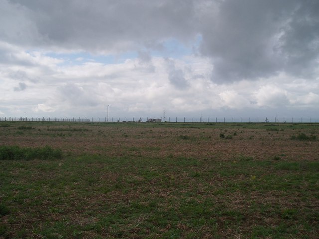
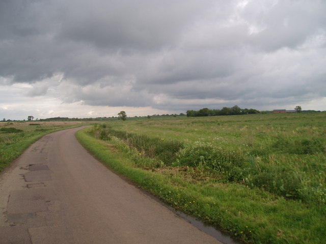
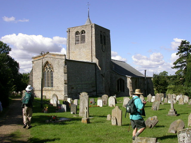
Cross End is a small village located in the county of Bedfordshire, England. Situated approximately 3 miles north of the town of Bedford, it is part of the civil parish of Renhold. The village is surrounded by picturesque countryside and boasts a tranquil and rural atmosphere.
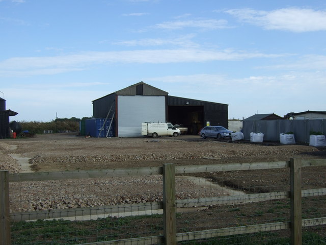
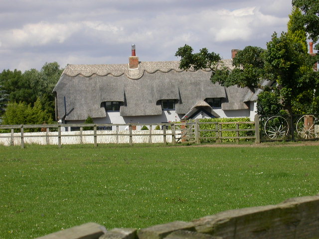
Cross End is home to a small population, with a mix of residential properties and agricultural land. The village is characterized by its charming cottages, many of which date back to the 18th and 19th centuries, lending a sense of history to the area.
While Cross End may be small, it benefits from its proximity to nearby amenities. The town of Bedford offers a wide range of shops, supermarkets, and restaurants, as well as excellent transport links. The A421 road runs nearby, providing easy access to other towns and cities in the region.
For those looking to explore the natural beauty of the area, Cross End is ideally located. The nearby River Great Ouse offers opportunities for boating and fishing, while the surrounding countryside provides ample space for walking, cycling, and other outdoor activities.
Overall, Cross End, Bedfordshire, is a charming and peaceful village that offers a sense of community and a slower pace of life. Its idyllic location and nearby amenities make it an attractive place to live for those seeking a rural lifestyle without sacrificing convenience.
If you have any feedback on the listing, please let us know in the comments section below.
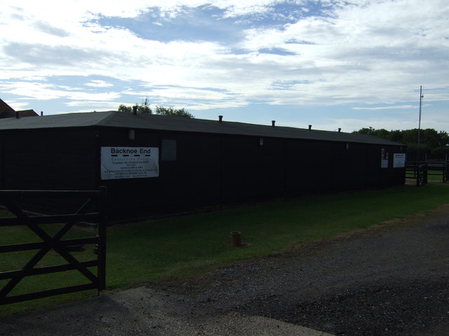
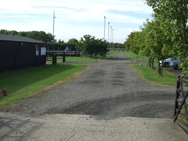
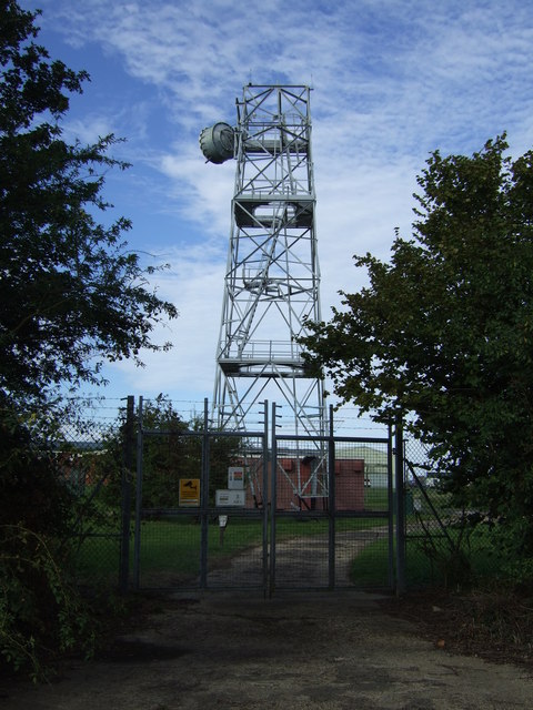
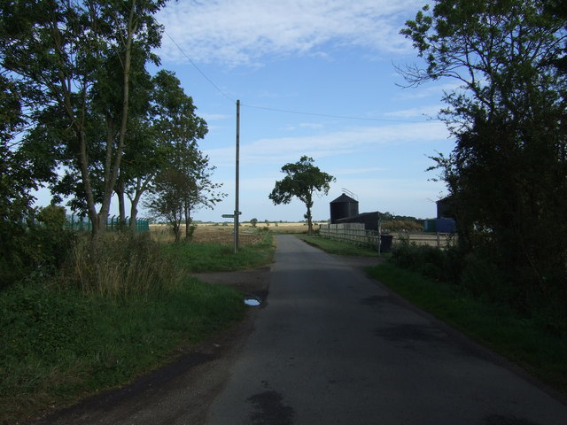
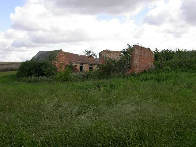
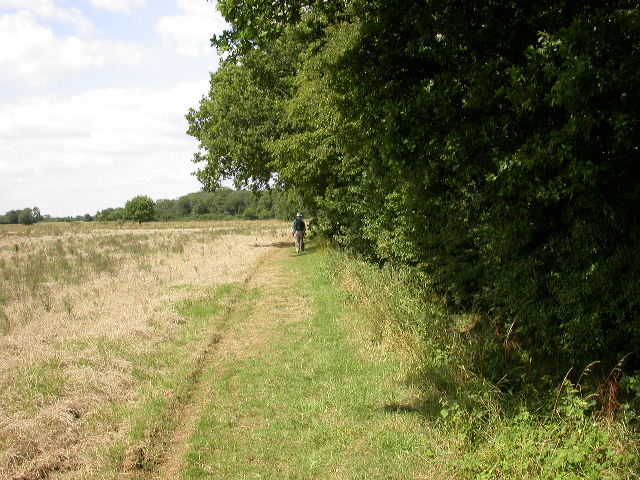
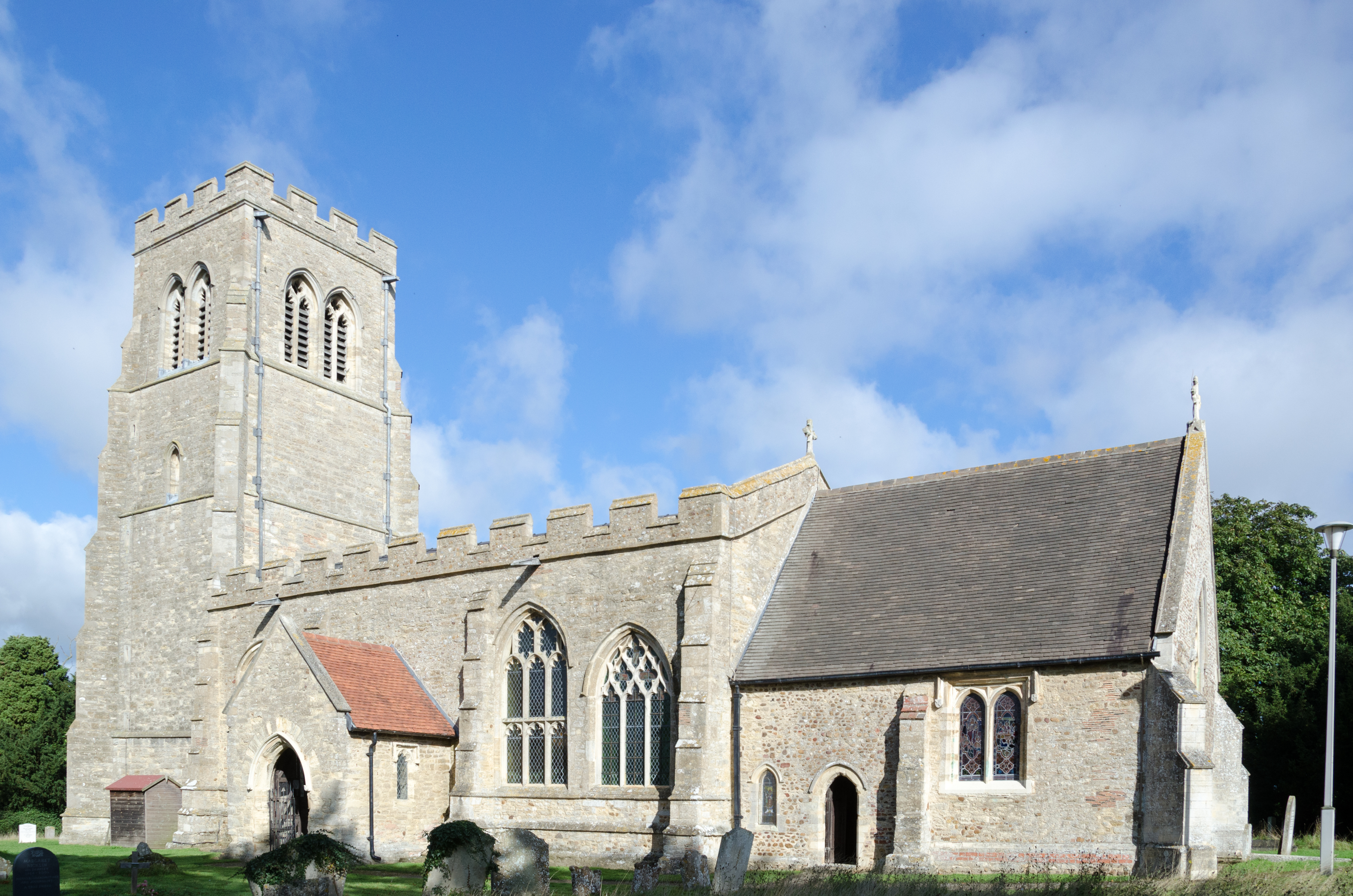
Cross End Images
Images are sourced within 2km of 52.214404/-0.443336 or Grid Reference TL0658. Thanks to Geograph Open Source API. All images are credited.


Cross End is located at Grid Ref: TL0658 (Lat: 52.214404, Lng: -0.443336)
Unitary Authority: Bedford
Police Authority: Bedfordshire
What 3 Words
///arranges.cornfield.dignity. Near Colmworth, Bedfordshire
Nearby Locations
Related Wikis

Thurleigh
Thurleigh is a village and civil parish in the Borough of Bedford, north Bedfordshire, England, situated around 5 miles (8.0 km) north of Bedford town...

Thurleigh Castle
Thurleigh Castle, also known as Bury Hills, was a medieval castle in the civil parish of Thurleigh, in the county of Bedfordshire, England. == Details... ==

Tilwick Meadow
Tilwick Meadow is a 2.6-hectare (6.4-acre) biological Site of Special Scientific Interest between Thurleigh and Wilden in Bedfordshire. It was notified...
Bedford Aerodrome
Bedford Aerodrome (ICAO: EGBF) is located 5 nautical miles (9.3 km; 5.8 mi) north of Bedford, in Bedfordshire, England. The aerodrome which is privately...
Bolnhurst
Bolnhurst is a small village and former civil parish, now in the parish of Bolnhurst and Keysoe, in the Borough of Bedford, Bedfordshire, England. The...

RAF Thurleigh
Royal Air Force Thurleigh or more simply RAF Thurleigh is a former Royal Air Force station located 5 miles (8.0 km) north of Bedford, Bedfordshire, England...

RAE Bedford
RAE Bedford was a research site of the Royal Aircraft Establishment between 1946 and 1994. It was located near the village of Thurleigh, north of the town...

Bolnhurst and Keysoe
Bolnhurst and Keysoe is a civil parish in the Borough of Bedford in Bedfordshire, England. According to the 2001 census it had a population of 734, reducing...
Nearby Amenities
Located within 500m of 52.214404,-0.443336Have you been to Cross End?
Leave your review of Cross End below (or comments, questions and feedback).