White Moor

Wood, Forest in Dorset

England

White Moor

Old railway bridge over Mannington Brook, West Moors This image, taken in February 2016, updates one I took in 2011. In that year, the bridge was heavily obscured by vegetation and rather neglected: the owners of the land (and the bridge) have now cleared the undergrowth - and coupled to a fine flow of water down the brook (flowing towards the viewer), and no leaves on the trees in the foreground, this makes quite a pleasing shot.
Old railway bridge over Mannington Brook, West Moors Credit: Martin Rowley

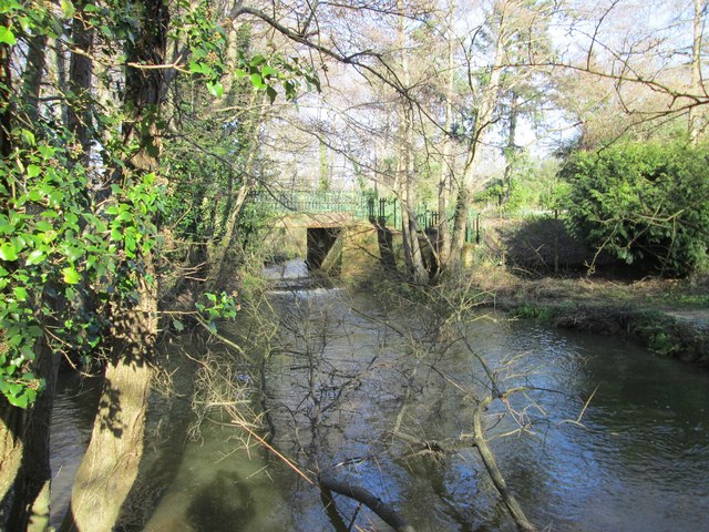
White Moor is a picturesque woodland area located in the county of Dorset in southern England. Covering an expansive area, this forest is renowned for its stunning natural beauty and diverse flora and fauna. It is a haven for nature lovers and outdoor enthusiasts alike.

The woodland of White Moor is characterized by its dense canopy of tall, mature trees, including oak, beech, and birch. The forest floor is covered in a rich carpet of moss and ferns, creating a lush and enchanting atmosphere. Various species of wildflowers, such as bluebells and primroses, add splashes of vibrant color to the landscape during the spring and summer months.

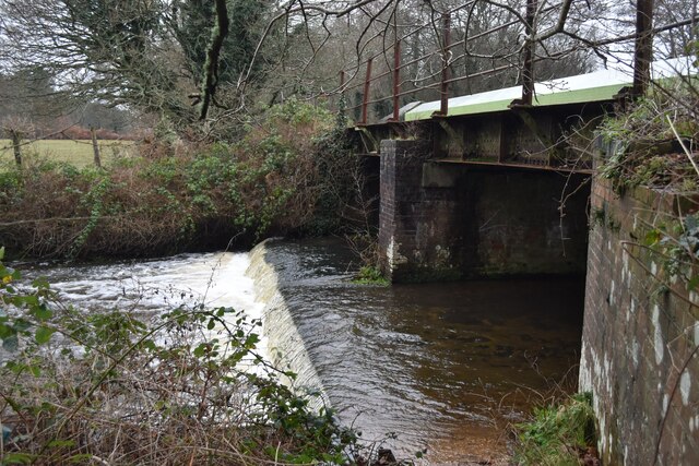
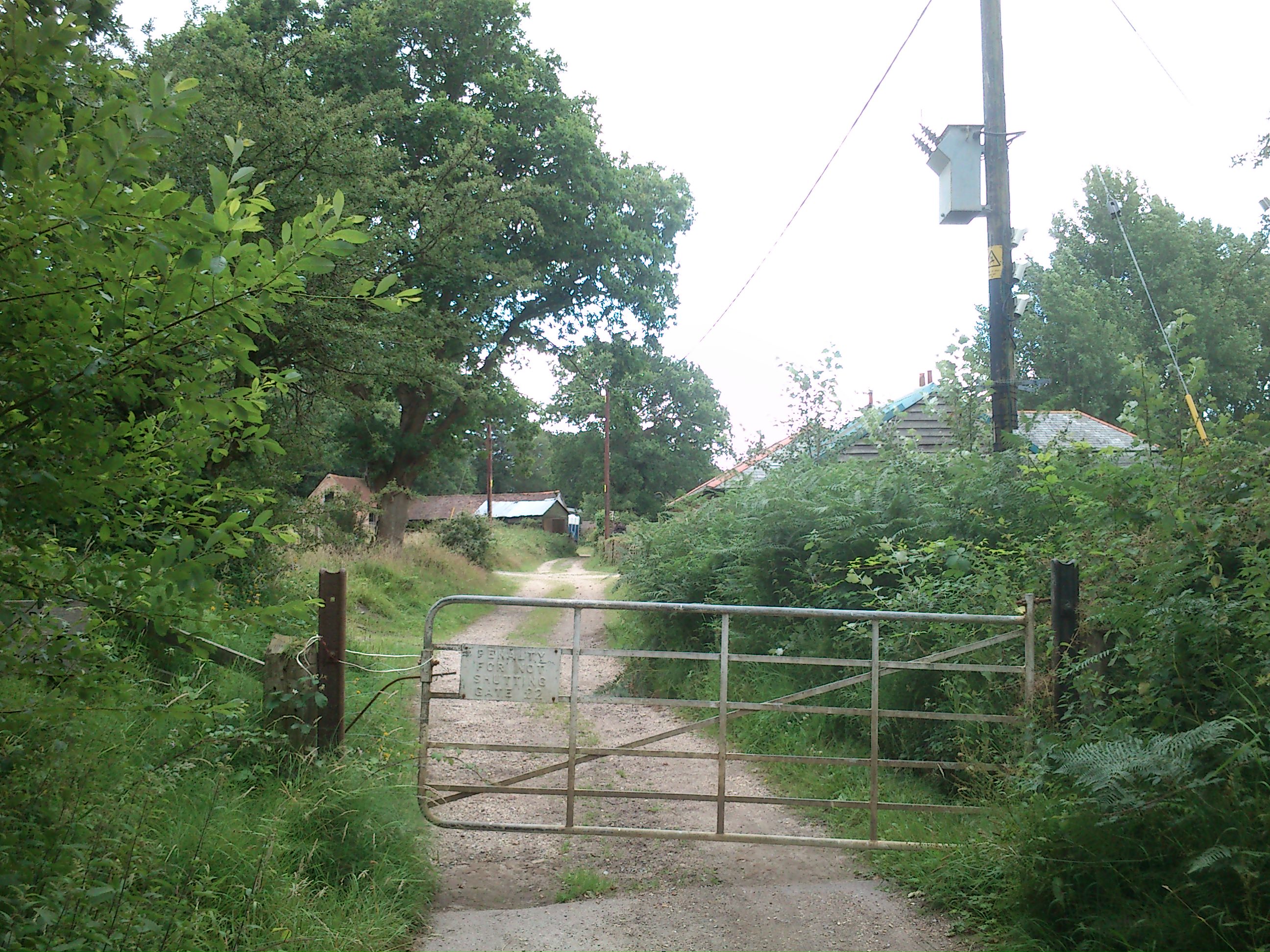
A network of well-maintained walking trails winds through the forest, providing visitors with the opportunity to explore its hidden gems. These trails lead to secluded ponds and streams, where visitors can observe a variety of aquatic life, including frogs, newts, and dragonflies. The area is also home to a diverse array of bird species, making it a popular spot for birdwatching.

White Moor is not only a place of natural beauty but also holds historical significance. The forest has been used as a source of timber for centuries, and evidence of past woodland management practices can still be seen today.

Overall, White Moor offers a peaceful and serene escape from the hustle and bustle of everyday life. Whether it's a leisurely stroll through the woodland, birdwatching, or simply enjoying the tranquility of nature, this forest is a must-visit destination for those seeking a connection with the natural world.

If you have any feedback on the listing, please let us know in the comments section below.

White Moor Images

Images are sourced within 2km of 50.829477/-1.8689219 or Grid Reference SU0903. Thanks to Geograph Open Source API. All images are credited.

Old railway bridge over Mannington Brook, West Moors This image, taken in February 2016, updates one I took in 2011. In that year, the bridge was heavily obscured by vegetation and rather neglected: the owners of the land (and the bridge) have now cleared the undergrowth - and coupled to a fine flow of water down the brook (flowing towards the viewer), and no leaves on the trees in the foreground, this makes quite a pleasing shot.
Old railway bridge over Mannington Brook, West Moors
This image, taken in February 2016, updates one I took in 2011. In that year, the bridge was heavily obscured by vegetation and rather neglected: the owners of the land (and the bridge) have now cleared the undergrowth - and coupled to a fine flow of water down the brook (flowing towards the viewer), and no leaves on the trees in the foreground, this makes quite a pleasing shot.
Lidl on Ringwood Road, Ferndown
The Azalea roundabout on the A31, Ferndown
Roundabout on The A31, Trickett's Cross
The Palmsersford Roundabout, Trickett's Cross
The A31 near West Moors
Going underground A subway going under a busy roundabout and dual carriageway.
pathway around a woodland area.
Going underground
A subway going under a busy roundabout and dual carriageway. pathway around a woodland area.
Old Boundary Marker by Ringwood Road, Three Legged Cross, Verwood parish Estate Boundary Marker - War Department by the UC road, in parish of Verwood (East Dorset District), Ringwood Road, Three Legged Cross, at gated entrance 250m East of the junction with School Lane by the hedge.

Inscription reads:-
W^D
BS
19

Surveyed

Milestone Society National ID: DO_WDWMO19em
Old Boundary Marker by Ringwood Road, Three Legged Cross, Verwood parish
Estate Boundary Marker - War Department by the UC road, in parish of Verwood (East Dorset District), Ringwood Road, Three Legged Cross, at gated entrance 250m East of the junction with School Lane by the hedge. Inscription reads:- W^D BS 19 Surveyed Milestone Society National ID: DO_WDWMO19em
Ashurst Road A narrow fairly leafy residential road in West Moors.
Ashurst Road
A narrow fairly leafy residential road in West Moors.
The Avenue A leafy residential road in West Moors.
The Avenue
A leafy residential road in West Moors.
Former railway bridge over Moors River
Weir on Moors River Below the former railway bridge, now carrying the Castleman Trailway.
Weir on Moors River
Below the former railway bridge, now carrying the Castleman Trailway.
Muddy path on the edge of West Moors Plantation
Cycle route through West Moors Plantation
Junction of Southern Road and Uplands Road Typical bungalow street scene in West Moors.
Junction of Southern Road and Uplands Road
Typical bungalow street scene in West Moors.
Postal delivery, Abbey Road
New infill housing beside Pinehurst Road
Pinehurst Community Church With one of the most minimal church spires I have ever seen!
Pinehurst Community Church
With one of the most minimal church spires I have ever seen!
Show me another place!

White Moor is located at Grid Ref: SU0903 (Lat: 50.829477, Lng: -1.8689219)

Unitary Authority: Dorset

Police Authority: Dorset

What 3 Words

///matter.bench.enjoyable. Near St Leonards, Dorset

Related Wikis

Woolsbridge

Woolsbridge is a village in Dorset, England. Woolsbridge was formerly under the control of the Earl of Normanton and is a part of the civil parish of Cranbourne...

West Moors railway station

West Moors is a closed railway station in Dorset. Opened in 1867, it became the junction of the Southampton and Dorchester Railway and the Salisbury and...

Lions Hill

Lions Hill (grid reference SU106040) is a 42.9 hectare biological Site of Special Scientific Interest in Dorset, notified in 1985. == External links... ==

West Moors

West Moors is a village in Dorset, England, on the northern fringe of the Poole-Bournemouth conurbation, just outside the larger settlements of Ferndown...

Nearby Amenities

Located within 500m of 50.829477,-1.8689219
Power: tower
Source: Bing
Lat/Long: 50.8263823/-1.8659374
Power: tower
Source: Bing
Lat/Long: 50.8284194/-1.8729004
The data included in this document is from www.openstreetmap.org. The data is made available under ODbL.

Have you been to White Moor?

Leave your review of White Moor below (or comments, questions and feedback).