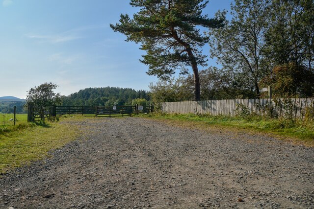
Watch Hill Plantation
Wood, Forest in Northumberland
England
Watch Hill Plantation
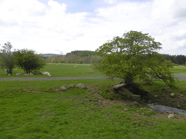
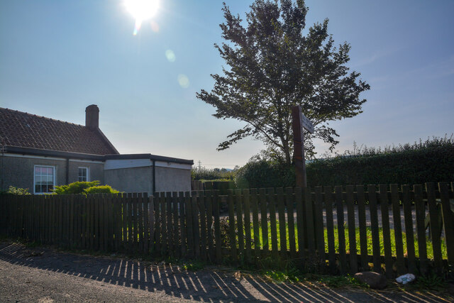
Watch Hill Plantation is a historic estate located in Northumberland County, Virginia. Nestled amidst a picturesque wood, this sprawling property spans over 1,000 acres and is renowned for its natural beauty and rich history. The plantation is situated on the banks of the Potomac River, offering stunning views and a tranquil setting.
Originally established in the 17th century, Watch Hill Plantation has a long and storied past. It was once a thriving tobacco plantation, with vast fields that stretched as far as the eye could see. Over the years, the property has undergone several transformations, but it still retains its original charm and grandeur.
The main house, a stately Georgian-style mansion, serves as the centerpiece of the estate. With its elegant architecture and classic design, it exudes a sense of timeless sophistication. The interior is equally impressive, featuring meticulously restored rooms that showcase the plantation's rich history.
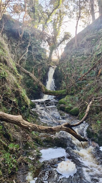
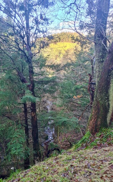
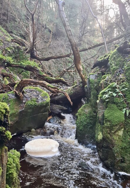
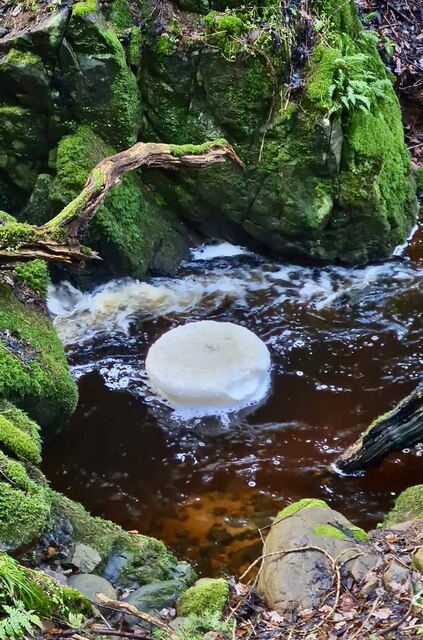
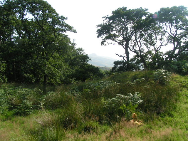
Surrounding the main house are beautifully landscaped gardens, adorned with vibrant flowers and towering trees. The plantation also boasts a lush forest, which provides a haven for wildlife and outdoor enthusiasts alike. Trails wind through the woods, offering visitors the opportunity to explore the natural beauty of the estate.
Today, Watch Hill Plantation is privately owned and occasionally opens its doors to the public. It serves as a popular venue for weddings, special events, and guided tours, allowing visitors to experience the grandeur and allure of this historic estate. Whether one is interested in history, nature, or simply seeking a peaceful retreat, Watch Hill Plantation offers a truly captivating experience.
If you have any feedback on the listing, please let us know in the comments section below.
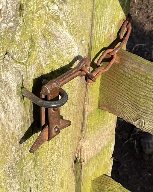
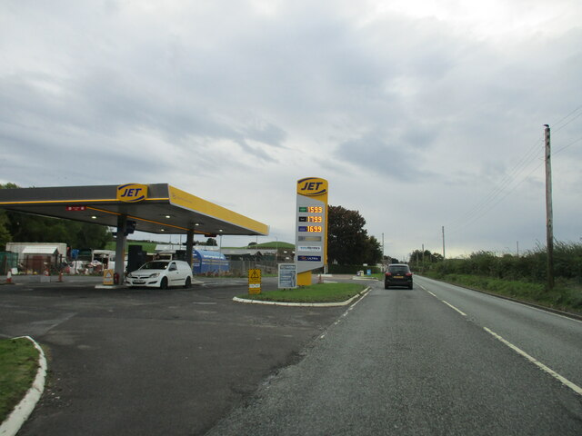
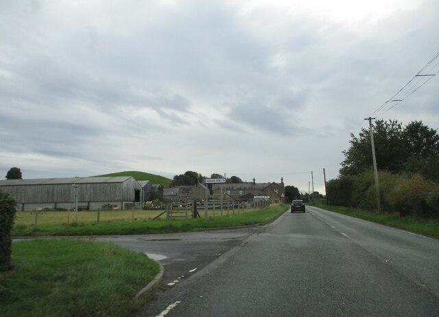
Watch Hill Plantation Images
Images are sourced within 2km of 55.523962/-2.0236684 or Grid Reference NT9825. Thanks to Geograph Open Source API. All images are credited.
Watch Hill Plantation is located at Grid Ref: NT9825 (Lat: 55.523962, Lng: -2.0236684)
Unitary Authority: Northumberland
Police Authority: Northumbria
What 3 Words
///wiped.doing.pavilions. Near Wooler, Northumberland
Nearby Locations
Related Wikis

Earle, Northumberland
Earle is a village and civil parish in county of Northumberland, England. It has around 20 inhabitants and is about 2 miles (3 km) from Wooler (where from...

Wooler
Wooler ( WUUL-ə) is a town in Northumberland, England. It lies on the edge of the Northumberland National Park, near the Cheviot Hills. It is a popular...

St Ninian's Catholic Church, Wooler
St Ninian’s church is a Catholic place of worship situated on Burnhouse Road in the town of Wooler in Northumberland, England. It is a Grade II listed...
Cheviot Fringe
Cheviot Fringe ( CHEE-vee-ət) is a geographical region and a Natural England designated National Character Area (or NCA) located in the county Northumberland...
Wooler railway station
Wooler railway station was a stone-built railway station serving the town of Wooler in Northumberland. It was on the Alnwick to Cornhill Branch which ran...

Humbleton Hill
Humbleton Hill is a hill in Northumberland, England, about 1.5 miles (2.4 km) west of Wooler. It is the location of the Battle of Homildon Hill of 1402...

Ilderton railway station
Ilderton railway station served the village of Ilderton, Northumberland, England from 1887 to 1953 on the Cornhill Branch. == History == The station opened...

Lilburn Tower
Lilburn Tower is a privately owned 19th-century mansion house at Lilburn, near Wooler, Northumberland. The property is a Grade II* listed building and...
Nearby Amenities
Located within 500m of 55.523962,-2.0236684Have you been to Watch Hill Plantation?
Leave your review of Watch Hill Plantation below (or comments, questions and feedback).