Carrick's Plantation

Wood, Forest in Durham

England

Carrick's Plantation

Haybales near Ruffside Hall
Haybales near Ruffside Hall Credit: Oliver Dixon

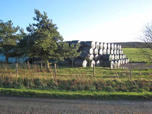
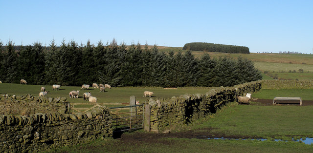
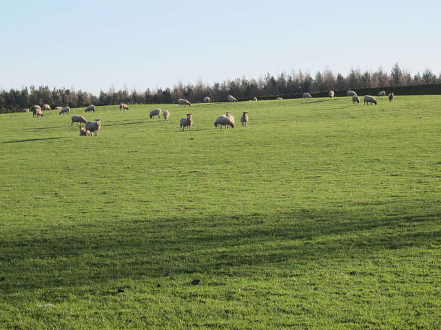
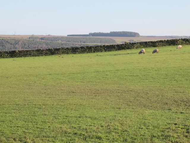
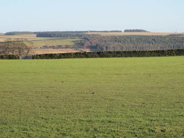
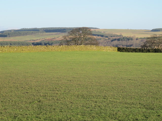
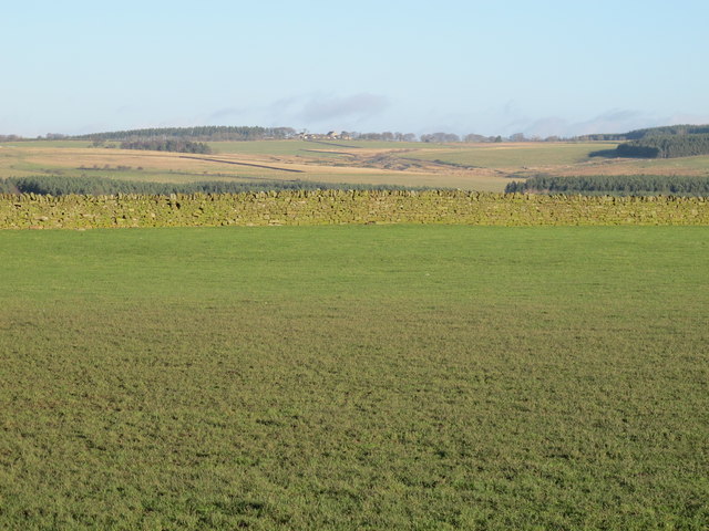
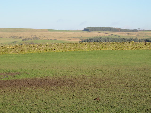
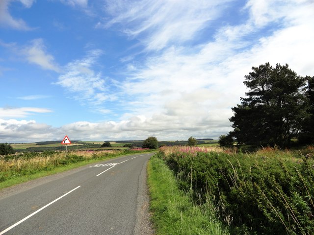
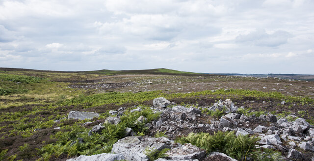
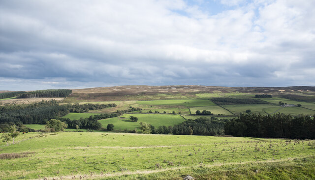
Carrick's Plantation is a sprawling woodland area located in Durham, England. Covering an area of approximately 200 acres, it is primarily made up of dense forests and woodlands, offering a serene and peaceful environment for visitors to enjoy.

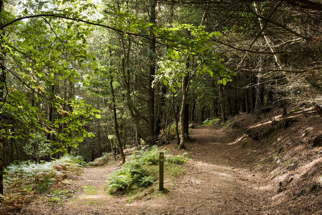
The plantation is known for its diverse range of tree species, including oak, ash, beech, and birch, which create a vibrant and lush canopy overhead. These trees provide a habitat for a wide variety of wildlife, such as birds, squirrels, and rabbits, making Carrick's Plantation a haven for nature enthusiasts and birdwatchers.

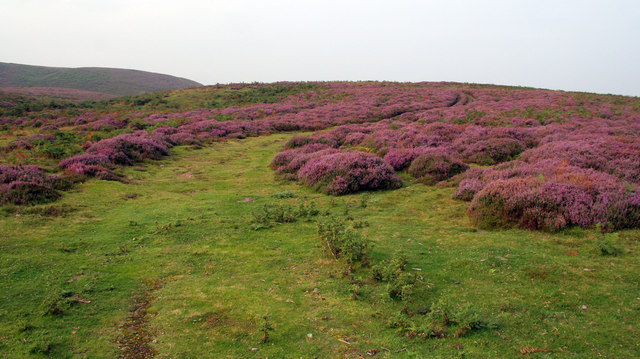
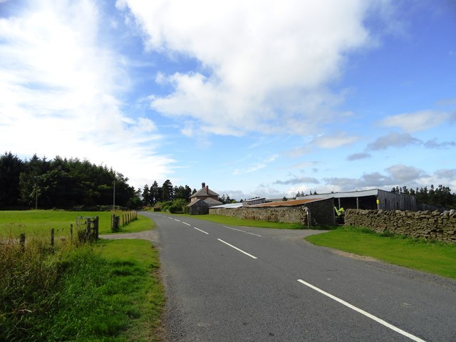
Visitors to Carrick's Plantation can explore its numerous walking trails that wind through the woodland, allowing them to immerse themselves in the beauty and tranquility of the natural surroundings. The plantation also features picnic areas and benches, providing a perfect spot for visitors to relax and enjoy a packed lunch amidst the peaceful ambiance.

Carrick's Plantation offers a unique opportunity for visitors to escape the hustle and bustle of urban life and reconnect with nature. Whether it's taking a leisurely stroll along the woodland trails, observing the diverse flora and fauna, or simply enjoying a moment of solitude, this plantation provides a tranquil retreat for individuals seeking respite in the beauty of the natural world.

Overall, Carrick's Plantation is a picturesque woodland area in Durham, offering visitors a chance to unwind and reconnect with nature in a serene and idyllic setting.

If you have any feedback on the listing, please let us know in the comments section below.

Carrick's Plantation Images

Images are sourced within 2km of 54.856931/-2.0232095 or Grid Reference NY9851. Thanks to Geograph Open Source API. All images are credited.

Haybales near Ruffside Hall
Barn near Ruffside Hall
Berry Bank Track leading up through the heather on Berry Bank.
Berry Bank
Track leading up through the heather on Berry Bank.
Ruffside Wooden barns near Ruffside.
Ruffside
Wooden barns near Ruffside.
Low Hospital Plantation Low Hospital Plantation is seen here over walls and fields from the B6306. The plantation on the skyline is on the north side of Derwent Reservoir on Pithouse Fell.
Low Hospital Plantation
Low Hospital Plantation is seen here over walls and fields from the B6306. The plantation on the skyline is on the north side of Derwent Reservoir on Pithouse Fell.
Pastures east of Hunter House Plantation
Pastures southwest of Hunter House
Pastures southwest of Hunter House (2)
Pastures southwest of Hunter House (3)
Pastures southwest of Hunter House (4) Looking across the Derwent Reservoir (hidden below the first horizon) towards the buildings at <a href="https://www.geograph.org.uk/photo/282282">NZ0155 : West Minsteracres Farm</a> (photographed by Oliver Dixon).
Pastures southwest of Hunter House (4)
Looking across the Derwent Reservoir (hidden below the first horizon) towards the buildings at NZ0155 : West Minsteracres Farm (photographed by Oliver Dixon).
Pastures southwest of Hunter House (5)
View of Paradise Farm from the east This farm stands beside the Blanchland to Edmundbyers road, in some lovely countryside south of the Derwent Reservoir. Seems to date from the earlier part of the 20th century.
View of Paradise Farm from the east
This farm stands beside the Blanchland to Edmundbyers road, in some lovely countryside south of the Derwent Reservoir. Seems to date from the earlier part of the 20th century.
Looking east along the B6306 This is the country road that runs between Blanchland and Edmundbyers, south of the Derwent Reservoir. View is from east of Paradise Farm, where the roads bends south.
Looking east along the B6306
This is the country road that runs between Blanchland and Edmundbyers, south of the Derwent Reservoir. View is from east of Paradise Farm, where the roads bends south.
Road beside Hunter House Plantation This is the B6306 which runs between Blanchland and Edmundbyers. Along this section there is a complete contrast between the farmland and plantations on the north side and the open sweep of Ruffside Moor on the south.
Road beside Hunter House Plantation
This is the B6306 which runs between Blanchland and Edmundbyers. Along this section there is a complete contrast between the farmland and plantations on the north side and the open sweep of Ruffside Moor on the south.
Road east of Ruffside Old maps show this named as 'Roughside'.
Road east of Ruffside
Old maps show this named as 'Roughside'.
Rocks along sparsely vegetated rib of ground Close to the village of Edmundbyers, low heather is growing along a minor ridge of ground with scattered angular rocks. The shallow-angled moorland cones in the distance are not named on OS maps but are where Matt's Sheepfold is located.
Rocks along sparsely vegetated rib of ground
Close to the village of Edmundbyers, low heather is growing along a minor ridge of ground with scattered angular rocks. The shallow-angled moorland cones in the distance are not named on OS maps but are where Matt's Sheepfold is located.
Path junction in High Banks Plantation A path has descended from the B6306 to fork at this location in woodland close to Blanchland. The image was made a little over ten years after an earlier one of the same scene: little has changed! <a title="https://www.geograph.org.uk/photo/2475487" href="https://www.geograph.org.uk/photo/2475487">Link</a>
Path junction in High Banks Plantation
A path has descended from the B6306 to fork at this location in woodland close to Blanchland. The image was made a little over ten years after an earlier one of the same scene: little has changed! Link
Field on east side of B6306 The field descends towards the River Derwent south-west of the Derwent Reservoir.
The ground beyond the valley rises to the moorland of Bainbridge Hill and Ruffside Moor.
Field on east side of B6306
The field descends towards the River Derwent south-west of the Derwent Reservoir. The ground beyond the valley rises to the moorland of Bainbridge Hill and Ruffside Moor.
Show me another place!

Carrick's Plantation is located at Grid Ref: NY9851 (Lat: 54.856931, Lng: -2.0232095)

Unitary Authority: County Durham

Police Authority: Durham

What 3 Words

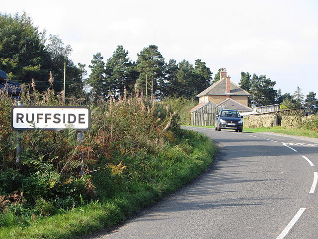
///poet.aimlessly.proven. Near Slaley, Northumberland

Related Wikis

Blanchland Abbey

Blanchland Abbey at Blanchland, in the English county of Northumberland, was founded as a premonstratensian priory in 1165 by Walter de Bolbec II, and...

Blanchland

Blanchland is a village in Northumberland, England, on the County Durham boundary. The population of the civil parish at the 2011 census was 135.Set beside...

Pow Hill Bog

Pow Hill Bog is a Site of Special Scientific Interest in the Wear Valley district of County Durham, England. It lies alongside Derwent Reservoir, approximately...

Derwent Reservoir (North East England)

The Derwent Reservoir is a reservoir on the River Derwent, on the border between County Durham and Northumberland, in England. It is west of Consett. It...

Baybridge, Northumberland

Baybridge is a small village in Northumberland, England, just to the west of Blanchland and on the border with County Durham. It is situated to the west...

Edmundbyers

Edmundbyers is a village in County Durham, in England. It is situated a few miles to the west of Consett, near Derwent Reservoir. In 2001 it had a population...

Hunstanworth

Hunstanworth is a village in County Durham, England. It is situated approximately 10 miles to the west of Consett, south-west of the village of Blanchland...

Colpitts Grange

Colpitts Grange is a hamlet in Northumberland, England. It is about 7 miles (11 km) to the south-east of Hexham. == Governance == Colpitts Grange is in...

Related Videos

Harrison's Cross Blanchland

As far as I can tell, this cross like structure has no significant meaning, and was probably built to protect animals from the high ...

Blanchland & Slaley Forest, Northumberland - 6 March 2023

A 10 mile walk from Blanchland. The route heads east along the River Derwent until it reaches the Derwent Reservoir. Here the ...

Exploring Blanchland, Northumberland Northen England.

I really enjoy my ride to Blanchland and I will be exploring more of Northumberland in the next few months so I hope you will like ...

Nearby Amenities

Located within 500m of 54.856931,-2.0232095
Bus Stop
Derwent Reservoir West End
Naptan AtcoCode: 13001079B
Naptan Bearing: NE
Naptan CommonName: Derwent Reservoir West End
Naptan Indicator: north east bound
Naptan Landmark: Landmark not known
Naptan NaptanCode: duradagm
Naptan Notes: B6306- at junction with unamed road- SW of Ruffside- between Blanchland and Edmundbyers.
Naptan Street: B6306
Naptan Verified: no
Source: naptan_import
Lat/Long: 54.8541064/-2.0274141
Bus Stop
Derwent Reservoir West End
Naptan AtcoCode: 13001079F
Naptan Bearing: SW
Naptan CommonName: Derwent Reservoir West End
Naptan Indicator: south west bound
Naptan Landmark: Landmark not known
Naptan NaptanCode: duradagp
Naptan Notes: B6306- at junction with unamed road- SW of Ruffside- between Blanchland and Edmundbyers.
Naptan Street: B6306
Naptan Verified: no
Source: naptan_import
Lat/Long: 54.8540345/-2.027305
The data included in this document is from www.openstreetmap.org. The data is made available under ODbL.

Have you been to Carrick's Plantation?

Leave your review of Carrick's Plantation below (or comments, questions and feedback).