Sawmill Wood

Wood, Forest in Durham

England

Sawmill Wood

Pow Hill Country Park <span class="nowrap"><a title="http://www.durham.gov.uk/durhamcc/usp.nsf/pws/Parks+and+Picnic+Areas+-+Pow+Hill" rel="nofollow ugc noopener" href="http://www.durham.gov.uk/durhamcc/usp.nsf/pws/Parks+and+Picnic+Areas+-+Pow+Hill">Link</a><img style="margin-left:2px;" alt="External link" title="External link - shift click to open in new window" src="https://s1.geograph.org.uk/img/external.png" width="10" height="10"/></span> Upper picnic site, next to the road.
Pow Hill Country Park Credit: Oliver Dixon

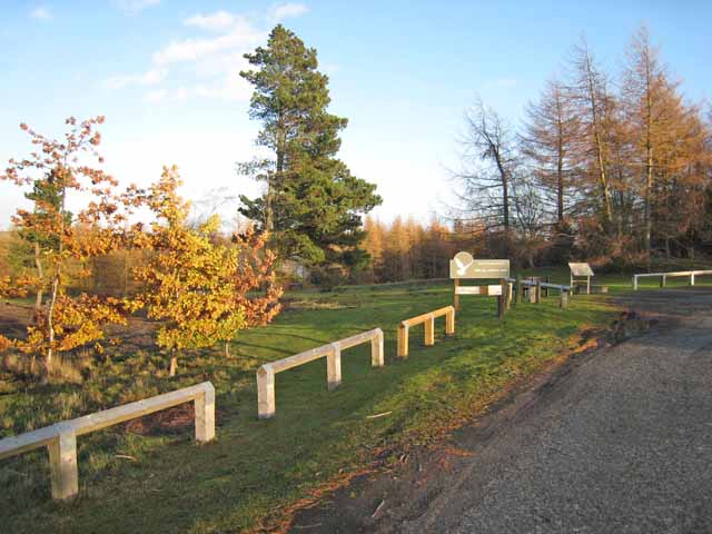
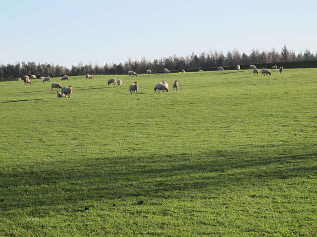
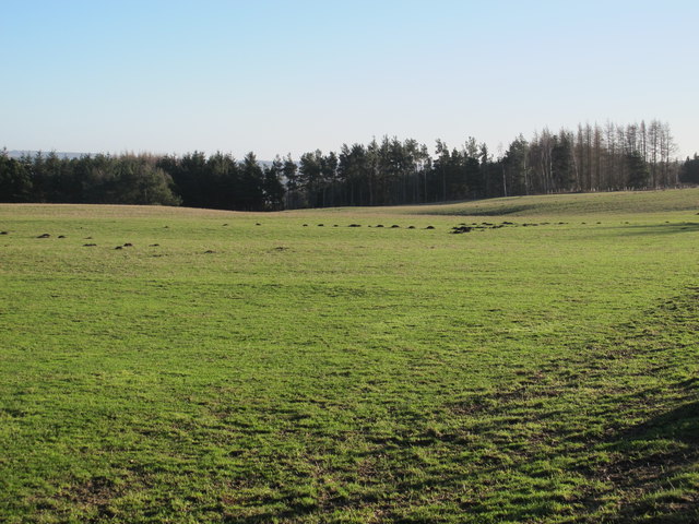
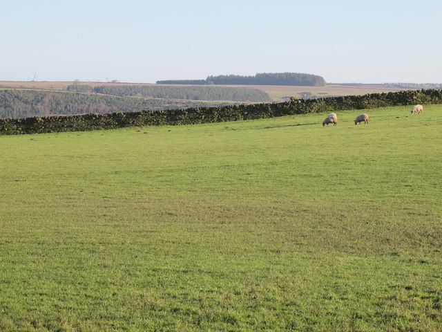
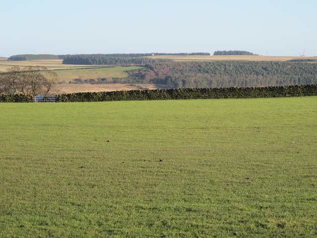
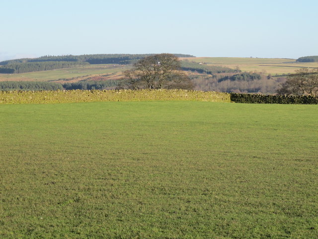
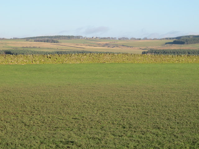
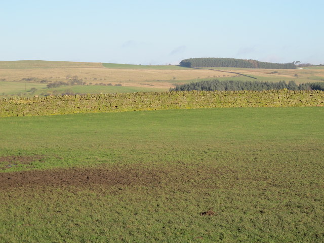
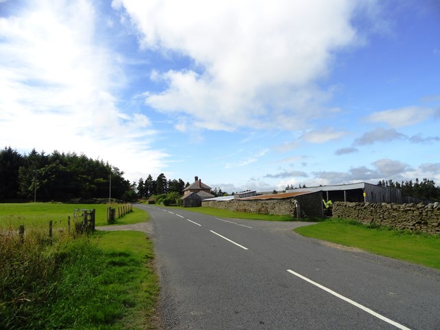
Sawmill Wood is a beautiful forest located in Durham, England. Spanning over a vast area of land, this wood is a haven for nature enthusiasts and those seeking tranquility amidst the bustling city life. The wood is known for its diverse range of tree species, creating a vibrant and lush environment.

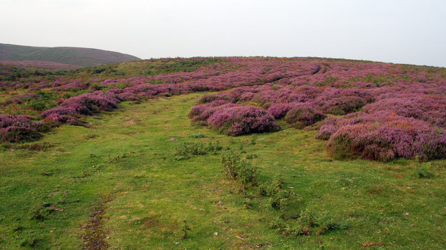
At Sawmill Wood, visitors can expect to encounter a variety of tree species such as oak, beech, pine, and birch. These trees provide a stunning canopy that offers shade and shelter to the woodland floor below. The forest floor is covered in a rich carpet of ferns, wildflowers, and mosses, creating a picturesque scene.

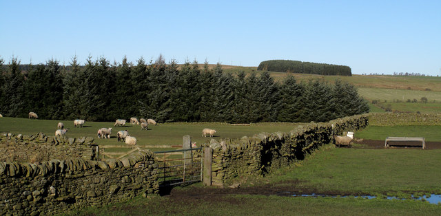
The wood is also home to an array of wildlife, including birds, squirrels, rabbits, and deer. Birdwatching enthusiasts can spot a multitude of species, such as woodpeckers, owls, and songbirds. The serene atmosphere of the wood makes it an ideal location for birdwatching and wildlife photography.

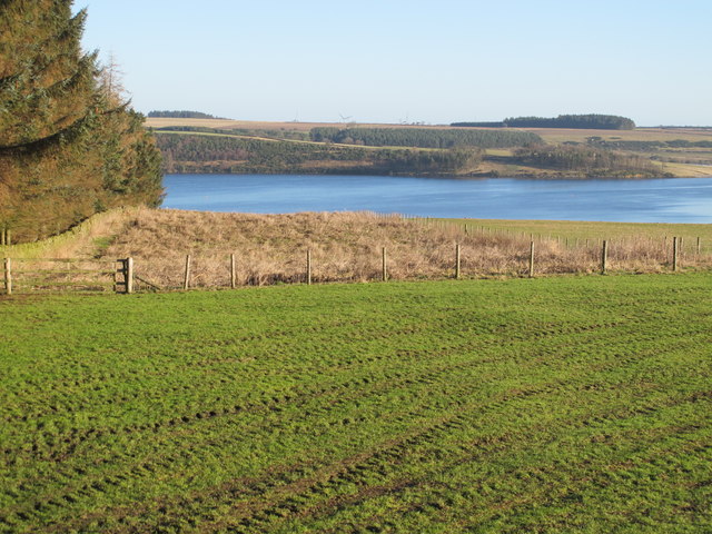
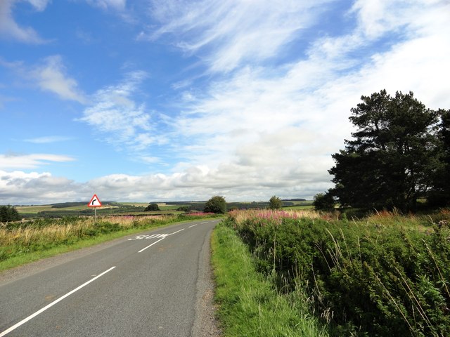
Trails and pathways wind their way through Sawmill Wood, providing visitors with the opportunity to explore its natural beauty. These paths are well-maintained and offer a range of difficulty levels, catering to both casual strollers and avid hikers. Along the trails, visitors can enjoy breathtaking views of the wood and may come across small streams and ponds.

Sawmill Wood is a true gem in Durham, offering a peaceful retreat for those seeking to connect with nature. Whether it's a leisurely walk, birdwatching, or simply enjoying the serenity, this wood is a must-visit destination for nature lovers.

If you have any feedback on the listing, please let us know in the comments section below.

Sawmill Wood Images

Images are sourced within 2km of 54.858675/-2.0193162 or Grid Reference NY9851. Thanks to Geograph Open Source API. All images are credited.

Pow Hill Country Park <span class="nowrap"><a title="http://www.durham.gov.uk/durhamcc/usp.nsf/pws/Parks+and+Picnic+Areas+-+Pow+Hill" rel="nofollow ugc noopener" href="http://www.durham.gov.uk/durhamcc/usp.nsf/pws/Parks+and+Picnic+Areas+-+Pow+Hill">Link</a><img style="margin-left:2px;" alt="External link" title="External link - shift click to open in new window" src="https://s1.geograph.org.uk/img/external.png" width="10" height="10"/></span> Upper picnic site, next to the road.
Pow Hill Country Park
LinkExternal link Upper picnic site, next to the road.
Haybales near Ruffside Hall
Barn near Ruffside Hall
Berry Bank The B6306 crossing Skinny Burn at Berry Bank.
Berry Bank
The B6306 crossing Skinny Burn at Berry Bank.
Berry Bank Track leading up through the heather on Berry Bank.
Berry Bank
Track leading up through the heather on Berry Bank.
Ruffside Wooden barns near Ruffside.
Ruffside
Wooden barns near Ruffside.
Fields descending towards Derwent Reservoir The view downhill towards the reservoir is from the B6306. Hunter House Plantation lies to the left in this image and a helicopter flies through.
Fields descending towards Derwent Reservoir
The view downhill towards the reservoir is from the B6306. Hunter House Plantation lies to the left in this image and a helicopter flies through.
Low Hospital Plantation Low Hospital Plantation is seen here over walls and fields from the B6306. The plantation on the skyline is on the north side of Derwent Reservoir on Pithouse Fell.
Low Hospital Plantation
Low Hospital Plantation is seen here over walls and fields from the B6306. The plantation on the skyline is on the north side of Derwent Reservoir on Pithouse Fell.
Pastures east of Hunter House Plantation
Farmland west of Pow Hill Country Park
Pastures southwest of Hunter House
Pastures southwest of Hunter House (2)
Pastures southwest of Hunter House (3)
Pastures southwest of Hunter House (4) Looking across the Derwent Reservoir (hidden below the first horizon) towards the buildings at <a href="https://www.geograph.org.uk/photo/282282">NZ0155 : West Minsteracres Farm</a> (photographed by Oliver Dixon).
Pastures southwest of Hunter House (4)
Looking across the Derwent Reservoir (hidden below the first horizon) towards the buildings at NZ0155 : West Minsteracres Farm (photographed by Oliver Dixon).
Pastures southwest of Hunter House (5)
Farmland southeast of Hunter House Plantation
View of Paradise Farm from the east This farm stands beside the Blanchland to Edmundbyers road, in some lovely countryside south of the Derwent Reservoir. Seems to date from the earlier part of the 20th century.
View of Paradise Farm from the east
This farm stands beside the Blanchland to Edmundbyers road, in some lovely countryside south of the Derwent Reservoir. Seems to date from the earlier part of the 20th century.
Looking east along the B6306 This is the country road that runs between Blanchland and Edmundbyers, south of the Derwent Reservoir. View is from east of Paradise Farm, where the roads bends south.
Looking east along the B6306
This is the country road that runs between Blanchland and Edmundbyers, south of the Derwent Reservoir. View is from east of Paradise Farm, where the roads bends south.
Show me another place!

Sawmill Wood is located at Grid Ref: NY9851 (Lat: 54.858675, Lng: -2.0193162)

Unitary Authority: County Durham

Police Authority: Durham

What 3 Words

///yard.reference.clutter. Near Slaley, Northumberland

Related Wikis

Pow Hill Bog

Pow Hill Bog is a Site of Special Scientific Interest in the Wear Valley district of County Durham, England. It lies alongside Derwent Reservoir, approximately...

Derwent Reservoir (North East England)

The Derwent Reservoir is a reservoir on the River Derwent, on the border between County Durham and Northumberland, in England. It is west of Consett. It...

Blanchland Abbey

Blanchland Abbey at Blanchland, in the English county of Northumberland, was founded as a premonstratensian priory in 1165 by Walter de Bolbec II, and...

Blanchland

Blanchland is a village in Northumberland, England, on the County Durham boundary. The population of the civil parish at the 2011 census was 135.Set beside...

Edmundbyers

Edmundbyers is a village in County Durham, in England. It is situated a few miles to the west of Consett, near Derwent Reservoir. In 2001 it had a population...

Baybridge, Northumberland

Baybridge is a small village in Northumberland, England, just to the west of Blanchland and on the border with County Durham. It is situated to the west...

Colpitts Grange

Colpitts Grange is a hamlet in Northumberland, England. It is about 7 miles (11 km) to the south-east of Hexham. == Governance == Colpitts Grange is in...

Hunstanworth

Hunstanworth is a village in County Durham, England. It is situated approximately 10 miles to the west of Consett, south-west of the village of Blanchland...

Nearby Amenities

Located within 500m of 54.858675,-2.0193162
Ruffside
Place: locality
Lat/Long: 54.8581144/-2.0143233
Bus Stop
Ruffside
Naptan AtcoCode: 13001076B
Naptan Bearing: NE
Naptan CommonName: Ruffside
Naptan Indicator: north east bound
Naptan Landmark: Landmark not known
Naptan NaptanCode: duradadp
Naptan Notes: South of 5 Fell Farm.
Naptan Street: B6306
Naptan Verified: no
Source: naptan_import
Lat/Long: 54.8582154/-2.0152974
Bus Stop
Ruffside
Naptan AtcoCode: 13001076F
Naptan Bearing: SW
Naptan CommonName: Ruffside
Naptan Indicator: south west bound
Naptan Landmark: Landmark not known
Naptan NaptanCode: duradadt
Naptan Notes: Opposite the south side of 5 Fell Farm.
Naptan Street: B6306
Naptan Verified: no
Source: naptan_import
Lat/Long: 54.8581525/-2.0152506
Fell Farm
Place: farm
Source Name: OS OpenData StreetView
Lat/Long: 54.8589581/-2.0150471
The data included in this document is from www.openstreetmap.org. The data is made available under ODbL.

Have you been to Sawmill Wood?

Leave your review of Sawmill Wood below (or comments, questions and feedback).