Bower Plantation
Wood, Forest in Northumberland
England
Bower Plantation
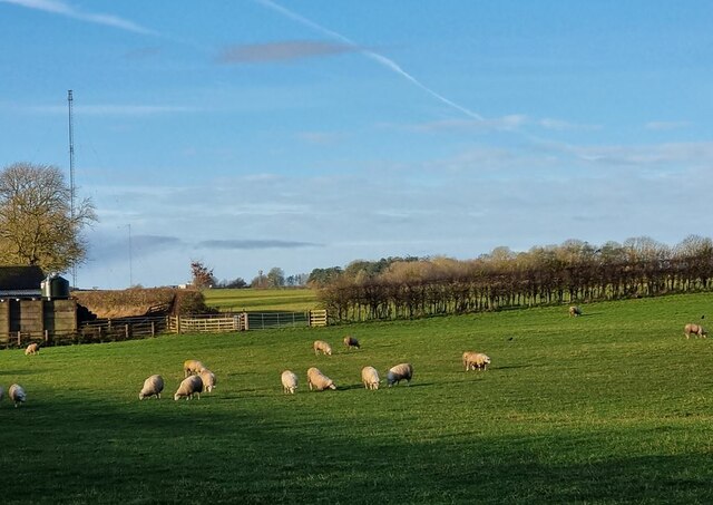
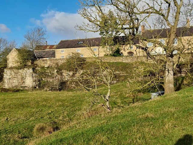
Bower Plantation, located in Northumberland, England, is a captivating woodland forest that covers an extensive area of approximately 100 acres. Situated on the outskirts of the picturesque village of Bower, this plantation is renowned for its breathtaking natural beauty and rich biodiversity.
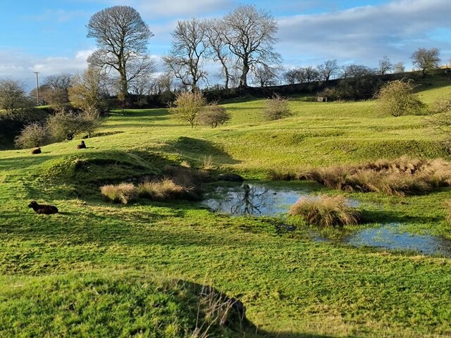
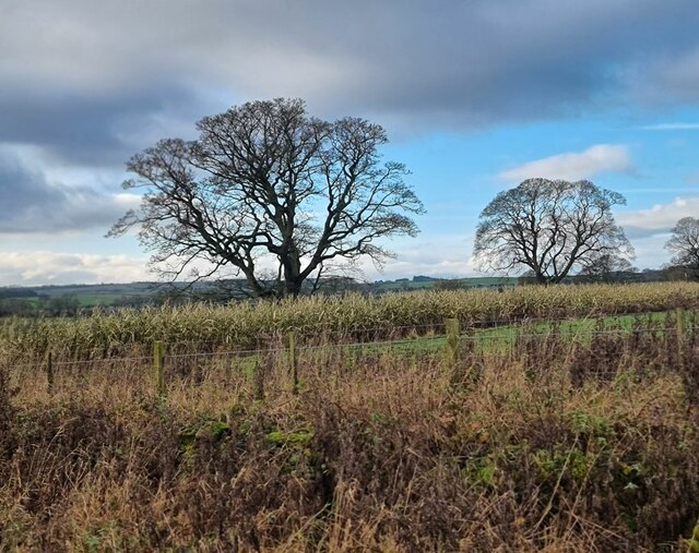
The woodland is predominantly composed of a diverse mix of deciduous and coniferous trees, including oak, beech, pine, and birch, creating a vibrant tapestry of colors throughout the seasons. The lush undergrowth is teeming with an array of flora, such as bluebells, daffodils, and ferns, adding to the enchantment of the forest.
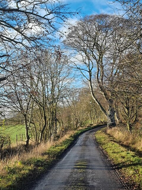
Bower Plantation is a beloved destination for nature enthusiasts and outdoor adventurers alike. It offers a network of well-maintained walking trails that wind through the woodland, allowing visitors to immerse themselves in its tranquility and discover its hidden delights. The paths are suitable for all ages and abilities, making it an accessible destination for families and individuals seeking a peaceful retreat from the hustle and bustle of daily life.
The woodland is also a haven for wildlife, providing a habitat for various species of birds, mammals, and insects. Keen observers may spot red squirrels, roe deer, and a variety of bird species, including woodpeckers and owls.
Bower Plantation is open to the public year-round and offers ample parking facilities. Visitors are advised to respect the natural environment and follow the designated trails to preserve the delicate ecosystem of this stunning Northumberland woodland.
If you have any feedback on the listing, please let us know in the comments section below.
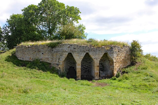
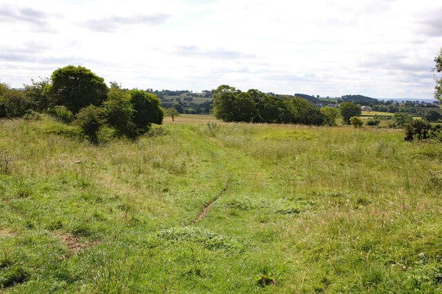
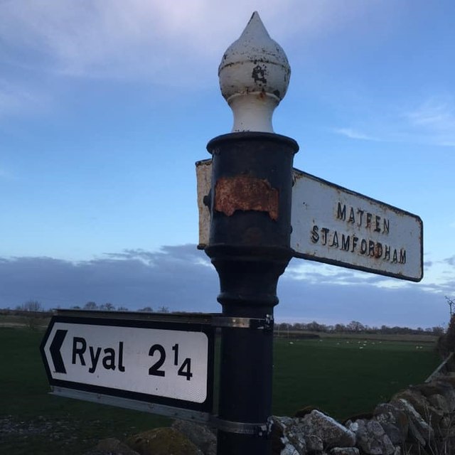
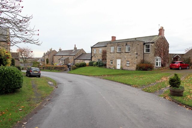
Bower Plantation Images
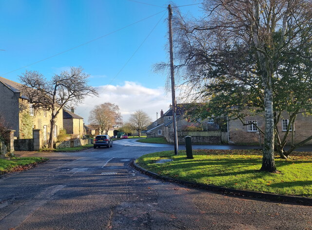
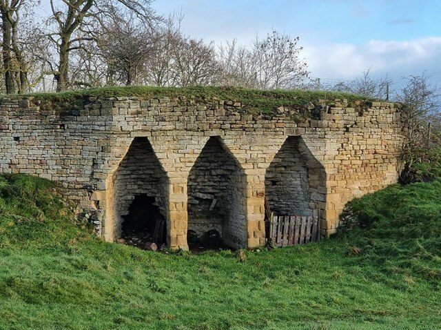
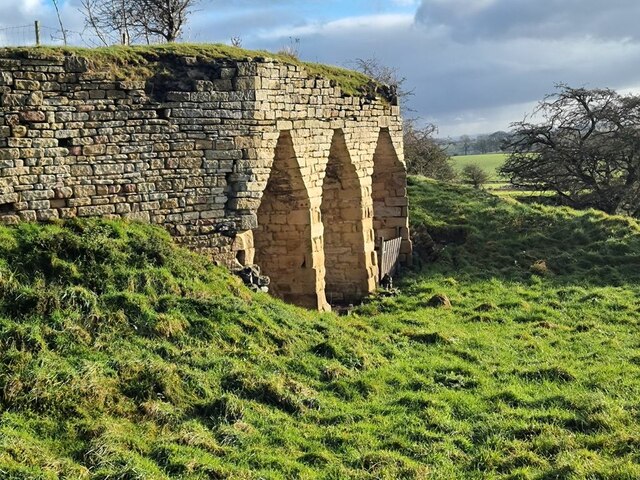
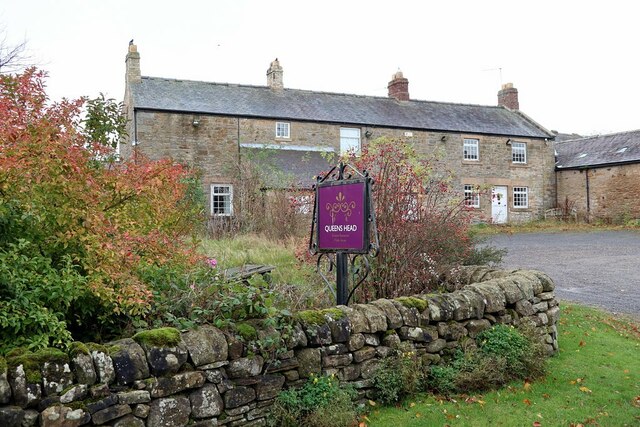
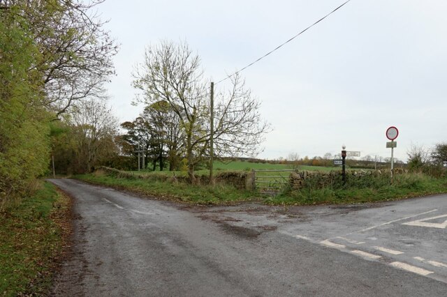
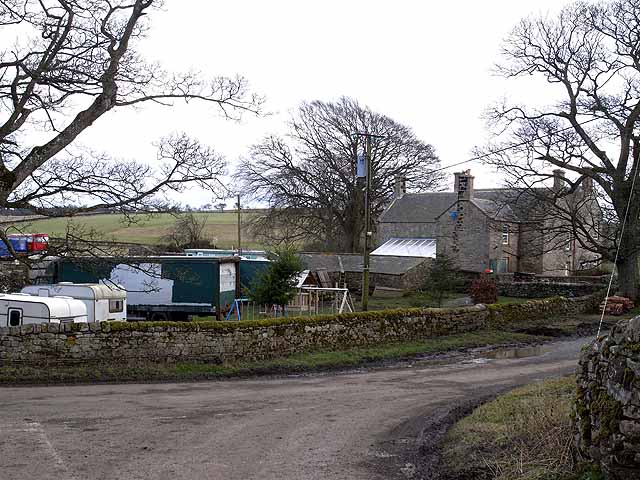
Images are sourced within 2km of 55.034536/-2.018995 or Grid Reference NY9871. Thanks to Geograph Open Source API. All images are credited.
Bower Plantation is located at Grid Ref: NY9871 (Lat: 55.034536, Lng: -2.018995)
Unitary Authority: Northumberland
Police Authority: Northumbria
What 3 Words
///worldwide.mutual.indulgent. Near Corbridge, Northumberland
Nearby Locations
Related Wikis

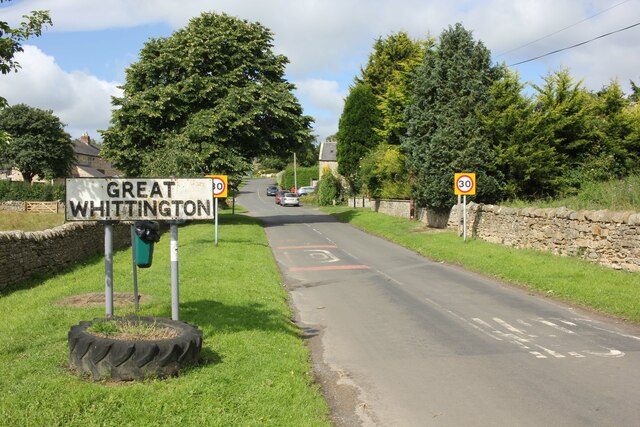
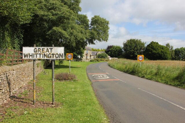
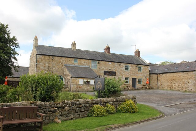
Great Whittington
Great Whittington is a village and former civil parish, now in the parish of Whittington, in Northumberland, England, 7 miles NE of Hexham. In 1951 the...
Bingfield
Bingfield is a village and former civil parish, now in the parish of Whittington, in Northumberland, in England. It is situated to the north of Corbridge...

Portgate
The Portgate was a fortified gateway, constructed as part of Hadrian's Wall where it crossed the Roman road now known as Dere Street, which preceded Hadrian...

Milecastle 22
Milecastle 22 (Portgate) was a milecastle of the Roman Hadrian's Wall. Its remains exist as a low, turf covered platform just east of the Portgate roundabout...
Nearby Amenities
Located within 500m of 55.034536,-2.018995Have you been to Bower Plantation?
Leave your review of Bower Plantation below (or comments, questions and feedback).