Hotburn Plantation

Wood, Forest in Northumberland

England

Hotburn Plantation

Haybales near Ruffside Hall
Haybales near Ruffside Hall Credit: Oliver Dixon

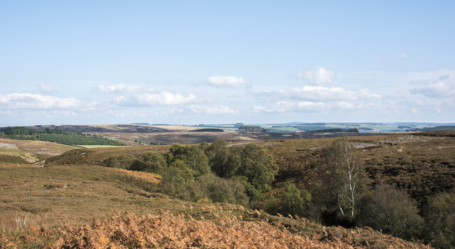
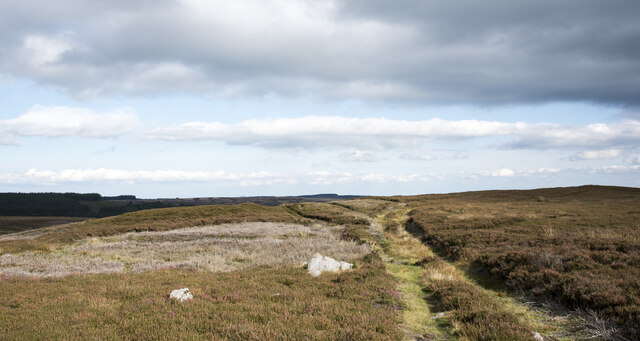
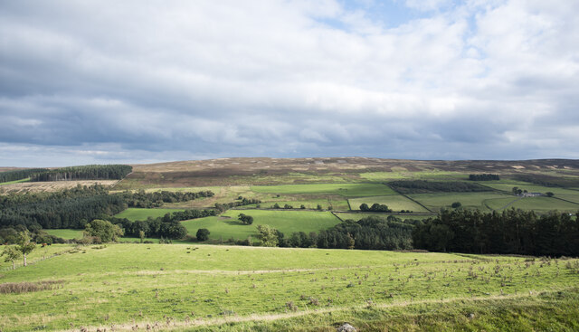
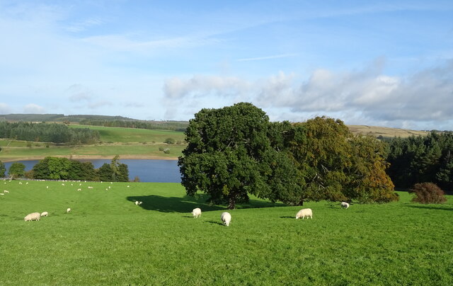
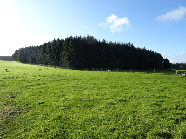
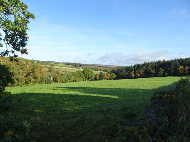
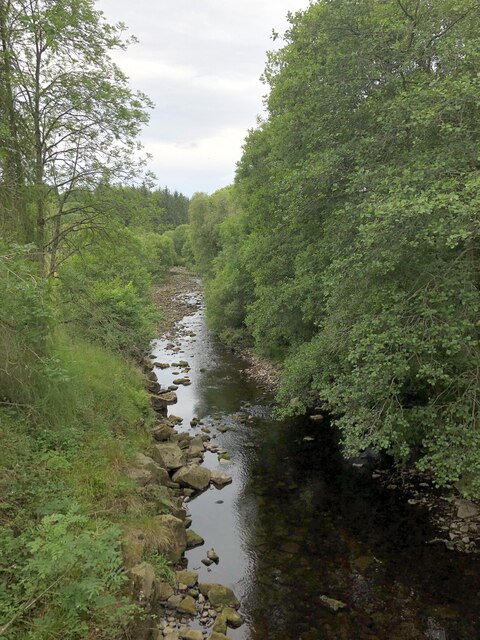
Hotburn Plantation is a picturesque woodland located in the county of Northumberland, England. Covering an area of approximately 300 acres, it is a haven for nature enthusiasts and outdoor enthusiasts alike. The plantation is situated within the wider Northumberland National Park and offers a diverse range of flora and fauna, making it a popular destination for wildlife enthusiasts.

The woodland itself is predominantly made up of native tree species such as oak, birch, and beech, which create a stunning natural backdrop throughout the year. The dense canopy provides a habitat for a variety of bird species, including woodpeckers, owls, and various songbirds. Visitors may also have the opportunity to spot mammals such as deer, foxes, and squirrels.

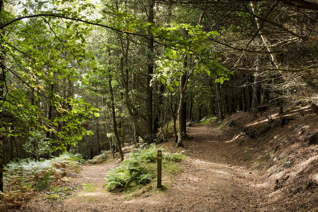
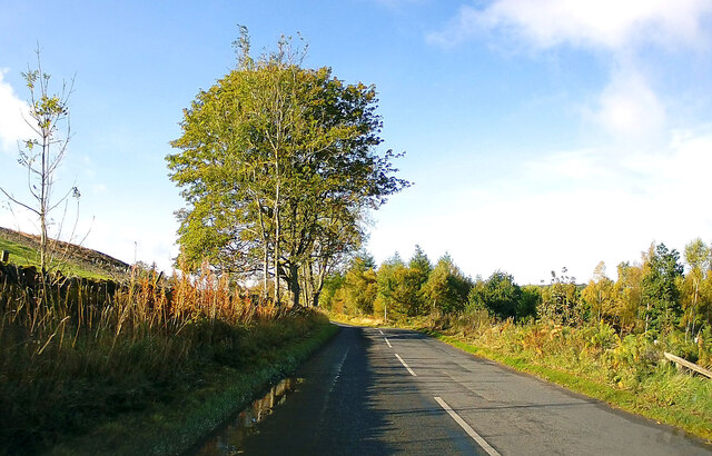
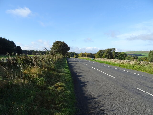
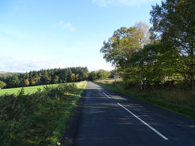
Hotburn Plantation features a network of well-maintained footpaths and trails, allowing visitors to explore the woodland at their own pace. These paths wind through the trees, providing serene and tranquil settings for walkers and hikers. The plantation is also home to a number of picnic areas, offering visitors the chance to relax and enjoy the peaceful surroundings.

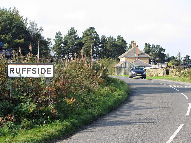
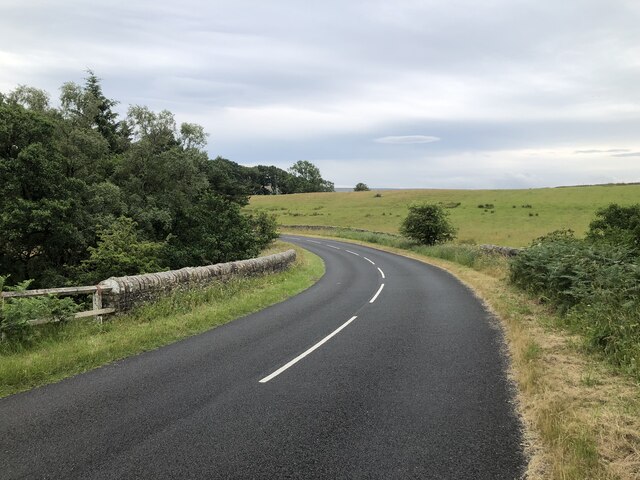
The woodland is easily accessible, with ample parking facilities available nearby. It is located in close proximity to the village of Wood, making it an ideal location for visitors to explore the wider area of Northumberland. Whether you are a nature lover, a keen walker, or simply seeking a peaceful retreat, Hotburn Plantation offers a stunning natural environment that is sure to captivate visitors of all ages.

If you have any feedback on the listing, please let us know in the comments section below.

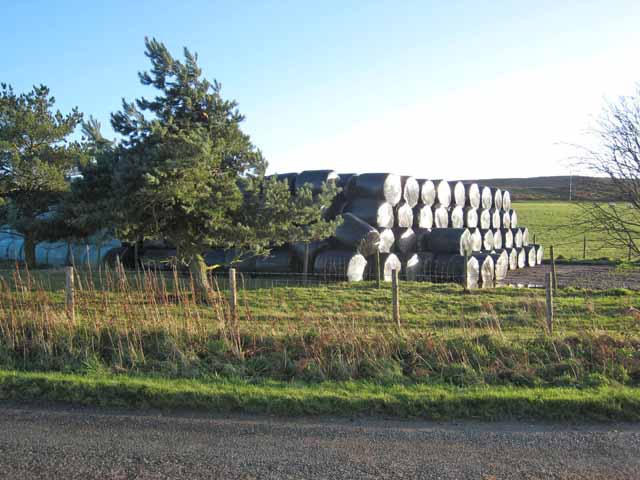
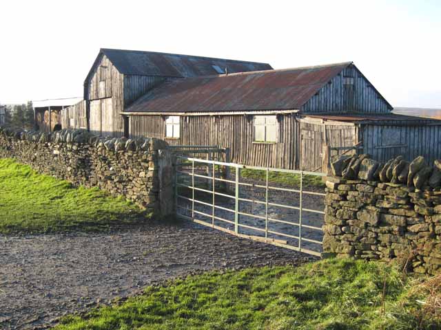
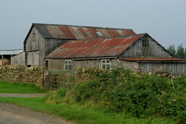
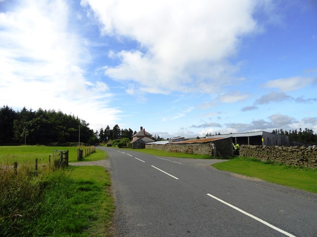
Hotburn Plantation Images

Images are sourced within 2km of 54.859428/-2.0296914 or Grid Reference NY9851. Thanks to Geograph Open Source API. All images are credited.

Haybales near Ruffside Hall
Barn near Ruffside Hall
Ruffside Wooden barns near Ruffside.
Ruffside
Wooden barns near Ruffside.
View of Paradise Farm from the east This farm stands beside the Blanchland to Edmundbyers road, in some lovely countryside south of the Derwent Reservoir. Seems to date from the earlier part of the 20th century.
View of Paradise Farm from the east
This farm stands beside the Blanchland to Edmundbyers road, in some lovely countryside south of the Derwent Reservoir. Seems to date from the earlier part of the 20th century.
Road east of Ruffside Old maps show this named as 'Roughside'.
Road east of Ruffside
Old maps show this named as 'Roughside'.
Path junction in High Banks Plantation A path has descended from the B6306 to fork at this location in woodland close to Blanchland. The image was made a little over ten years after an earlier one of the same scene: little has changed! <a title="https://www.geograph.org.uk/photo/2475487" href="https://www.geograph.org.uk/photo/2475487">Link</a>
Path junction in High Banks Plantation
A path has descended from the B6306 to fork at this location in woodland close to Blanchland. The image was made a little over ten years after an earlier one of the same scene: little has changed! Link
Tree tops showing in valley of Potter Burn Potter Burn is a stream of little note draining Blanchland Moor, but the short stretch in view where Ravens Crags are located is quite incised with the sides broken by rock exposures.
Tree tops showing in valley of Potter Burn
Potter Burn is a stream of little note draining Blanchland Moor, but the short stretch in view where Ravens Crags are located is quite incised with the sides broken by rock exposures.
Track crossing heather moor on Dean Rigg Dean Rigg is a minor ridge of ground on Cowbyers Moor to the south of Potter Burn; the estate road or track follows the ridge before moving to the north side of Acton Dean.
Track crossing heather moor on Dean Rigg
Dean Rigg is a minor ridge of ground on Cowbyers Moor to the south of Potter Burn; the estate road or track follows the ridge before moving to the north side of Acton Dean.
Field on east side of B6306 The field descends towards the River Derwent south-west of the Derwent Reservoir.
The ground beyond the valley rises to the moorland of Bainbridge Hill and Ruffside Moor.
Field on east side of B6306
The field descends towards the River Derwent south-west of the Derwent Reservoir. The ground beyond the valley rises to the moorland of Bainbridge Hill and Ruffside Moor.
B6306 towards Blanchland
Sheep grazing, Derwentdale Towards Derwent Reservoir.
Sheep grazing, Derwentdale
Towards Derwent Reservoir.
B6306, Derwentdale Towards Blanchland.
B6306, Derwentdale
Towards Blanchland.
Plantation, Derwentdale
Grazing, Derwentdale
B6306, Derwentdale Towards Edmundbyers.
B6306, Derwentdale
Towards Edmundbyers.
Ruffside Housing at the hamlet of Ruffside, redeveloped from farm buildings, seen here prior to re-development in this 2006 image by Oliver Dixon: <a href="https://www.geograph.org.uk/photo/282236">NY9951 : Ruffside</a>
Ruffside
Housing at the hamlet of Ruffside, redeveloped from farm buildings, seen here prior to re-development in this 2006 image by Oliver Dixon: NY9951 : Ruffside
River Derwent above Derwent Reservoir
Minor road crossing beck at Tod Hill
Show me another place!

Hotburn Plantation is located at Grid Ref: NY9851 (Lat: 54.859428, Lng: -2.0296914)

Unitary Authority: Northumberland

Police Authority: Northumbria

What 3 Words

///stoops.nitrate.obstinate. Near Slaley, Northumberland

Related Wikis

Blanchland Abbey

Blanchland Abbey at Blanchland, in the English county of Northumberland, was founded as a premonstratensian priory in 1165 by Walter de Bolbec II, and...

Blanchland

Blanchland is a village in Northumberland, England, on the County Durham boundary. The population of the civil parish at the 2011 census was 135.Set beside...

Pow Hill Bog

Pow Hill Bog is a Site of Special Scientific Interest in the Wear Valley district of County Durham, England. It lies alongside Derwent Reservoir, approximately...

Baybridge, Northumberland

Baybridge is a small village in Northumberland, England, just to the west of Blanchland and on the border with County Durham. It is situated to the west...

Derwent Reservoir (North East England)

The Derwent Reservoir is a reservoir on the River Derwent, on the border between County Durham and Northumberland, in England. It is west of Consett. It...

Hunstanworth

Hunstanworth is a village in County Durham, England. It is situated approximately 10 miles to the west of Consett, south-west of the village of Blanchland...

Edmundbyers

Edmundbyers is a village in County Durham, in England. It is situated a few miles to the west of Consett, near Derwent Reservoir. In 2001 it had a population...

Colpitts Grange

Colpitts Grange is a hamlet in Northumberland, England. It is about 7 miles (11 km) to the south-east of Hexham. == Governance == Colpitts Grange is in...

Nearby Amenities

Located within 500m of 54.859428,-2.0296914
The data included in this document is from www.openstreetmap.org. The data is made available under ODbL.

Have you been to Hotburn Plantation?

Leave your review of Hotburn Plantation below (or comments, questions and feedback).