Bromsley Wood
Wood, Forest in Gloucestershire Cotswold
England
Bromsley Wood

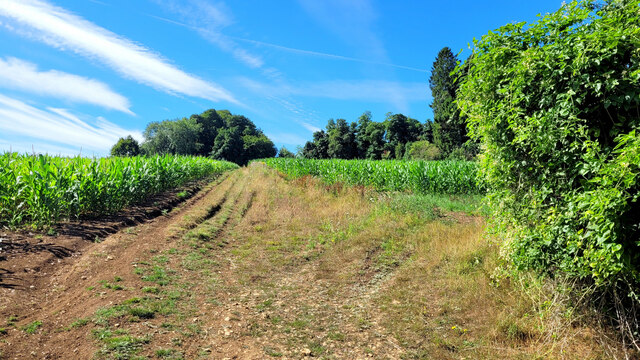
Bromsley Wood is a picturesque forest located in the county of Gloucestershire, England. Nestled amidst the stunning countryside, this woodland covers an area of approximately 100 hectares and is a popular destination for nature enthusiasts and hikers alike.
The forest boasts a diverse range of flora and fauna, providing a haven for wildlife. Visitors can expect to encounter various species of trees, including oak, beech, and birch, which form a dense canopy, creating a tranquil and shaded environment. Bluebells, wild garlic, and ferns carpet the forest floor during the spring, adding to its natural beauty.
Bromsley Wood offers a network of well-maintained walking trails, allowing visitors to explore the forest at their own pace. These trails are suitable for all levels of fitness and provide an opportunity to discover hidden gems within the woodland, such as ancient trees, peaceful ponds, and meandering streams.
The forest also holds historical significance, with remnants of ironworks and charcoal kilns scattered throughout the area. These remnants serve as a reminder of the forest's industrial past.
Additionally, Bromsley Wood provides a habitat for a variety of wildlife, including deer, badgers, foxes, and a multitude of bird species. Birdwatchers can enjoy spotting woodpeckers, owls, and various songbirds in their natural habitat.
Overall, Bromsley Wood offers a serene and enchanting escape from the hustle and bustle of everyday life, allowing visitors to immerse themselves in the beauty of nature and experience the tranquility of a true English woodland.
If you have any feedback on the listing, please let us know in the comments section below.
Bromsley Wood Images
Images are sourced within 2km of 51.795442/-2.027648 or Grid Reference SO9810. Thanks to Geograph Open Source API. All images are credited.


Bromsley Wood is located at Grid Ref: SO9810 (Lat: 51.795442, Lng: -2.027648)
Administrative County: Gloucestershire
District: Cotswold
Police Authority: Gloucestershire
What 3 Words
///inviting.homing.suits. Near Stratton, Gloucestershire
Nearby Locations
Related Wikis
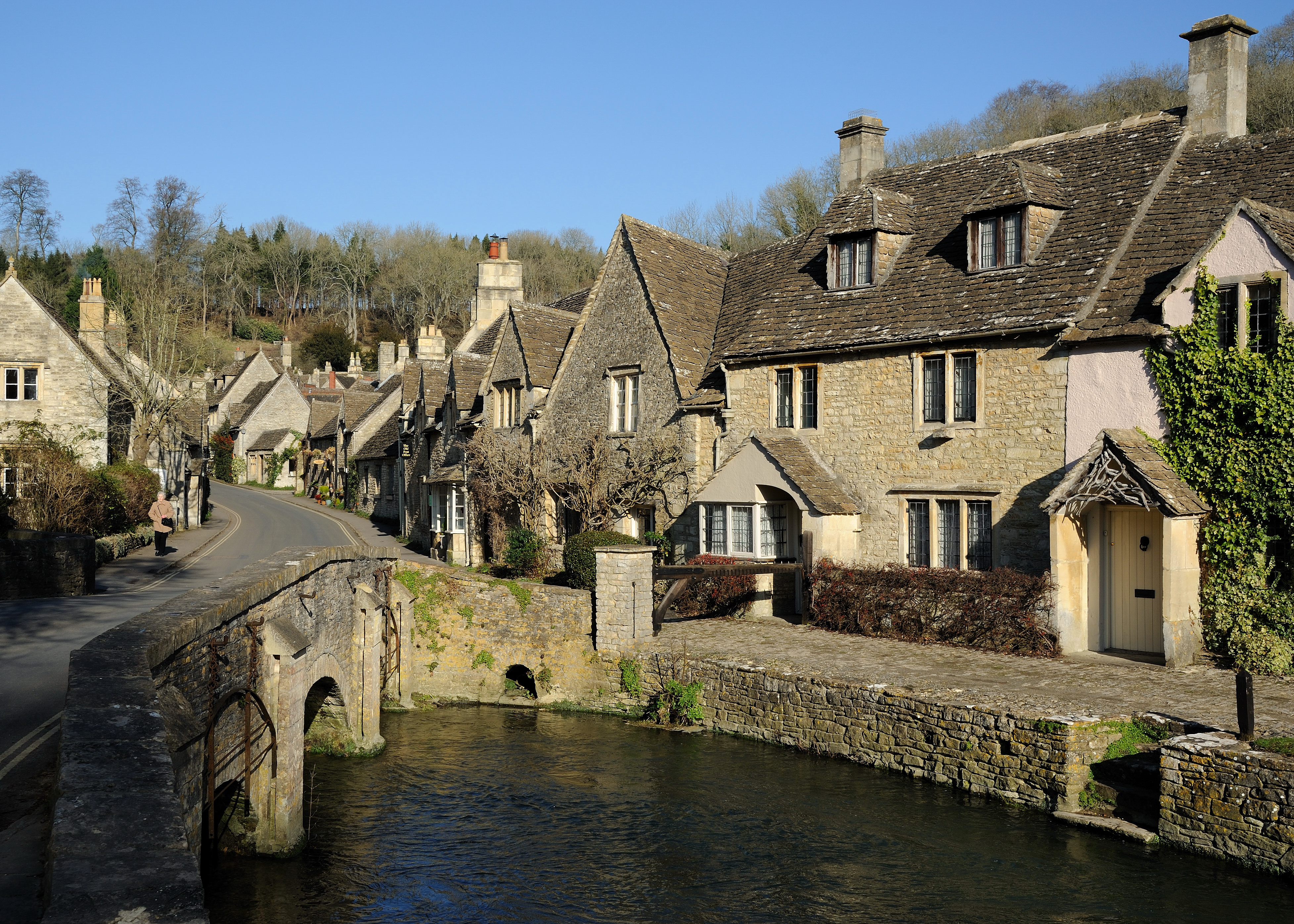
Cotswolds
The Cotswolds ( KOTS-wohldz, KOTS-wəldz) is a region in central-southwest England, along a range of rolling hills that rise from the meadows of the upper...

Five Mile House, Duntisbourne Abbots
The Five Mile House is a former pub on Old Gloucester Road, Duntisbourne Abbots, Gloucestershire, England. It was built in the 17th century and is grade...

Cotswold Hills Geopark
A swathe of the Cotswold Hills almost 60 miles long has been proposed as the Cotswold Hills Geopark. The Geopark project offers educational resources on...

Elkstone
Elkstone is a village and civil parish in the English county of Gloucestershire. In the 2001 United Kingdom census, the parish had a population of 203...

Church of St John the Evangelist, Elkstone
The Anglican Church of St John the Evangelist at Elkstone in the Cotswold District of Gloucestershire, England was built in the 12th century. It is a grade...

Church of St Bartholomew, Winstone
The Anglican Church of St Bartholomew at Winstone in the Cotswold District of Gloucestershire, England was built in the 11th century. It is a grade I listed...
Winstone
Winstone is a village and civil parish in the English county of Gloucestershire. The population taken at the 2011 census was 270.Winstone forms part of...

Cockleford Marsh
Cockleford Marsh (grid reference SO977133) is a 3.2-hectare (7.9-acre) biological Site of Special Scientific Interest in Gloucestershire, notified in 1991...
Nearby Amenities
Located within 500m of 51.795442,-2.027648Have you been to Bromsley Wood?
Leave your review of Bromsley Wood below (or comments, questions and feedback).