Winterbottom Clump
Wood, Forest in Gloucestershire Tewkesbury
England
Winterbottom Clump
Winterbottom Clump is a picturesque woodland area located in Gloucestershire, England. Situated in the heart of the Forest of Dean, it covers an area of approximately 20 acres and is a popular destination for nature enthusiasts and outdoor enthusiasts alike.
The clump is predominantly composed of oak, beech, and birch trees, which create a dense and vibrant canopy, especially during the summer months. The woodland floor is adorned with a variety of wildflowers, including bluebells and primroses, adding a splash of color to the landscape.
Traversing through Winterbottom Clump is a network of well-maintained footpaths, allowing visitors to explore the woodland and enjoy its natural beauty. These paths wind through the trees, offering glimpses of wildlife such as squirrels and various bird species.
The clump is also home to a small stream that meanders through the woodland, providing a serene and tranquil ambiance. The sound of running water adds to the overall sensory experience, making it an ideal spot for relaxation and contemplation.
Due to its location in the Forest of Dean, Winterbottom Clump is surrounded by a rich history and cultural heritage. It is believed that the area has been woodland for thousands of years, and it has been carefully managed to preserve its natural charm and biodiversity.
Overall, Winterbottom Clump is a delightful destination for those seeking a peaceful and immersive woodland experience. With its diverse flora and fauna, well-maintained footpaths, and tranquil atmosphere, it offers a serene retreat from the hustle and bustle of everyday life.
If you have any feedback on the listing, please let us know in the comments section below.
Winterbottom Clump Images
Images are sourced within 2km of 51.938145/-2.0277947 or Grid Reference SO9826. Thanks to Geograph Open Source API. All images are credited.
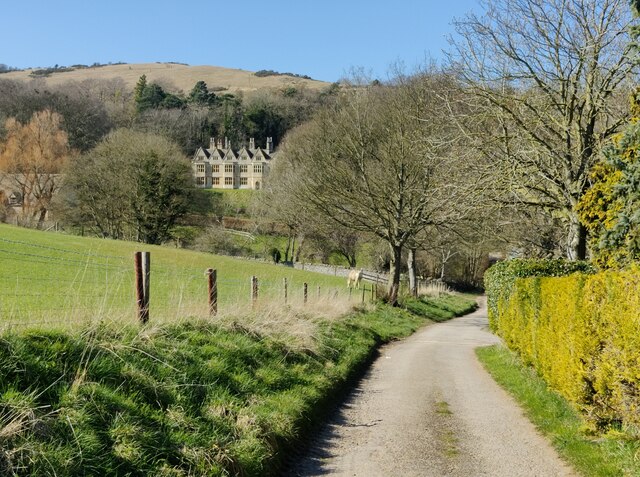
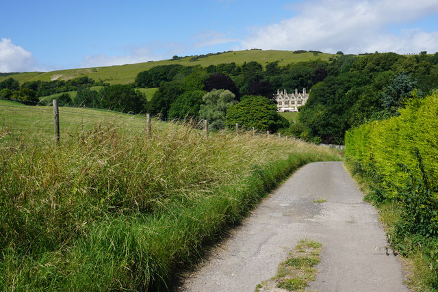
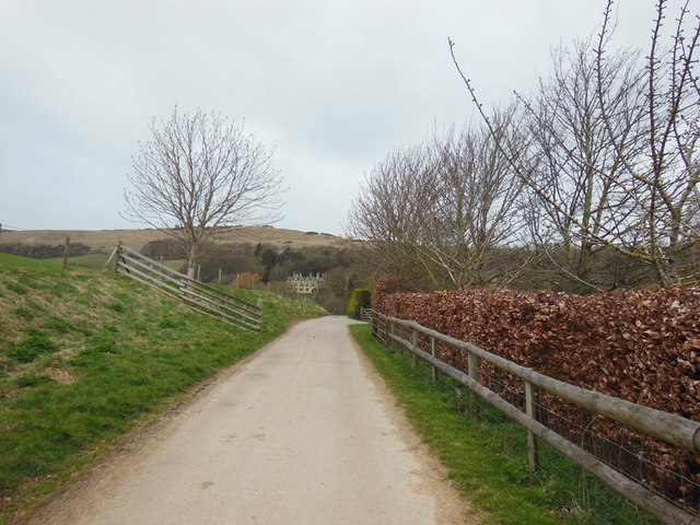
![Postlip Hall Farm [1] The entrance to the farmhouse from the drive, a public bridleway and part of the Cotswold Way. The farm offers bed and breakfast accommodation.](https://s1.geograph.org.uk/geophotos/02/53/00/2530041_39906998.jpg)


Winterbottom Clump is located at Grid Ref: SO9826 (Lat: 51.938145, Lng: -2.0277947)
Administrative County: Gloucestershire
District: Tewkesbury
Police Authority: Gloucestershire
What 3 Words
///truffles.shuttled.organisms. Near Bishops Cleeve, Gloucestershire
Nearby Locations
Related Wikis
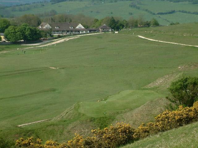
Cleeve Common
Cleeve Common (grid reference SO990260) is a 455-hectare (1,120-acre) biological and geological Site of Special Scientific Interest in Gloucestershire...
Woodmancote, Tewkesbury Borough
Woodmancote is a village and civil parish in Gloucestershire, England. The parish lies immediately east of Bishop's Cleeve; the village is about 3+1⁄2...
Southam, Gloucestershire
Southam is a village in Gloucestershire, England, located on the outskirts of Cheltenham. Its main features are a Manor House, which has now been converted...

Bishops Cleeve railway station
Bishop's Cleeve railway station was a railway station that served the village of Bishop's Cleeve in Gloucestershire, England. It was opened by the Great...

Cleeve School
Cleeve School is an academy school and Leadership Partner School. It was formerly a comprehensive school and is located in the village of Bishop's Cleeve...
Bishop's Cleeve F.C.
Bishop's Cleeve Football Club is a semi-professional football club based in Bishop's Cleeve, near Cheltenham, Gloucestershire, England. They are currently...

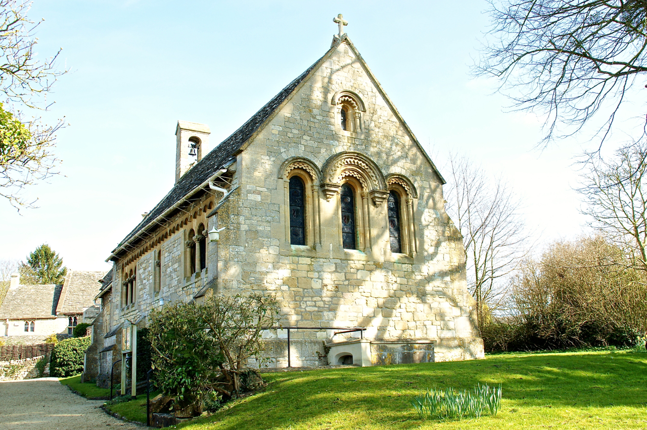
St Michael & All Angels Church, Bishop's Cleeve
St Michael & All Angels is the Anglican church in the village of Bishop's Cleeve, just north of Cheltenham in Gloucestershire. Informally the church is...
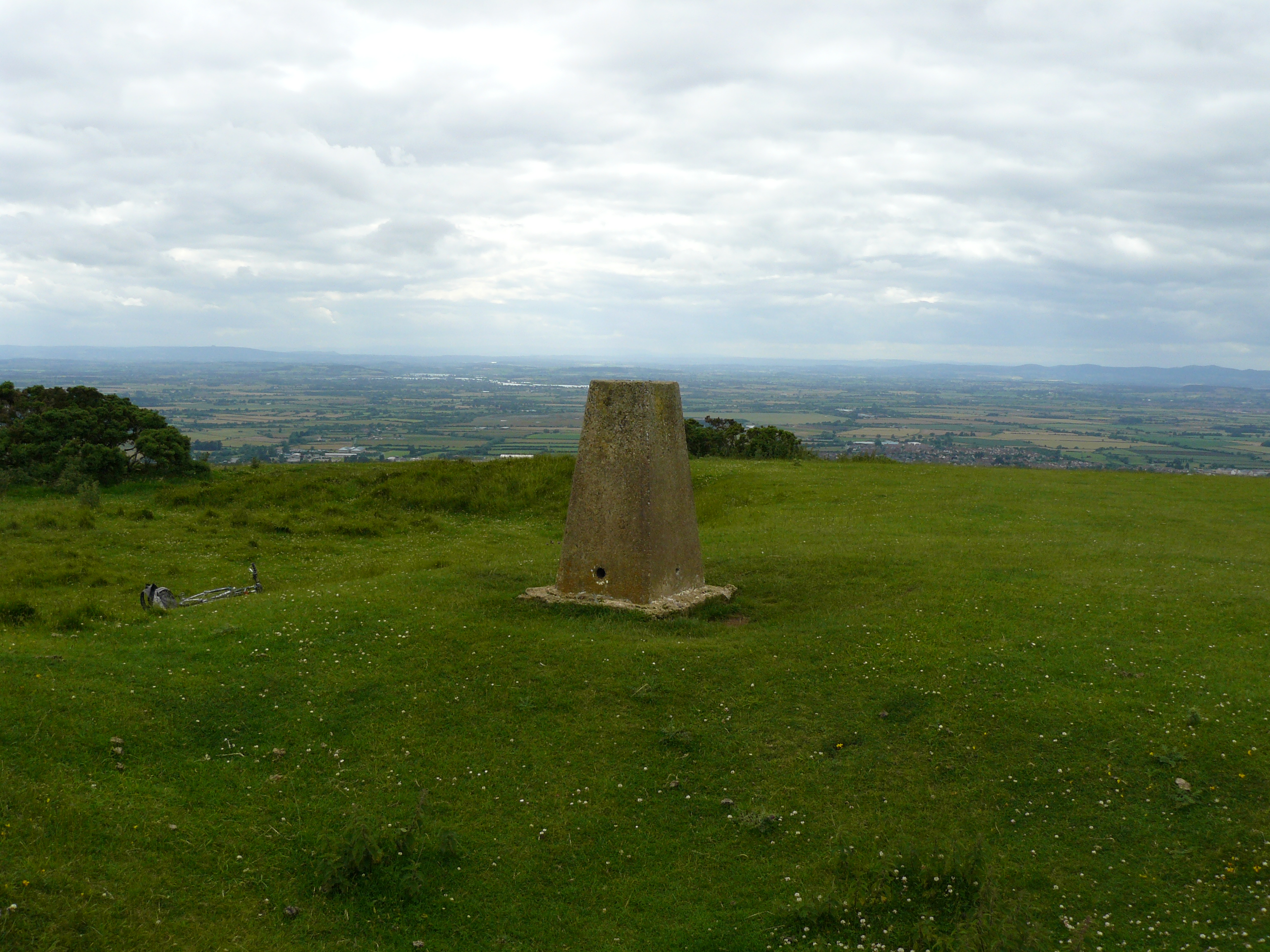
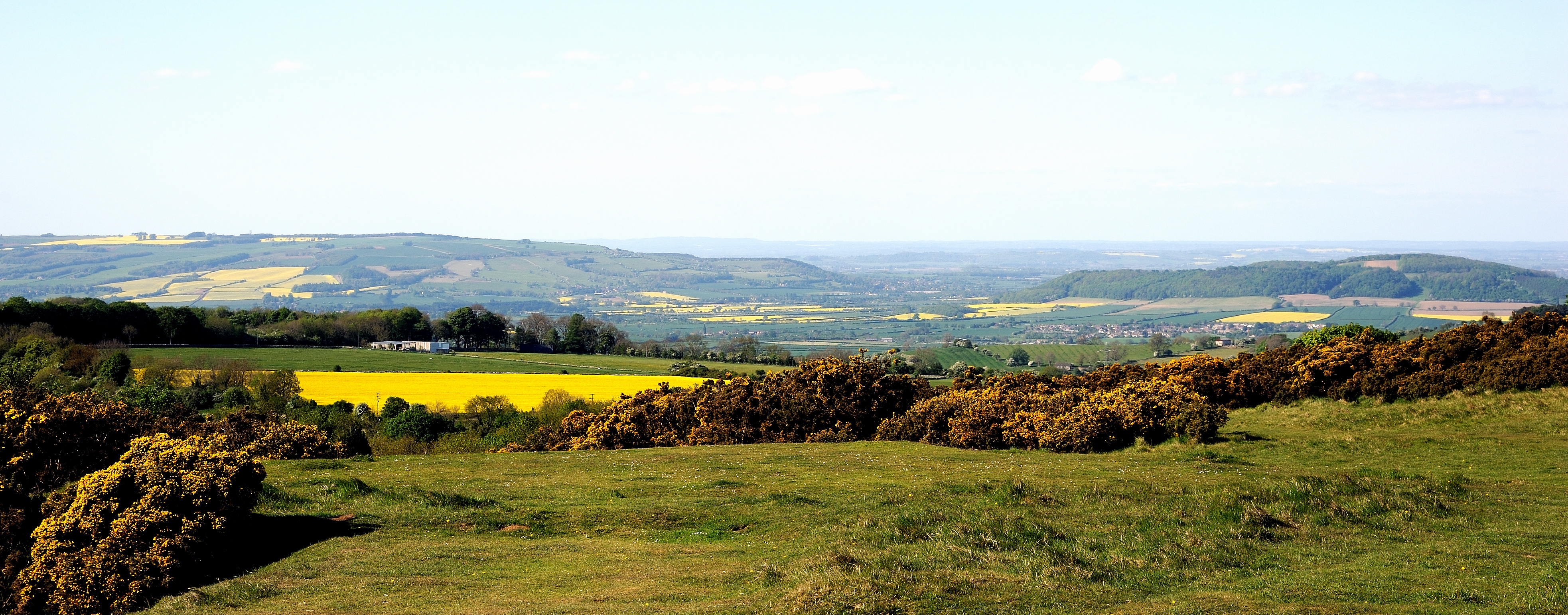
Cleeve Hill, Gloucestershire
Cleeve Hill (also known as Cleeve Cloud) is the highest point both of the Cotswolds hill range and of the county of Gloucestershire, at 330 m (1,080 ft...
Nearby Amenities
Located within 500m of 51.938145,-2.0277947Have you been to Winterbottom Clump?
Leave your review of Winterbottom Clump below (or comments, questions and feedback).