Coronation Clump
Wood, Forest in Gloucestershire Tewkesbury
England
Coronation Clump
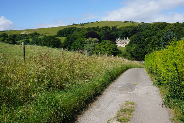
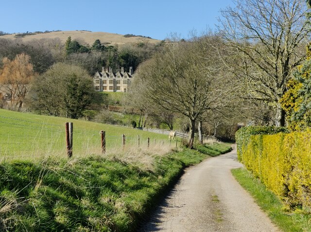
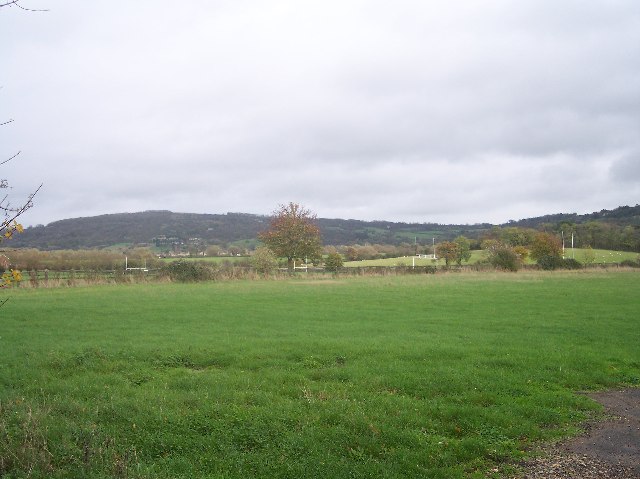
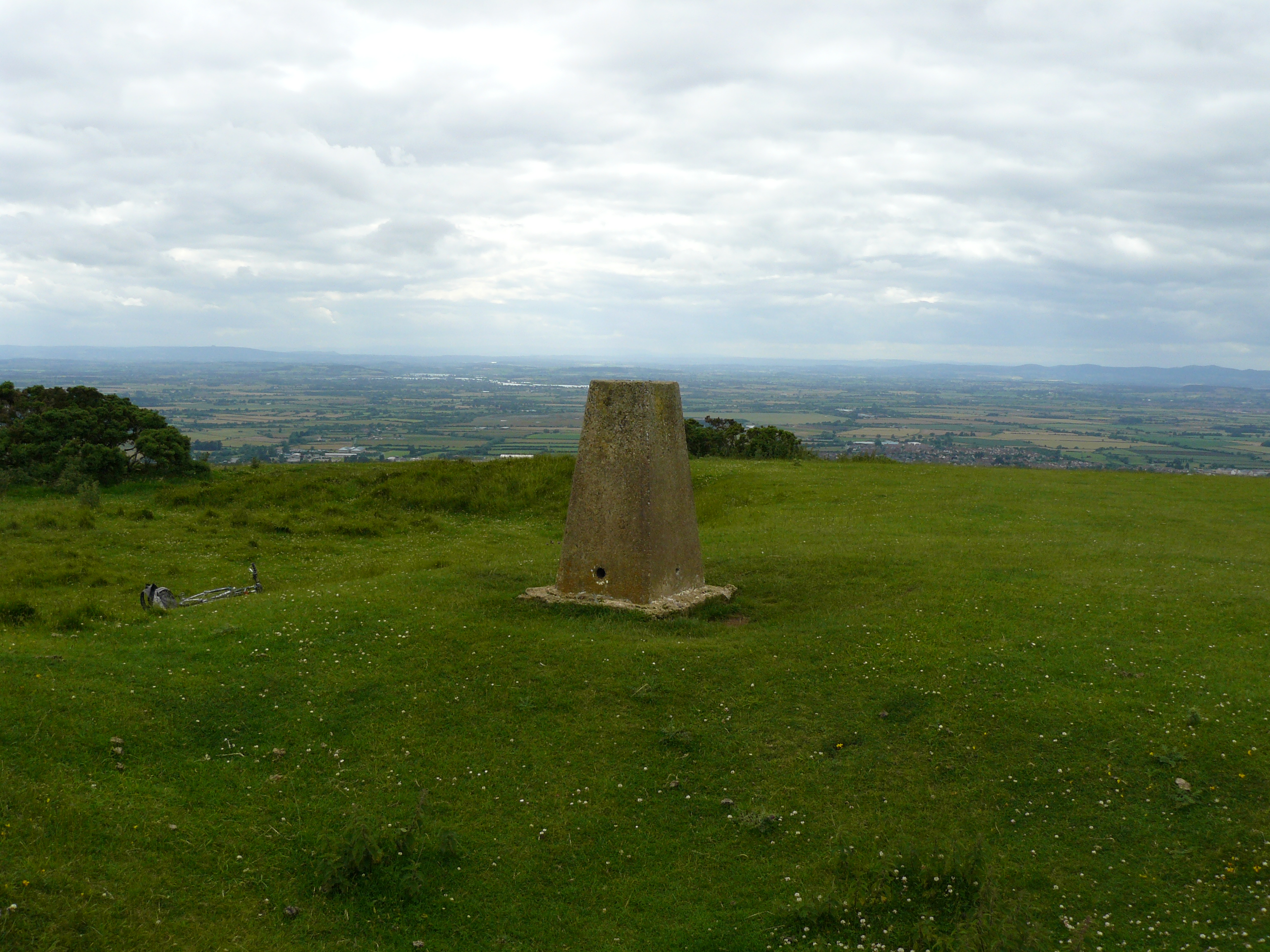
Coronation Clump is a small woodland area located in the county of Gloucestershire, England. Situated within the larger forested region of the county, it is known for its natural beauty and tranquil atmosphere. The clump itself is made up of a variety of trees, including oak, beech, and birch, which create a dense canopy overhead.
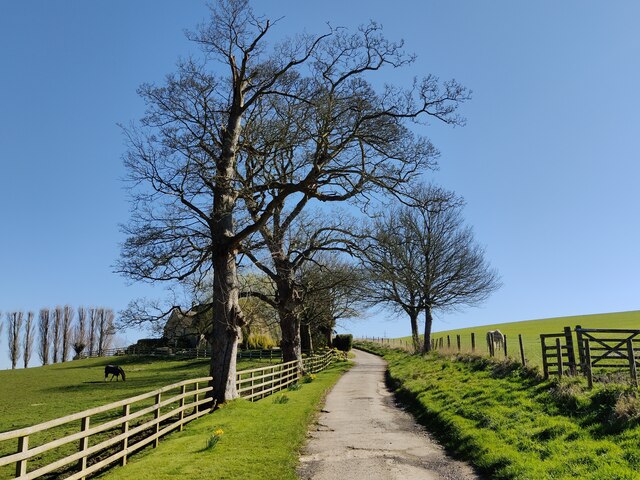
Covering an area of approximately 10 acres, Coronation Clump is a popular destination for nature enthusiasts and walkers alike. The woodland is crisscrossed by several well-maintained footpaths, allowing visitors to explore the area and take in its scenic surroundings. As visitors traverse the trails, they may come across a diverse range of flora and fauna, including bluebells, wild garlic, and various bird species.
The name "Coronation Clump" is said to have originated from a historic event. Legend has it that a group of locals planted the trees in celebration of the coronation of Queen Elizabeth II in 1953. Since then, the clump has become a cherished part of the local community and serves as a reminder of this significant moment in British history.
Coronation Clump provides a peaceful retreat from the hustle and bustle of everyday life. It is a place where visitors can immerse themselves in the serenity of nature, enjoying the sights and sounds of the woodland. Whether one seeks solitude or a leisurely stroll, Coronation Clump offers a delightful experience for all who venture into its leafy embrace.
If you have any feedback on the listing, please let us know in the comments section below.
Coronation Clump Images
Images are sourced within 2km of 51.938838/-2.0268205 or Grid Reference SO9826. Thanks to Geograph Open Source API. All images are credited.
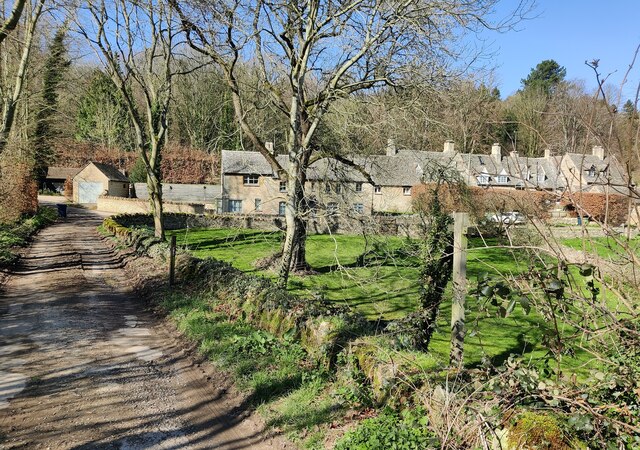
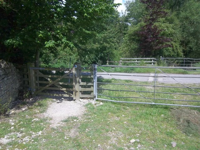
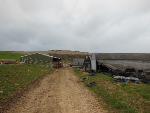
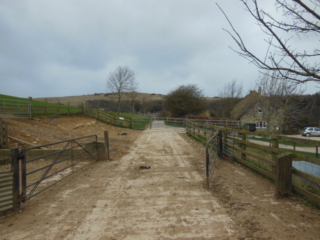
![Postlip Hall Farm [1] The entrance to the farmhouse from the drive, a public bridleway and part of the Cotswold Way. The farm offers bed and breakfast accommodation.](https://s1.geograph.org.uk/geophotos/02/53/00/2530041_39906998.jpg)
![Postlip Hall Farm [2] The animal pens of the farm stretch across the driveway, a public bridleway and part of the Cotswold Way. An alternative route, through the gate to the right and along the edge of the field is signed for when the pens are in use.](https://s2.geograph.org.uk/geophotos/02/53/00/2530046_884d8a33.jpg)


Coronation Clump is located at Grid Ref: SO9826 (Lat: 51.938838, Lng: -2.0268205)
Administrative County: Gloucestershire
District: Tewkesbury
Police Authority: Gloucestershire
What 3 Words
///necks.later.recur. Near Bishops Cleeve, Gloucestershire
Nearby Locations
Related Wikis
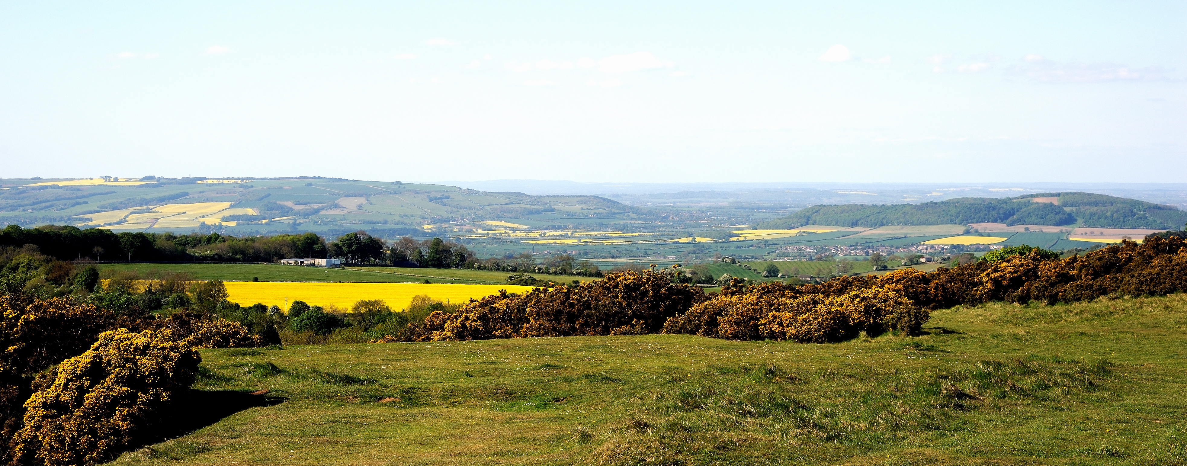
Cleeve Common
Cleeve Common (grid reference SO990260) is a 455-hectare (1,120-acre) biological and geological Site of Special Scientific Interest in Gloucestershire...
Woodmancote, Tewkesbury Borough
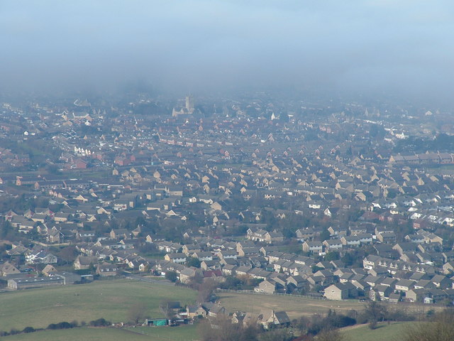
Woodmancote is a village and civil parish in Gloucestershire, England. The parish lies immediately east of Bishop's Cleeve; the village is about 3+1⁄2...
Southam, Gloucestershire
Southam is a village in Gloucestershire, England, located on the outskirts of Cheltenham. Its main features are a Manor House, which has now been converted...

Bishops Cleeve railway station
Bishop's Cleeve railway station was a railway station that served the village of Bishop's Cleeve in Gloucestershire, England. It was opened by the Great...

Cleeve School
Cleeve School is an academy school and Leadership Partner School. It was formerly a comprehensive school and is located in the village of Bishop's Cleeve...
Bishop's Cleeve F.C.
Bishop's Cleeve Football Club is a semi-professional football club based in Bishop's Cleeve, near Cheltenham, Gloucestershire, England. They are currently...

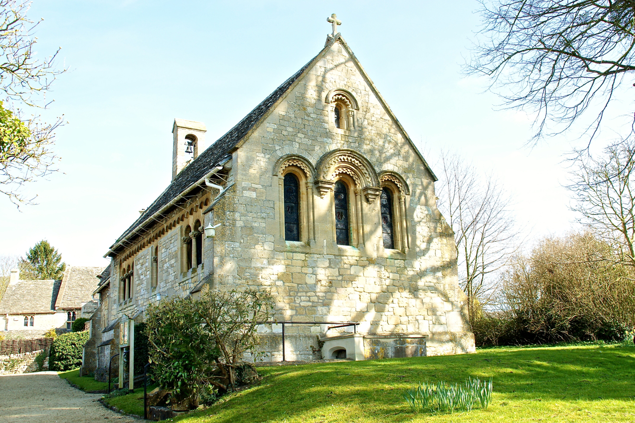
St Michael & All Angels Church, Bishop's Cleeve
St Michael & All Angels is the Anglican church in the village of Bishop's Cleeve, just north of Cheltenham in Gloucestershire. Informally the church is...
Cleeve Hill, Gloucestershire
Cleeve Hill (also known as Cleeve Cloud) is the highest point both of the Cotswolds hill range and of the county of Gloucestershire, at 330 m (1,080 ft...
Nearby Amenities
Located within 500m of 51.938838,-2.0268205Have you been to Coronation Clump?
Leave your review of Coronation Clump below (or comments, questions and feedback).