The Ring

Heritage SIte in Gloucestershire Tewkesbury

England

The Ring

Sheep by Postlip Hall Farm Unperturbed by the bonfire behind. The hillside slopes down towards Winchcombe.
Sheep by Postlip Hall Farm Credit: Bill Boaden

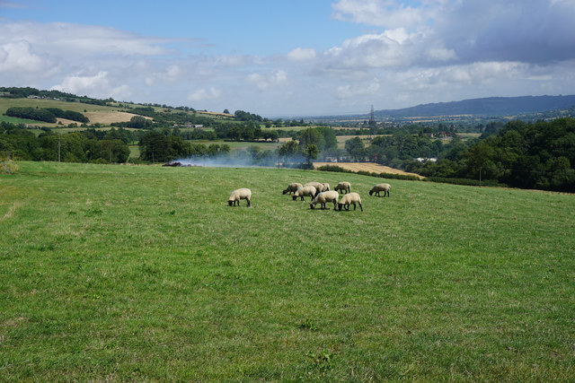
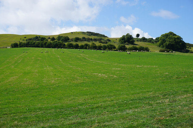
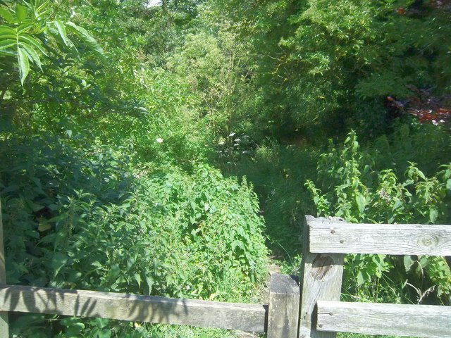
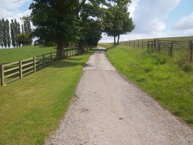
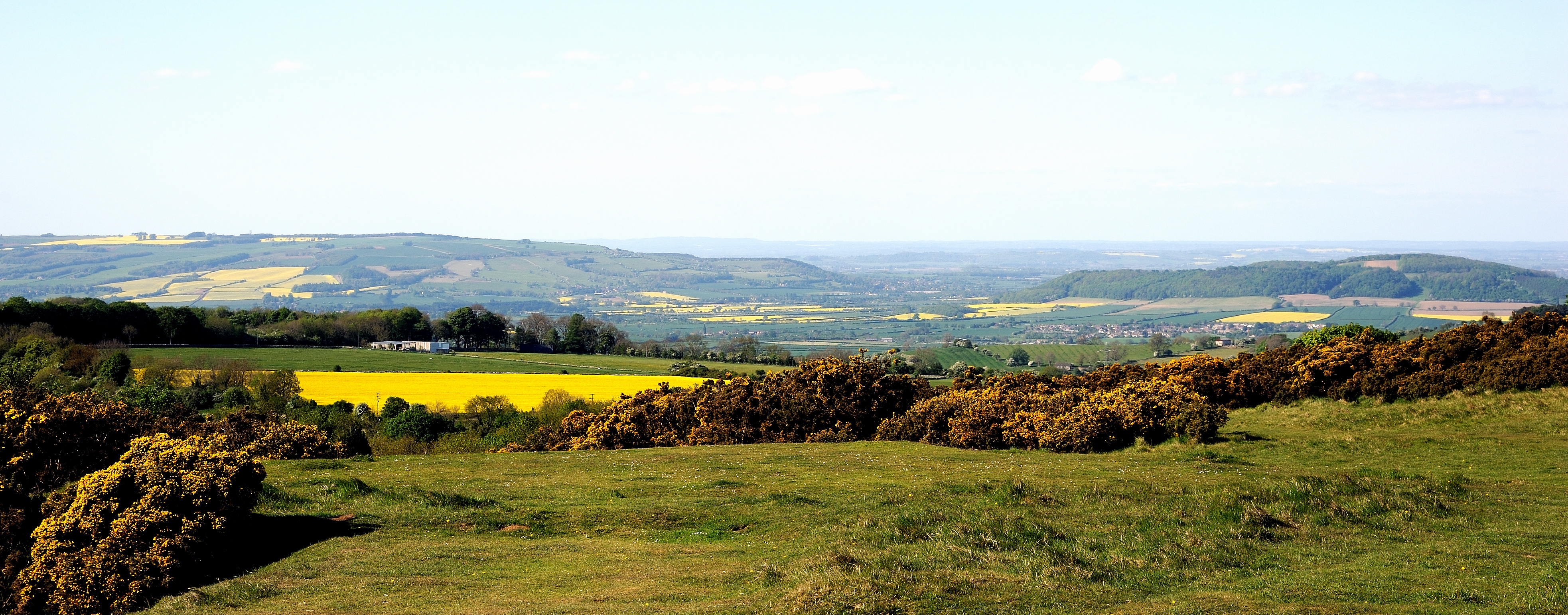
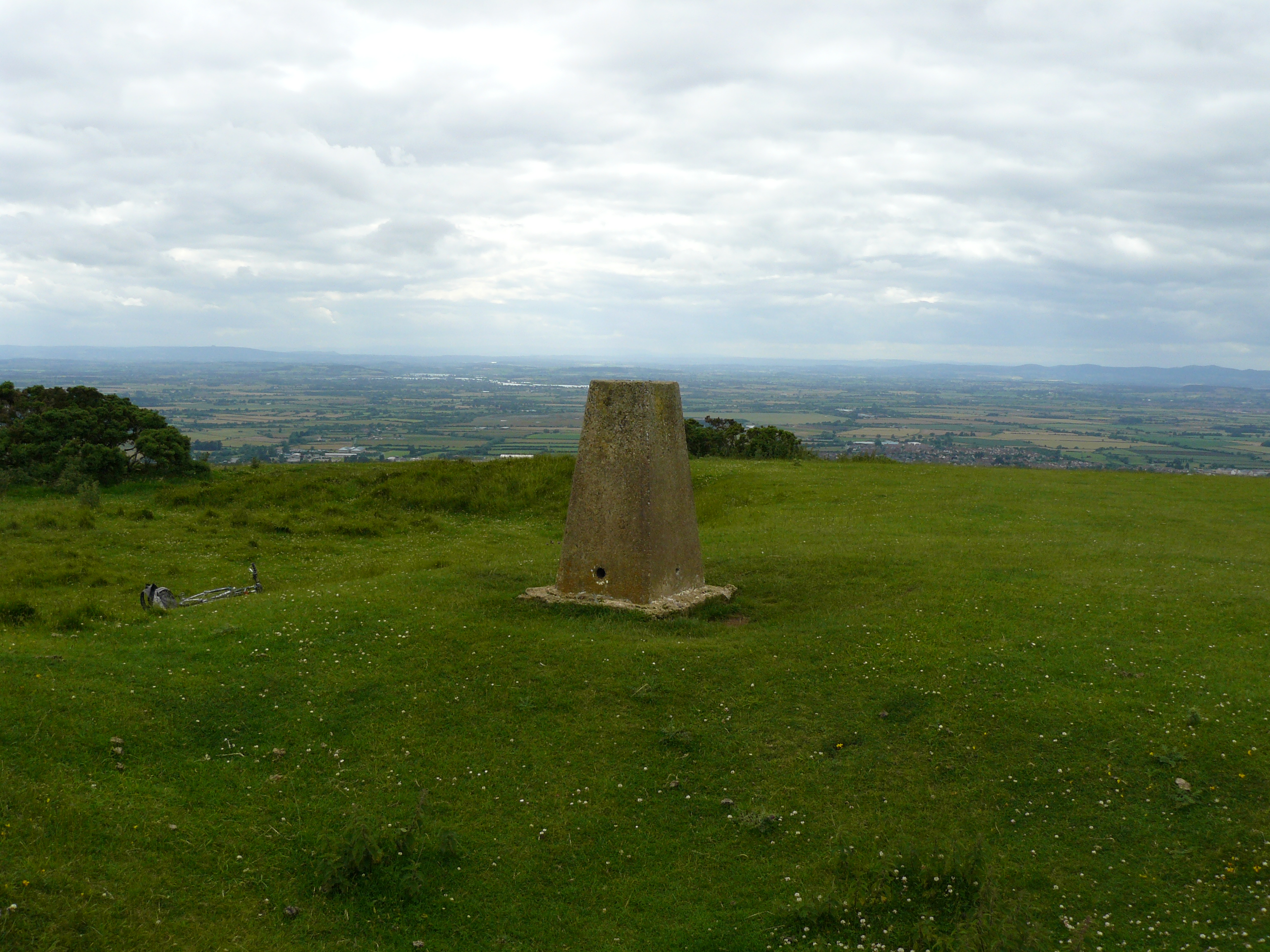
The Ring, located in Gloucestershire, England, is a historically significant site that dates back to the Neolithic period, making it one of the oldest heritage sites in the region. This ancient earthwork enclosure is situated on a gently sloping hillside, providing breathtaking panoramic views of the surrounding countryside.

The Ring is believed to have been constructed around 2500 BC and covers an area of approximately 4 acres. The site consists of a circular ditch and bank, with the ditch being the outermost feature and the bank forming the inner boundary. The ditch is around 8 meters wide and 1 meter deep, while the bank measures approximately 20 meters in width.

Archaeological excavations conducted at The Ring have revealed a wealth of artifacts and evidence of human activity, including pottery fragments, flint tools, and animal bones. These findings suggest that the site was likely used as a settlement during the Neolithic period, possibly serving as a communal gathering place for the local community.

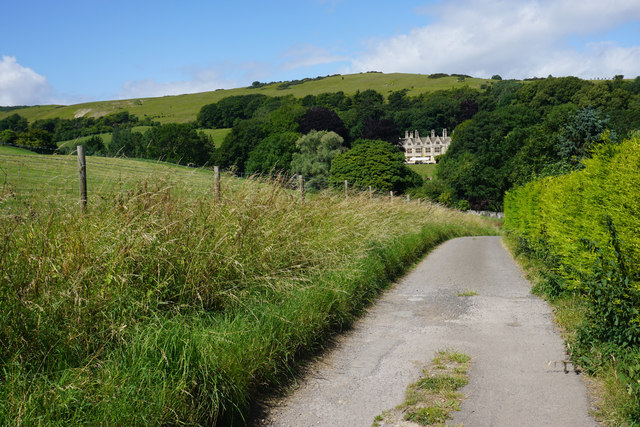
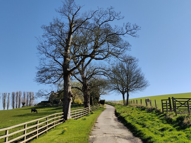
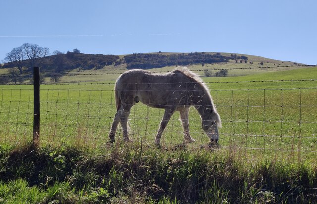
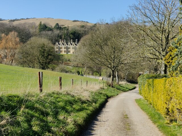
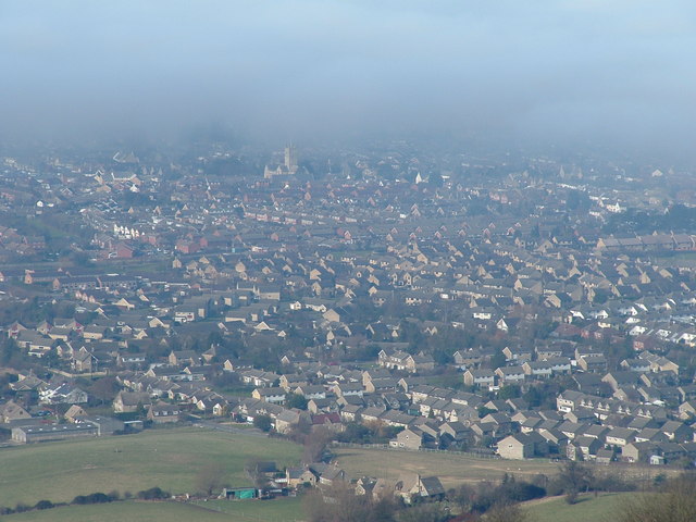
In addition to its historical significance, The Ring is also a place of natural beauty, surrounded by lush green fields and offering stunning views of the Cotswold Hills. It has become a popular destination for visitors who are interested in exploring the rich history of the area and enjoying the picturesque landscape.

To preserve and protect this important heritage site, The Ring is managed by local authorities and is open to the public. Information boards are available on-site to provide visitors with insights into the site's history and significance, making it an educational and enjoyable visit for all.

If you have any feedback on the listing, please let us know in the comments section below.

The Ring Images

Images are sourced within 2km of 51.935899/-2.0220333 or Grid Reference SO9826. Thanks to Geograph Open Source API. All images are credited.
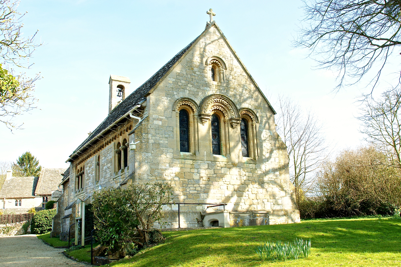
Sheep by Postlip Hall Farm Unperturbed by the bonfire behind. The hillside slopes down towards Winchcombe.
Sheep by Postlip Hall Farm
Unperturbed by the bonfire behind. The hillside slopes down towards Winchcombe.
Hillside above Postlip Hall Farm Sheep graze on this slope. On the top is Cleeve Hill golf course.
Hillside above Postlip Hall Farm
Sheep graze on this slope. On the top is Cleeve Hill golf course.
Lane to Postlip Hall This is as good a view of Postlip Hall as you get. In front of it is a marquee deriving from the Cotswold Beer Festival which I had unfortunately just missed. The lane links the hall with Postlip Hall Farm.
Lane to Postlip Hall
This is as good a view of Postlip Hall as you get. In front of it is a marquee deriving from the Cotswold Beer Festival which I had unfortunately just missed. The lane links the hall with Postlip Hall Farm.
Cottages at Postlip
Cottages at Postlip
The Cotswold Way at Postlip The Cotswold Way is a long distance walking trail that runs between the town of Chipping Campden in the north and the city of Bath in the south. 
It is 102 miles (164 km) long, and runs for most of its length along the Cotswold escarpment.
The Cotswold Way was formally launched as a National Trail in May 2007.
The Cotswold Way at Postlip
The Cotswold Way is a long distance walking trail that runs between the town of Chipping Campden in the north and the city of Bath in the south. It is 102 miles (164 km) long, and runs for most of its length along the Cotswold escarpment. The Cotswold Way was formally launched as a National Trail in May 2007.
Horse next to the Cotswold Way The Cotswold Way is a long distance walking trail that runs between the town of Chipping Campden in the north and the city of Bath in the south. 
It is 102 miles (164 km) long, and runs for most of its length along the Cotswold escarpment.
The Cotswold Way was formally launched as a National Trail in May 2007.
Horse next to the Cotswold Way
The Cotswold Way is a long distance walking trail that runs between the town of Chipping Campden in the north and the city of Bath in the south. It is 102 miles (164 km) long, and runs for most of its length along the Cotswold escarpment. The Cotswold Way was formally launched as a National Trail in May 2007.
The Cotswold Way towards Postlip Hall Postlip Hall is a Grade I listed medieval hall, with a Jacobean frontage added in 1614.
The Cotswold Way towards Postlip Hall
Postlip Hall is a Grade I listed medieval hall, with a Jacobean frontage added in 1614.
Cattle at Postlip Hall Farm Viewed from the Cotswold Way.
Cattle at Postlip Hall Farm
Viewed from the Cotswold Way.
Cotswold Way towards Breakheart Plantation The Cotswold Way is a long distance walking trail that runs between the town of Chipping Campden in the north and the city of Bath in the south. 
It is 102 miles (164 km) long, and runs for most of its length along the Cotswold escarpment.
The Cotswold Way was formally launched as a National Trail in May 2007.
Cotswold Way towards Breakheart Plantation
The Cotswold Way is a long distance walking trail that runs between the town of Chipping Campden in the north and the city of Bath in the south. It is 102 miles (164 km) long, and runs for most of its length along the Cotswold escarpment. The Cotswold Way was formally launched as a National Trail in May 2007.
Sheep near Postlip Hall Farm The Cotswold Way heads along the hedge line towards Breakheart Plantation.
Sheep near Postlip Hall Farm
The Cotswold Way heads along the hedge line towards Breakheart Plantation.
Sheep and woodland at Postlip
Lambs along the Cotswold Way The Cotswold Way is a long distance walking trail that runs between the town of Chipping Campden in the north and the city of Bath in the south. 
It is 102 miles (164 km) long, and runs for most of its length along the Cotswold escarpment.
The Cotswold Way was formally launched as a National Trail in May 2007.
Lambs along the Cotswold Way
The Cotswold Way is a long distance walking trail that runs between the town of Chipping Campden in the north and the city of Bath in the south. It is 102 miles (164 km) long, and runs for most of its length along the Cotswold escarpment. The Cotswold Way was formally launched as a National Trail in May 2007.
Sheep along the Cotswold Way at Postlip Hall Farm The Cotswold Way is a long distance walking trail that runs between the town of Chipping Campden in the north and the city of Bath in the south. 
It is 102 miles (164 km) long, and runs for most of its length along the Cotswold escarpment.
The Cotswold Way was formally launched as a National Trail in May 2007.
Sheep along the Cotswold Way at Postlip Hall Farm
The Cotswold Way is a long distance walking trail that runs between the town of Chipping Campden in the north and the city of Bath in the south. It is 102 miles (164 km) long, and runs for most of its length along the Cotswold escarpment. The Cotswold Way was formally launched as a National Trail in May 2007.
Sheep near Breakheart Plantation
Path meets drive The Cotswold Way long distance path, after passing around the grounds of Postlip Hall, comes to the drive connecting the hall with the farm of the same name.  The Cotswold Way turns right and follows the drive, a public bridleway, towards Belas Knap Long Barrow and Winchcombe.  A footpath goes straight ahead, following the infant River Isbourne towards Postlip.
Path meets drive
The Cotswold Way long distance path, after passing around the grounds of Postlip Hall, comes to the drive connecting the hall with the farm of the same name. The Cotswold Way turns right and follows the drive, a public bridleway, towards Belas Knap Long Barrow and Winchcombe. A footpath goes straight ahead, following the infant River Isbourne towards Postlip.
Follow the river The Cotswold Way long distance path, after passing around the grounds of Postlip Hall, comes to the drive connecting the hall with the farm of the same name.  The Cotswold Way turns right and follows the drive, a public bridleway, towards Belas Knap Long Barrow and Winchcombe.  This footpath goes straight ahead, following the infant River Isbourne towards Postlip.  The footpath sign has been removed from the fence.
Follow the river
The Cotswold Way long distance path, after passing around the grounds of Postlip Hall, comes to the drive connecting the hall with the farm of the same name. The Cotswold Way turns right and follows the drive, a public bridleway, towards Belas Knap Long Barrow and Winchcombe. This footpath goes straight ahead, following the infant River Isbourne towards Postlip. The footpath sign has been removed from the fence.
Follow the drive The Cotswold Way long distance path, after passing around the grounds of Postlip Hall, turns right and follows the drive, a public bridleway, connecting the hall with the farm of the same name.
Follow the drive
The Cotswold Way long distance path, after passing around the grounds of Postlip Hall, turns right and follows the drive, a public bridleway, connecting the hall with the farm of the same name.
Postlip Hall Farm [1] The entrance to the farmhouse from the drive, a public bridleway and part of the Cotswold Way.  The farm offers bed and breakfast accommodation.
Postlip Hall Farm [1]
The entrance to the farmhouse from the drive, a public bridleway and part of the Cotswold Way. The farm offers bed and breakfast accommodation.
Show me another place!

The Ring is located at Grid Ref: SO9826 (Lat: 51.935899, Lng: -2.0220333)

Administrative County: Gloucestershire

District: Tewkesbury

Police Authority: Gloucestershire

What 3 Words

///staples.steer.pods. Near Bishops Cleeve, Gloucestershire

Related Wikis

Cleeve Common

Cleeve Common (grid reference SO990260) is a 455-hectare (1,120-acre) biological and geological Site of Special Scientific Interest in Gloucestershire...

Woodmancote, Tewkesbury Borough

Woodmancote is a village and civil parish in Gloucestershire, England. The parish lies immediately east of Bishop's Cleeve; the village is about 3+1⁄2...

Southam, Gloucestershire

Southam is a village in Gloucestershire, England, located on the outskirts of Cheltenham. Its main features are a Manor House, which has now been converted...

Cleeve Hill, Gloucestershire

Cleeve Hill (also known as Cleeve Cloud) is the highest point both of the Cotswolds hill range and of the county of Gloucestershire, at 330 m (1,080 ft...

Bishops Cleeve railway station

Bishop's Cleeve railway station was a railway station that served the village of Bishop's Cleeve in Gloucestershire, England. It was opened by the Great...

Cleeve School

Cleeve School is an academy school and Leadership Partner School. It was formerly a comprehensive school and is located in the village of Bishop's Cleeve...

Bishop's Cleeve F.C.

Bishop's Cleeve Football Club is a semi-professional football club based in Bishop's Cleeve, near Cheltenham, Gloucestershire, England. They are currently...

Sudeley

Sudeley is a civil parish in the district of Tewkesbury, in the county of Gloucestershire, England. The parish includes the village of Charlton Abbots...

Nearby Amenities

Located within 500m of 51.935899,-2.0220333
Information: map
Map Type: toposcope
Source: survey
Tourism: viewpoint
Lat/Long: 51.9360178/-2.0221279
Man Made: survey_point
Operator: Ordnance Survey
Operator Wikidata: Q548721
Ref: S5016
Survey Point Structure: pillar
Lat/Long: 51.9359061/-2.0220223
Cleeve Hill
Ele: 317
Natural: peak
Lat/Long: 51.9359807/-2.0222041
Bench
Lat/Long: 51.9336277/-2.0248605
Bench
Lat/Long: 51.9381333/-2.0253719
Bench
Lat/Long: 51.9384245/-2.0269899
Bench
Backrest: yes
Mapillary: 298721121783047
Survey Date: 2018-08-22
Lat/Long: 51.9386347/-2.0273476
Barrier: kissing_gate
Foot: yes
Lat/Long: 51.9398698/-2.0252643
Dry Bottom
Place: locality
Lat/Long: 51.9373166/-2.0161835
Bench
Lat/Long: 51.9327806/-2.0246816
Bench
Backrest: yes
Lat/Long: 51.9362295/-2.0225801
Information: guidepost
Tourism: information
Lat/Long: 51.9363057/-2.022661
Historic: memorial
Inscription: In memory of the crew who died when Halifax III MZ311 (EY-M) of 78 Squadron RAF crashed in this vicinity at 0124 hours on 26 August 1944 [...] Lest we forget.
Material: stone
Start Date: 2022-12-03
Wikidata: Q116064184
Lat/Long: 51.9372089/-2.0222414
Bench
Lat/Long: 51.937042/-2.0221643
The data included in this document is from www.openstreetmap.org. The data is made available under ODbL.

Have you been to The Ring?

Leave your review of The Ring below (or comments, questions and feedback).