The Thrift

Wood, Forest in Worcestershire Bromsgrove

England

The Thrift

Where sheep may safely graze... with the Malvern Hills in the far distance, though indistinguishable on this photo.
Where sheep may safely graze... Credit: Martin Wilson

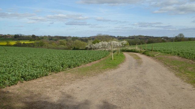
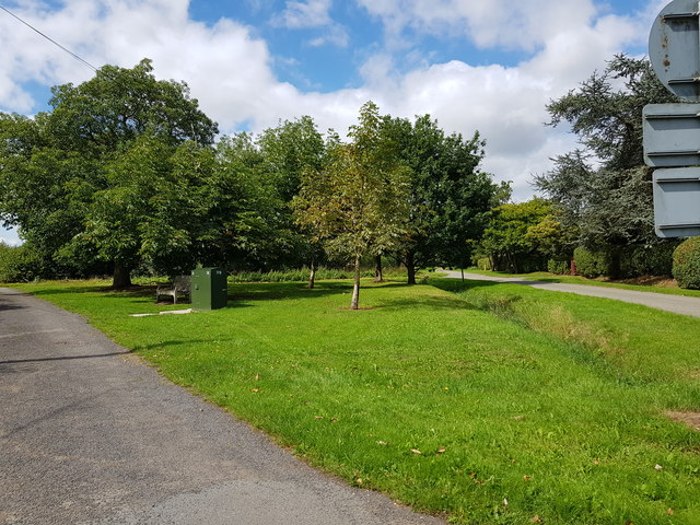
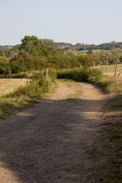
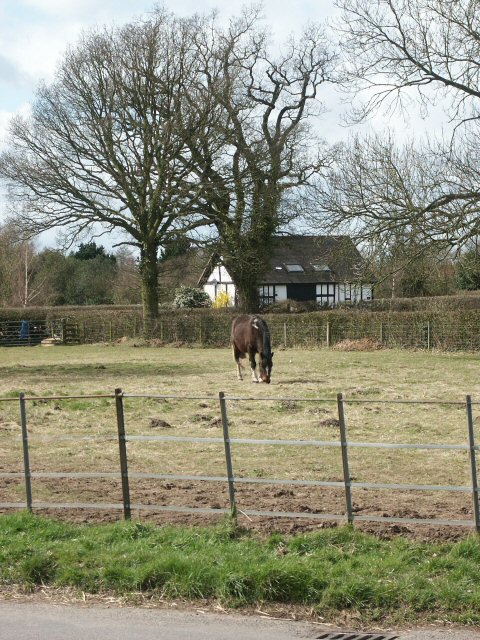
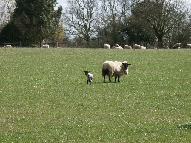
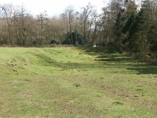
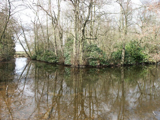
The Thrift is a small village located in Worcestershire, England. Situated within the beautiful Wood, Forest area, The Thrift is known for its picturesque surroundings and tranquil atmosphere. The village is nestled amidst rolling green hills, dense woodlands, and meandering streams, making it an ideal destination for nature enthusiasts and those seeking a peaceful retreat.

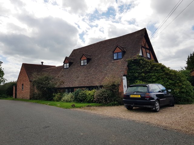
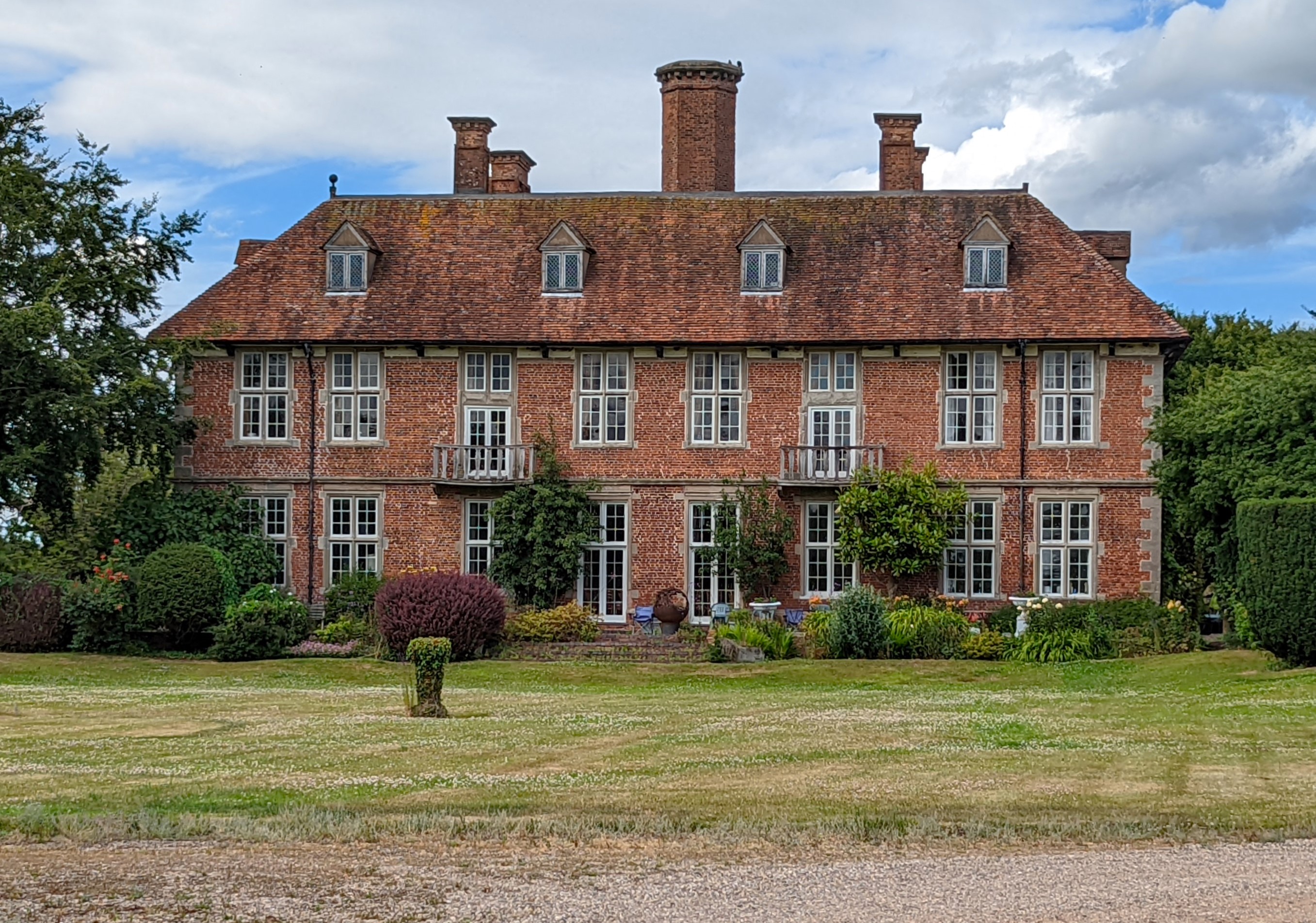
The Thrift boasts a typical English countryside charm, with quaint cottages and traditional architecture dotting the landscape. The village is home to a close-knit community, known for its friendliness and welcoming nature. Residents take great pride in maintaining the village's natural beauty and preserving its heritage.

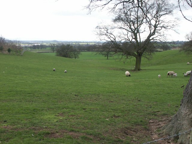
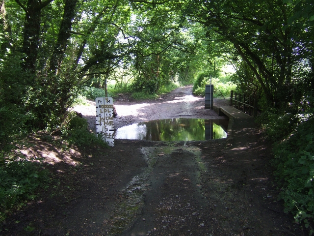
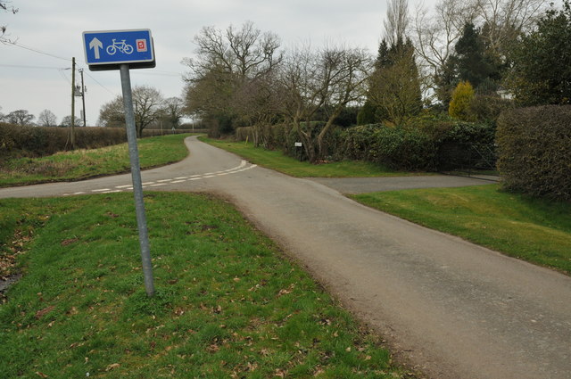
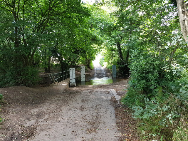
One of the main attractions in The Thrift is the nearby Wood, Forest, which offers an abundance of outdoor activities. Visitors can enjoy leisurely walks or bike rides along the numerous trails, immersing themselves in the stunning scenery. The forest is also a haven for wildlife, with a variety of bird species, deer, and other animals inhabiting the area.

The village is well-served by local amenities, including a charming village pub that serves delicious traditional meals and drinks. The nearby town of Worcestershire provides residents and visitors with additional amenities, such as shops, restaurants, and cultural attractions.

Overall, The Thrift is a hidden gem in the Worcestershire countryside, offering a peaceful and idyllic setting for those looking to escape the hustle and bustle of city life. Its natural beauty, friendly community, and proximity to the Wood, Forest make it a desirable destination for outdoor enthusiasts and nature lovers.

If you have any feedback on the listing, please let us know in the comments section below.

The Thrift Images

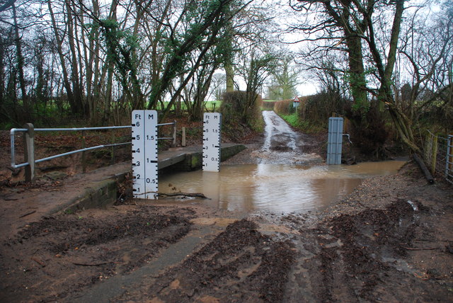
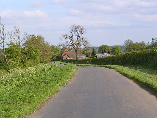
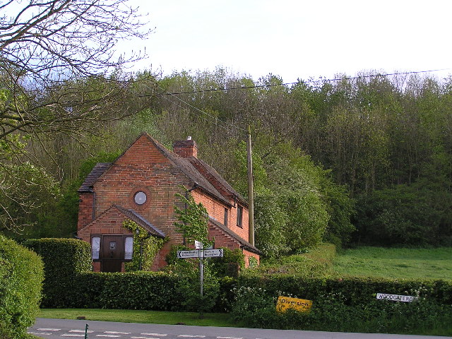
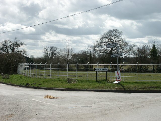
Images are sourced within 2km of 52.292849/-2.0218896 or Grid Reference SO9866. Thanks to Geograph Open Source API. All images are credited.

Where sheep may safely graze... with the Malvern Hills in the far distance, though indistinguishable on this photo.
Where sheep may safely graze...
with the Malvern Hills in the far distance, though indistinguishable on this photo.
Ford on the Spring Brook The road was closed even to cyclists on NCN 5.
Ford on the Spring Brook
The road was closed even to cyclists on NCN 5.
Cycle route 5 at Upper Bentley This road briefly enters this grid square at this point.
Cycle route 5 at Upper Bentley
This road briefly enters this grid square at this point.
Bridleway off Bentley Lane The bridleway passes through farmland and leads down to Norgrove Court.
Bridleway off Bentley Lane
The bridleway passes through farmland and leads down to Norgrove Court.
Park Cottage, Upper Bentley, Worcestershire
Ford and Footbridge, Pumphouse Lane, Upper Bentley
Triangle at Pumphouse Lane, Angel Street Junction, Upper Bentley
Track to Norgrove Court
Ford at Upper Bentley This ford on the Spring Brook is found on Pumphouse Lane a byway in Upper Bentley.
Ford at Upper Bentley
This ford on the Spring Brook is found on Pumphouse Lane a byway in Upper Bentley.
Looking down Woodgate road towards Common Barn Farm
Two Tree Hill.
Two Tree Hill.
Tardebigge Farm
Tardebigge Farm
Copyholt Lane Junction of Banks Green with Copyholt Lane (to the right). The iron fencing is not uncommon in this area.
Copyholt Lane
Junction of Banks Green with Copyholt Lane (to the right). The iron fencing is not uncommon in this area.
Paddock nr. Upper Bentley
Mother and infant
Mother and infant
Moat near Bentley The OS map showed an old moat amongst a ring of trees. Was that a gleam of water in the distance past the odd-looking terrace?
Moat near Bentley
The OS map showed an old moat amongst a ring of trees. Was that a gleam of water in the distance past the odd-looking terrace?
Moat near Bentley The old moat in surprisingly good condition. According to the local gamekeeper, the island (accessed via a bridge) was a Sunday afternoon retreat for the local ladies many years ago.
Moat near Bentley
The old moat in surprisingly good condition. According to the local gamekeeper, the island (accessed via a bridge) was a Sunday afternoon retreat for the local ladies many years ago.
Field nr. Lower Bentley
Show me another place!

The Thrift is located at Grid Ref: SO9866 (Lat: 52.292849, Lng: -2.0218896)

Administrative County: Worcestershire

District: Bromsgrove

Police Authority: West Mercia

What 3 Words

///wake.donation.corporate. Near Stoke Prior, Worcestershire

Nearby Locations

The Thrift Pike Pool

Related Wikis

Upper Bentley

Upper Bentley is a village in Worcestershire, England. It is located between the towns of Redditch and Bromsgrove. It is near the villages of Elcocks Brook...

Norgrove Court

Norgrove Court is a stately home near Redditch in North Eastern Worcestershire built in 1649. It is listed Grade I on the National Heritage List for England...

Tardebigge Lake

Tardebigge Lake is a large feeder reservoir, about 25 acres (100,000 m2) in size, built to supply water for the famous flight of locks running from Tardebigge...

Cruise Hill

Cruise Hill is a hamlet outside Redditch, Worcestershire. It lies in between the villages of Feckenham, Callow Hill, Elcocks Brook & Ham Green.

Nearby Amenities

Located within 500m of 52.292849,-2.0218896
Bus Stop
Lower Bentley
Bus: yes
Naptan AtcoCode: 2000G625002
Naptan Bearing: NE
Naptan CommonName: Lower Bentley
Naptan Indicator: Adj
Naptan Landmark: High Elms lane
Naptan NaptanCode: wocgjtdt
Naptan Street: Lower Bentley Lane
Naptan Verified: no
Public Transport: platform
Source: naptan_import
Lat/Long: 52.2926287/-2.0273452
Grasmere
Power: pole
Transformer: distribution
Voltage Primary: 11000
Lat/Long: 52.2918889/-2.0281409
Power: pole
Lat/Long: 52.2915636/-2.0280048
Power: pole
Lat/Long: 52.2910149/-2.027746
Power: pole
Lat/Long: 52.2904936/-2.027512
The data included in this document is from www.openstreetmap.org. The data is made available under ODbL.

Have you been to The Thrift?

Leave your review of The Thrift below (or comments, questions and feedback).