Chadwich Wood

Wood, Forest in Worcestershire Bromsgrove

England

Chadwich Wood

The M5 skirts a hillock Seen from the lane that leads to Chadwich Grange.
The M5 skirts a hillock Credit: Adrian Bailey

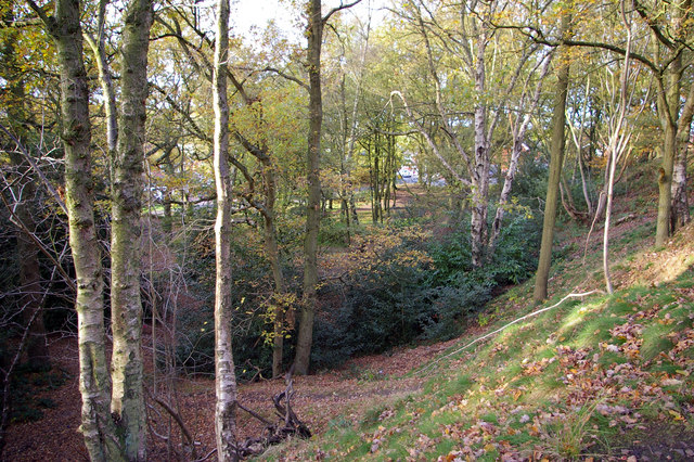
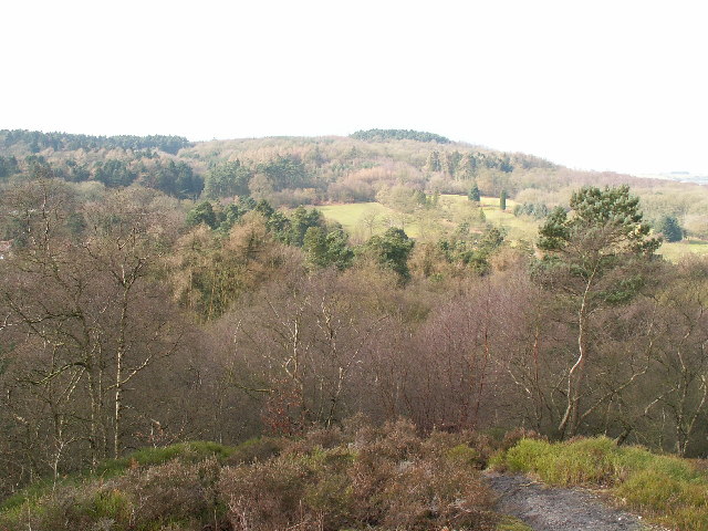
Chadwich Wood is a picturesque forest located in Worcestershire, England. Spanning an area of approximately 200 acres, this woodland area is renowned for its natural beauty and rich biodiversity. It is situated just outside the town of Bromsgrove, making it easily accessible to both locals and tourists.

The forest is predominantly composed of native broadleaf trees such as oak, ash, and birch, creating a stunning canopy that offers shade and shelter to various wildlife species. The woodland floor is covered in a carpet of bluebells during the spring, adding a burst of color to the already enchanting landscape.

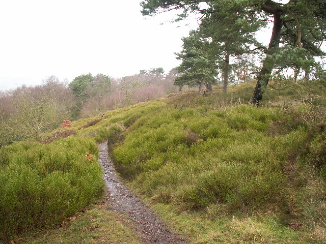
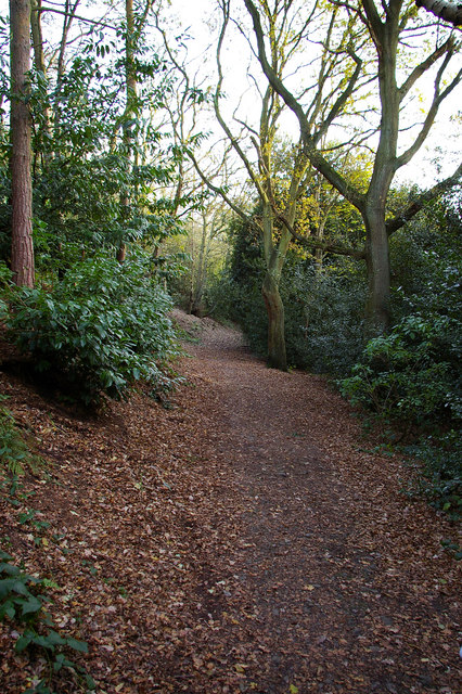
Chadwich Wood is a haven for nature enthusiasts and hikers alike, offering a network of well-maintained walking trails that meander through the forest. These trails provide visitors with the opportunity to explore the woodland's hidden gems, including a tranquil pond and a small waterfall.

The forest is home to a diverse range of wildlife, including deer, badgers, and a variety of bird species. Birdwatchers will be delighted to spot woodpeckers, owls, and various songbirds in the area.

The management of Chadwich Wood is overseen by Worcestershire Wildlife Trust, ensuring that the woodland's ecological balance is maintained. Conservation efforts have been implemented to protect and enhance the forest, making it a sustainable and thriving ecosystem.

Overall, Chadwich Wood in Worcestershire is a natural sanctuary that offers visitors a tranquil escape from the hustle and bustle of everyday life. Its breathtaking beauty and diverse wildlife make it a must-visit destination for nature lovers and those seeking a peaceful retreat in the heart of the English countryside.

If you have any feedback on the listing, please let us know in the comments section below.

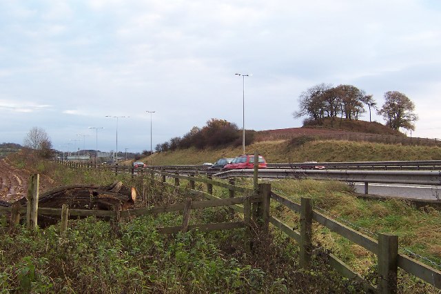
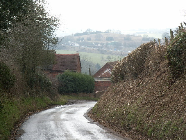
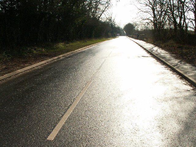
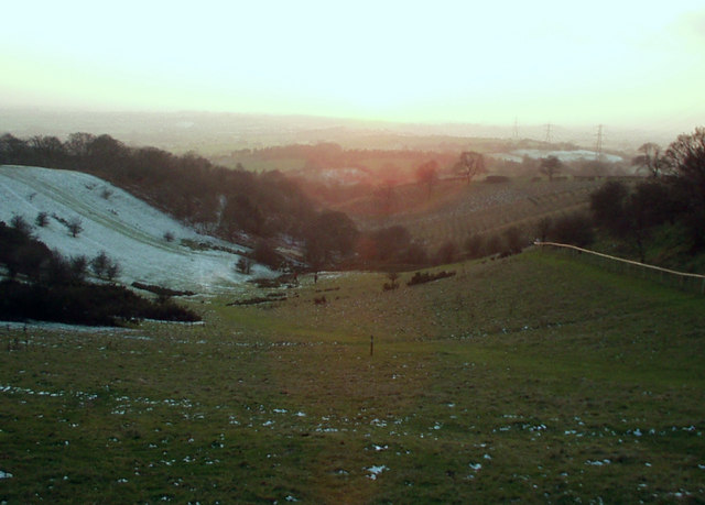
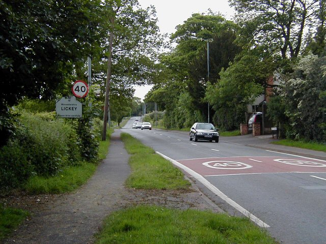
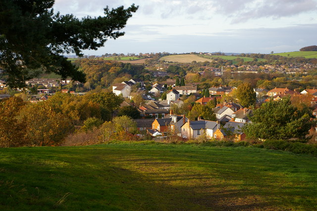
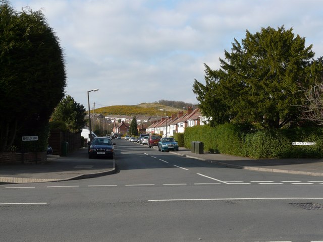
Chadwich Wood Images

Images are sourced within 2km of 52.383909/-2.0275916 or Grid Reference SO9876. Thanks to Geograph Open Source API. All images are credited.

The M5 skirts a hillock Seen from the lane that leads to Chadwich Grange.
The M5 skirts a hillock
Seen from the lane that leads to Chadwich Grange.
View from Bilberry Hill towards Beacon Hill Bilberry Hill is in the Lickey Hills Country Park. Together with its neighbours the hill is composed of Lickey Quartzite, one of the oldest rocks in the region. The Lickey Hills include some of the largest areas of bilberry and heather in the county. The hill in the distance is Beacon Hill. The open area in between is a golf course.
View from Bilberry Hill towards Beacon Hill
Bilberry Hill is in the Lickey Hills Country Park. Together with its neighbours the hill is composed of Lickey Quartzite, one of the oldest rocks in the region. The Lickey Hills include some of the largest areas of bilberry and heather in the county. The hill in the distance is Beacon Hill. The open area in between is a golf course.
Rednal Hill Rednal Hill was presented to the City of Birmingham in 1888 by the Birmingham Association for the Preservation of Open Spaces. Together with land donated by the Cadbury family it forms the Lickey Hills Country Park.
Rednal Hill
Rednal Hill was presented to the City of Birmingham in 1888 by the Birmingham Association for the Preservation of Open Spaces. Together with land donated by the Cadbury family it forms the Lickey Hills Country Park.
Toposcope, Beacon Hill The toposcope on Beacon Hill (298m) was constructed in 1923 after Beacon Hill was donated to the City of Birmingham by the Cadbury family. The toposcope was restored in 1988. From this viewpoint on a good day 13 old counties can be seen. Going east from the summit there is no higher land at the same latitude until you reach the Ural Mountains in Russia (I've checked this using Google Earth).
Toposcope, Beacon Hill
The toposcope on Beacon Hill (298m) was constructed in 1923 after Beacon Hill was donated to the City of Birmingham by the Cadbury family. The toposcope was restored in 1988. From this viewpoint on a good day 13 old counties can be seen. Going east from the summit there is no higher land at the same latitude until you reach the Ural Mountains in Russia (I've checked this using Google Earth).
Beacon Hill Looking south-west towards the car park from near the toposcope.
Beacon Hill
Looking south-west towards the car park from near the toposcope.
Road junction , Rubery The junction of School Road, Gannow Road and Gunner Lane in the south west corner of the square, looking north east. Waseley Hills High School and Holywell Junior School are just to the left of the picture.
Road junction , Rubery
The junction of School Road, Gannow Road and Gunner Lane in the south west corner of the square, looking north east. Waseley Hills High School and Holywell Junior School are just to the left of the picture.
Redhill Lane Looking south west towards Redhill Farm. The M5 motorway can be seen climbing up towards junction 4.
Redhill Lane
Looking south west towards Redhill Farm. The M5 motorway can be seen climbing up towards junction 4.
Birmingham Road, Lydiate Ash This road was formerly the A38 - however this section has been bypassed as the A38 now runs via junction 4 of the M5, several hundred metres west. Birmingham, Road is now little more than a quiet country lane, albeit a very wide, straight and well surfaced one.
Birmingham Road, Lydiate Ash
This road was formerly the A38 - however this section has been bypassed as the A38 now runs via junction 4 of the M5, several hundred metres west. Birmingham, Road is now little more than a quiet country lane, albeit a very wide, straight and well surfaced one.
Marlbrook Tip Photo taken from Marlbrook Lane. The owners of this former landfill site have plans to restore the area, and develop and nine hole golf course.
Marlbrook Tip
Photo taken from Marlbrook Lane. The owners of this former landfill site have plans to restore the area, and develop and nine hole golf course.
View south west from Windmill Hill, Waseley Hills Country Park Looking down a small valley from the footpath below the summit of the hill, late on a winter afternoon
View south west from Windmill Hill, Waseley Hills Country Park
Looking down a small valley from the footpath below the summit of the hill, late on a winter afternoon
Old Birmingham Road B4096, a rather busy road for a Sunday afternoon, but it does give access to the Lickey Hills and an exit from the SW Birmingham conurbation.
Old Birmingham Road
B4096, a rather busy road for a Sunday afternoon, but it does give access to the Lickey Hills and an exit from the SW Birmingham conurbation.
Life in the slow lane Monday morning rush hour on the M5 just past junction 4 heading north
Life in the slow lane
Monday morning rush hour on the M5 just past junction 4 heading north
Rednal Hill, looking towards Rubery Looking out across leafy suburbia
Rednal Hill, looking towards Rubery
Looking out across leafy suburbia
Woodland on north west end of Rednal Hill
Bridleway below south western slope of Rednal Hill
Sandy Lane (A461) looking NW
Beacon Hill Toposcope - Lickey Hills Country Park
Beverley Road with Cock Hill in the background
Show me another place!

Chadwich Wood is located at Grid Ref: SO9876 (Lat: 52.383909, Lng: -2.0275916)

Administrative County: Worcestershire

District: Bromsgrove

Police Authority: West Mercia

What 3 Words

///forget.nurse.scales. Near Barnt Green, Worcestershire

Related Wikis

Rubery

Rubery is a village in the Bromsgrove District and a suburb of Birmingham in the counties of Worcestershire and West Midlands, England. It is 9 miles...

Waseley Hills High School and Sixth Form Centre

Waseley Hills High School and Sixth Form Centre is a mixed secondary school and sixth form with academy status in the town of Rubery, on the border of...

St Chad's Church, Rubery

St Chad’s Church, Rubery is a Church of England parish church in Rubery, Worcestershire. == History == The church evolved in 1895 as a mission church from...

Lydiate Ash

Lydiate Ash is a hamlet in North Worcestershire, England, consisting of a few houses, the road gritting and works depot for Worcestershire County Council...

Lickey Hills Country Park

Lickey Hills Country Park is a country park in England. It is 10 miles (16 kilometres) south west of Birmingham and 24 miles (39 kilometres) north east...

Lickey Hills

The Lickey Hills (known locally as simply The Lickeys) are a range of hills in Worcestershire, England, 11 miles (18 km) to the south-west of the centre...

Bilberry Hill

Bilberry Hill is one of the Lickey Hills in northern Worcestershire, England, 10.3 miles (16.6 kilometres) south west of Birmingham and 24 miles (39 kilometres...

Holy Trinity Church, Lickey

Holy Trinity Church, Lickey is a Church of England parish church in Lickey, Worcestershire. == History == The foundation stone was laid on 16 May 1855...

Related Videos

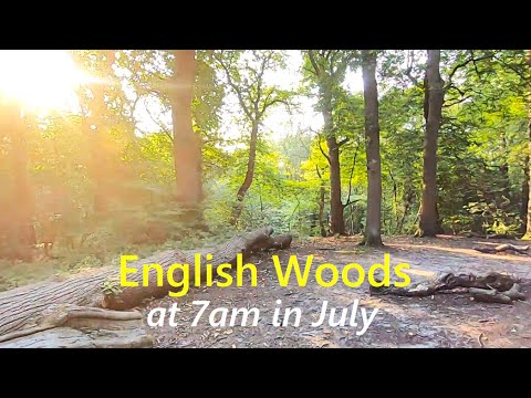
A Walk In The Woods | Virtual Forest Scenery For Treadmill Walking | English Autumn Colours (60 Min)

An hour of walking through beautiful woods and countryside trails at the Lickey Hills Country Park near Birmingham, UK. Relaxing ...

Walking In Rain In The Woods With Umbrella - Virtual Forest Walk Video - 1 Hour 45 Minutes

Virtual rain walk video - peaceful hike through a misty forest in the summer rain on scenic hill trails. Beautiful rainy day hiking ...

English Forest Walk - Virtual Scenery For Treadmill Workout - Walking Through The Woods

Long hike in the woods at 7am on a peaceful summer morning in central England, UK - 1 hour 30 minute video for home cardio ...

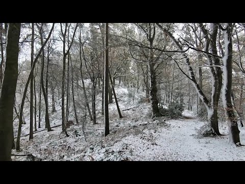
Heavy Snow Falling UK November 2021! Walking Into Snowy Woods Near Birmingham

After Storm Arwen it's still snowing for this virtual morning walk through countryside & forest in central England. With the strong ...

Nearby Amenities

Located within 500m of 52.383909,-2.0275916
Post Box
Ref: B45 402
Lat/Long: 52.381379/-2.0228871
Stock Hill
Natural: peak
Lat/Long: 52.3828556/-2.0236378
Natural: spring
Lat/Long: 52.3819408/-2.0327356
The data included in this document is from www.openstreetmap.org. The data is made available under ODbL.

Have you been to Chadwich Wood?

Leave your review of Chadwich Wood below (or comments, questions and feedback).