Beacon Hill
Hill, Mountain in Worcestershire Bromsgrove
England
Beacon Hill
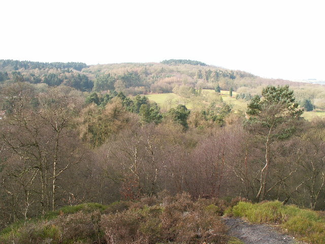
Beacon Hill, located in Worcestershire, England, is a prominent hill and mountainous area that offers breathtaking views and a rich historical significance. Rising to an elevation of 291 meters (955 feet), it is one of the highest points in the county.
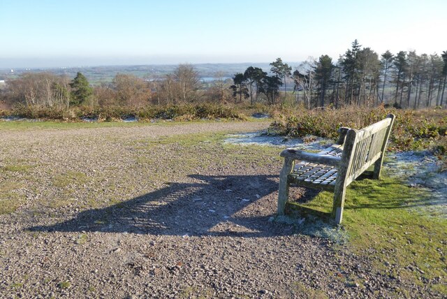
The hill is known for its distinctive shape, with a steep-sided cone-like summit that is topped by a beacon, giving it its name. The beacon, historically used for communication purposes, was often lit to warn of impending danger or to announce important news. Today, it serves as a reminder of the area's past and is a popular landmark for hikers and visitors.
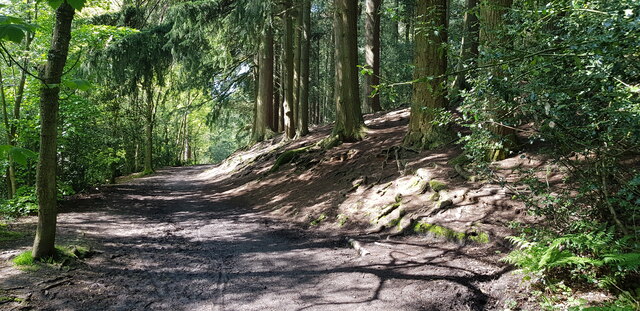
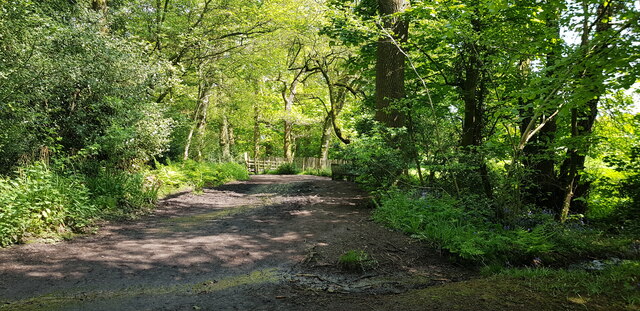
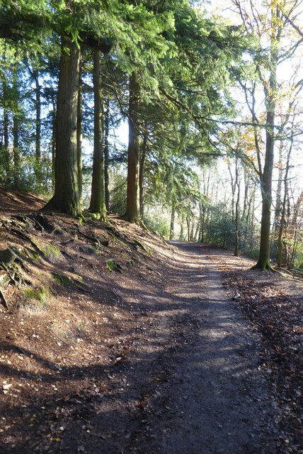
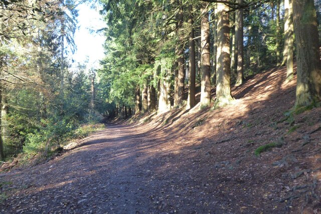
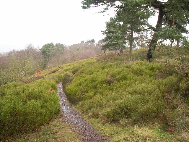
Beacon Hill is surrounded by picturesque countryside, offering a diverse range of flora and fauna. The hill is part of a larger nature reserve, providing a habitat for various wildlife species, including rare plants, birds, and mammals. It is a haven for nature lovers and offers ample opportunities for outdoor activities such as walking, hiking, and birdwatching.
The hill is also of archaeological importance, with evidence of human activity dating back to the Bronze Age. Excavations have uncovered ancient burial mounds and artifacts, providing insights into the area's early history.
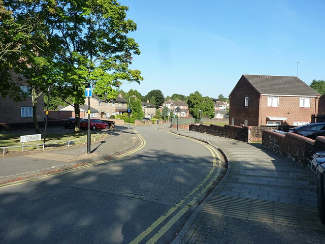
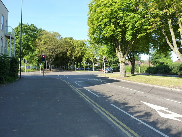
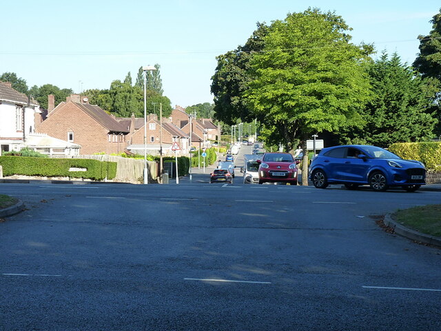
Access to Beacon Hill is convenient, with well-maintained footpaths and trails leading to the summit. Visitors can enjoy panoramic views of the surrounding countryside, including the Malvern Hills to the west and the Cotswolds to the east.
Overall, Beacon Hill in Worcestershire is a captivating destination that combines natural beauty, historical significance, and recreational opportunities, making it a must-visit location for both locals and tourists.
If you have any feedback on the listing, please let us know in the comments section below.
Beacon Hill Images
Images are sourced within 2km of 52.382131/-2.0196424 or Grid Reference SO9876. Thanks to Geograph Open Source API. All images are credited.


Beacon Hill is located at Grid Ref: SO9876 (Lat: 52.382131, Lng: -2.0196424)
Administrative County: Worcestershire
District: Bromsgrove
Police Authority: West Mercia
What 3 Words
///long.cages.stuck. Near Barnt Green, Worcestershire
Nearby Locations
Related Wikis

Rubery
Rubery is a village in the Bromsgrove District and a suburb of Birmingham in the counties of Worcestershire and West Midlands, England. It is 9 miles...
Lickey Hills Country Park
Lickey Hills Country Park is a country park in England. It is 10 miles (16 kilometres) south west of Birmingham and 24 miles (39 kilometres) north east...

Lickey Hills
The Lickey Hills (known locally as simply The Lickeys) are a range of hills in Worcestershire, England, 11 miles (18 km) to the south-west of the centre...
Bilberry Hill
Bilberry Hill is one of the Lickey Hills in northern Worcestershire, England, 10.3 miles (16.6 kilometres) south west of Birmingham and 24 miles (39 kilometres...

Holy Trinity Church, Lickey
Holy Trinity Church, Lickey is a Church of England parish church in Lickey, Worcestershire. == History == The foundation stone was laid on 16 May 1855...
St Chad's Church, Rubery
St Chad’s Church, Rubery is a Church of England parish church in Rubery, Worcestershire. == History == The church evolved in 1895 as a mission church from...

Waseley Hills High School and Sixth Form Centre
Waseley Hills High School and Sixth Form Centre is a mixed secondary school and sixth form with academy status in the town of Rubery, on the border of...

Lickey
Lickey is a 'Linear Development', as opposed to a village, in the north of Worcestershire, England approximately 10 miles (16 km) south west from the centre...
Nearby Amenities
Located within 500m of 52.382131,-2.0196424Have you been to Beacon Hill?
Leave your review of Beacon Hill below (or comments, questions and feedback).