Under Coxon Plantation
Wood, Forest in Northumberland
England
Under Coxon Plantation

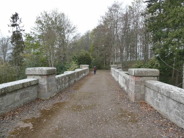
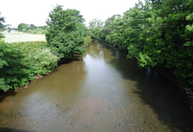
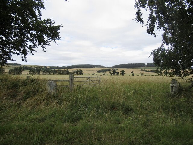
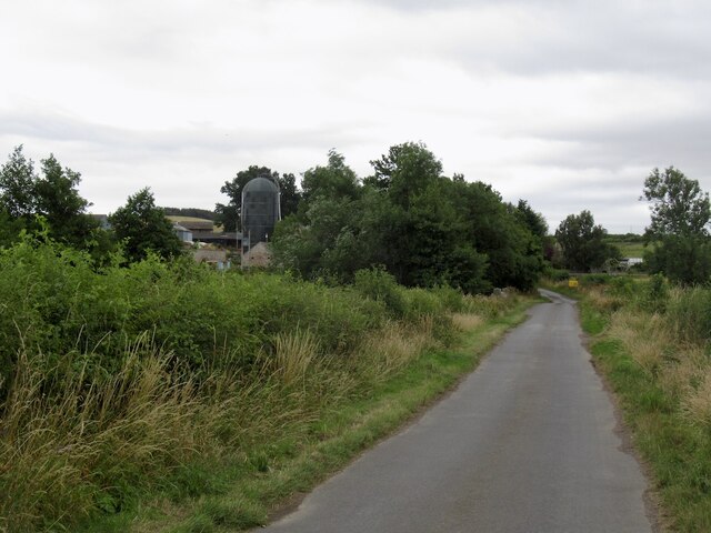
Under Coxon Plantation is a picturesque woodland located in Northumberland, England. It covers an expansive area, encompassing a diverse range of trees and flora, making it an idyllic destination for nature enthusiasts and outdoor lovers. The plantation is well-maintained, and its natural beauty is preserved by environmentally conscious management practices.
The woodland is predominantly composed of a mix of deciduous and coniferous trees, creating a vibrant tapestry of colors throughout the seasons. Towering oak, beech, and ash trees dominate the landscape, providing a haven for numerous bird species and other wildlife. The forest floor is adorned with a rich carpet of wildflowers, ferns, and mosses, adding to the enchanting atmosphere.
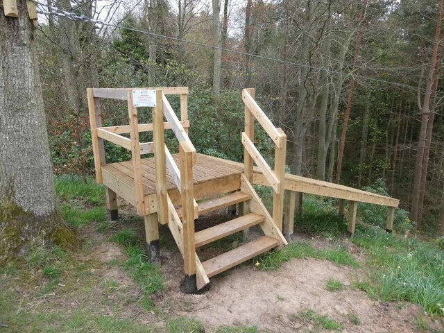
Under Coxon Plantation offers a network of walking trails, allowing visitors to explore its hidden corners and discover its hidden gems. The paths wind through the woodland, leading to tranquil clearings, babbling streams, and peaceful ponds, offering opportunities for peaceful reflection and relaxation. The plantation is also home to a variety of wildlife, including deer, squirrels, and a wide array of bird species, making it a popular spot for birdwatching and wildlife photography.
Whether visitors are seeking solace in nature, enjoying a leisurely stroll, or engaging in outdoor activities such as picnicking or camping, Under Coxon Plantation provides a serene and captivating environment. Its accessibility, natural beauty, and abundance of wildlife make it a beloved destination for both locals and tourists alike, offering a true sanctuary for those seeking a connection with the natural world.
If you have any feedback on the listing, please let us know in the comments section below.
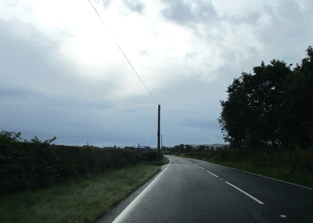
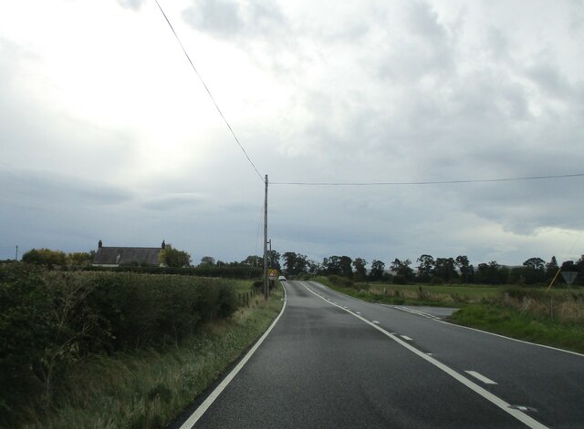
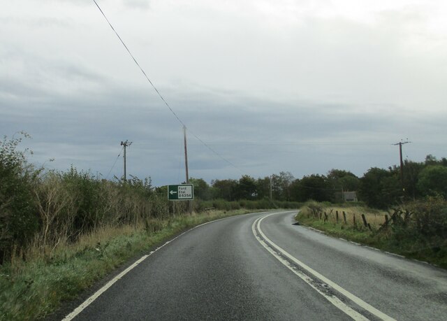
Under Coxon Plantation Images
Images are sourced within 2km of 55.616145/-2.1035353 or Grid Reference NT9335. Thanks to Geograph Open Source API. All images are credited.

Under Coxon Plantation is located at Grid Ref: NT9335 (Lat: 55.616145, Lng: -2.1035353)
Unitary Authority: Northumberland
Police Authority: Northumbria
What 3 Words
///rich.brimmed.loosens. Near Ford, Northumberland
Related Wikis

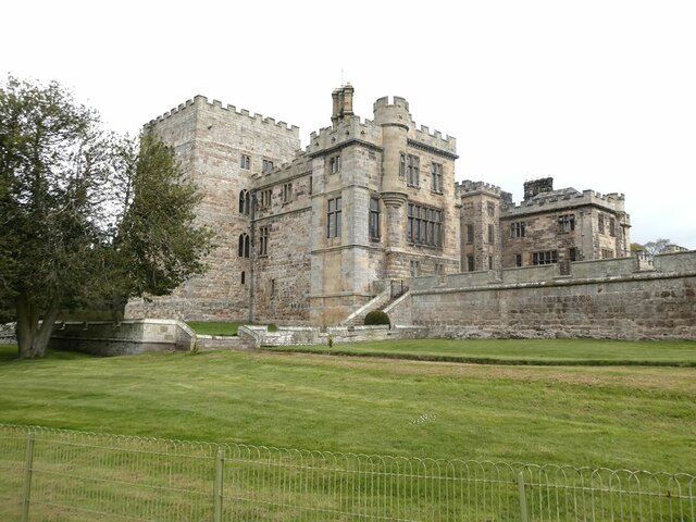
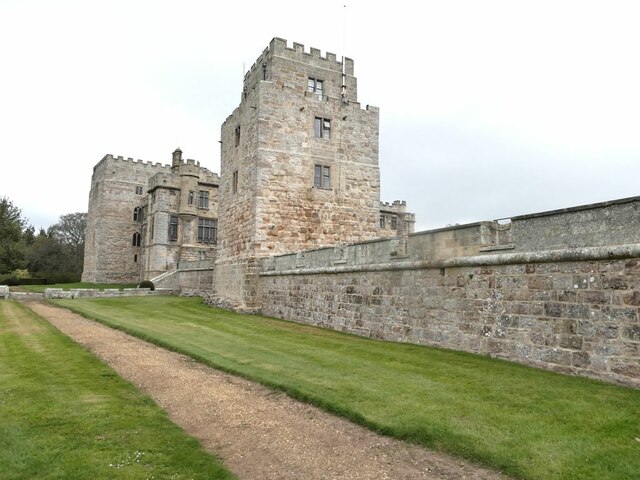
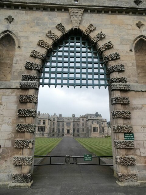
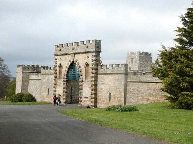
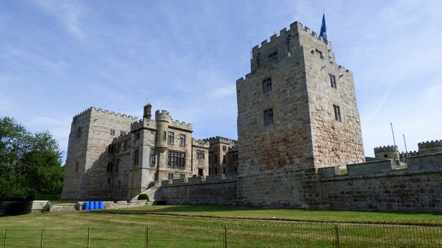
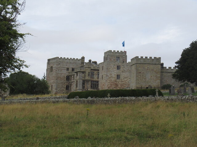
Ford Castle
Ford Castle is a Grade I listed building situated at a shallow crossing point on the River Till, Ford, Northumberland, England. The castle dates from about...

Ford, Northumberland
Ford is a small village and civil parish in Northumberland, England, about 13 miles (21 km) from Berwick-upon-Tweed. The parish also includes Etal. �...

Lady Waterford Hall
Lady Waterford Hall is the former village school of the estate village of Ford, Northumberland. It is now used as the village hall and is a Grade II* listed...

Maelmin Henge
Maelmin Henge is modern interpretation/reconstruction of a henge monument near the village of Milfield, Northumberland in the Till Valley.It was built...

Glendale, Northumberland
Glendale is the name of a valley in North Northumberland that runs from the Cheviot Hills at Kirknewton onto the Milfield Plain, formed by the River Glen...

Milfield
Milfield is a village in Northumberland, England about 3 miles (5 km) northwest of Wooler. The A697 road passes through the village. == History == Milfield...

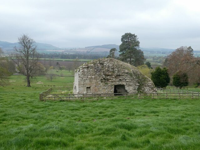
Heatherslaw Mill
Heatherslaw Mill is a water mill situated on the Ford and Etal Estate, 7 miles north of the town of Wooler in the English county of Northumberland. It...
Ford Forge
Ford Forge (Ford Mill), Northumberland, England is located on the River Till between the villages of Ford and Etal. Buildings housing a water-powered forge...
Have you been to Under Coxon Plantation?
Leave your review of Under Coxon Plantation below (or comments, questions and feedback).