Tilesheds Strip

Wood, Forest in Northumberland

England

Tilesheds Strip

Access  track  to  Mount  Pleasant  farm  from  A697 Just before telegraph post, farm name sign on post
Access track to Mount Pleasant farm from A697 Credit: Martin Dawes

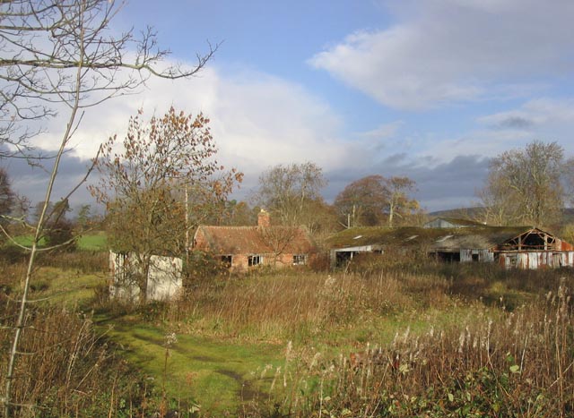
Tilesheds Strip is a picturesque woodland area located in the county of Northumberland in the north of England. Covering an expansive area, it is known for its dense forest and abundance of tall, majestic trees. The strip is situated just a short distance from the village of Wood, making it easily accessible for visitors to explore and enjoy.

The woodland in Tilesheds Strip is predominantly made up of native tree species such as oak, beech, and birch, creating a vibrant and diverse ecosystem. The tall trees provide a dense canopy, creating a serene and tranquil atmosphere within the forest. The forest floor is carpeted with a rich layer of moss and fallen leaves, adding to the enchanting ambiance of the area.

The strip is a popular destination for nature lovers, hikers, and wildlife enthusiasts. It offers numerous walking trails and paths that wind through the woodland, allowing visitors to immerse themselves in the beauty of nature. The diversity of flora and fauna in Tilesheds Strip is astounding, with a variety of wildflowers, ferns, and mushrooms dotting the forest floor. Wildlife such as deer, foxes, and a wide array of bird species can often be spotted within the forest.

Tilesheds Strip is a haven for those seeking tranquility and a connection to nature. Its rustic charm and natural beauty make it a must-visit destination for anyone exploring the scenic wonders of Northumberland.

If you have any feedback on the listing, please let us know in the comments section below.

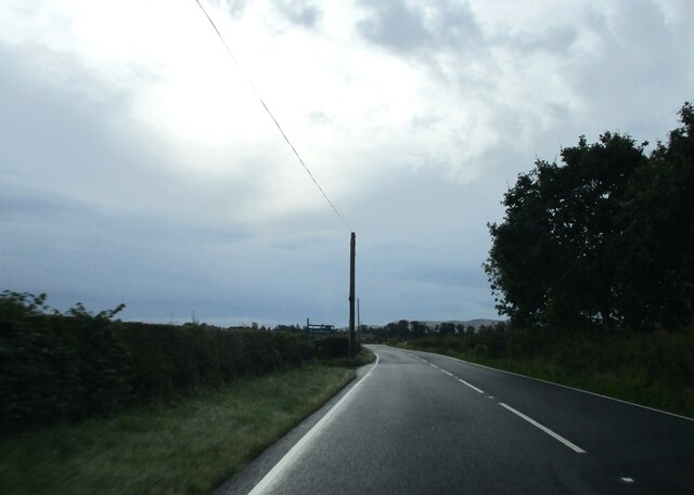
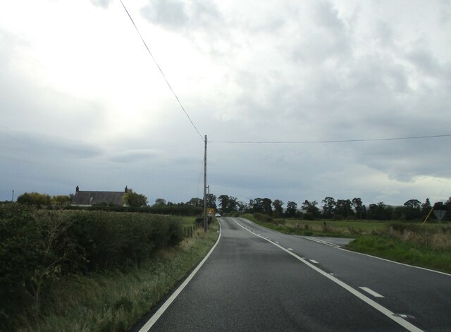
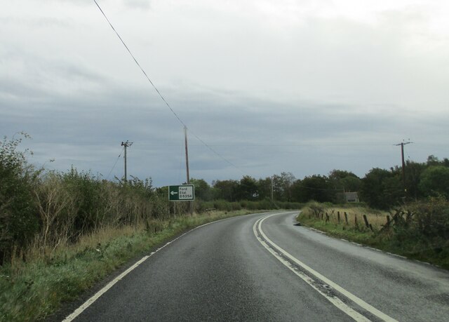
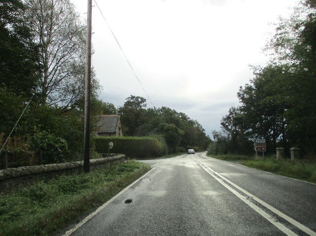
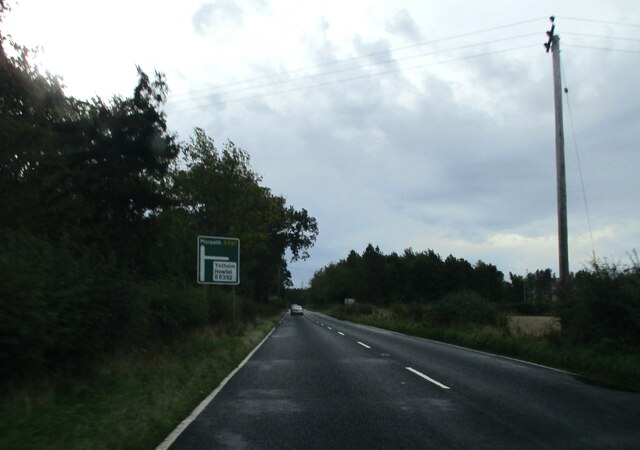
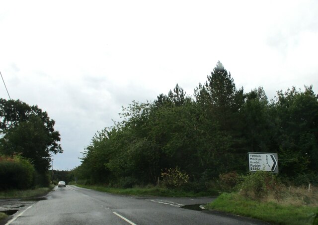
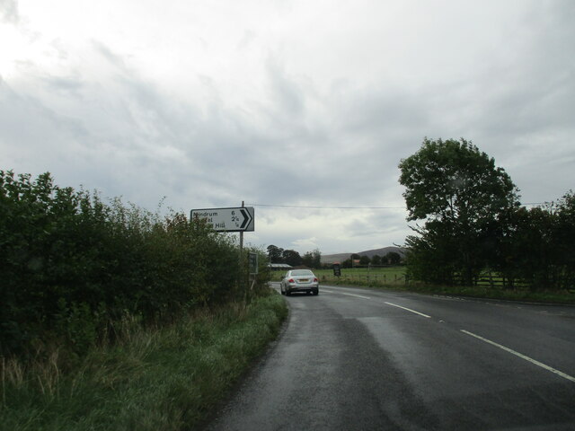
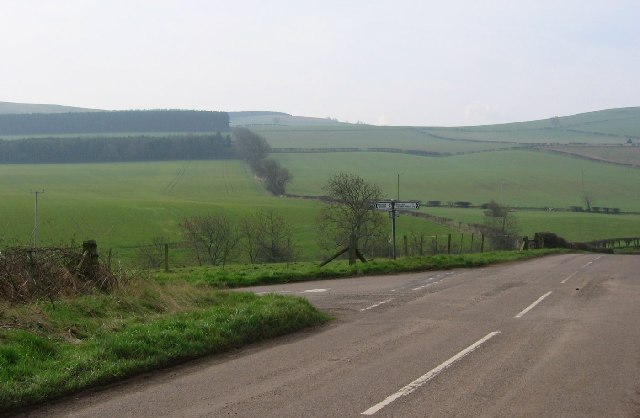
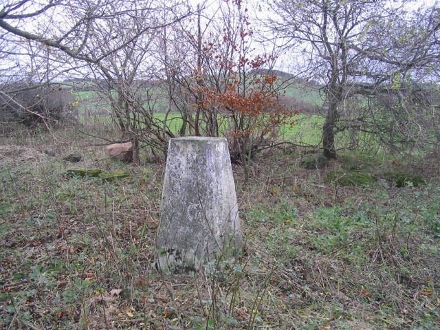
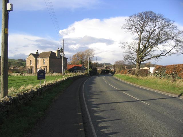
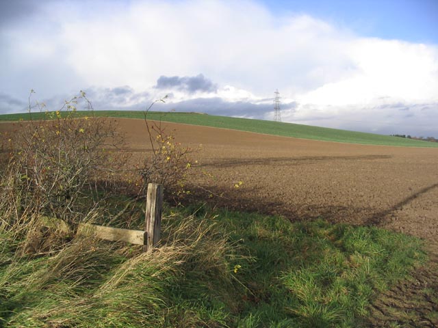
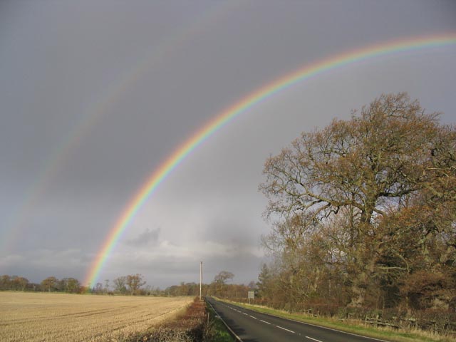
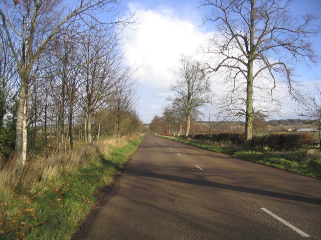
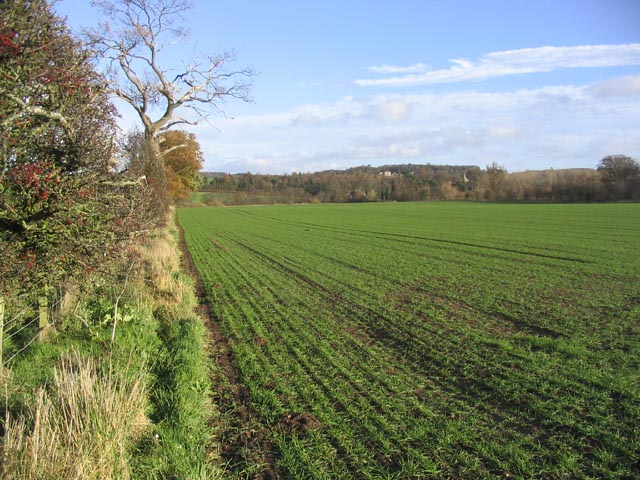
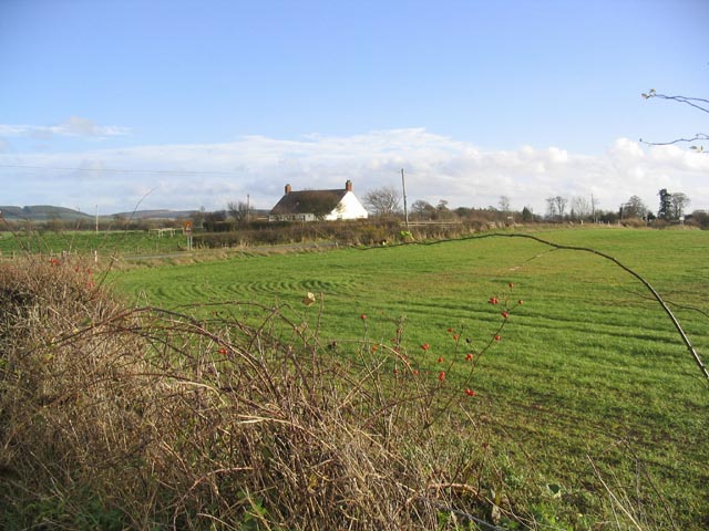
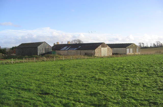
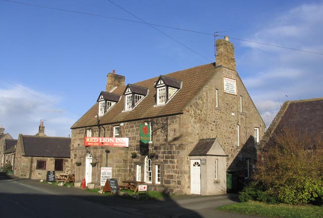
Tilesheds Strip Images

Images are sourced within 2km of 55.612652/-2.1109239 or Grid Reference NT9335. Thanks to Geograph Open Source API. All images are credited.

Access  track  to  Mount  Pleasant  farm  from  A697 Just before telegraph post, farm name sign on post
Access track to Mount Pleasant farm from A697
Just before telegraph post, farm name sign on post
Rooftop  to  left  Fishers  Steads  on  A697  southbound The minor road junction to the right will take you to Branxton Moor
Rooftop to left Fishers Steads on A697 southbound
The minor road junction to the right will take you to Branxton Moor
Approaching  Ford  and  Etal  junction  on  A697
Approaching Ford and Etal junction on A697
Junction  of  B6354  to  Ford  and  Etal.  Flodden  Lodge To the right the gateposts of a carriageway to Sybil's Well on Flodden Hill
Junction of B6354 to Ford and Etal. Flodden Lodge
To the right the gateposts of a carriageway to Sybil's Well on Flodden Hill
Approaching  junction  of  B6352  on  the  right In the trees to the left is Tilesheds Sawmill the O/S map states it is disused
Approaching junction of B6352 on the right
In the trees to the left is Tilesheds Sawmill the O/S map states it is disused
Junction  of  B6352  on  the  right  from  A697 To the left the track into Tileshed Sawmill, said on OS map to be disused.
Junction of B6352 on the right from A697
To the left the track into Tileshed Sawmill, said on OS map to be disused.
Minor  road  junction  on  A697  to  Milfield  Hill  and  beyond
Minor road junction on A697 to Milfield Hill and beyond
West Flodden Crossroads This is an arable farming area with big fields of winter planted crops. Sheep are run on the surrounding higher ground.
West Flodden Crossroads
This is an arable farming area with big fields of winter planted crops. Sheep are run on the surrounding higher ground.
The trig point on Whitton Hill This trig point at 73m is located within a small triangular piece of waste ground, surrounded by arable and pasture fields.
The trig point on Whitton Hill
This trig point at 73m is located within a small triangular piece of waste ground, surrounded by arable and pasture fields.
Approaching Milfield from the Southwest
Ploughed field Looking towards Whitton Hill.
Ploughed field
Looking towards Whitton Hill.
Rainbow over the A697 Taken from the junction of the B6352 and the A697 near the disused Tilesheds Sawmill.
Rainbow over the A697
Taken from the junction of the B6352 and the A697 near the disused Tilesheds Sawmill.
The B6354 near Flodden Lodge
Farmland near Ford Viewed from the B6354.
Farmland near Ford
Viewed from the B6354.
House at Fishers Steads by the A697
Encampment Farm
Encampment Farm
The Red Lion Inn at Milfield
Disused saw mill At Tilesheds by the A697.
Disused saw mill
At Tilesheds by the A697.
Show me another place!

Tilesheds Strip is located at Grid Ref: NT9335 (Lat: 55.612652, Lng: -2.1109239)

Unitary Authority: Northumberland

Police Authority: Northumbria

What 3 Words

///magnitude.protected.treaty. Near Ford, Northumberland

Related Wikis

Glendale, Northumberland

Glendale is the name of a valley in North Northumberland that runs from the Cheviot Hills at Kirknewton onto the Milfield Plain, formed by the River Glen...

Milfield

Milfield is a village in Northumberland, England about 3 miles (5 km) northwest of Wooler. The A697 road passes through the village. == History == Milfield...

Maelmin Henge

Maelmin Henge is modern interpretation/reconstruction of a henge monument near the village of Milfield, Northumberland in the Till Valley.It was built...

Ford Castle

Ford Castle is a Grade I listed building situated at a shallow crossing point on the River Till, Ford, Northumberland, England. The castle dates from about...

Nearby Amenities

Located within 500m of 55.612652,-2.1109239
Parking
Lat/Long: 55.6121036/-2.1098027
The data included in this document is from www.openstreetmap.org. The data is made available under ODbL.

Have you been to Tilesheds Strip?

Leave your review of Tilesheds Strip below (or comments, questions and feedback).