Floddenford Plantation
Wood, Forest in Northumberland
England
Floddenford Plantation
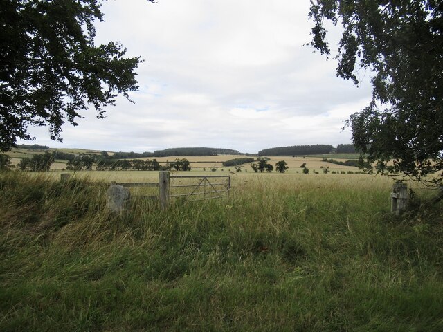
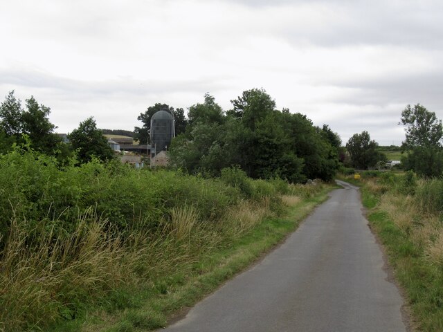
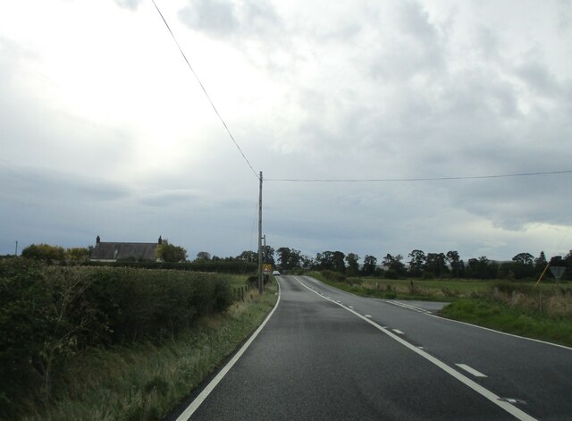
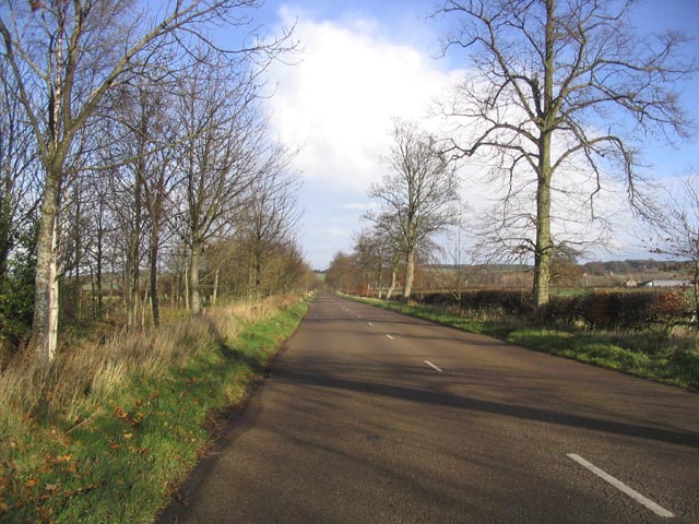
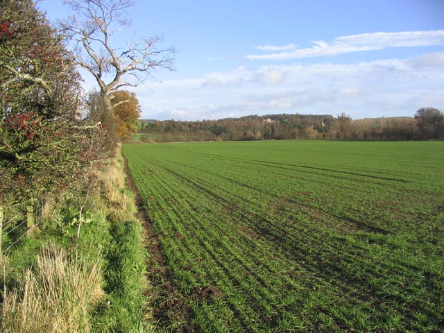
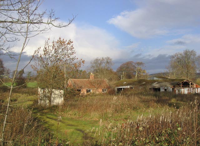
Floddenford Plantation is a picturesque woodland located in Northumberland, England. Covering an area of approximately 500 acres, it is nestled in the heart of the beautiful Northumberland countryside. The plantation is known for its dense and diverse tree population, with a wide variety of species including oak, ash, beech, and birch.
The woodland is a haven for wildlife, providing a habitat for numerous species of birds, mammals, and insects. Birdwatchers frequent Floddenford to catch a glimpse of the rare and elusive species that call the plantation home, such as the lesser spotted woodpecker and the red kite. The woodland floor is adorned with a vibrant carpet of wildflowers during the spring and summer months, attracting butterflies and bees.
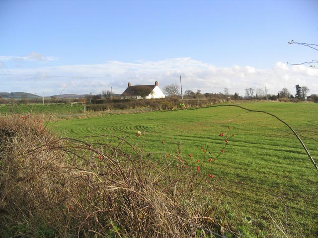
Floddenford Plantation also holds historical significance. The area was the site of the Battle of Flodden in 1513, where an English army led by King James IV of Scotland fought against an English army led by King Henry VIII. The battle resulted in a decisive victory for the English, but it also claimed the lives of thousands of soldiers from both sides. Today, visitors can explore the battlefield and find remnants of the past, such as ancient stone markers and memorial plaques.
The plantation is a popular destination for nature enthusiasts, hikers, and history buffs alike. Its tranquil atmosphere and stunning natural beauty make it an ideal spot for outdoor activities such as walking, picnicking, and wildlife photography. Floddenford Plantation truly offers a captivating blend of nature and history in the heart of Northumberland.
If you have any feedback on the listing, please let us know in the comments section below.
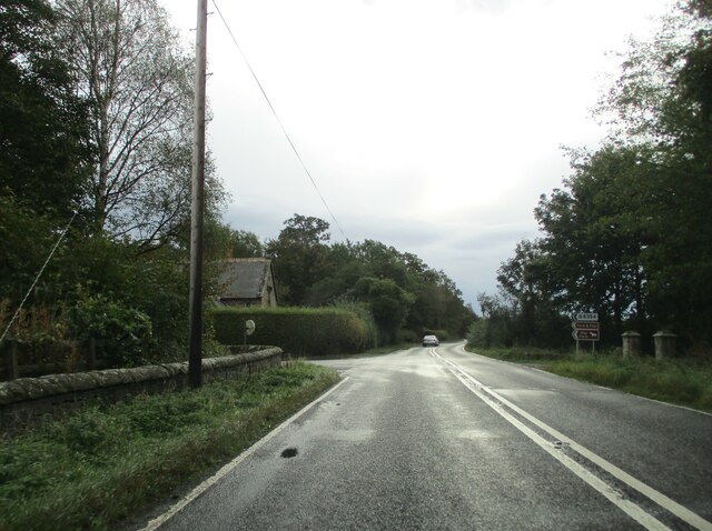
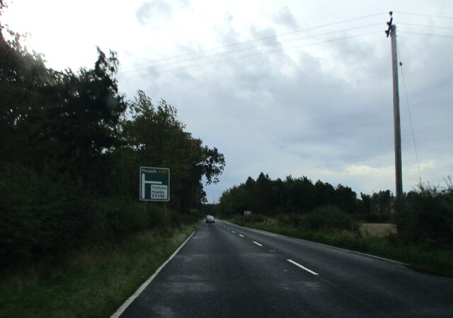
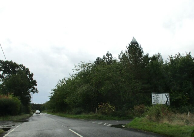
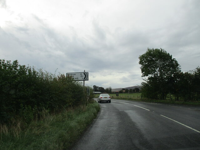
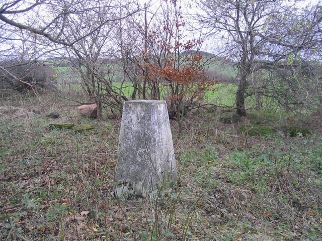
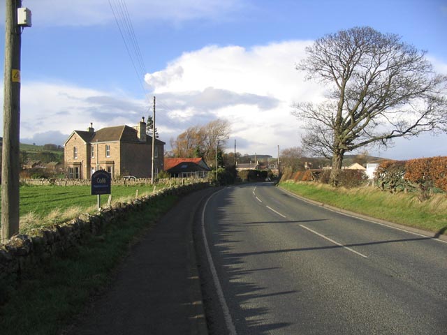
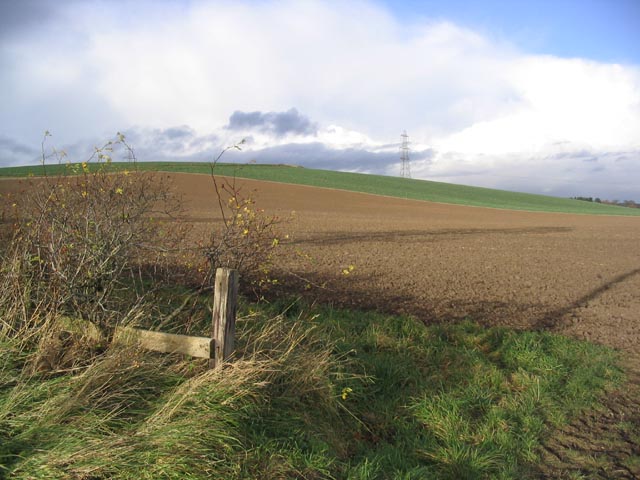
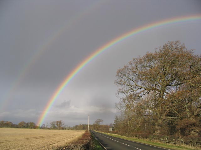
Floddenford Plantation Images
Images are sourced within 2km of 55.613001/-2.1023999 or Grid Reference NT9335. Thanks to Geograph Open Source API. All images are credited.
Floddenford Plantation is located at Grid Ref: NT9335 (Lat: 55.613001, Lng: -2.1023999)
Unitary Authority: Northumberland
Police Authority: Northumbria
What 3 Words
///lungs.slave.hologram. Near Ford, Northumberland
Related Wikis

Maelmin Henge
Maelmin Henge is modern interpretation/reconstruction of a henge monument near the village of Milfield, Northumberland in the Till Valley.It was built...

Glendale, Northumberland
Glendale is the name of a valley in North Northumberland that runs from the Cheviot Hills at Kirknewton onto the Milfield Plain, formed by the River Glen...

Milfield
Milfield is a village in Northumberland, England about 3 miles (5 km) northwest of Wooler. The A697 road passes through the village. == History == Milfield...

Ford Castle
Ford Castle is a Grade I listed building situated at a shallow crossing point on the River Till, Ford, Northumberland, England. The castle dates from about...
Nearby Amenities
Located within 500m of 55.613001,-2.1023999Have you been to Floddenford Plantation?
Leave your review of Floddenford Plantation below (or comments, questions and feedback).