Centre Coxon Wood
Wood, Forest in Northumberland
England
Centre Coxon Wood
Centre Coxon Wood is a picturesque woodland located in the county of Northumberland, England. Stretching over an area of approximately 100 hectares, this woodland is a natural haven for wildlife and a popular destination for outdoor enthusiasts.
The wood is known for its diverse range of tree species, including oak, beech, and birch, which create a stunning canopy of greenery throughout the year. The woodland floor is covered in a rich carpet of wildflowers, adding to the enchanting atmosphere. Centre Coxon Wood is particularly renowned for its bluebell displays in the spring, attracting numerous visitors who come to witness the vibrant burst of color.
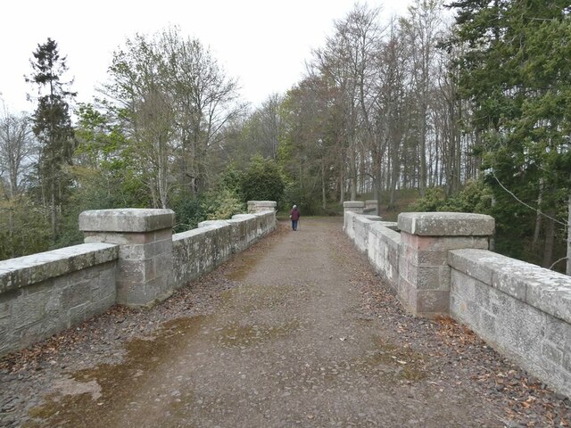
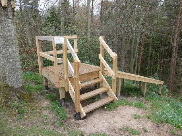
The wood is crisscrossed with a network of well-maintained trails, making it an ideal location for walking, hiking, and cycling. These trails offer visitors the opportunity to explore the wood's hidden corners and discover its abundant flora and fauna. Birdwatchers will delight in the variety of avian species that call Centre Coxon Wood home, including woodpeckers, warblers, and owls.
The woodland is also home to a small visitor center, providing information about the wood's history, wildlife, and conservation efforts. It serves as a hub for educational activities and guided tours, catering to school groups and nature enthusiasts alike.
Centre Coxon Wood offers a peaceful retreat from the hustle and bustle of everyday life, providing a tranquil setting for relaxation, nature observation, and outdoor recreation. With its captivating beauty and ecological significance, it is no wonder that Centre Coxon Wood remains a cherished natural gem in Northumberland.
If you have any feedback on the listing, please let us know in the comments section below.
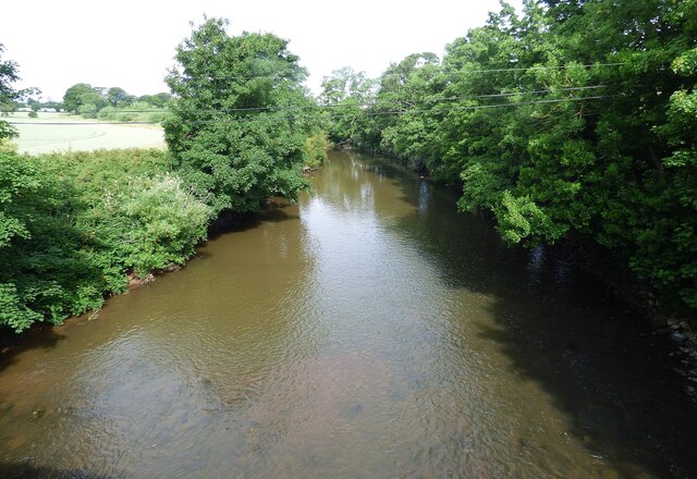
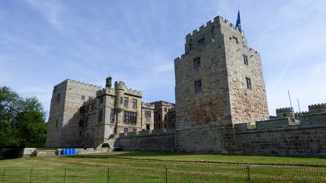
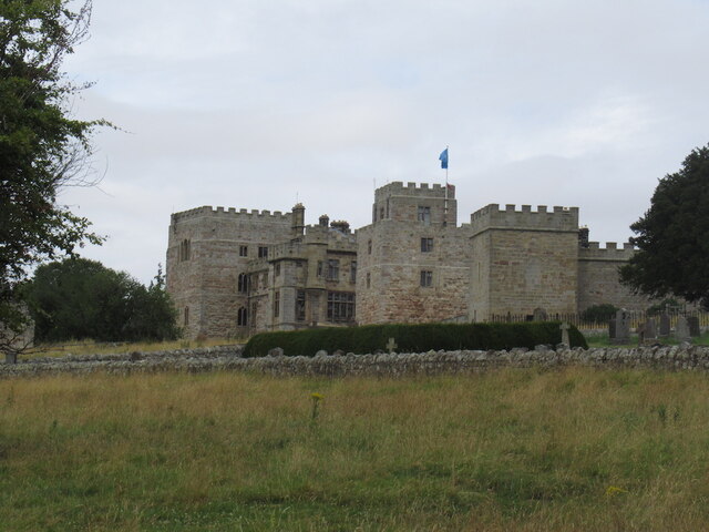
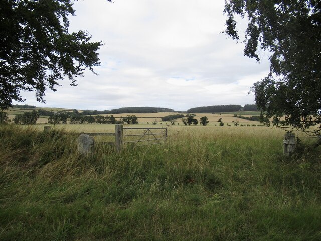
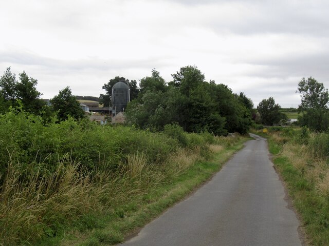
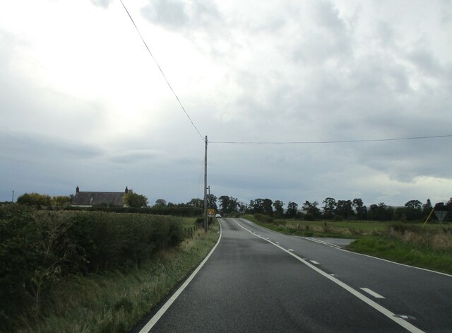
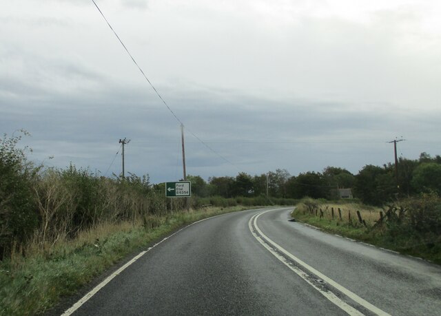
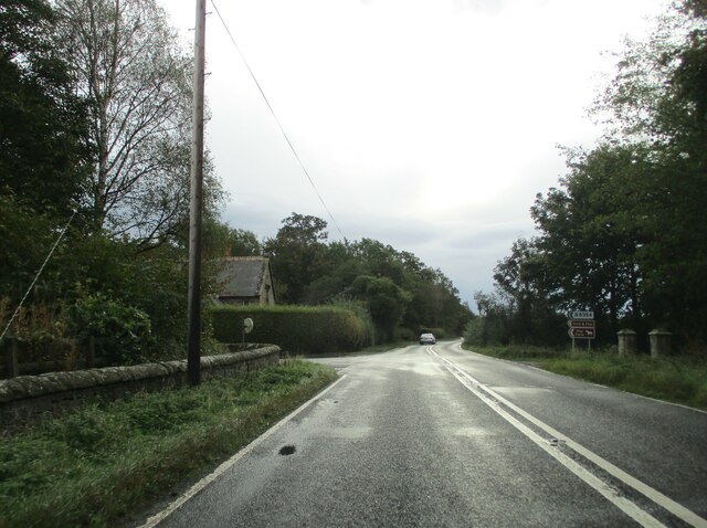
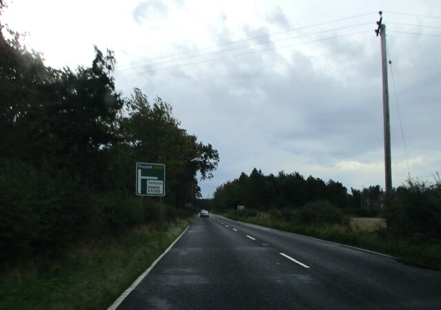
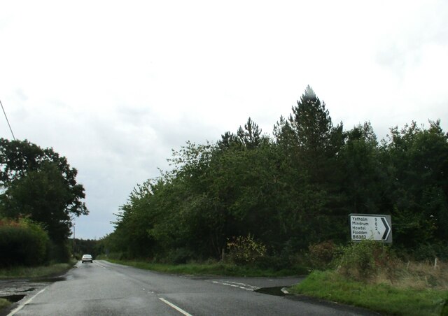
Centre Coxon Wood Images
Images are sourced within 2km of 55.614818/-2.099801 or Grid Reference NT9335. Thanks to Geograph Open Source API. All images are credited.
Centre Coxon Wood is located at Grid Ref: NT9335 (Lat: 55.614818, Lng: -2.099801)
Unitary Authority: Northumberland
Police Authority: Northumbria
What 3 Words
///pebbles.averages.gratitude. Near Ford, Northumberland
Related Wikis

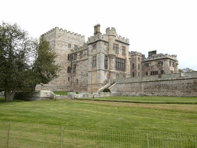
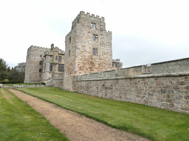
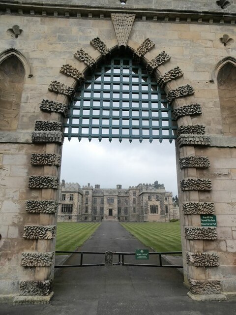
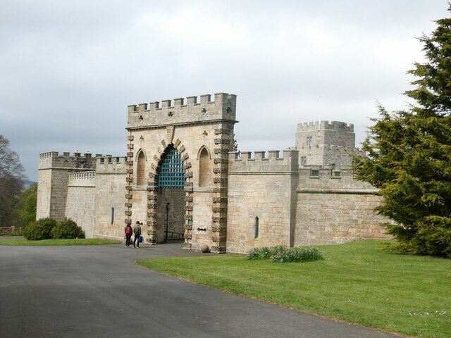
Ford Castle
Ford Castle is a Grade I listed building situated at a shallow crossing point on the River Till, Ford, Northumberland, England. The castle dates from about...

Ford, Northumberland
Ford is a small village and civil parish in Northumberland, England, about 13 miles (21 km) from Berwick-upon-Tweed. The parish also includes Etal. �...

Maelmin Henge
Maelmin Henge is modern interpretation/reconstruction of a henge monument near the village of Milfield, Northumberland in the Till Valley. It was built...

Lady Waterford Hall
Lady Waterford Hall is the former village school of the estate village of Ford, Northumberland. It is now used as the village hall and is a Grade II* listed...
Have you been to Centre Coxon Wood?
Leave your review of Centre Coxon Wood below (or comments, questions and feedback).