Grassy Wood
Wood, Forest in Northumberland
England
Grassy Wood
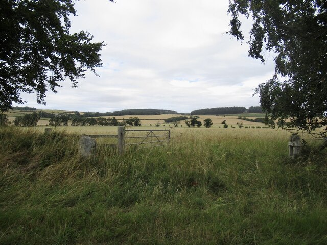
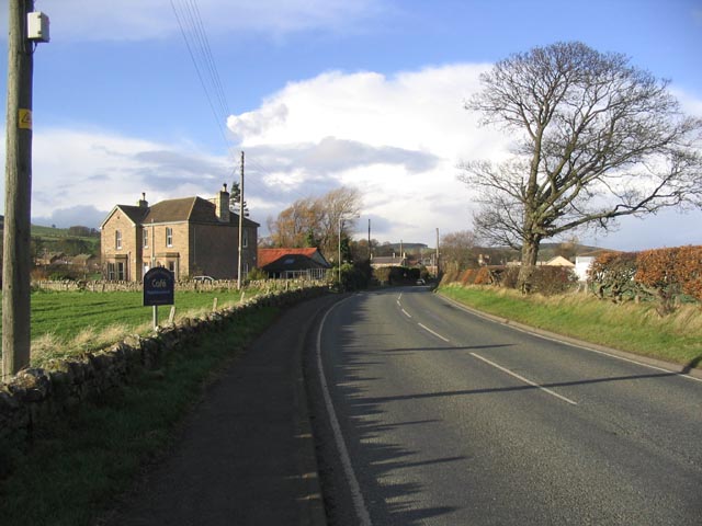
Grassy Wood is a picturesque forest located in the county of Northumberland, England. Covering an area of approximately 500 acres, it is a popular destination for nature enthusiasts and outdoor enthusiasts alike. The wood is situated in close proximity to the village of Grassy, lending its name to the forest.
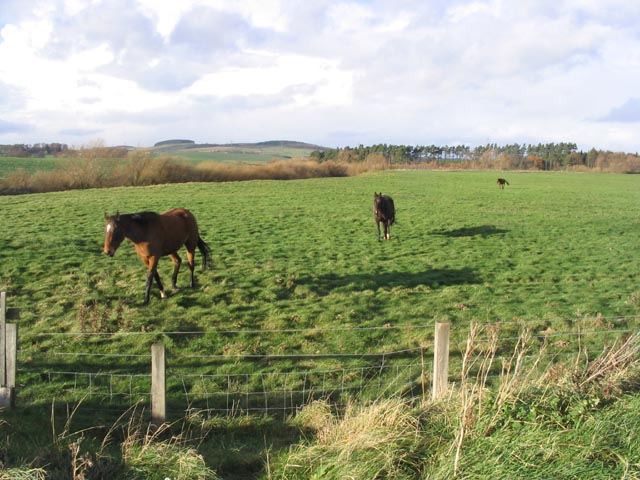
As its name suggests, Grassy Wood is characterized by its lush greenery and abundance of grassy meadows. The forest is predominantly composed of deciduous trees, such as oak, beech, and birch, which create a rich and diverse ecosystem. The dense canopy provides a haven for a wide variety of wildlife, including deer, foxes, and various bird species.
Walking trails wind their way through the forest, offering visitors the opportunity to explore the natural beauty of Grassy Wood. The pathways are well-maintained and suitable for individuals of all fitness levels. Along the trails, visitors can expect to encounter vibrant wildflowers in the spring and summer months, adding to the visual charm of the wood.
Additionally, there are several picnic areas scattered throughout Grassy Wood, making it an ideal spot for families and groups to enjoy a leisurely outdoor meal. The peaceful ambiance and tranquil surroundings create a serene atmosphere, allowing visitors to unwind and connect with nature.
Overall, Grassy Wood in Northumberland offers a serene and picturesque escape from the hustle and bustle of everyday life. With its diverse flora and fauna, well-maintained trails, and ample picnic spots, it is an ideal destination for those seeking a peaceful retreat in the heart of nature.
If you have any feedback on the listing, please let us know in the comments section below.
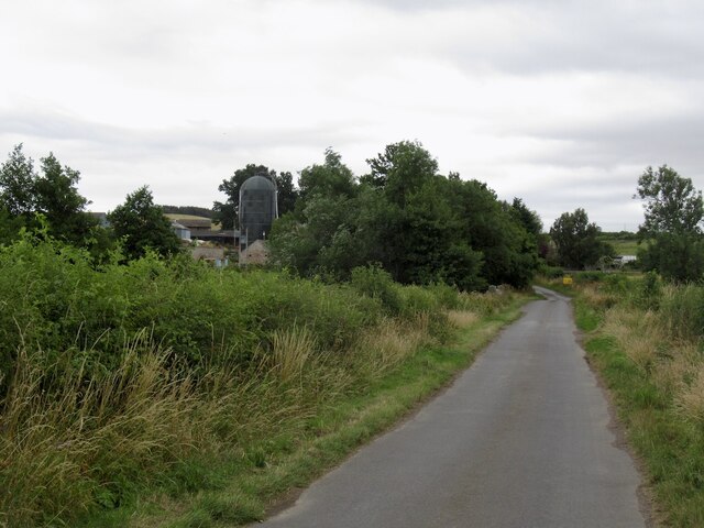
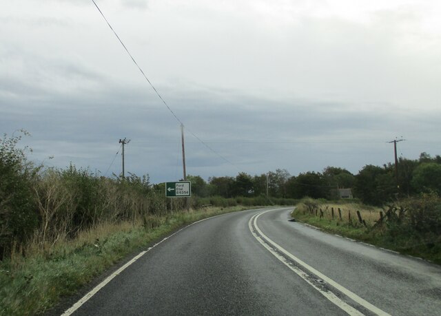
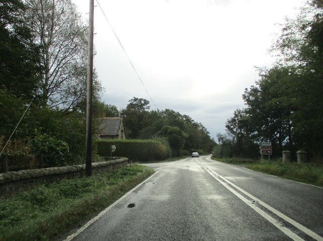
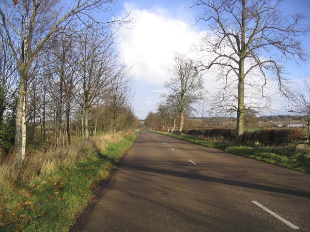
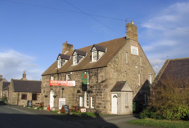
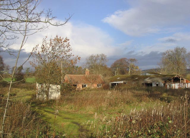
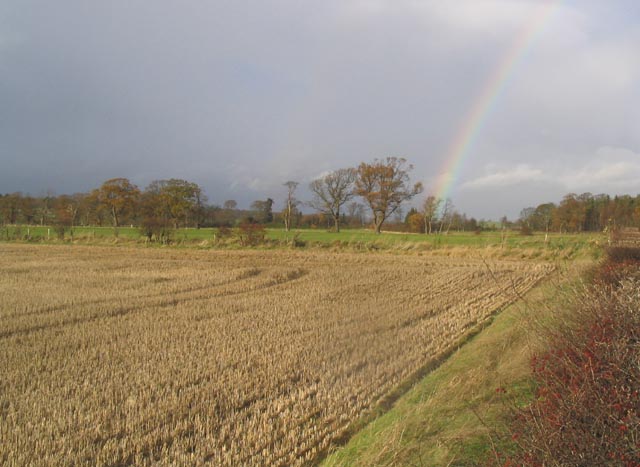
Grassy Wood Images
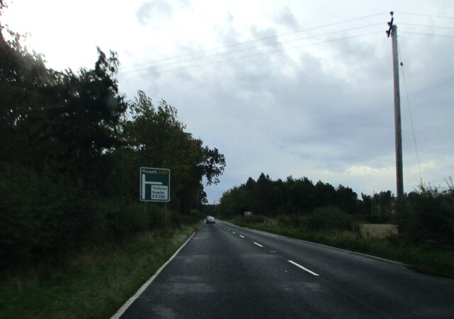
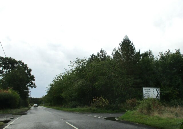
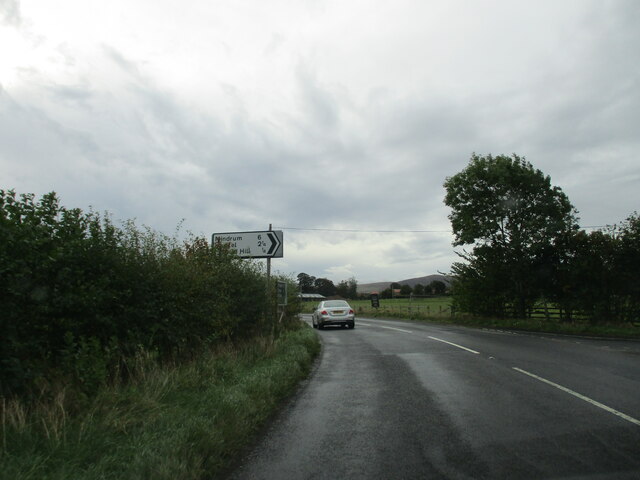
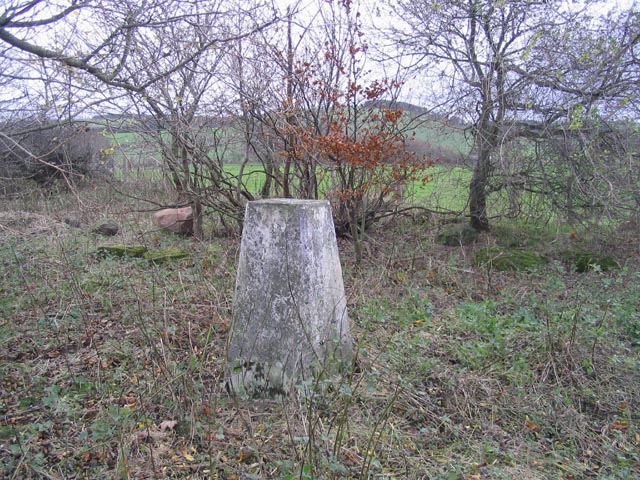
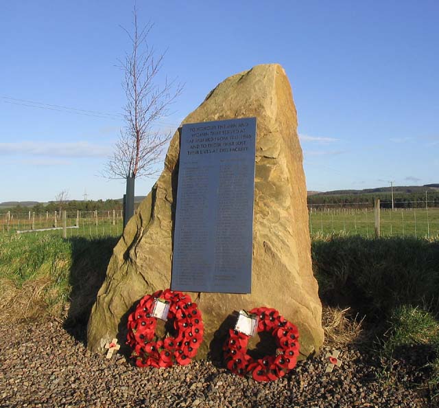
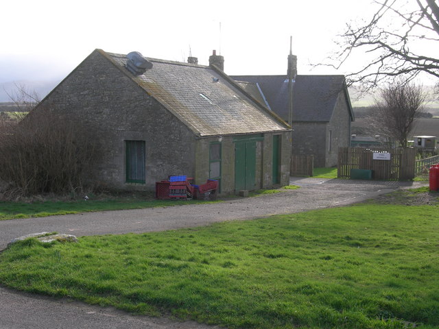
Images are sourced within 2km of 55.610938/-2.0983465 or Grid Reference NT9335. Thanks to Geograph Open Source API. All images are credited.
Grassy Wood is located at Grid Ref: NT9335 (Lat: 55.610938, Lng: -2.0983465)
Unitary Authority: Northumberland
Police Authority: Northumbria
What 3 Words
///obliging.prowess.bliss. Near Ford, Northumberland
Related Wikis

Maelmin Henge
Maelmin Henge is modern interpretation/reconstruction of a henge monument near the village of Milfield, Northumberland in the Till Valley. It was built...

Glendale, Northumberland
Glendale is the name of a valley in North Northumberland that runs from the Cheviot Hills at Kirknewton onto the Milfield Plain, formed by the River Glen...

Milfield
Milfield is a village in Northumberland, England about 3 miles (5 km) northwest of Wooler. The A697 road passes through the village. == History == Milfield...

Ford Castle
Ford Castle is a Grade I listed building situated at a shallow crossing point on the River Till, Ford, Northumberland, England. The castle dates from about...
Have you been to Grassy Wood?
Leave your review of Grassy Wood below (or comments, questions and feedback).