Hipkins's Coppice
Wood, Forest in Worcestershire Bromsgrove
England
Hipkins's Coppice
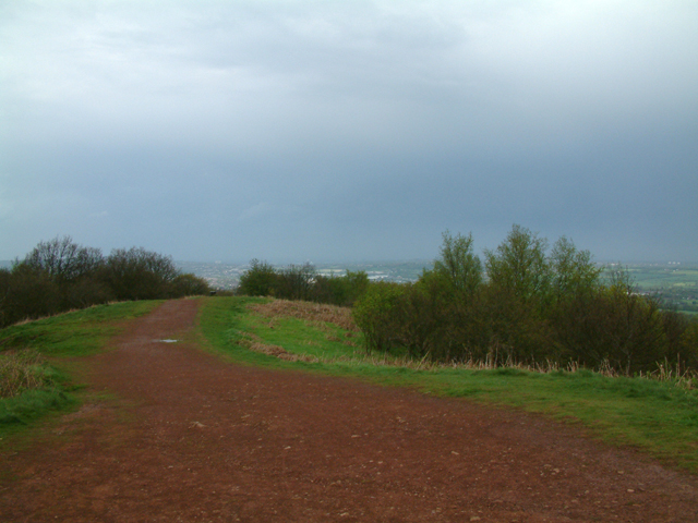
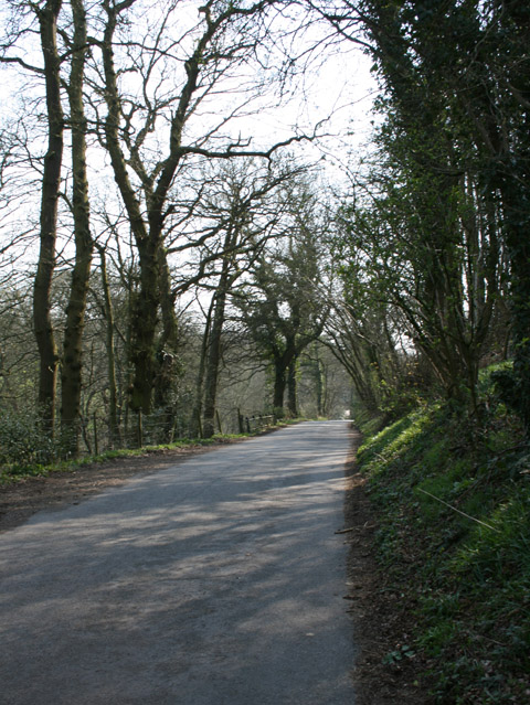
Hipkins's Coppice is a picturesque woodland located in Worcestershire, England. Spread across a sprawling area, this enchanting forest is known for its dense canopy of trees, diverse flora and fauna, and tranquil atmosphere. The coppice is named after the Hipkins family, who have been custodians of the land for generations.
The woodland is predominantly composed of oak, ash, and beech trees, which provide a rich habitat for a variety of wildlife species. The forest floor is adorned with a carpet of wildflowers and ferns, creating a vibrant and colorful setting. The serene ambiance of Hipkins's Coppice attracts nature enthusiasts, hikers, and birdwatchers alike.
The wood is intersected by a network of well-maintained footpaths, allowing visitors to explore its depths and revel in its natural beauty. The trails wind through ancient trees, offering glimpses of hidden ponds and streams that add to the area's allure. Wildlife such as deer, foxes, badgers, and various bird species can often be spotted amidst the woodland, making it a haven for wildlife enthusiasts.
Hipkins's Coppice is not only a recreational destination but also serves as an important ecosystem that contributes to the local biodiversity. The forest is carefully managed to maintain its ecological balance and preserve its unique features.
Overall, Hipkins's Coppice in Worcestershire is a captivating woodland that offers visitors a chance to reconnect with nature and immerse themselves in its serene ambiance. Whether one seeks solitude, adventure, or a peaceful stroll amidst ancient trees, this forest provides a truly enchanting experience.
If you have any feedback on the listing, please let us know in the comments section below.
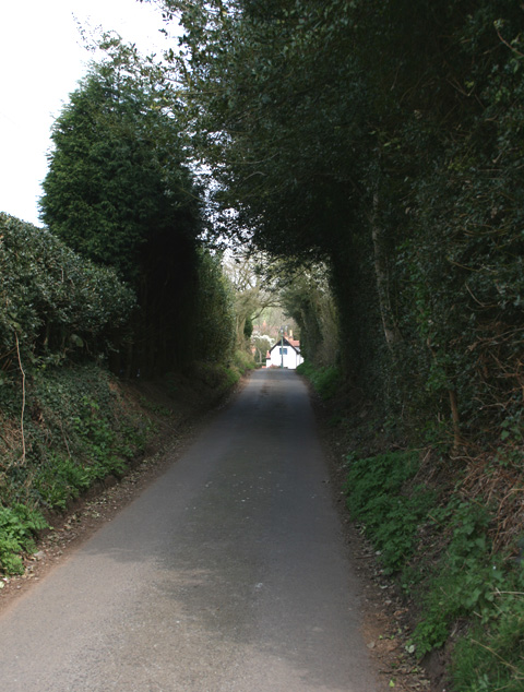
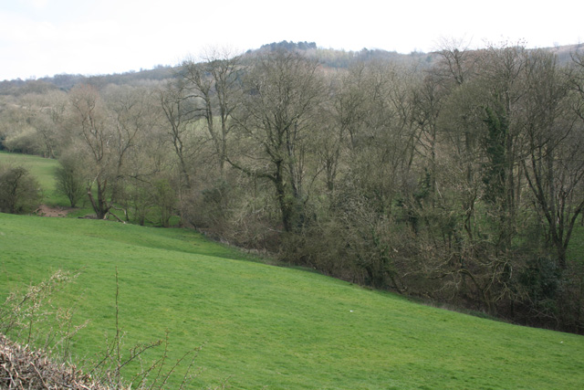
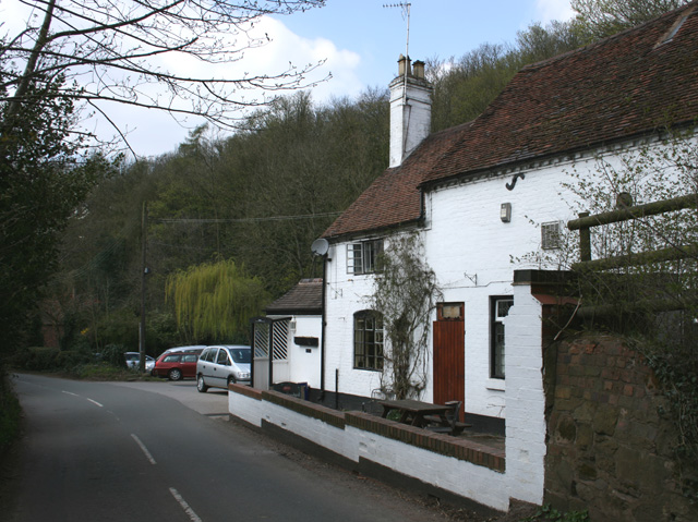
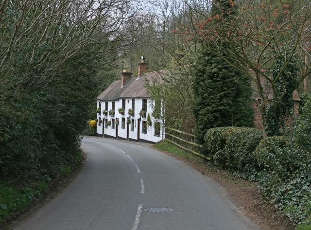
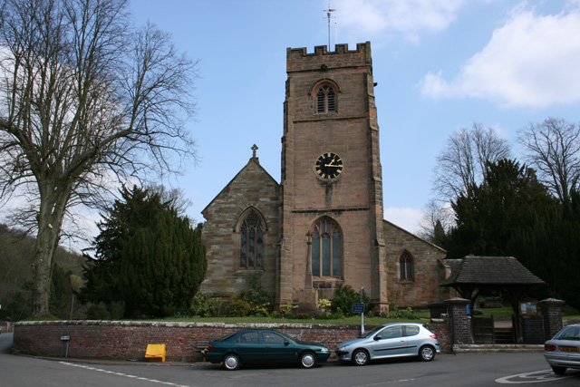
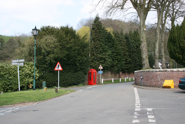
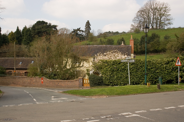
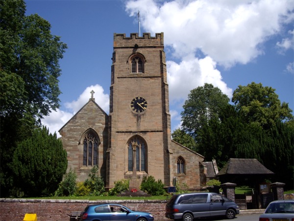
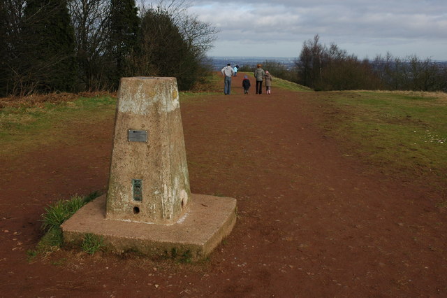
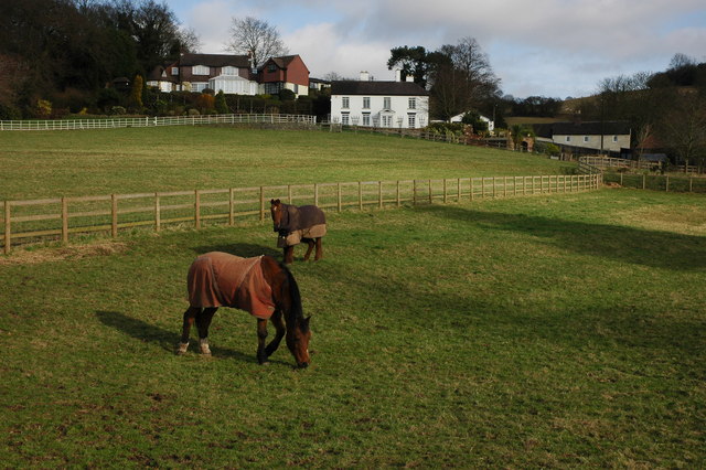
Hipkins's Coppice Images
Images are sourced within 2km of 52.416679/-2.0947756 or Grid Reference SO9379. Thanks to Geograph Open Source API. All images are credited.
Hipkins's Coppice is located at Grid Ref: SO9379 (Lat: 52.416679, Lng: -2.0947756)
Administrative County: Worcestershire
District: Bromsgrove
Police Authority: West Mercia
What 3 Words
///coats.skinny.peanut. Near Hagley, Worcestershire
Nearby Locations
Related Wikis

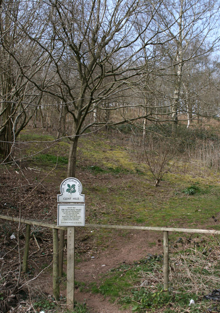
Clent Hills
The Clent Hills lie 10 miles (16 km) south-west of Birmingham city centre in Clent, Worcestershire, England. The closest towns are Stourbridge and Halesowen...

Walton Hill
At 316 metres (1,037 ft) above sea level, Walton Hill is the highest point in the range of hills in northern Worcestershire known as the Clent Hills. It...

Castle in Hagley Park
The folly castle in the park of Hagley Hall is a Grade II* listed building and the largest building in Hagley Park. It was designed by Sanderson Miller...

Clent Castle
Clent Castle is a sham ruin castellated folly in the grounds of Clent Grove (the site of Sunfield Children's Home) that is situated opposite the Fountain...

Sunfield Children's Home
Sunfield is a private special school, Children's Home and charity on the border of Worcestershire and the West Midlands in England. It was founded in 1930...

Clent
Clent is a village and civil parish in the Bromsgrove District of Worcestershire, England, southwest of Birmingham and close to the edge of the West Midlands...

Hagley Park, Worcestershire
Hagley Park is the estate of Hagley Hall in Worcestershire, England. The grounds comprise 350 acres (1.4 km2) of undulating deer park on the lower slopes...

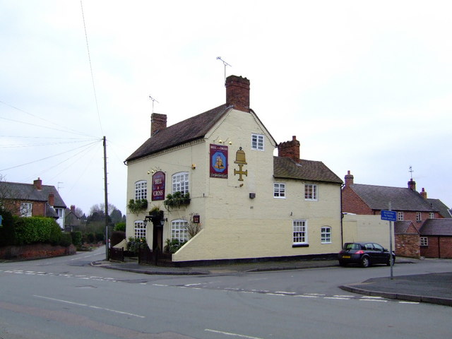
Holy Cross, Worcestershire
Holy Cross is one of five hamlets in village of Clent in the county of Worcestershire, England. The hamlet consists of housing apart from the Bell and...
Nearby Amenities
Located within 500m of 52.416679,-2.0947756Have you been to Hipkins's Coppice?
Leave your review of Hipkins's Coppice below (or comments, questions and feedback).