Moors Coppice
Wood, Forest in Worcestershire Bromsgrove
England
Moors Coppice
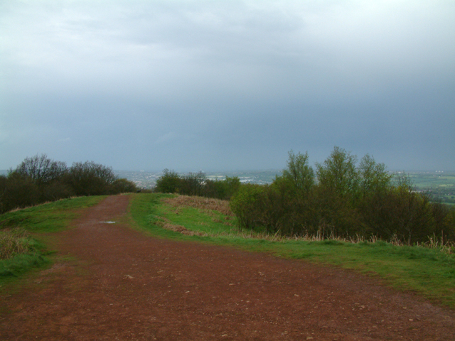
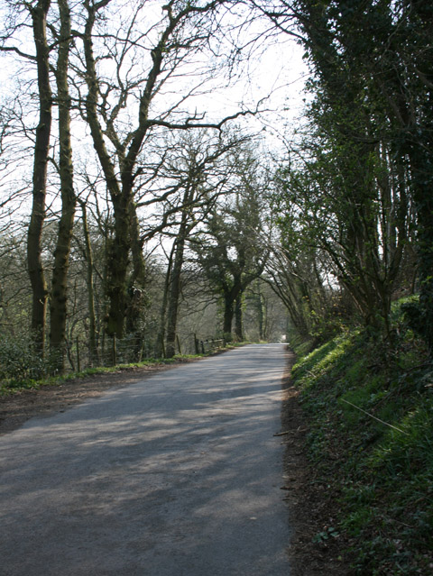
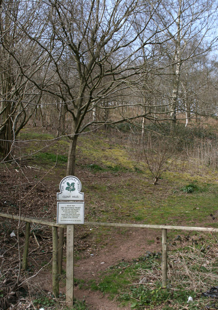
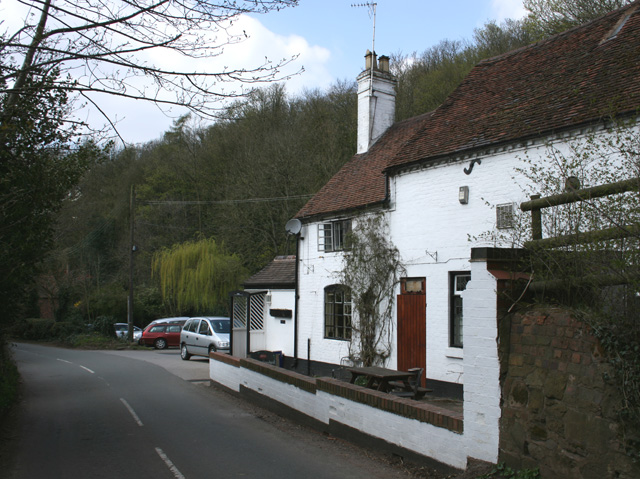
Moors Coppice is a picturesque wood located in Worcestershire, England. Situated near the town of Bewdley, it covers an area of approximately 50 hectares and is a popular destination for nature lovers and outdoor enthusiasts.
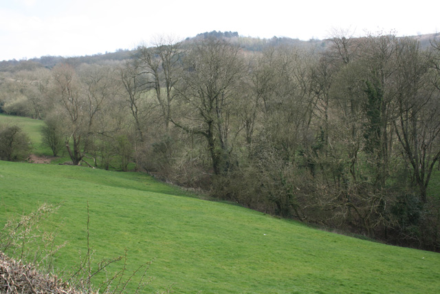
The wood is predominantly composed of mature broadleaf trees, including oak, beech, and ash, which create a dense canopy and provide a habitat for numerous species of plants and wildlife. The forest floor is adorned with a rich variety of wildflowers, adding bursts of color throughout the seasons.
Moors Coppice is carefully managed by local authorities to ensure its preservation and conservation. Regular maintenance work, such as tree thinning and selective felling, is carried out to maintain a healthy and diverse woodland ecosystem. This management approach also allows for the growth of younger trees, promoting a sustainable woodland for future generations.
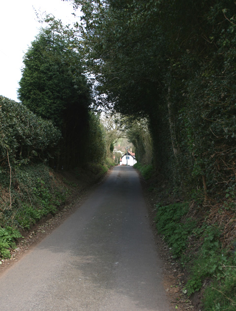
Visitors to Moors Coppice can enjoy a network of well-maintained footpaths and trails that wind through the wood, offering opportunities for leisurely walks, jogging, or cycling. The peaceful atmosphere and tranquil surroundings make it an ideal location for nature photography or simply unwinding amidst nature.
The wood is also home to a variety of wildlife, including deer, squirrels, and a wide range of bird species. Birdwatchers can spot woodpeckers, blue tits, and chiffchaffs among the trees, while lucky visitors may catch a glimpse of a fox or badger darting through the undergrowth.
Moors Coppice provides a valuable green space for locals and visitors to connect with nature and experience the beauty and serenity of Worcestershire's woodlands.
If you have any feedback on the listing, please let us know in the comments section below.
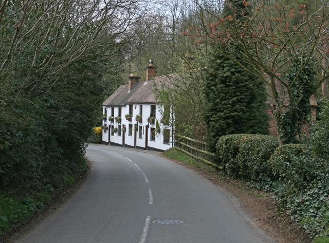
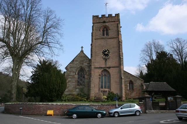
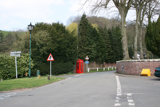
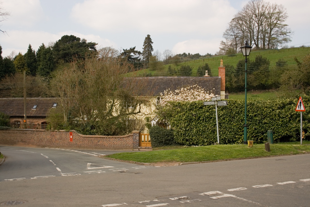
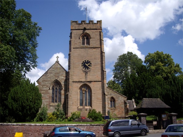
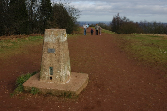
Moors Coppice Images
Images are sourced within 2km of 52.413874/-2.0958722 or Grid Reference SO9379. Thanks to Geograph Open Source API. All images are credited.
Moors Coppice is located at Grid Ref: SO9379 (Lat: 52.413874, Lng: -2.0958722)
Administrative County: Worcestershire
District: Bromsgrove
Police Authority: West Mercia
What 3 Words
///oven.return.yoga. Near Hagley, Worcestershire
Nearby Locations
Related Wikis

Clent Hills
The Clent Hills lie 10 miles (16 km) south-west of Birmingham city centre in Clent, Worcestershire, England. The closest towns are Stourbridge and Halesowen...

Walton Hill
At 316 metres (1,037 ft) above sea level, Walton Hill is the highest point in the range of hills in northern Worcestershire known as the Clent Hills. It...

Clent Castle
Clent Castle is a sham ruin castellated folly in the grounds of Clent Grove (the site of Sunfield Children's Home) that is situated opposite the Fountain...

Clent
Clent is a village and civil parish in the Bromsgrove District of Worcestershire, England, southwest of Birmingham and close to the edge of the West Midlands...

Castle in Hagley Park
The folly castle in the park of Hagley Hall is a Grade II* listed building and the largest building in Hagley Park. It was designed by Sanderson Miller...

Sunfield Children's Home
Sunfield is a private special school, Children's Home and charity on the border of Worcestershire and the West Midlands in England. It was founded in 1930...

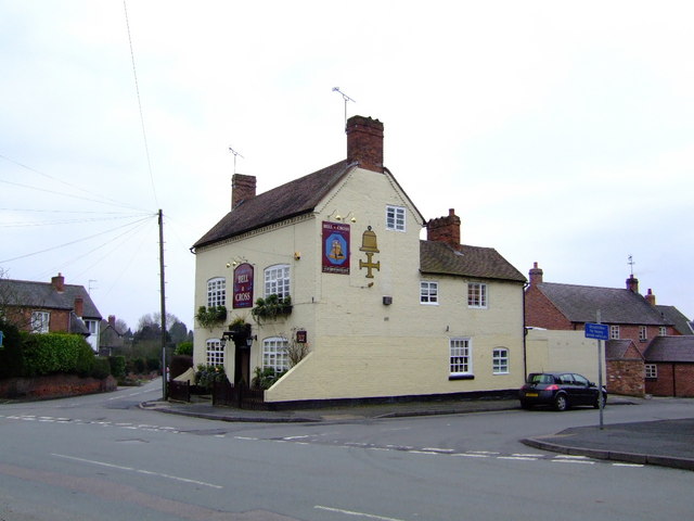
Holy Cross, Worcestershire
Holy Cross is one of five hamlets in village of Clent in the county of Worcestershire, England. The hamlet consists of housing apart from the Bell and...

Bromsgrove (UK Parliament constituency)
Bromsgrove is a constituency in Worcestershire represented in the House of Commons of the UK Parliament since 2010 by Sajid Javid of the Conservative Party...
Nearby Amenities
Located within 500m of 52.413874,-2.0958722Have you been to Moors Coppice?
Leave your review of Moors Coppice below (or comments, questions and feedback).