Low Beldon Plantation
Wood, Forest in Northumberland
England
Low Beldon Plantation
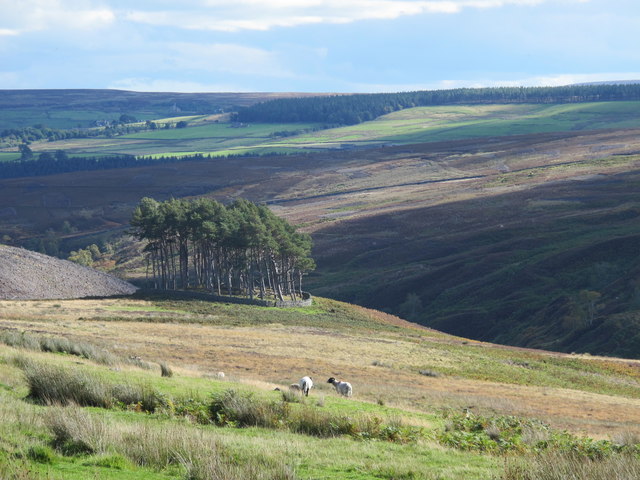
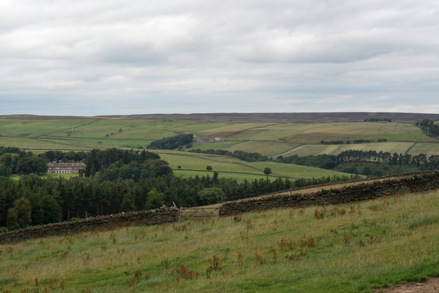
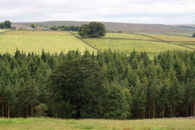
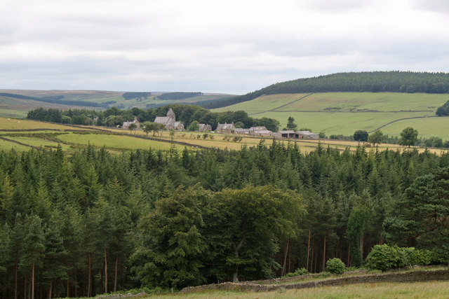
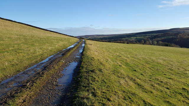
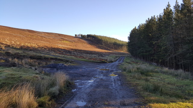
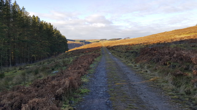
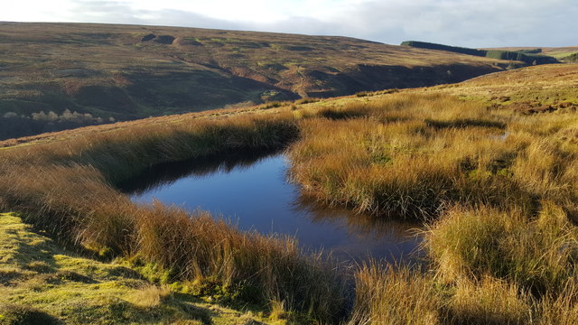
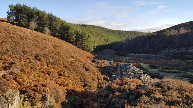
Low Beldon Plantation is a captivating woodland area located in Northumberland, England. Nestled amidst the picturesque landscape of the region, this plantation covers a vast expanse of land, offering visitors a serene and tranquil atmosphere.
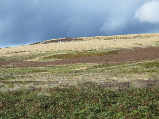
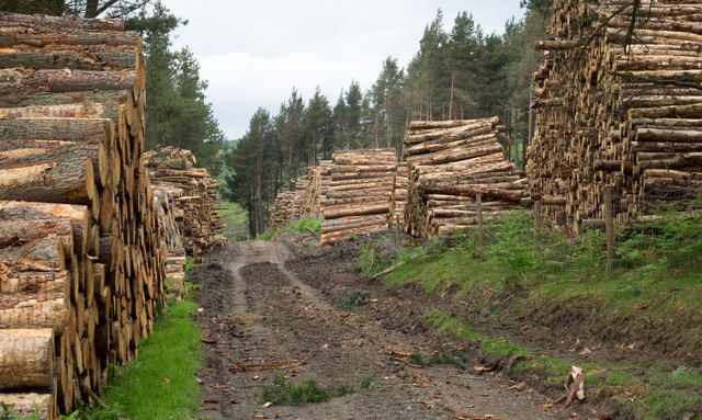
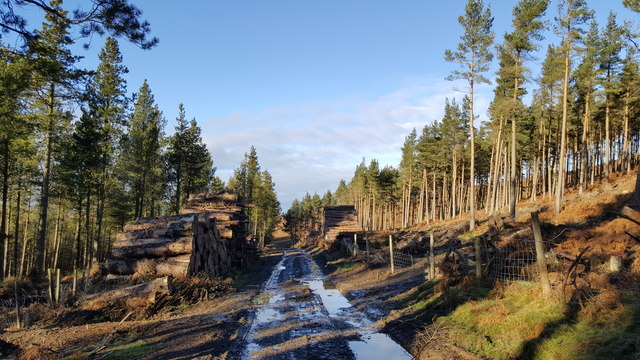
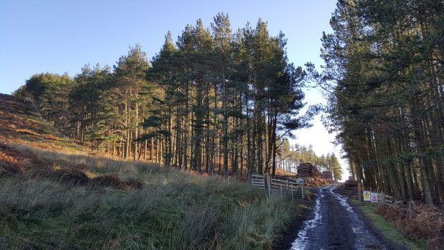
The plantation is renowned for its rich and diverse woodland, consisting primarily of deciduous trees such as oak, birch, and beech. These trees create a dense canopy, filtering sunlight and creating a cool and shaded environment. The forest floor is covered in a lush carpet of ferns, mosses, and wildflowers, adding to the enchanting beauty of the area.
Low Beldon Plantation is home to a variety of wildlife, providing a haven for numerous species. Visitors may encounter a range of bird species, including woodpeckers, owls, and songbirds, as they explore the woodland trails. The plantation also supports a thriving population of mammals, with sightings of deer, foxes, and rabbits being quite common.
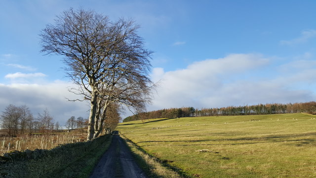
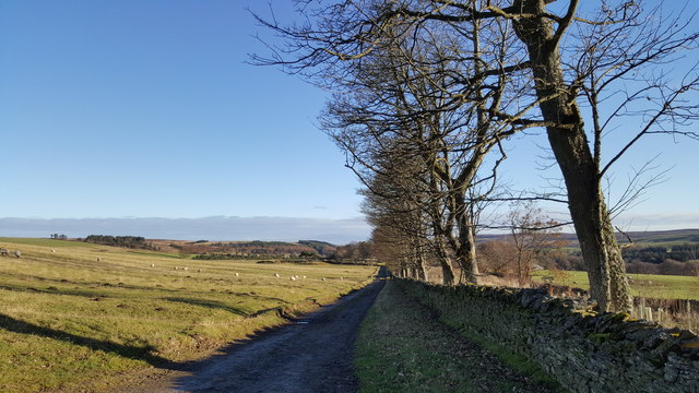
The plantation offers several well-maintained walking trails, allowing visitors to explore the area at their own pace. These trails meander through the woodland, offering breathtaking views of the surrounding countryside. The peacefulness and tranquility of the plantation make it an ideal destination for nature lovers, hikers, and photographers alike.
Low Beldon Plantation is open to the public year-round, providing a serene escape from the hustle and bustle of everyday life. Whether one is seeking a peaceful walk in nature, a chance to observe wildlife, or simply a moment of solitude, this enchanting woodland offers a truly unforgettable experience.
If you have any feedback on the listing, please let us know in the comments section below.
Low Beldon Plantation Images
Images are sourced within 2km of 54.838712/-2.1015152 or Grid Reference NY9349. Thanks to Geograph Open Source API. All images are credited.

Low Beldon Plantation is located at Grid Ref: NY9349 (Lat: 54.838712, Lng: -2.1015152)
Unitary Authority: Northumberland
Police Authority: Northumbria
What 3 Words
///justifies.loaning.blissful. Near Slaley, Northumberland
Nearby Locations
Related Wikis

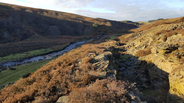
Beldon Burn
Beldon Burn is a headwater stream of the River Derwent in Northumberland and County Durham, England.It rises at Quickcleugh Moss as the Quickcleugh Burn...

Townfield
Townfield is a village in County Durham, in England. It is situated just to the south of Hunstanworth and part of that parish, about 10 miles (16 km) west...
Baybridge, Northumberland
Baybridge is a small village in Northumberland, England, just to the west of Blanchland and on the border with County Durham. It is situated to the west...

Hunstanworth
Hunstanworth is a village in County Durham, England. It is situated approximately 10 miles to the west of Consett, south-west of the village of Blanchland...
Related Videos

Harrison's Cross Blanchland
As far as I can tell, this cross like structure has no significant meaning, and was probably built to protect animals from the high ...

Baybridge ~ Newbiggin Fell ~ Nookton Fell loop with iWalksNE ~ 10.2 miles ~ Glorious!
Who would have thought a day after the battering of Storm Babet we would have clear-blue skies and perfect walking weather and ...

Exploring Blanchland, Northumberland Northen England.
I really enjoy my ride to Blanchland and I will be exploring more of Northumberland in the next few months so I hope you will like ...

Blanchland & Slaley Forest, Northumberland - 6 March 2023
A 10 mile walk from Blanchland. The route heads east along the River Derwent until it reaches the Derwent Reservoir. Here the ...
Nearby Amenities
Located within 500m of 54.838712,-2.1015152Have you been to Low Beldon Plantation?
Leave your review of Low Beldon Plantation below (or comments, questions and feedback).