Ferris Gate Covert

Wood, Forest in Gloucestershire Stroud

England

Ferris Gate Covert

Grade II (star) listed Bear Inn, Bisley The earliest part of the building dates from the early 17th century. 
Formerly an assembly room and courthouse - the manor court met here
between 1766 and 1838. The former village lock-up is nearby. <a title="https://www.geograph.org.uk/photo/6031691" href="https://www.geograph.org.uk/photo/6031691">Link</a> Grade II (star) listed in 1960.
Grade II (star) listed Bear Inn, Bisley Credit: Jaggery

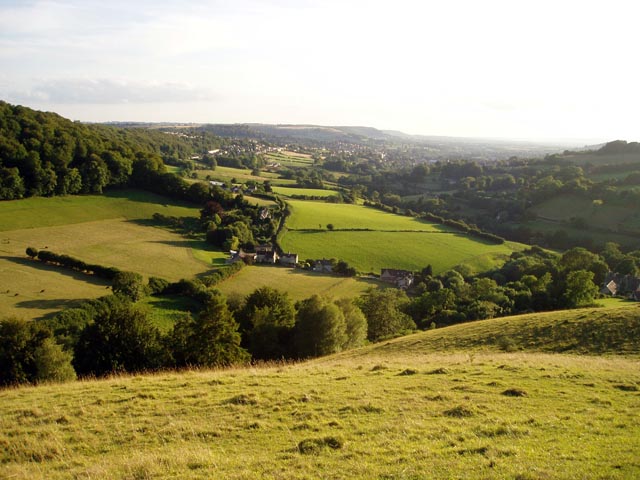
Ferris Gate Covert is a woodland area located in the county of Gloucestershire, England. Situated within the larger Forest of Dean, this covert spans an approximate area of 200 acres. The woodland is characterized by a rich variety of tree species, including oak, beech, and ash, among others. The dense vegetation and towering trees create a lush and serene environment, attracting nature enthusiasts, hikers, and birdwatchers alike.

The woodland is known for its diverse wildlife population, with numerous species of birds, mammals, and insects calling it home. Visitors to Ferris Gate Covert may spot common woodland animals such as deer, foxes, and badgers, as well as various bird species including woodpeckers, owls, and songbirds. The dense undergrowth provides a flourishing habitat for smaller creatures like rabbits and squirrels.

Walking trails wind through the woodland, offering visitors the opportunity to explore its natural beauty at their leisure. The paths are well-maintained and provide access to different areas of the covert, allowing visitors to fully immerse themselves in the peaceful surroundings. Along the trails, informative signage highlights points of interest and provides educational insights into the local flora and fauna.

Ferris Gate Covert is a popular destination for those seeking a tranquil escape from the hustle and bustle of everyday life. Whether it be a leisurely stroll, a picnic among nature, or simply a chance to observe and appreciate the wildlife, this woodland sanctuary is a haven for outdoor enthusiasts and nature lovers alike.

If you have any feedback on the listing, please let us know in the comments section below.

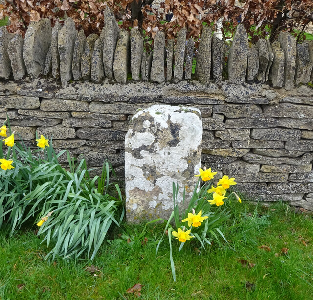
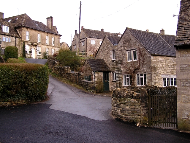
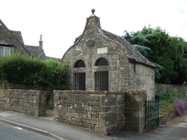
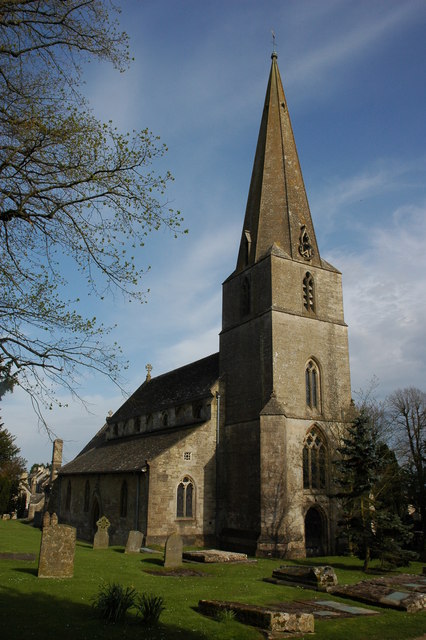
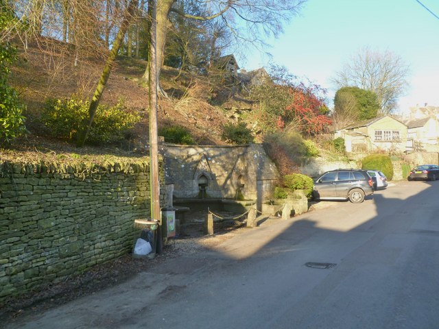
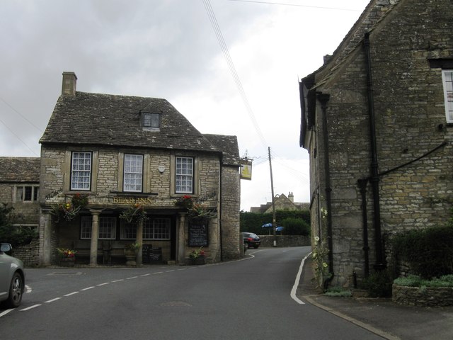
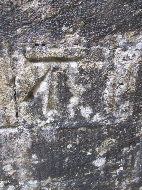
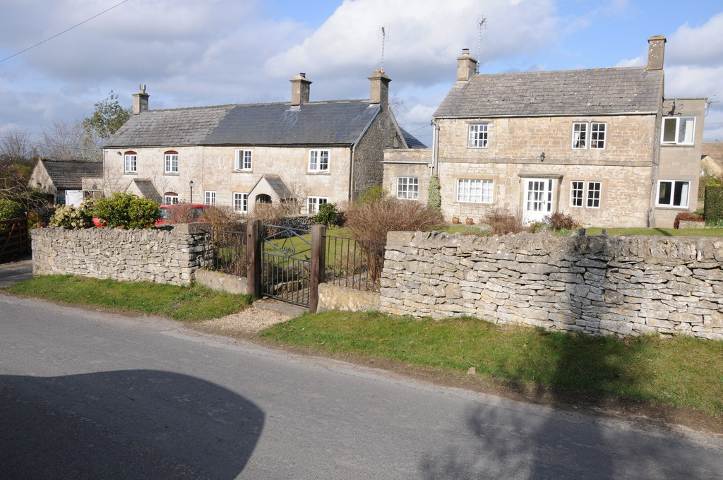
Ferris Gate Covert Images

Images are sourced within 2km of 51.74679/-2.168509 or Grid Reference SO8805. Thanks to Geograph Open Source API. All images are credited.

Grade II (star) listed Bear Inn, Bisley The earliest part of the building dates from the early 17th century. 
Formerly an assembly room and courthouse - the manor court met here
between 1766 and 1838. The former village lock-up is nearby. <a title="https://www.geograph.org.uk/photo/6031691" href="https://www.geograph.org.uk/photo/6031691">Link</a> Grade II (star) listed in 1960.
Grade II (star) listed Bear Inn, Bisley
The earliest part of the building dates from the early 17th century. Formerly an assembly room and courthouse - the manor court met here between 1766 and 1838. The former village lock-up is nearby. Link Grade II (star) listed in 1960.
East side of the Bear Inn, Bisley The earliest part of the building dates from the early 17th century.
Formerly an assembly room and courthouse - the manor court met here
between 1766 and 1838. The former village lock-up <a title="https://www.geograph.org.uk/photo/6031691" href="https://www.geograph.org.uk/photo/6031691">Link</a> is nearby. 
Grade II (star) listed in 1960. <a title="https://www.geograph.org.uk/photo/6031351" href="https://www.geograph.org.uk/photo/6031351">Link</a> to another view of the Bear Inn.
East side of the Bear Inn, Bisley
The earliest part of the building dates from the early 17th century. Formerly an assembly room and courthouse - the manor court met here between 1766 and 1838. The former village lock-up Link is nearby. Grade II (star) listed in 1960. Link to another view of the Bear Inn.
Three signs on a wall of the Bear Inn, Bisley On the wall on the left side of the door here <a title="https://www.geograph.org.uk/photo/6031351" href="https://www.geograph.org.uk/photo/6031351">Link</a> are signs for
West Country Ales; Cask Marque; The British Institute of Innkeeping.
Three signs on a wall of the Bear Inn, Bisley
On the wall on the left side of the door here Link are signs for West Country Ales; Cask Marque; The British Institute of Innkeeping.
George Street house, Bisley Opposite the Bear Inn. <a title="https://www.geograph.org.uk/photo/6031351" href="https://www.geograph.org.uk/photo/6031351">Link</a>
George Street house, Bisley
Opposite the Bear Inn. Link
"Stone", Bisley Rd, Bisley In front of the boundary wall to modern houses. At ½ mile from Bisley on the ancient route from Cirencester to Gloucester, this might have served as a way marker at some stage. It is mid point 'twixt <a title="https://www.geograph.org.uk/photo/6098094" href="https://www.geograph.org.uk/photo/6098094">Link</a> (Bisley) & <a title="https://www.geograph.org.uk/photo/6072984" href="https://www.geograph.org.uk/photo/6072984">Link</a> (Catswood Lane) and 1 mile from the "stone" in Limekiln Lane - <a title="https://www.geograph.org.uk/photo/6668880" href="https://www.geograph.org.uk/photo/6668880">Link</a> .


Milestone Society National ID: GL_CIBI10
"Stone", Bisley Rd, Bisley
In front of the boundary wall to modern houses. At ½ mile from Bisley on the ancient route from Cirencester to Gloucester, this might have served as a way marker at some stage. It is mid point 'twixt Link (Bisley) & Link (Catswood Lane) and 1 mile from the "stone" in Limekiln Lane - Link . Milestone Society National ID: GL_CIBI10
Bisley, The Cotswolds Lovely houses built using the local limestone. Jilly Cooper the author lives here....though not in one of these houses.
Bisley, The Cotswolds
Lovely houses built using the local limestone. Jilly Cooper the author lives here....though not in one of these houses.
Bisley : The Lock-up A plaque on its gateway declares : 
"A place of temporary confinement for wrongdoers awaiting appearance before the magistrate in use until the 1850s, restored 1999, with help from the local community and the Countryside Agency"
Bisley : The Lock-up
A plaque on its gateway declares : "A place of temporary confinement for wrongdoers awaiting appearance before the magistrate in use until the 1850s, restored 1999, with help from the local community and the Countryside Agency"
The Bear Inn, Bisley A wonderful Cotswold stone pub in the village of Bisley with an unusual pillared façade.
The Bear Inn, Bisley
A wonderful Cotswold stone pub in the village of Bisley with an unusual pillared façade.
Bear Inn Frontage A close-up of the front of the Bear Inn in Bisley, showing the unusual façade with pillars holding up the first floor creating a kind of loggia.
Bear Inn Frontage
A close-up of the front of the Bear Inn in Bisley, showing the unusual façade with pillars holding up the first floor creating a kind of loggia.
Bisley Wells Wells just south of the church at Bisley, in the Cotswolds.
Bisley Wells
Wells just south of the church at Bisley, in the Cotswolds.
Bisley Church All Saints church at Bisley was mostly rebuilt in the early 1860s, however, it may have originally been an Anglo-Saxon minister.
Bisley Church
All Saints church at Bisley was mostly rebuilt in the early 1860s, however, it may have originally been an Anglo-Saxon minister.
The Bear Inn, Bisley The Bear Inn in Bisley used to be the court house, the columns date from the early 17th century.
The Bear Inn, Bisley
The Bear Inn in Bisley used to be the court house, the columns date from the early 17th century.
Bisley, wells One of two sets of wells on Wells Road; this set is dated 1863, and listed by English Heritage; to the right, behind the parked cars, simpler, with plain tanks frequented by geese. <span class="nowrap"><a title="http://www.imagesofengland.org.uk/Details/Default.aspx?id=132694&mode=adv" rel="nofollow ugc noopener" href="http://www.imagesofengland.org.uk/Details/Default.aspx?id=132694&mode=adv">Link</a><img style="margin-left:2px;" alt="External link" title="External link - shift click to open in new window" src="https://s1.geograph.org.uk/img/external.png" width="10" height="10"/></span>
Bisley, wells
One of two sets of wells on Wells Road; this set is dated 1863, and listed by English Heritage; to the right, behind the parked cars, simpler, with plain tanks frequented by geese. LinkExternal link
Road from Eastcombe to Bisley Road from Eastcombe to Bisley pictured near Nash End Farm.
Road from Eastcombe to Bisley
Road from Eastcombe to Bisley pictured near Nash End Farm.
Bisley viewed from the south The village of Bisley which is situated at the head of one of the Strod valleys, viewed from the road to the south.
Bisley viewed from the south
The village of Bisley which is situated at the head of one of the Strod valleys, viewed from the road to the south.
View to Bisley The village of Bisley which is situated at the head of one of the Stroud valleys, viewed from the road to the south.
View to Bisley
The village of Bisley which is situated at the head of one of the Stroud valleys, viewed from the road to the south.
Bear Inn, Bisley
Bear Inn, Bisley
Ordnance Survey Cut Mark This OS cut mark can be found on the south face of All Saints Church. It marks a point 278.9907m above mean sea level.
Ordnance Survey Cut Mark
This OS cut mark can be found on the south face of All Saints Church. It marks a point 278.9907m above mean sea level.
Show me another place!

Ferris Gate Covert is located at Grid Ref: SO8805 (Lat: 51.74679, Lng: -2.168509)

Administrative County: Gloucestershire

District: Stroud

Police Authority: Gloucestershire

What 3 Words

///parks.downsize.struggle. Near Stroud, Gloucestershire

Related Wikis

Lypiatt Park

Lypiatt Park is a medieval and Tudor manor house with notable nineteenth-century additions in the parish of Bisley, near Stroud, in Gloucestershire, England...

Eastcombe, Gloucestershire

Eastcombe is a village in Stroud District in Gloucestershire, England. The Parish Church is called Eastcombe: St Augustine and served the parish of Bussage...

Bisley-with-Lypiatt

Bisley-with-Lypiatt is a civil parish in the Stroud district of Gloucestershire, England. It had a population of 2350 in 2019. It includes Bisley, Lypiatt...

Thomas Keble School

Thomas Keble School is a mixed secondary school located in Eastcombe in the English county of Gloucestershire. The school is named after Thomas Keble,...

Swift's Hill SSSI

Swift's Hill (grid reference SO877067) is a 9.15-hectare (22.6-acre) biological and geological Site of Special Scientific Interest in Gloucestershire,...

Nether Lypiatt Manor

Nether Lypiatt Manor is a compact, neo-Classical manor house in the mainly rural parish of Thrupp, near Stroud in Gloucestershire. It was formerly the...

Bisley, Gloucestershire

Bisley is a village and former civil parish, now in the parish of Bisley-with-Lypiatt, in the Stroud district, in Gloucestershire, England, about 4 miles...

Lypiatt

Lypiatt is a small village and former civil parish, now in the parish of Miserden, in the Stroud district, in Gloucestershire, England, approximately 4...

Nearby Amenities

Located within 500m of 51.74679,-2.168509
Barrier: stile
Lat/Long: 51.7463731/-2.1657664
Barrier: stile
Lat/Long: 51.7465326/-2.1678478
Barrier: kissing_gate
Lat/Long: 51.7468979/-2.1699721
Barrier: stile
Lat/Long: 51.7460447/-2.162249
Barrier: stile
Lat/Long: 51.7462536/-2.1640391
Passing Place
Lat/Long: 51.7472513/-2.1743343
The data included in this document is from www.openstreetmap.org. The data is made available under ODbL.

Have you been to Ferris Gate Covert?

Leave your review of Ferris Gate Covert below (or comments, questions and feedback).