Round Elm Plantation

Wood, Forest in Gloucestershire Stroud

England

Round Elm Plantation

Cider with Rosie This rather overgrown cider press is just off the B4070, where the path leads up to Wickridge Hill. It's only a quarter of a mile from Slad where Laurie Lee, of "Cider with Rosie" fame was a regular at the Woolpack Inn
Cider with Rosie Credit: Bob Tinley

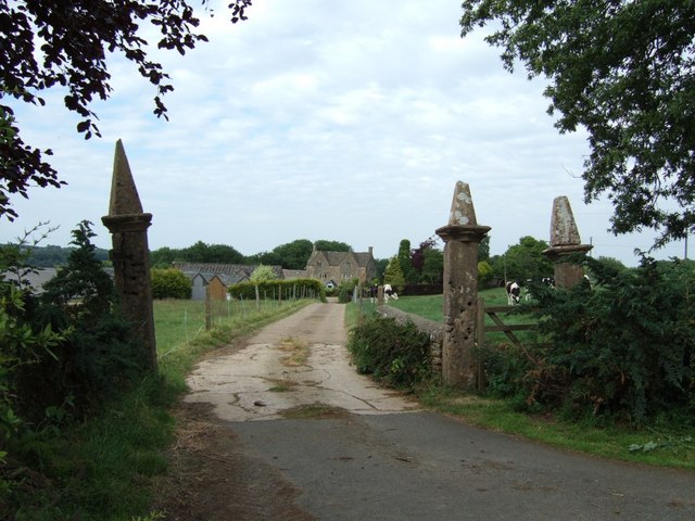
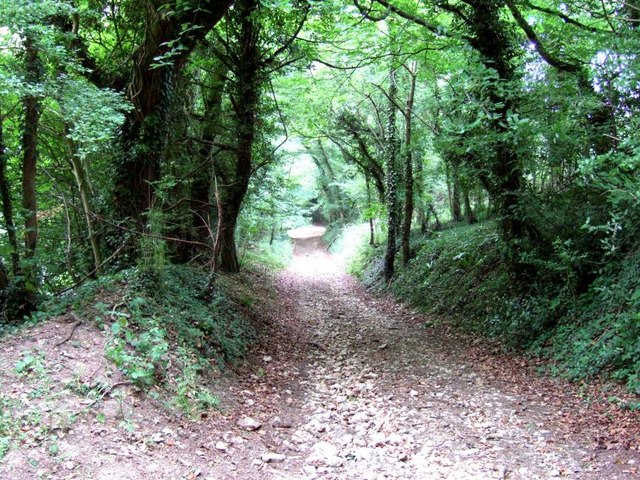
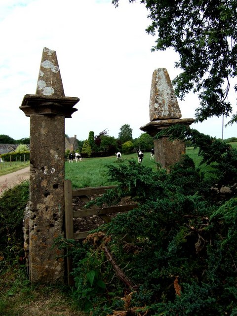
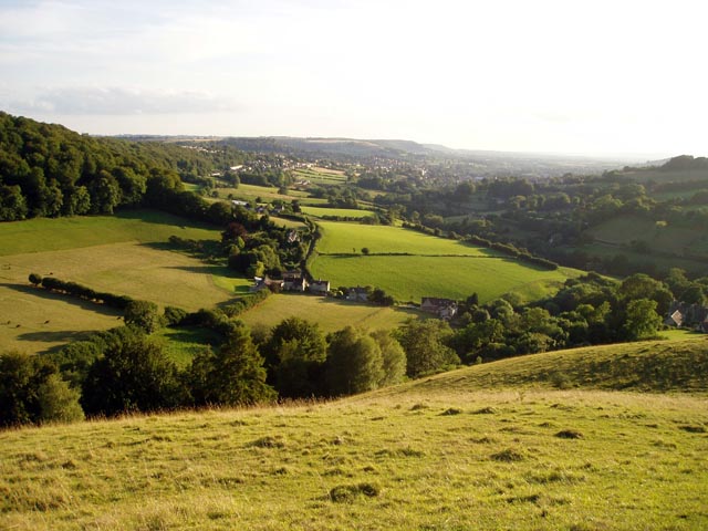
Round Elm Plantation is a picturesque woodland located in Gloucestershire, England. Spread across an area of approximately 100 acres, the plantation is known for its dense forest and diverse range of tree species. The woodland is situated in a rural setting, characterized by rolling hills and tranquil surroundings.

The plantation boasts a rich history, dating back several centuries. It was originally established as a timber plantation in the 18th century, with the aim of supplying wood for various industries. Over time, it has evolved into a thriving ecosystem, providing a habitat for a wide array of flora and fauna.

The forest is predominantly composed of elm trees, which lend the plantation its name. However, it is also home to a variety of other tree species, including oak, beech, and ash. The diverse vegetation creates a vibrant and colorful landscape throughout the year.

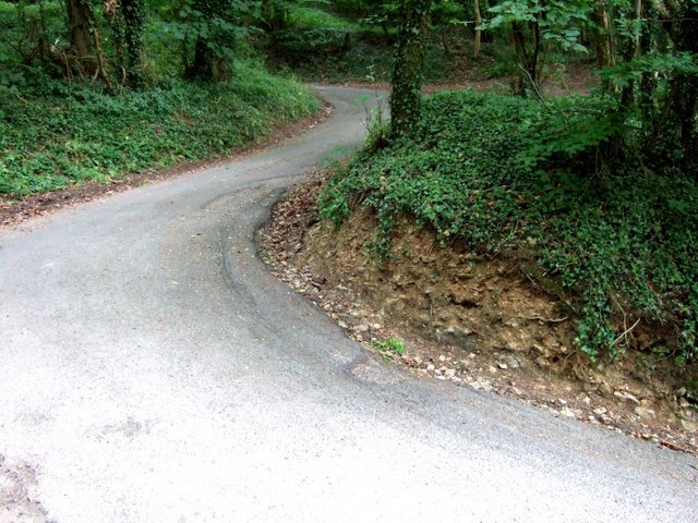
Round Elm Plantation offers a haven for nature enthusiasts and outdoor enthusiasts alike. The woodland is crisscrossed with numerous walking trails, allowing visitors to explore its beauty at their own pace. The plantation also features a small lake, adding to the scenic charm and providing a habitat for various waterfowl.

In addition to its natural beauty, Round Elm Plantation also serves as an important conservation area. Efforts have been made to protect and preserve the woodland, ensuring the survival of its unique ecosystem for future generations to enjoy.

If you have any feedback on the listing, please let us know in the comments section below.

Round Elm Plantation Images

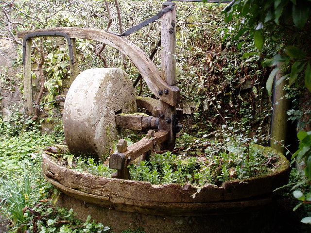
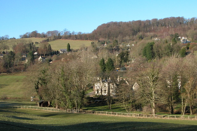
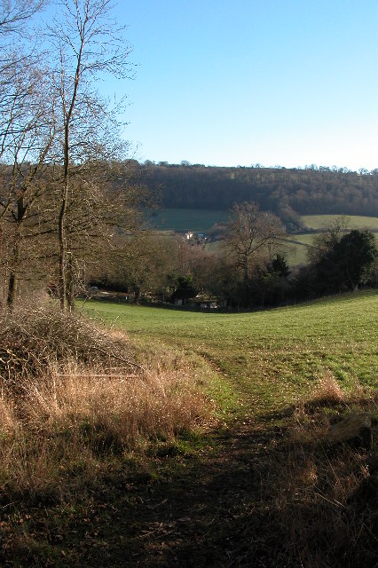
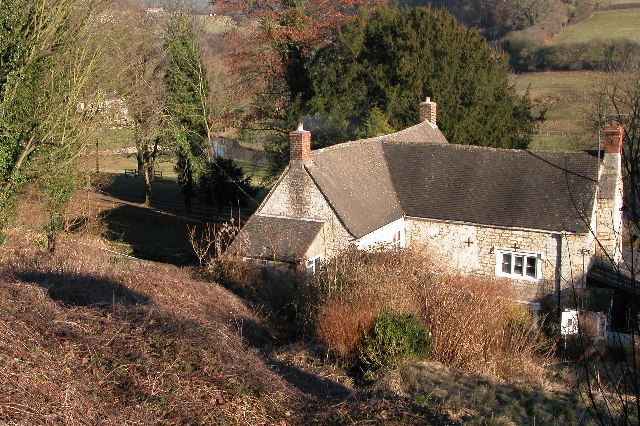
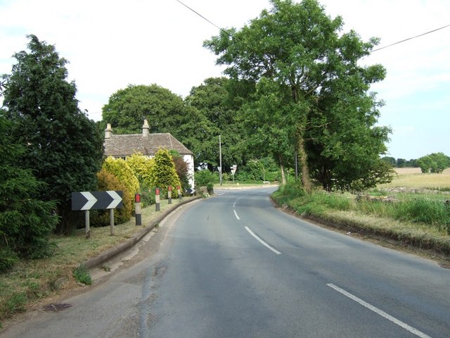
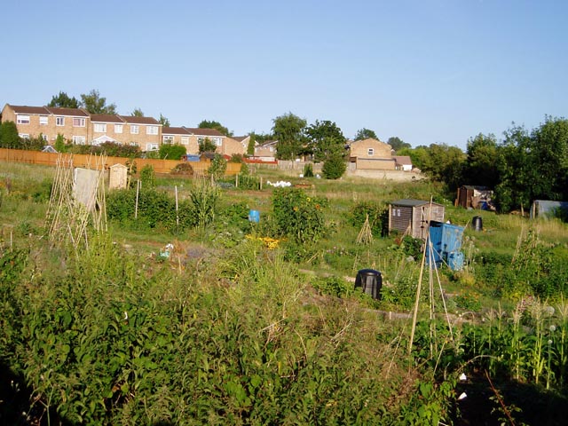
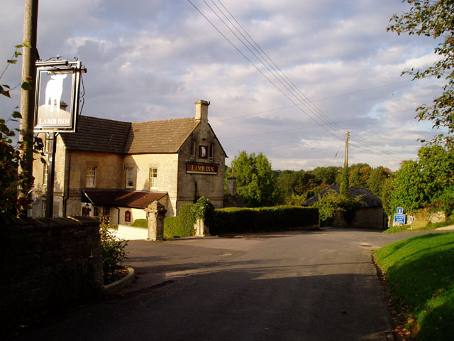
Images are sourced within 2km of 51.750531/-2.1743752 or Grid Reference SO8805. Thanks to Geograph Open Source API. All images are credited.

Cider with Rosie This rather overgrown cider press is just off the B4070, where the path leads up to Wickridge Hill. It's only a quarter of a mile from Slad where Laurie Lee, of "Cider with Rosie" fame was a regular at the Woolpack Inn
Cider with Rosie
This rather overgrown cider press is just off the B4070, where the path leads up to Wickridge Hill. It's only a quarter of a mile from Slad where Laurie Lee, of "Cider with Rosie" fame was a regular at the Woolpack Inn
Toadsmoor Valley Cotswolds; note colour of stone in the house
Toadsmoor Valley
Cotswolds; note colour of stone in the house
Slad The village of Slad lies in one of the valleys above Stroud and is famous as the home of writer Laurie Lee and the setting for his book 'Cider with Rosie'.
Slad
The village of Slad lies in one of the valleys above Stroud and is famous as the home of writer Laurie Lee and the setting for his book 'Cider with Rosie'.
View across the Slad valley to Knapp Lane
Holy Trinity Church, Slad
Rose Bank, cottage in the village of Slad A fairly typical Cotswold-stone cottage in the Slad valley.  In fact this one is the former home of the late Laurie Lee, the author whose book, 'Cider with Rosie' reflected on his childhood in the Slad valley.  The cottage is Grade II listed.

Historic England description
PAINSWICK SLAD SO 80 NE 5/301 Rose Bank II Detached cottage. Early C18 front, C19 back wing. Coursed and squared rubble, concrete tile roof, large external gable stack on outer end of wing and 2 small gable stacks to main blocks. A T-plan, with symmetrical north facing main block to which long service wing probably added later. North front is 2½ storeys, 5-windowed, three 2-light gabled dormers with some leaded glazing over 3:2:2:3- light transomed casements at first and ground floors, all to wood lintels, but window 2 is blank at each level. C18 wide plank door in chamfered surround centrally. Back wing includes two 3-light chamfer mullioned casements with stopped drip and a lean-to in the internal angle, and a 2-light over plank door, also a 3-light dormer. Interior: various chamfered beams and C19 plank and rail doors. Birthplace of Laurie Lee, who still was in the house (April 1984). Not to be confused with Rose Cottage (q.v.).
Source: <span class="nowrap"><a title="https://www.historicengland.org.uk/listing/the-list/list-entry/1153653" rel="nofollow ugc noopener" href="https://www.historicengland.org.uk/listing/the-list/list-entry/1153653">Link</a><img style="margin-left:2px;" alt="External link" title="External link - shift click to open in new window" src="https://s1.geograph.org.uk/img/external.png" width="10" height="10"/></span>
Rose Bank, cottage in the village of Slad
A fairly typical Cotswold-stone cottage in the Slad valley. In fact this one is the former home of the late Laurie Lee, the author whose book, 'Cider with Rosie' reflected on his childhood in the Slad valley. The cottage is Grade II listed. Historic England description PAINSWICK SLAD SO 80 NE 5/301 Rose Bank II Detached cottage. Early C18 front, C19 back wing. Coursed and squared rubble, concrete tile roof, large external gable stack on outer end of wing and 2 small gable stacks to main blocks. A T-plan, with symmetrical north facing main block to which long service wing probably added later. North front is 2½ storeys, 5-windowed, three 2-light gabled dormers with some leaded glazing over 3:2:2:3- light transomed casements at first and ground floors, all to wood lintels, but window 2 is blank at each level. C18 wide plank door in chamfered surround centrally. Back wing includes two 3-light chamfer mullioned casements with stopped drip and a lean-to in the internal angle, and a 2-light over plank door, also a 3-light dormer. Interior: various chamfered beams and C19 plank and rail doors. Birthplace of Laurie Lee, who still was in the house (April 1984). Not to be confused with Rose Cottage (q.v.). Source: LinkExternal link
Catswood Farm The gateway and drive to Catswood Farm off Catswood Lane.
Catswood Farm
The gateway and drive to Catswood Farm off Catswood Lane.
Lane to Catswood Taken next to Stancombe Farm, the lane this horse and rider are travelling leads to Catswood.
Lane to Catswood
Taken next to Stancombe Farm, the lane this horse and rider are travelling leads to Catswood.
Dunkitehill bends A hairpin bend up a steep hill followed by another sharp bend make this little lane from Slad to Catswood quite an interesting drive. The lane here is passing through Dunkitehill Wood.
Dunkitehill bends
A hairpin bend up a steep hill followed by another sharp bend make this little lane from Slad to Catswood quite an interesting drive. The lane here is passing through Dunkitehill Wood.
Bridleway to Slad Three woods meet here, Redding Wood, Catswood and Dunkitehill Wood. This bridleway heads roughly north through Redding Wood hitting a lane that leads to Slad near Steanbridge Farm.
Bridleway to Slad
Three woods meet here, Redding Wood, Catswood and Dunkitehill Wood. This bridleway heads roughly north through Redding Wood hitting a lane that leads to Slad near Steanbridge Farm.
Perilously perched pinnacles! These rather splendid gate posts at Catswood Farm look in danger of imminent collapse - though I dare say they've looked that way for a while. Friesian cows mooch about in the field beyond.
Perilously perched pinnacles!
These rather splendid gate posts at Catswood Farm look in danger of imminent collapse - though I dare say they've looked that way for a while. Friesian cows mooch about in the field beyond.
Stancombe Crossroads A staggered crossroads near a local high point (about 260m). Looking in the general direction of the village of Bisley.
Stancombe Crossroads
A staggered crossroads near a local high point (about 260m). Looking in the general direction of the village of Bisley.
Middle Lypiatt A fairly sizeable country house, though not as big as the nearby Lypiatt Park or Nether Lypiatt.
Middle Lypiatt
A fairly sizeable country house, though not as big as the nearby Lypiatt Park or Nether Lypiatt.
Stroud to Bisley road Although unclassified, this road is fairly well used as a route between Stroud and Cheltenham, as it is generally quite straight and makes a good alternative to the slow A46 or the twisty B4070.
Stroud to Bisley road
Although unclassified, this road is fairly well used as a route between Stroud and Cheltenham, as it is generally quite straight and makes a good alternative to the slow A46 or the twisty B4070.
Trig point and radio mast above Stroud Two structures taking advantage of the prominent ridge rising to the east of Stroud. The Bisley road, from which the photo was taken, also uses the ridge to gain the Cotswold plateau, where progress is easier than in the steep and narrow valleys
Trig point and radio mast above Stroud
Two structures taking advantage of the prominent ridge rising to the east of Stroud. The Bisley road, from which the photo was taken, also uses the ridge to gain the Cotswold plateau, where progress is easier than in the steep and narrow valleys
Bisley Old Road Allotments, Stroud One of a number of allotments in Stroud, sandwiched between post-WW2 housing developments.
Bisley Old Road Allotments, Stroud
One of a number of allotments in Stroud, sandwiched between post-WW2 housing developments.
The Vatch from Swifts Hill Swifts Hill is a nature reserve owned by the Gloucestershire Wildlife Trust, called the Elliot Nature Reserve after the former owners. The Vatch (vatch = valley) is the small cluster of houses directly below; the town of Stroud can be seen beyond.
The Vatch from Swifts Hill
Swifts Hill is a nature reserve owned by the Gloucestershire Wildlife Trust, called the Elliot Nature Reserve after the former owners. The Vatch (vatch = valley) is the small cluster of houses directly below; the town of Stroud can be seen beyond.
The Lamb Inn, Eastcombe Part of the small old centre of Eastcombe, at the bottom of the village green. In common with nearly all buildings of its period in the area, the pub is built of golden Cotswold limestone.
The Lamb Inn, Eastcombe
Part of the small old centre of Eastcombe, at the bottom of the village green. In common with nearly all buildings of its period in the area, the pub is built of golden Cotswold limestone.
Show me another place!

Round Elm Plantation is located at Grid Ref: SO8805 (Lat: 51.750531, Lng: -2.1743752)

Administrative County: Gloucestershire

District: Stroud

Police Authority: Gloucestershire

What 3 Words

///sooner.relocated.comically. Near Stroud, Gloucestershire

Related Wikis

Lypiatt Park

Lypiatt Park is a medieval and Tudor manor house with notable nineteenth-century additions in the parish of Bisley, near Stroud, in Gloucestershire, England...

Swift's Hill SSSI

Swift's Hill (grid reference SO877067) is a 9.15-hectare (22.6-acre) biological and geological Site of Special Scientific Interest in Gloucestershire,...

Bisley-with-Lypiatt

Bisley-with-Lypiatt is a civil parish in the Stroud district of Gloucestershire, England. It had a population of 2350 in 2019. It includes Bisley, Lypiatt...

Eastcombe, Gloucestershire

Eastcombe is a village in Stroud District in Gloucestershire, England. The Parish Church is called Eastcombe: St Augustine and served the parish of Bussage...

Nearby Amenities

Located within 500m of 51.750531,-2.1743752
Bus Stop
Lypiatt Park Lodge
Bus: yes
Naptan AtcoCode: 1600GLS169
Naptan Bearing: NE
Naptan CommonName: Lypiatt Park Lodge
Naptan Indicator: Opp
Naptan NaptanCode: glodjtaw
Naptan PlusbusZoneRef: STRUD
Naptan Street: Bisley Road
Naptan Verified: no
Public Transport: platform
Source: naptan_import
Lat/Long: 51.7524596/-2.1737615
Bus Stop
Lypiatt Park Lodge
Bus: yes
Naptan AtcoCode: 1600GLS170
Naptan Bearing: SW
Naptan CommonName: Lypiatt Park Lodge
Naptan NaptanCode: glodjtdg
Naptan PlusbusZoneRef: STRUD
Naptan Street: Bisley Road
Naptan Verified: no
Public Transport: platform
Source: naptan_import
Lat/Long: 51.7523916/-2.1736981
Passing Place
Lat/Long: 51.7472513/-2.1743343
Barrier: cattle_grid
Lat/Long: 51.7548562/-2.1746667
Power: pole
Lat/Long: 51.7536257/-2.1792787
Post Box
Collection Times: Mo-Fr 09:00; Sa 07:00; Su off
Colour: Red
Drive Through: no
Ele: 297
Operator: Royal Mail
Operator Wikidata: Q638098
Post Box Type: wall
Ref: GL6 76D
Royal Cypher: EVIIR
Royal Cypher Wikidata: Q33102324
Source: survey;streetlevel imagery
Wikimedia Commons: File:Royal Mail post box - GL6 76D.jpg
Lat/Long: 51.7523505/-2.1738572
Barrier: stile
Lat/Long: 51.7524577/-2.178827
Barrier: stile
Lat/Long: 51.7524924/-2.1788977
Barrier: stile
Material: stone
Stile: wall
Lat/Long: 51.7515024/-2.1774504
Barrier: stile
Material: wood
Stile: stepover
Lat/Long: 51.751574/-2.1775832
Barrier: stile
Foot: designated
Material: stone
Stile: stepover
Wikimedia Commons: File:Public Footpath towards Bisley Road.jpg
Lat/Long: 51.7502837/-2.1748098
Direction: 345
Information: guidepost
Tourism: information
Wikimedia Commons: File:Public Footpath through Fennell's Farm.jpg
Lat/Long: 51.7524787/-2.1737211
Direction: 310
Information: guidepost
Tourism: information
Wikimedia Commons: File:Public Footpath towards Bisley Road.jpg
Lat/Long: 51.7502618/-2.1748152
The data included in this document is from www.openstreetmap.org. The data is made available under ODbL.

Have you been to Round Elm Plantation?

Leave your review of Round Elm Plantation below (or comments, questions and feedback).