The Grove

Wood, Forest in Gloucestershire Stroud

England

The Grove

The Stirrup Cup, Bisley Walker-friendly pub at the north end of the village.
The Stirrup Cup, Bisley Credit: Jonathan Billinger

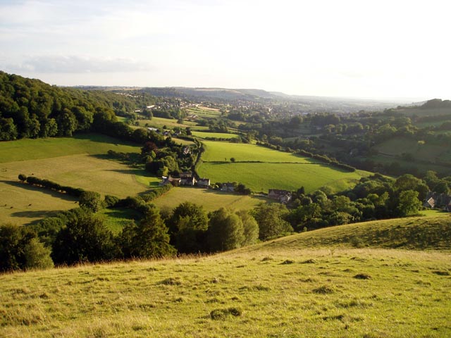
The Grove, located in Gloucestershire, England, is a picturesque woodland area renowned for its natural beauty and rich biodiversity. This enchanting forest covers an expansive area of approximately 500 acres, making it a haven for nature enthusiasts and outdoor adventurers.

The Grove boasts a diverse range of tree species, including oak, beech, and ash, creating a stunning tapestry of colors throughout the seasons. The forest floor is adorned with a carpet of wildflowers, adding to the area's ethereal charm. A network of well-maintained walking trails meanders through the woods, offering visitors the opportunity to explore the area at their own pace. The tranquil ambiance and serene atmosphere make it an ideal spot for those seeking solace in nature.

Aside from its natural beauty, The Grove is also home to a variety of wildlife. Deer, badgers, and foxes can often be spotted among the trees, while the skies above are frequented by various bird species, including woodpeckers and owls. The forest is a haven for birdwatchers and wildlife photographers, who can capture the beauty of these creatures in their natural habitat.

The Grove is also steeped in history, with ancient ruins and archaeological sites scattered throughout the forest. These remnants provide glimpses into the area's past, offering a fascinating insight into the lives of those who once inhabited this land.

Overall, The Grove in Gloucestershire is a captivating woodland destination that offers a unique blend of natural beauty, wildlife encounters, and historical intrigue. It is a place where visitors can immerse themselves in the wonders of the natural world and create lasting memories.

If you have any feedback on the listing, please let us know in the comments section below.
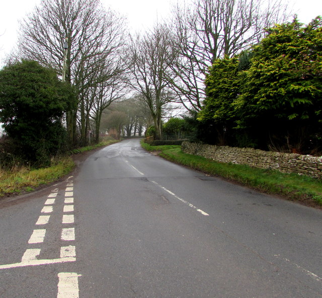
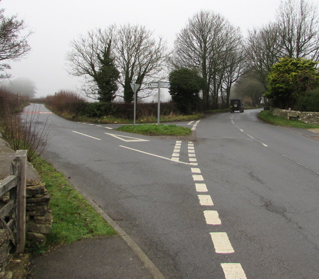
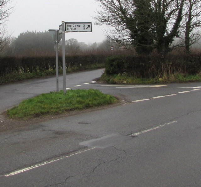
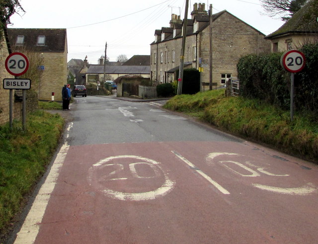
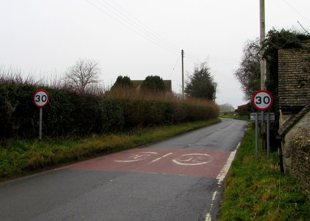
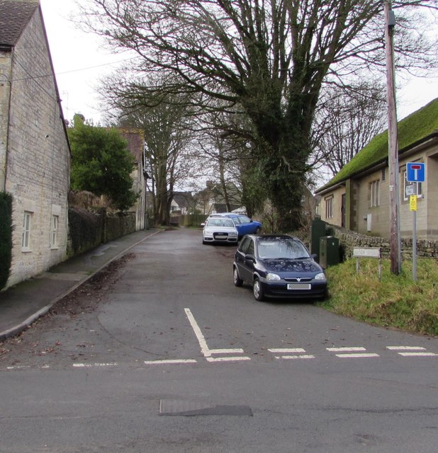
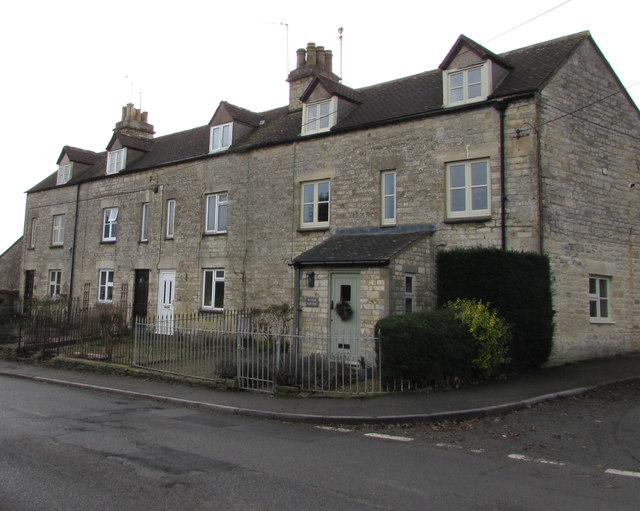
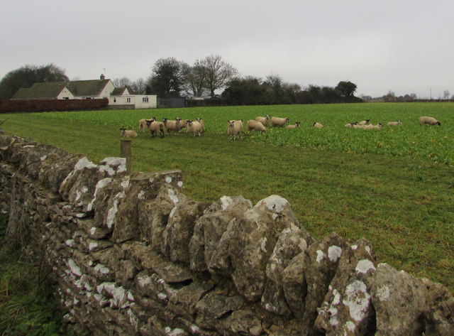
The Grove Images

Images are sourced within 2km of 51.751935/-2.16721 or Grid Reference SO8805. Thanks to Geograph Open Source API. All images are credited.

The Stirrup Cup, Bisley Walker-friendly pub at the north end of the village.
The Stirrup Cup, Bisley
Walker-friendly pub at the north end of the village.
Notice on the Stirrup Cup Not unfriendly to outdoor-types!
Notice on the Stirrup Cup
Not unfriendly to outdoor-types!
Van Der Breen Street, Bisley Western end of a long dead-end street viewed from the High Street/Cheltenham Road junction. 
A sign shows that Van Der Breen Street is unsuitable for heavy goods vehicles or wide vehicles.
Van Der Breen Street, Bisley
Western end of a long dead-end street viewed from the High Street/Cheltenham Road junction. A sign shows that Van Der Breen Street is unsuitable for heavy goods vehicles or wide vehicles.
Stirrup Cup, Bisley Cheltenham Road pub & restaurant near the northern end of High Street. <a title="https://www.geograph.org.uk/photo/6011412" href="https://www.geograph.org.uk/photo/6011412">Link</a> to the name sign.
Stirrup Cup, Bisley
Cheltenham Road pub & restaurant near the northern end of High Street. Link to the name sign.
The Stirrup Cup name sign, Bisley Hanging from a wall bracket here. <a title="https://www.geograph.org.uk/photo/6011407" href="https://www.geograph.org.uk/photo/6011407">Link</a>
The Stirrup Cup name sign, Bisley
Hanging from a wall bracket here. Link
Bisley War Memorial Located on the east side of Cheltenham Road near the Stirrup Cup. <a title="https://www.geograph.org.uk/photo/6011407" href="https://www.geograph.org.uk/photo/6011407">Link</a>
The Cotswold stone War Memorial was dedicated on April 3rd 1921. 
Grade II listed in 2010.
Bisley War Memorial
Located on the east side of Cheltenham Road near the Stirrup Cup. Link The Cotswold stone War Memorial was dedicated on April 3rd 1921. Grade II listed in 2010.
Windyridge, Bisley The northeast end of the cul-de-sac Windyridge viewed across Cheltenham Road.
Windyridge, Bisley
The northeast end of the cul-de-sac Windyridge viewed across Cheltenham Road.
Cheltenham Road houses near the corner of Windyridge, Bisley Cheltenham Road houses are on the right. Windyridge <a title="https://www.geograph.org.uk/photo/6011448" href="https://www.geograph.org.uk/photo/6011448">Link</a> houses are on the left.
Cheltenham Road houses near the corner of Windyridge, Bisley
Cheltenham Road houses are on the right. Windyridge Link houses are on the left.
Minor road from Bisley towards Stroud The 30mph speed limit increases to 40mph.
Minor road from Bisley towards Stroud
The 30mph speed limit increases to 40mph.
Give Way sign and hydrant marker on a grass triangle, Bisley Facing the minor road from Stroud. Calf Way is on the left. 
Cheltenham Road on the right leads to the centre of Bisley.
Give Way sign and hydrant marker on a grass triangle, Bisley
Facing the minor road from Stroud. Calf Way is on the left. Cheltenham Road on the right leads to the centre of Bisley.
Calf Way north of Bisley North of the junction on the left, Cheltenham Road behind the camera becomes Calf Way ahead. 
Pointing ahead, a sign near the camera shows two miles to The Camp, five miles to Birdlip.
Calf Way north of Bisley
North of the junction on the left, Cheltenham Road behind the camera becomes Calf Way ahead. Pointing ahead, a sign near the camera shows two miles to The Camp, five miles to Birdlip.
Y-junction north of Bisley Viewed from the northwest end of Cheltenham Road.
Left for a minor road towards Stroud.
Right along Calf Way for The Camp (2 miles) and Birdlip (5).
Y-junction north of Bisley
Viewed from the northwest end of Cheltenham Road. Left for a minor road towards Stroud. Right along Calf Way for The Camp (2 miles) and Birdlip (5).
Direction and distances sign on a grass triangle north of Bisley Two miles from The Camp and five miles from Birdlip,
the black arrow on the sign points along Calf Way. <a title="https://www.geograph.org.uk/photo/6011492" href="https://www.geograph.org.uk/photo/6011492">Link</a>
Direction and distances sign on a grass triangle north of Bisley
Two miles from The Camp and five miles from Birdlip, the black arrow on the sign points along Calf Way. Link
Northern boundary of Bisley The 30mph speed limit on Cheltenham Road drops to 20mph near the village 
boundary sign. Bisley is a Gloucestershire village about 6km east of Stroud.
Northern boundary of Bisley
The 30mph speed limit on Cheltenham Road drops to 20mph near the village boundary sign. Bisley is a Gloucestershire village about 6km east of Stroud.
End of the 20mph speed limit on Cheltenham Road, Bisley In the north of the Gloucestershire village, the 20mph speed limit increases to 30mph.
End of the 20mph speed limit on Cheltenham Road, Bisley
In the north of the Gloucestershire village, the 20mph speed limit increases to 30mph.
West along Manor Street, Bisley Dead-end Manor Street ascends from the west side of Cheltenham Road.
West along Manor Street, Bisley
Dead-end Manor Street ascends from the west side of Cheltenham Road.
Row of houses on the west side of Cheltenham Road, Bisley Viewed from the corner of Manor Street. The house on the right is Manor Cottage.
Row of houses on the west side of Cheltenham Road, Bisley
Viewed from the corner of Manor Street. The house on the right is Manor Cottage.
Sheep in a Bisley field Viewed over a Cheltenham Road drystone wall.
Sheep in a Bisley field
Viewed over a Cheltenham Road drystone wall.
Show me another place!

The Grove is located at Grid Ref: SO8805 (Lat: 51.751935, Lng: -2.16721)

Administrative County: Gloucestershire

District: Stroud

Police Authority: Gloucestershire

What 3 Words

///raven.navy.broth. Near Stroud, Gloucestershire

Related Wikis

Lypiatt Park

Lypiatt Park is a medieval and Tudor manor house with notable nineteenth-century additions in the parish of Bisley, near Stroud, in Gloucestershire, England...

Swift's Hill SSSI

Swift's Hill (grid reference SO877067) is a 9.15-hectare (22.6-acre) biological and geological Site of Special Scientific Interest in Gloucestershire,...

Bisley-with-Lypiatt

Bisley-with-Lypiatt is a civil parish in the Stroud district of Gloucestershire, England. It had a population of 2350 in 2019. It includes Bisley, Lypiatt...

Eastcombe, Gloucestershire

Eastcombe is a village in Stroud District in Gloucestershire, England. The Parish Church is called Eastcombe: St Augustine and served the parish of Bussage...

Bisley, Gloucestershire

Bisley is a village and former civil parish, now in the parish of Bisley-with-Lypiatt, in the Stroud district, in Gloucestershire, England, about 4 miles...

Lypiatt

Lypiatt is a small village and former civil parish, now in the parish of Miserden, in the Stroud district, in Gloucestershire, England, approximately 4...

Thomas Keble School

Thomas Keble School is a mixed secondary school located in Eastcombe in the English county of Gloucestershire. The school is named after Thomas Keble,...

Slad

Slad is a village in Gloucestershire, England, in the Slad Valley about 2 miles (3 km) from Stroud on the B4070 road from Stroud to Birdlip. Slad is notable...

Nearby Amenities

Located within 500m of 51.751935,-2.16721
Bus Stop
Lypiatt Park Lodge
Bus: yes
Naptan AtcoCode: 1600GLS169
Naptan Bearing: NE
Naptan CommonName: Lypiatt Park Lodge
Naptan Indicator: Opp
Naptan NaptanCode: glodjtaw
Naptan PlusbusZoneRef: STRUD
Naptan Street: Bisley Road
Naptan Verified: no
Public Transport: platform
Source: naptan_import
Lat/Long: 51.7524596/-2.1737615
Bus Stop
Lypiatt Park Lodge
Bus: yes
Naptan AtcoCode: 1600GLS170
Naptan Bearing: SW
Naptan CommonName: Lypiatt Park Lodge
Naptan NaptanCode: glodjtdg
Naptan PlusbusZoneRef: STRUD
Naptan Street: Bisley Road
Naptan Verified: no
Public Transport: platform
Source: naptan_import
Lat/Long: 51.7523916/-2.1736981
Bus Stop
Daw's Ln
Bus: yes
Naptan AtcoCode: 1600GLS171
Naptan Bearing: NE
Naptan CommonName: Daw's Ln
Naptan NaptanCode: glodjtwd
Naptan PlusbusZoneRef: STRUD
Naptan Street: Bisley Road
Naptan Verified: no
Public Transport: platform
Source: naptan_import
Lat/Long: 51.7540445/-2.1690952
Bus Stop
Daw's Ln
Bus: yes
Naptan AtcoCode: 1600GLS172
Naptan Bearing: SW
Naptan CommonName: Daw's Ln
Naptan Indicator: Opp
Naptan NaptanCode: glodjtwg
Naptan PlusbusZoneRef: STRUD
Naptan Street: Bisley Road
Naptan Verified: no
Public Transport: platform
Source: naptan_import
Lat/Long: 51.7541168/-2.1688492
Post Box
Collection Times: Mo-Fr 09:00; Sa 07:00; Su off
Colour: Red
Drive Through: no
Ele: 297
Operator: Royal Mail
Operator Wikidata: Q638098
Post Box Type: wall
Ref: GL6 76D
Royal Cypher: EVIIR
Royal Cypher Wikidata: Q33102324
Source: survey;streetlevel imagery
Wikimedia Commons: File:Royal Mail post box - GL6 76D.jpg
Lat/Long: 51.7523505/-2.1738572
Direction: 345
Information: guidepost
Tourism: information
Wikimedia Commons: File:Public Footpath through Fennell's Farm.jpg
Lat/Long: 51.7524787/-2.1737211
The data included in this document is from www.openstreetmap.org. The data is made available under ODbL.

Have you been to The Grove?

Leave your review of The Grove below (or comments, questions and feedback).