Black Firs

Wood, Forest in Gloucestershire Stroud

England

Black Firs

The Bear Inn, Bisley A wonderful Cotswold stone pub in the village of Bisley with an unusual pillared façade.
The Bear Inn, Bisley Credit: Rob Farrow

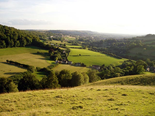
Black Firs is a small woodland area located in the county of Gloucestershire in southwestern England. Situated near the town of Coleford, it is part of the larger Forest of Dean, a historic woodland that covers approximately 110 square kilometers. Black Firs is characterized by its dense, mature trees and diverse wildlife, making it a popular destination for nature enthusiasts and hikers.

The woodland comprises mainly coniferous trees such as fir, spruce, and pine, giving it a dark and mysterious appearance. The thick canopy created by these tall trees provides shelter and nesting sites for a range of bird species, including woodpeckers, owls, and various songbirds. The forest floor is covered in a carpet of mosses, ferns, and wildflowers, adding to the area's natural beauty.

Black Firs offers several walking trails and footpaths, allowing visitors to explore its tranquil surroundings. These paths wind through the woodland, offering glimpses of the nearby River Wye and the stunning landscapes of the Forest of Dean. The area is also home to a variety of wildlife, including deer, badgers, foxes, and squirrels, which can often be spotted by observant visitors.

In addition to its natural beauty, Black Firs holds cultural significance as part of the larger Forest of Dean, which has a rich history of coal mining, ironworking, and timber production. The woodland provides a glimpse into the region's past and its connection to the local community.

Overall, Black Firs is a captivating woodland area that offers a peaceful retreat into nature, showcasing the beauty and biodiversity of Gloucestershire's forests.

If you have any feedback on the listing, please let us know in the comments section below.
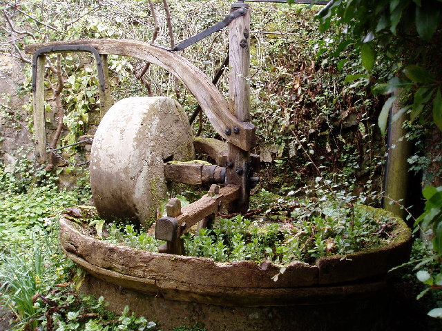
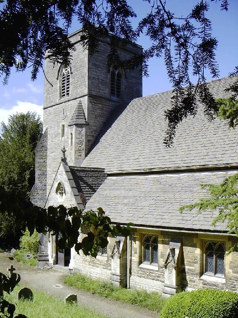
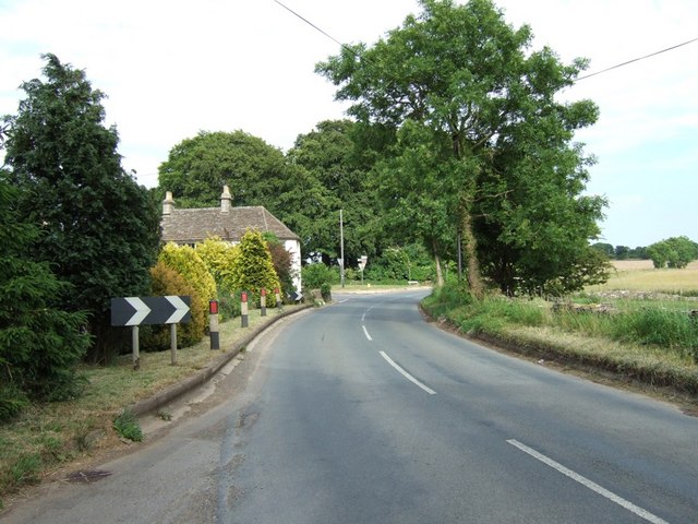
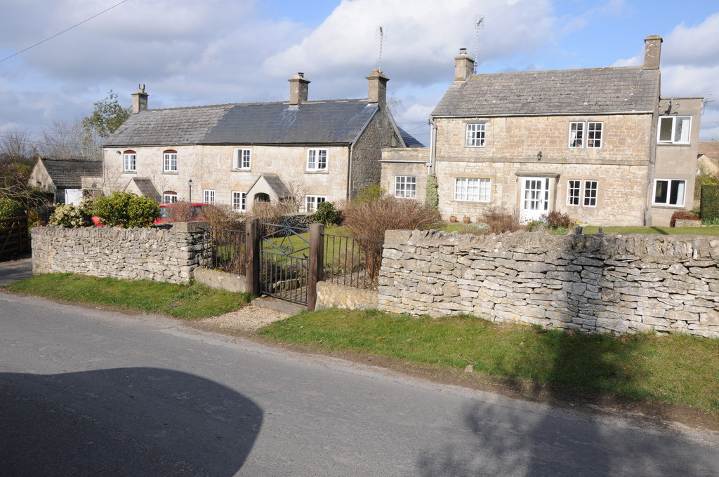
Black Firs Images

Images are sourced within 2km of 51.746124/-2.1690425 or Grid Reference SO8805. Thanks to Geograph Open Source API. All images are credited.

The Bear Inn, Bisley A wonderful Cotswold stone pub in the village of Bisley with an unusual pillared façade.
The Bear Inn, Bisley
A wonderful Cotswold stone pub in the village of Bisley with an unusual pillared façade.
Bear Inn Frontage A close-up of the front of the Bear Inn in Bisley, showing the unusual façade with pillars holding up the first floor creating a kind of loggia.
Bear Inn Frontage
A close-up of the front of the Bear Inn in Bisley, showing the unusual façade with pillars holding up the first floor creating a kind of loggia.
Bisley Wells Wells just south of the church at Bisley, in the Cotswolds.
Bisley Wells
Wells just south of the church at Bisley, in the Cotswolds.
The Bear Inn, Bisley The Bear Inn in Bisley used to be the court house, the columns date from the early 17th century.
The Bear Inn, Bisley
The Bear Inn in Bisley used to be the court house, the columns date from the early 17th century.
Road from Eastcombe to Bisley Road from Eastcombe to Bisley pictured near Nash End Farm.
Road from Eastcombe to Bisley
Road from Eastcombe to Bisley pictured near Nash End Farm.
Bisley viewed from the south The village of Bisley which is situated at the head of one of the Strod valleys, viewed from the road to the south.
Bisley viewed from the south
The village of Bisley which is situated at the head of one of the Strod valleys, viewed from the road to the south.
View to Bisley The village of Bisley which is situated at the head of one of the Stroud valleys, viewed from the road to the south.
View to Bisley
The village of Bisley which is situated at the head of one of the Stroud valleys, viewed from the road to the south.
Deep rutted track named Joiners' Lane
Road from Eastcombe to Bisley
Cider with Rosie This rather overgrown cider press is just off the B4070, where the path leads up to Wickridge Hill. It's only a quarter of a mile from Slad where Laurie Lee, of "Cider with Rosie" fame was a regular at the Woolpack Inn
Cider with Rosie
This rather overgrown cider press is just off the B4070, where the path leads up to Wickridge Hill. It's only a quarter of a mile from Slad where Laurie Lee, of "Cider with Rosie" fame was a regular at the Woolpack Inn
Toadsmoor Valley Cotswolds; note colour of stone in the house
Toadsmoor Valley
Cotswolds; note colour of stone in the house
Bussage (Glos) St Michael's Church
Lane to Catswood Taken next to Stancombe Farm, the lane this horse and rider are travelling leads to Catswood.
Lane to Catswood
Taken next to Stancombe Farm, the lane this horse and rider are travelling leads to Catswood.
Stancombe Crossroads A staggered crossroads near a local high point (about 260m). Looking in the general direction of the village of Bisley.
Stancombe Crossroads
A staggered crossroads near a local high point (about 260m). Looking in the general direction of the village of Bisley.
Nether Lypiatt Manor The former country seat of Prince and Princess Michael of Kent.
Nether Lypiatt Manor
The former country seat of Prince and Princess Michael of Kent.
Middle Lypiatt A fairly sizeable country house, though not as big as the nearby Lypiatt Park or Nether Lypiatt.
Middle Lypiatt
A fairly sizeable country house, though not as big as the nearby Lypiatt Park or Nether Lypiatt.
Stroud to Bisley road Although unclassified, this road is fairly well used as a route between Stroud and Cheltenham, as it is generally quite straight and makes a good alternative to the slow A46 or the twisty B4070.
Stroud to Bisley road
Although unclassified, this road is fairly well used as a route between Stroud and Cheltenham, as it is generally quite straight and makes a good alternative to the slow A46 or the twisty B4070.
Trig point and radio mast above Stroud Two structures taking advantage of the prominent ridge rising to the east of Stroud. The Bisley road, from which the photo was taken, also uses the ridge to gain the Cotswold plateau, where progress is easier than in the steep and narrow valleys
Trig point and radio mast above Stroud
Two structures taking advantage of the prominent ridge rising to the east of Stroud. The Bisley road, from which the photo was taken, also uses the ridge to gain the Cotswold plateau, where progress is easier than in the steep and narrow valleys
Show me another place!

Black Firs is located at Grid Ref: SO8805 (Lat: 51.746124, Lng: -2.1690425)

Administrative County: Gloucestershire

District: Stroud

Police Authority: Gloucestershire

What 3 Words

///breaches.reverses.drilling. Near Stroud, Gloucestershire

Related Wikis

Lypiatt Park

Lypiatt Park is a medieval and Tudor manor house with notable nineteenth-century additions in the parish of Bisley, near Stroud, in Gloucestershire, England...

Eastcombe, Gloucestershire

Eastcombe is a village in Stroud District in Gloucestershire, England. The Parish Church is called Eastcombe: St Augustine and served the parish of Bussage...

Bisley-with-Lypiatt

Bisley-with-Lypiatt is a civil parish in the Stroud district of Gloucestershire, England. It had a population of 2350 in 2019. It includes Bisley, Lypiatt...

Thomas Keble School

Thomas Keble School is a mixed secondary school located in Eastcombe in the English county of Gloucestershire. The school is named after Thomas Keble,...

Swift's Hill SSSI

Swift's Hill (grid reference SO877067) is a 9.15-hectare (22.6-acre) biological and geological Site of Special Scientific Interest in Gloucestershire,...

Nether Lypiatt Manor

Nether Lypiatt Manor is a compact, neo-Classical manor house in the mainly rural parish of Thrupp, near Stroud in Gloucestershire. It was formerly the...

Bisley, Gloucestershire

Bisley is a village and former civil parish, now in the parish of Bisley-with-Lypiatt, in the Stroud district, in Gloucestershire, England, about 4 miles...

Lypiatt

Lypiatt is a small village and former civil parish, now in the parish of Miserden, in the Stroud district, in Gloucestershire, England, approximately 4...

Nearby Amenities

Located within 500m of 51.746124,-2.1690425
Barrier: stile
Lat/Long: 51.7463731/-2.1657664
Barrier: stile
Lat/Long: 51.7465326/-2.1678478
Barrier: kissing_gate
Lat/Long: 51.7468979/-2.1699721
Barrier: stile
Lat/Long: 51.7460447/-2.162249
Barrier: stile
Lat/Long: 51.7462536/-2.1640391
Passing Place
Lat/Long: 51.7472513/-2.1743343
The data included in this document is from www.openstreetmap.org. The data is made available under ODbL.

Have you been to Black Firs?

Leave your review of Black Firs below (or comments, questions and feedback).