Charland Coppice

Wood, Forest in Worcestershire Wychavon

England

Charland Coppice

Diamond Coffee Bar, at the crossroads Droitwich Many businesses have tried to flourish at this location which is subject to flooding.
Diamond Coffee Bar, at the crossroads Droitwich Credit: Jeff Gogarty

Charland Coppice is a picturesque woodland located in Worcestershire, England. This enchanting forest covers an approximate area of 50 acres and is renowned for its natural beauty and tranquil atmosphere. The coppice is part of a larger wooded area and is nestled within the heart of the Worcestershire countryside.

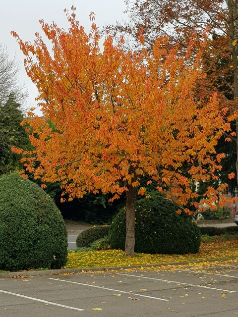
The woodland is predominantly composed of deciduous trees, including oak, ash, beech, and birch, which create a diverse and vibrant canopy overhead. The forest floor is adorned with an array of wildflowers, such as bluebells, primroses, and foxgloves, adding bursts of color to the landscape.

Charland Coppice is a haven for wildlife, providing a sanctuary for a variety of species. Birdwatchers can spot a range of feathered residents, including woodpeckers, owls, and various small songbirds. Foxes, badgers, and squirrels are also commonly sighted in the area.

The woodland offers a peaceful retreat for nature enthusiasts, hikers, and photographers. Its well-maintained footpaths wind through the trees, allowing visitors to explore the forest and discover its hidden gems. Breathtaking vistas can be found at certain viewpoints, offering panoramic views of the surrounding countryside.

Charland Coppice is easily accessible, with a nearby car park and public transport links. It is a popular destination for both locals and tourists seeking solace in nature. Whether one seeks a leisurely stroll or a more vigorous hike, the coppice promises a rejuvenating experience in a truly idyllic setting.

If you have any feedback on the listing, please let us know in the comments section below.

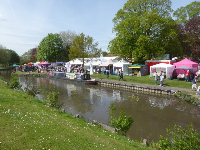
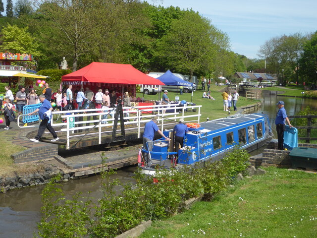
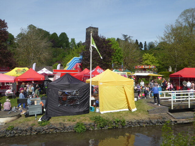
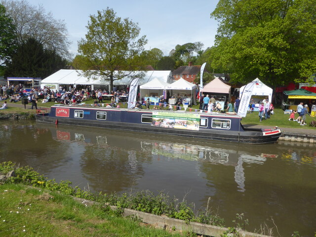
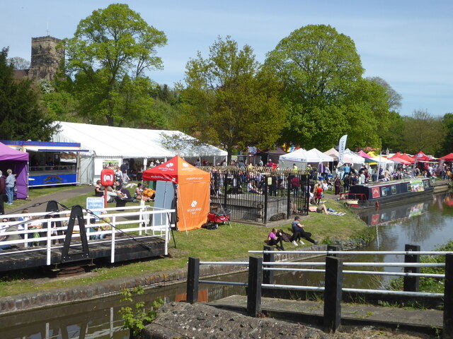
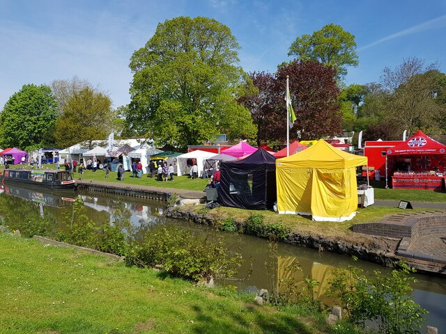
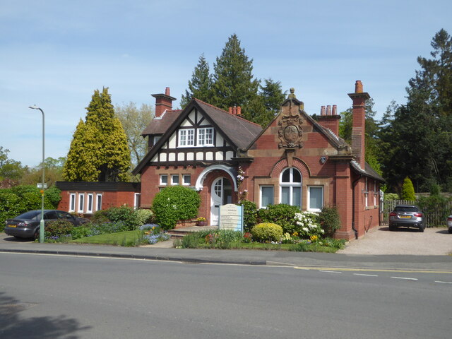
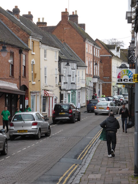
Charland Coppice Images

Images are sourced within 2km of 52.27552/-2.1710669 or Grid Reference SO8864. Thanks to Geograph Open Source API. All images are credited.

Diamond Coffee Bar, at the crossroads Droitwich Many businesses have tried to flourish at this location which is subject to flooding.
Diamond Coffee Bar, at the crossroads Droitwich
Many businesses have tried to flourish at this location which is subject to flooding.
The canalised River Salwarpe in Droitwich Approaching bridge No. 8 and the barge lock at the entrance to Vines Park.
The canalised River Salwarpe in Droitwich
Approaching bridge No. 8 and the barge lock at the entrance to Vines Park.
The barge lock, Vines Park, Droitwich Now renamed the Max Sinclair Memorial Lock and numbered in the same sequence as the Droitwich Junction Canal. This lock marks the junction of the Droitwich Barge Canal with the canalised River Salwarpe at the end of the Junction Canal. Although the Junction Canal is a narrow canal, the barge lock was designed to take the larger sailing trows so they could access a works upstream of here on the river.
The barge lock, Vines Park, Droitwich
Now renamed the Max Sinclair Memorial Lock and numbered in the same sequence as the Droitwich Junction Canal. This lock marks the junction of the Droitwich Barge Canal with the canalised River Salwarpe at the end of the Junction Canal. Although the Junction Canal is a narrow canal, the barge lock was designed to take the larger sailing trows so they could access a works upstream of here on the river.
Autumn tree, Lido car park, Droitwich
St Richards Canal Festival, Droitwich To raise money for the hospice.
St Richards Canal Festival, Droitwich
To raise money for the hospice.
St Richards Canal Festival, Droitwich A trip boat passing through one of the swing bridges in Vines Park. The festival is to raise money for the hospice.
St Richards Canal Festival, Droitwich
A trip boat passing through one of the swing bridges in Vines Park. The festival is to raise money for the hospice.
St Richards Canal Festival, Droitwich St Augustine's church is on the hill in the background. The festival was to raise money for the hospice in Worcester and was getting quite crowded.
St Richards Canal Festival, Droitwich
St Augustine's church is on the hill in the background. The festival was to raise money for the hospice in Worcester and was getting quite crowded.
St Richards Canal Festival, Droitwich In Vines Park on the Droitwich Barge Canal. To raise money for the hospice.
St Richards Canal Festival, Droitwich
In Vines Park on the Droitwich Barge Canal. To raise money for the hospice.
St Richards Canal Festival, Droitwich
Stalls at St Richard's Canal Festival, Droitwich Spa
No. 1 Corbett, Avenue, Droitwich A striking building from 1906 in what I think is the arts and Crafts style. Currently used by a chiropractor but it has been used by an architect's practice and as a GP surgery in the past. This building is not listed despite its obvious class.
No. 1 Corbett, Avenue, Droitwich
A striking building from 1906 in what I think is the arts and Crafts style. Currently used by a chiropractor but it has been used by an architect's practice and as a GP surgery in the past. This building is not listed despite its obvious class.
Droitwich High Street Showing signs of subsidence caused by previous brine extraction from under the town.
Droitwich High Street
Showing signs of subsidence caused by previous brine extraction from under the town.
Droitwich High Street at dusk Sorry, it's not pin-sharp.
Droitwich High Street at dusk
Sorry, it's not pin-sharp.
No. 31 High Street, Droitwich This is one part of 31-35 High Street that are collectively Listed Grade II (star). This building has been recently restored to its former appearance and now looks very different to its earlier appearance. This is a mediaeval hall house dating to around 1400 with later extensions.
No. 31 High Street, Droitwich
This is one part of 31-35 High Street that are collectively Listed Grade II (star). This building has been recently restored to its former appearance and now looks very different to its earlier appearance. This is a mediaeval hall house dating to around 1400 with later extensions.
Hill Court, Droitwich This large early 19th century stuccoed house is now part of Dodderhill School that is fee-paying. The house is Listed Grade II.
Hill Court, Droitwich
This large early 19th century stuccoed house is now part of Dodderhill School that is fee-paying. The house is Listed Grade II.
The Dilshad on Droitwich High Street closes Due to retirement of the owner the popular Indian Restaurant closes and a new one soon replaces it.
The Dilshad on Droitwich High Street closes
Due to retirement of the owner the popular Indian Restaurant closes and a new one soon replaces it.
Monument to a family pets, Droitwich Spa The 'Salt King', John Corbett, who developed Droitwich into a spa as well as modernising the salt production is honoured by the town. This monument to the Corbett family pets stood in the grounds of Chateau Impney, the family home. When the Chateau was sold to become an hotel the pet monument was moved to the entrance of the Lido Park.
Monument to a family pets, Droitwich Spa
The 'Salt King', John Corbett, who developed Droitwich into a spa as well as modernising the salt production is honoured by the town. This monument to the Corbett family pets stood in the grounds of Chateau Impney, the family home. When the Chateau was sold to become an hotel the pet monument was moved to the entrance of the Lido Park.
Old Bridge Marker on the A4133 Bridge Marker inscribed in the north parapet of Ward's Bridge, Hadley Brook, on the A4133. On the boundary of Ombersley, Westwood and Salwarpe parishes.

Milestone Society National ID: WO_OMWESA01br
Old Bridge Marker on the A4133
Bridge Marker inscribed in the north parapet of Ward's Bridge, Hadley Brook, on the A4133. On the boundary of Ombersley, Westwood and Salwarpe parishes. Milestone Society National ID: WO_OMWESA01br
Show me another place!

Charland Coppice is located at Grid Ref: SO8864 (Lat: 52.27552, Lng: -2.1710669)

Administrative County: Worcestershire

District: Wychavon

Police Authority: West Mercia

What 3 Words

///debate.wakes.fluffed. Near Droitwich, Worcestershire

Nearby Locations

Charland Coppice Westlands

Related Wikis

Westwood Priory

Westwood Priory (priory of St. Mary) was a priory of Benedictine nuns founded in 1153, near Droitwich, Worcestershire, England. It was a daughter house...
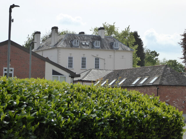
Westwood House

Westwood House is a stately home, near Droitwich, Worcestershire, England. It has been subdivided into twelve self-contained apartments. The house has...

Droitwich Spa High School

Droitwich Spa High School is a secondary school and specialist Sports College with academy status in Droitwich Spa, Worcestershire, England. It serves...

Droitwich Spa railway station

Droitwich Spa railway station serves the town of Droitwich Spa in Worcestershire, England. It is located just to the south-west of Droitwich Spa Junction...

Hampton Lovett

Hampton Lovett is a village and civil parish in the Wychavon district of the county of Worcestershire, England. It is just north of Droitwich. The church...

Droitwich Spa

Droitwich Spa (often abbreviated to Droitwich ) is a historic spa town in the Wychavon district in northern Worcestershire, England, on the River Salwarpe...

Old Town Hall, Droitwich Spa

The Old Town Hall is a municipal building in St Andrews Street, Droitwich Spa, Worcestershire, England. The structure, which was the headquarters of Droitwich...

RGS Dodderhill

RGS Dodderhill is a private school on the outskirts of Droitwich Spa, Worcestershire, England. Girls & Boys are educated from 2–11 years of age - most...

Nearby Amenities

Located within 500m of 52.27552,-2.1710669
Bus Stop
Farmers Way
Bus: yes
Naptan AtcoCode: 2000G003900
Naptan Bearing: NE
Naptan CommonName: Farmers Way
Naptan Crossing: Farmers Way
Naptan Indicator: Opp
Naptan NaptanCode: wocdptpw
Naptan PlusbusZoneRef: DRTWCHS
Naptan Street: Westwood Road
Naptan Verified: no
Public Transport: platform
Source: naptan_import
Lat/Long: 52.275726/-2.1687869
Bus Stop
Hunters Way
Bus: yes
Naptan AtcoCode: 2000G030999
Naptan Bearing: N
Naptan CommonName: Hunters Way
Naptan Crossing: Hunters Way
Naptan Indicator: opp
Naptan NaptanCode: wocdpwjt
Naptan PlusbusZoneRef: DRTWCHS
Naptan Street: Boycott Road
Naptan Verified: no
Public Transport: platform
Source: naptan_import
Lat/Long: 52.2718407/-2.1697394
Bus Stop
Woodmans Way
Bus: yes
Naptan AtcoCode: 2000G502734
Naptan Bearing: NE
Naptan CommonName: Woodmans Way
Naptan Crossing: Woodmans Way
Naptan Indicator: Opp
Naptan NaptanCode: wocdgdwd
Naptan PlusbusZoneRef: DRTWCHS
Naptan Street: Westwood Road
Naptan Verified: no
Public Transport: platform
Source: naptan_import
Lat/Long: 52.2743409/-2.1691627
Bus Stop
Paddock Way
Bus: yes
Naptan AtcoCode: 2000G502735
Naptan Bearing: N
Naptan CommonName: Paddock Way
Naptan Crossing: Paddock Way
Naptan Indicator: Adj
Naptan NaptanCode: wocdgdwg
Naptan PlusbusZoneRef: DRTWCHS
Naptan Street: Westwood Road
Naptan Verified: no
Public Transport: platform
Source: naptan_import
Lat/Long: 52.2766989/-2.1682552
Turning Circle
Source: bing
Lat/Long: 52.2741628/-2.1697889
Turning Circle
Source: bing
Lat/Long: 52.2738997/-2.1650621
Westlands
Is In: Droitwich Spa, Worcestershire, UK
Place: suburb
Lat/Long: 52.2758869/-2.1661391
Post Box
Note: ref is by conjecture
Post Box Type: lamp
Ref: WR9 360
Lat/Long: 52.2776983/-2.1677898
Post Box
Note: ref is conjectural; need to visit again
Post Box Type: pillar
Ref: WR9 499
Lat/Long: 52.2753664/-2.164559
Power: pole
Lat/Long: 52.2763917/-2.1711836
Power: pole
Lat/Long: 52.2777734/-2.1716967
Power: pole
Lat/Long: 52.2734064/-2.1706698
Power: pole
Lat/Long: 52.2747149/-2.1711648
Power: pole
Lat/Long: 52.2741469/-2.1709526
Power: pole
Lat/Long: 52.2787218/-2.172052
Power: pole
Lat/Long: 52.2754932/-2.1708409
Power: pole
Lat/Long: 52.2716077/-2.1699699
Power: pole
Lat/Long: 52.2725959/-2.1703629
Power: pole
Lat/Long: 52.2791893/-2.174331
Post Office
Westlands Post Office
Addr City: Droitwich
Addr Housenumber: 1
Addr Postcode: WR9 9EQ
Addr Street: Farmers Way
Brand: Post Office
Brand Wikidata: Q1783168
Fixme: verify by survey
Opening Hours: Mo-Sa 06:00-22:00; Su 07:00-21:00
Ref Pol Id: 6556
Source: pol_branch_list_2018-02
Website: https://www.postoffice.co.uk/branch-finder/1962477/westlands
Lat/Long: 52.2752234/-2.1652471
Generator Method: photovoltaic
Generator Output Electricity: yes
Generator Source: solar
Generator Type: solar_photovoltaic_panel
Location: roof
Power: generator
Lat/Long: 52.2731766/-2.1652508
Generator Method: photovoltaic
Generator Output Electricity: yes
Generator Source: solar
Generator Type: solar_photovoltaic_panel
Location: roof
Power: generator
Lat/Long: 52.2731667/-2.1648994
Generator Method: photovoltaic
Generator Output Electricity: yes
Generator Source: solar
Generator Type: solar_photovoltaic_panel
Location: roof
Power: generator
Lat/Long: 52.2734211/-2.1651676
Generator Method: photovoltaic
Generator Output Electricity: yes
Generator Source: solar
Generator Type: solar_photovoltaic_panel
Location: roof
Power: generator
Lat/Long: 52.2743123/-2.1697113
Generator Method: photovoltaic
Generator Output Electricity: yes
Generator Source: solar
Generator Type: solar_photovoltaic_panel
Location: roof
Power: generator
Lat/Long: 52.2747078/-2.1707895
Generator Method: photovoltaic
Generator Output Electricity: yes
Generator Source: solar
Generator Type: solar_photovoltaic_panel
Location: roof
Power: generator
Lat/Long: 52.2745306/-2.1707922
Generator Method: photovoltaic
Generator Output Electricity: yes
Generator Source: solar
Generator Type: solar_photovoltaic_panel
Location: roof
Power: generator
Lat/Long: 52.2757491/-2.1704663
Generator Method: photovoltaic
Generator Output Electricity: yes
Generator Source: solar
Generator Type: solar_photovoltaic_panel
Location: roof
Power: generator
Lat/Long: 52.2757335/-2.1703899
Generator Method: photovoltaic
Generator Output Electricity: yes
Generator Source: solar
Generator Type: solar_photovoltaic_panel
Location: roof
Power: generator
Lat/Long: 52.2765328/-2.1669111
Generator Method: photovoltaic
Generator Output Electricity: yes
Generator Source: solar
Generator Type: solar_photovoltaic_panel
Location: roof
Power: generator
Lat/Long: 52.2764885/-2.1669164
Generator Method: photovoltaic
Generator Output Electricity: yes
Generator Source: solar
Generator Type: solar_photovoltaic_panel
Location: roof
Power: generator
Lat/Long: 52.2767248/-2.1696228
Generator Method: photovoltaic
Generator Output Electricity: yes
Generator Source: solar
Generator Type: solar_photovoltaic_panel
Location: roof
Power: generator
Lat/Long: 52.277547/-2.1674314
Generator Method: photovoltaic
Generator Output Electricity: yes
Generator Source: solar
Generator Type: solar_photovoltaic_panel
Location: roof
Power: generator
Lat/Long: 52.277693/-2.1672973
Generator Method: photovoltaic
Generator Output Electricity: yes
Generator Source: solar
Generator Type: solar_photovoltaic_panel
Location: roof
Power: generator
Lat/Long: 52.2775962/-2.1652776
Generator Method: photovoltaic
Generator Output Electricity: yes
Generator Source: solar
Generator Type: solar_photovoltaic_panel
Location: roof
Power: generator
Lat/Long: 52.2775765/-2.1651837
Generator Method: photovoltaic
Generator Output Electricity: yes
Generator Source: solar
Generator Type: solar_photovoltaic_panel
Location: roof
Power: generator
Lat/Long: 52.2734851/-2.1645749
Power: pole
Source: bing
Lat/Long: 52.2735245/-2.1765389
Power: pole
Source: bing
Lat/Long: 52.273385/-2.175352
Power: pole
Source: bing
Lat/Long: 52.2730781/-2.1742697
Power: pole
Source: bing
Lat/Long: 52.2727556/-2.1731874
Power: pole
Source: bing
Lat/Long: 52.2722575/-2.1725222
Power: pole
Source: bing
Lat/Long: 52.271468/-2.1714842
Power: transformer
Source: bing
Lat/Long: 52.2736377/-2.1705723
Power: transformer
Source: bing
Lat/Long: 52.2739611/-2.1706769
The data included in this document is from www.openstreetmap.org. The data is made available under ODbL.

Have you been to Charland Coppice?

Leave your review of Charland Coppice below (or comments, questions and feedback).