Round Elm
Wood, Forest in Gloucestershire Stroud
England
Round Elm
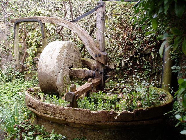
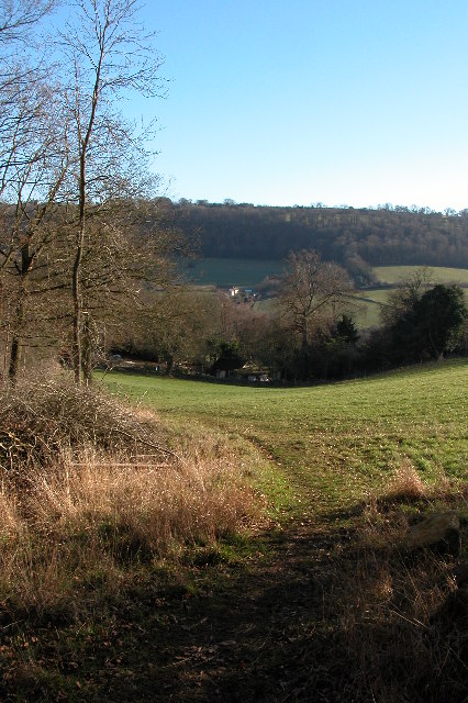
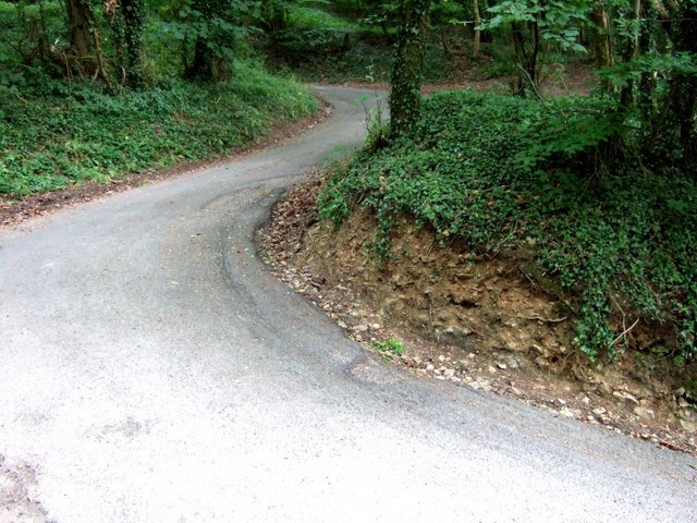
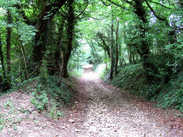
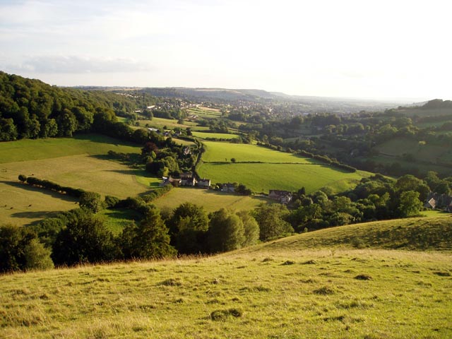
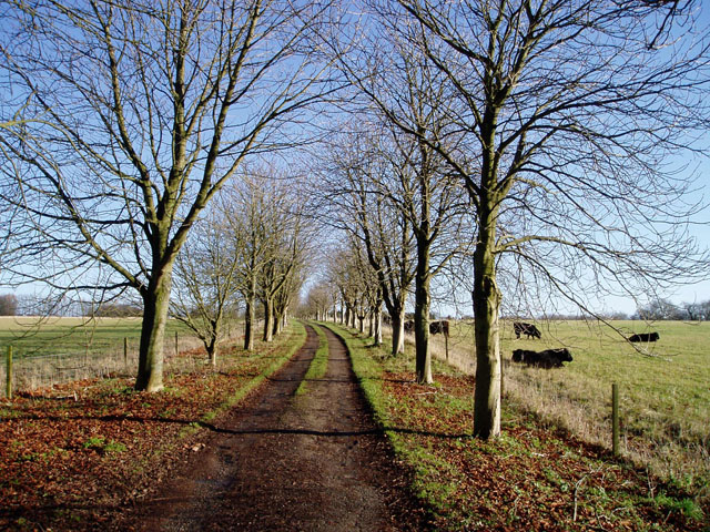
Round Elm is a charming woodland located in Gloucestershire, England. Situated within the larger Forest of Dean, this idyllic location is known for its natural beauty and tranquil atmosphere. Covering an area of approximately 150 hectares, Round Elm is predominantly composed of ancient oak trees, creating a dense and enchanting forest environment.
The woodland is a haven for wildlife, providing a diverse range of habitats for various species. Visitors may spot native birds such as woodpeckers, owls, and buzzards, as well as small mammals like foxes, rabbits, and badgers. The forest floor is adorned with a rich carpet of bluebells in spring, while ferns and mosses thrive in the shady areas, adding to the woodland's ethereal appeal.
Round Elm is a popular destination for nature enthusiasts and outdoor adventurers alike. It offers numerous walking trails and paths, allowing visitors to explore the stunning surroundings at their own pace. The forest is also well-equipped with picnic areas, making it a perfect spot for a family day out or a peaceful retreat.
In addition to its natural beauty, Round Elm holds historical significance. The woodland is said to have been used as a hunting ground by ancient kings and has remnants of ancient earthworks, adding an element of intrigue to the area.
Overall, Round Elm in Gloucestershire is a picturesque and captivating woodland, offering a serene escape from the hustle and bustle of everyday life. Whether it's a leisurely stroll, birdwatching, or simply enjoying the tranquility of nature, this forest is sure to leave a lasting impression on all who visit.
If you have any feedback on the listing, please let us know in the comments section below.
Round Elm Images
Images are sourced within 2km of 51.748301/-2.1746708 or Grid Reference SO8805. Thanks to Geograph Open Source API. All images are credited.


Round Elm is located at Grid Ref: SO8805 (Lat: 51.748301, Lng: -2.1746708)
Administrative County: Gloucestershire
District: Stroud
Police Authority: Gloucestershire
What 3 Words
///poses.bypasses.reservoir. Near Stroud, Gloucestershire
Nearby Locations
Related Wikis

Lypiatt Park
Lypiatt Park is a medieval and Tudor manor house with notable nineteenth-century additions in the parish of Bisley, near Stroud, in Gloucestershire, England...

Swift's Hill SSSI
Swift's Hill (grid reference SO877067) is a 9.15-hectare (22.6-acre) biological and geological Site of Special Scientific Interest in Gloucestershire,...
Eastcombe, Gloucestershire
Eastcombe is a village in Stroud District in Gloucestershire, England. The Parish Church is called Eastcombe: St Augustine and served the parish of Bussage...

Bisley-with-Lypiatt
Bisley-with-Lypiatt is a civil parish in the Stroud district of Gloucestershire, England. It had a population of 2350 in 2019. It includes Bisley, Lypiatt...

Thomas Keble School
Thomas Keble School is a mixed secondary school located in Eastcombe in the English county of Gloucestershire. The school is named after Thomas Keble,...

Nether Lypiatt Manor
Nether Lypiatt Manor is a compact, neo-Classical manor house in the mainly rural parish of Thrupp, near Stroud in Gloucestershire. It was formerly the...

Slad
Slad is a village in Gloucestershire, England, in the Slad Valley about 2 miles (3 km) from Stroud on the B4070 road from Stroud to Birdlip. Slad is notable...
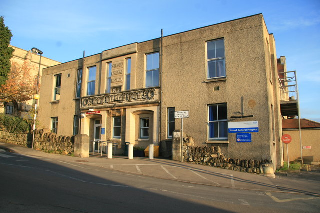
Stroud General Hospital
Stroud General Hospital is a health facility in Trinity Road in Stroud, Gloucestershire, England. It is managed by Gloucestershire Health and Care NHS...
Nearby Amenities
Located within 500m of 51.748301,-2.1746708Have you been to Round Elm?
Leave your review of Round Elm below (or comments, questions and feedback).