Binnegar Coppice

Wood, Forest in Dorset

England

Binnegar Coppice

Grazing and woodland, East Stoke
Grazing and woodland, East Stoke Credit: JThomas

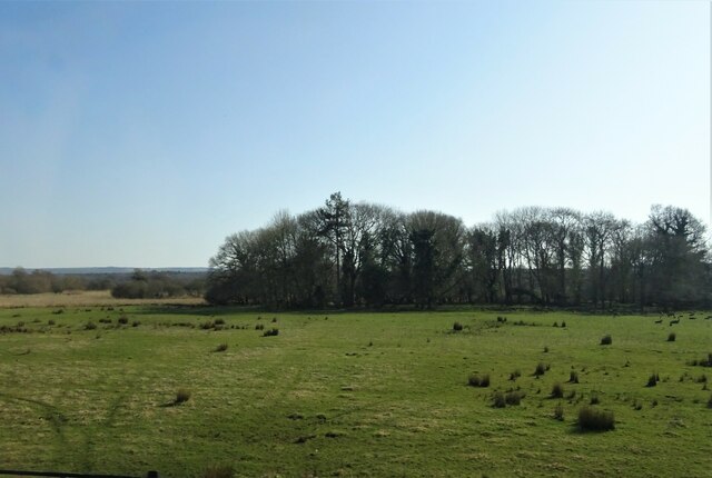
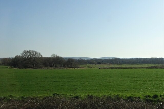
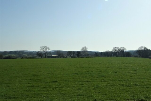
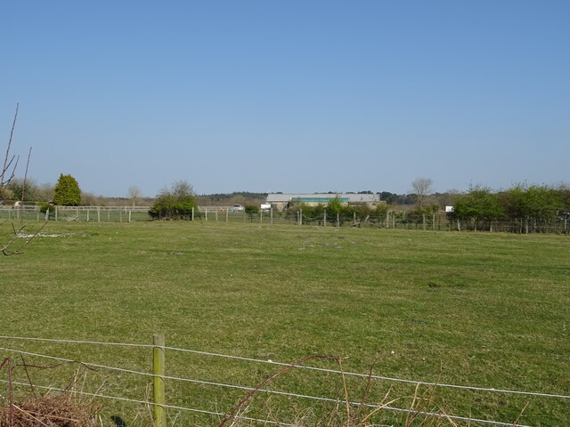
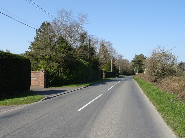
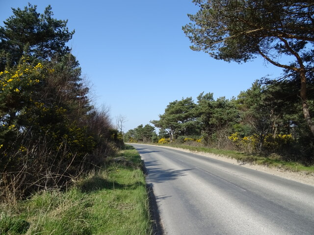
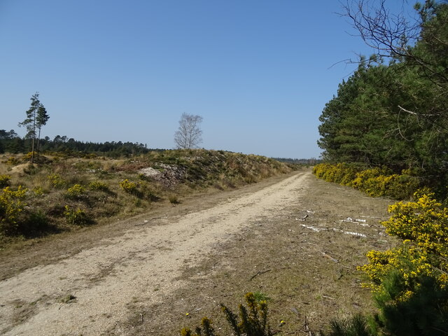
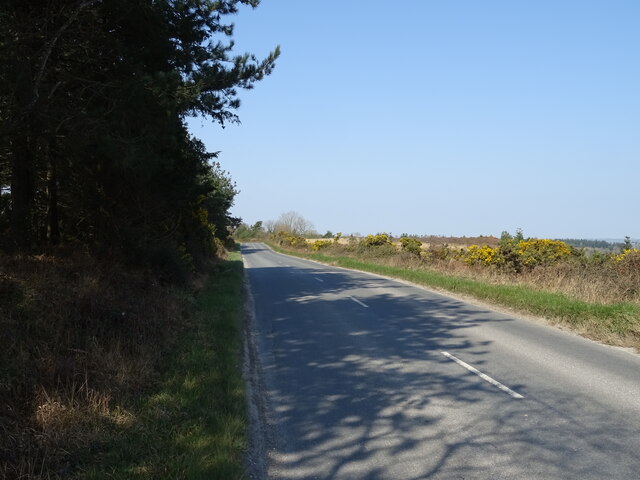
Binnegar Coppice is a picturesque woodland located in Dorset, England. Covering an area of approximately 100 acres, it is a designated Site of Special Scientific Interest (SSSI). The coppice is situated near the village of Bere Regis and is known for its diverse range of flora and fauna.

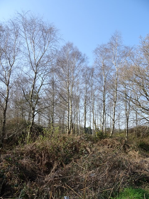
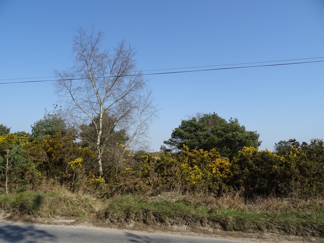
The woodland is predominantly made up of broadleaf trees, including oak, beech, and ash, which create a dense canopy that filters sunlight, giving the forest a mystical ambiance. The forest floor is covered with a rich carpet of wildflowers, such as bluebells and primroses, which bloom in abundance during the spring months, attracting visitors from far and wide.

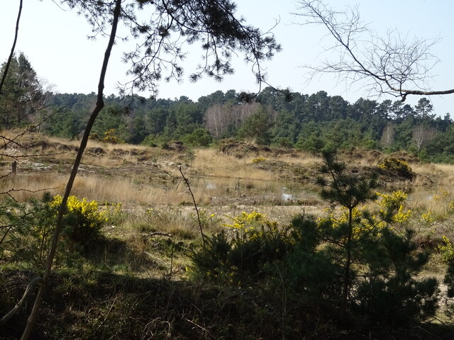
Binnegar Coppice is home to a variety of wildlife, including several species of birds, such as woodpeckers, owls, and warblers, which can be heard singing melodiously throughout the day. The woodland also provides a habitat for small mammals, including badgers, foxes, and rabbits.

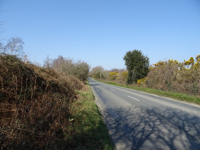
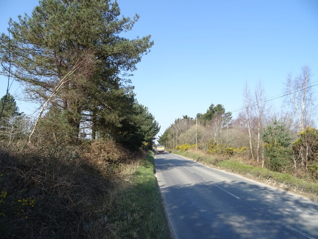
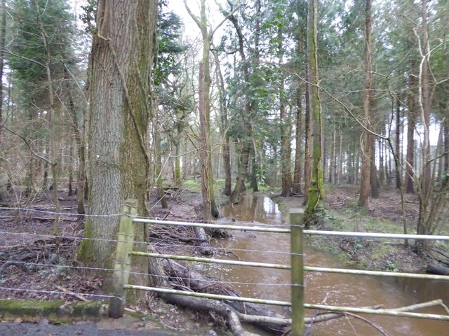
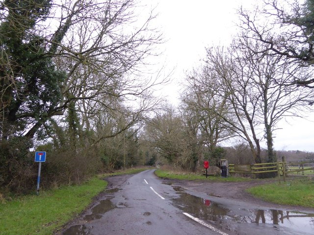
The forest offers several nature trails, allowing visitors to explore its natural beauty at their leisure. These trails wind their way through the woodland, passing by tranquil ponds and meandering streams, providing a peaceful and serene atmosphere for nature lovers and walkers alike.

Binnegar Coppice is managed by the Forestry Commission, which ensures the preservation of its unique ecosystem. The organization conducts regular maintenance work, such as tree thinning and habitat restoration, to maintain the health and biodiversity of the woodland.

Overall, Binnegar Coppice is a captivating woodland that offers a sanctuary for wildlife and a peaceful escape for visitors seeking solace in nature's embrace.

If you have any feedback on the listing, please let us know in the comments section below.

Binnegar Coppice Images

Images are sourced within 2km of 50.68656/-2.1706644 or Grid Reference SY8887. Thanks to Geograph Open Source API. All images are credited.

Grazing and woodland, East Stoke
Grazing, East Stoke
Grazing, East Stoke
Grazing towards Rushton Farm
Grazing, Worgret
Grazing, Worgret
Puddletown Road
Puddletown Road
Birch woodland beside Puddletown Road
Puddletown Road
Puddletown Road
Entrance to Wareham Eco Park
Bend in Puddletown Road
Woodland beside Puddletown Road
Puddletown Road
Puddletown Road
Gravel Pit, Stokeford Heath
Track, Stokeford Heath
Puddletown Road
Puddletown Road
Stream in the woods north of Highwood Heath A muddy stream after a spell of heavy rain
Stream in the woods north of Highwood Heath
A muddy stream after a spell of heavy rain
Crossroads south of East Stoke
No through road serving Highwood and nearby farms
Defending Dorset in 1940: the Maiden Newton - Poole Harbour Stop Line (75) -
Pillbox (type FW3/22): DoB ID: e11693

East Stoke - Stokeford - Type 22 Pillbox.  This pillbox alongside the main A352 Wool to Wareham road, is strategically located alongside a ruined ammunition store at a road junction, just to the north of the Dorchester to Poole railway and the River Frome. It has a particularly interesting feature that was uncovered in 2010 when members of the PSG set about clearing trees and other encroached vegetation that had surrounded it. The work uncovered evidence that the roof had been provided with the means to break up the outline of the pillbox with a disguise. A hole was uncovered in the centre that could have accommodated a pole from which wires presumably were suspended leading to securing bolts that still survive at each of the six corners. This could have supported a canvas or other covering stretched over the wires to form a conical type "roof". Note the fume vent hole above the embrasure, and the protected entrance. The pillbox appears to have been built entirely of concrete.

<a href="https://www.geograph.org.uk/photo/4842434">SY8787 : Defending Dorset in 1940: the Maiden Newton - Poole Harbour Stop Line (76)</a>
Defending Dorset in 1940: the Maiden Newton - Poole Harbour Stop Line (75)
- Pillbox (type FW3/22): DoB ID: e11693 East Stoke - Stokeford - Type 22 Pillbox. This pillbox alongside the main A352 Wool to Wareham road, is strategically located alongside a ruined ammunition store at a road junction, just to the north of the Dorchester to Poole railway and the River Frome. It has a particularly interesting feature that was uncovered in 2010 when members of the PSG set about clearing trees and other encroached vegetation that had surrounded it. The work uncovered evidence that the roof had been provided with the means to break up the outline of the pillbox with a disguise. A hole was uncovered in the centre that could have accommodated a pole from which wires presumably were suspended leading to securing bolts that still survive at each of the six corners. This could have supported a canvas or other covering stretched over the wires to form a conical type "roof". Note the fume vent hole above the embrasure, and the protected entrance. The pillbox appears to have been built entirely of concrete. SY8787 : Defending Dorset in 1940: the Maiden Newton - Poole Harbour Stop Line (76)
Show me another place!

Binnegar Coppice is located at Grid Ref: SY8887 (Lat: 50.68656, Lng: -2.1706644)

Unitary Authority: Dorset

Police Authority: Dorset

What 3 Words

///soaks.ankle.handrail. Near Wool, Dorset

Related Wikis

East Stoke, Dorset

East Stoke is a village in the English county of Dorset. It lies three miles west of the small town of Wareham and two miles east of Wool. In 2013 the...

Worgret Heath

Worgret Heath SSSI, Dorset (grid reference SY895871) is an 8.4 hectare biological Site of Special Scientific Interest in Dorset, notified in 1987.The site...

East Holme

East Holme is a small village and civil parish situated about halfway between Wool and Wareham in Dorset, England. The village is sprawled around a large...

Holme Priory

Holme Priory, also known as East Holne Priory, was a priory in Dorset, England. == 12th century == The priory of Holme, or Holne as it was anciently called...

Worgret

Worgret is a hamlet in the English county of Dorset. It is situated immediately to the west of the town of Wareham. Worgret forms part of the civil parish...

Trigon Hill

Trigon Hill is a hill on the edge of a clay pit near Cold Harbour, Dorset, on the Dorset Heaths. It rises about 3 kilometres northwest of the centre of...

The Purbeck School

The Purbeck School is a coeducational secondary school and sixth form located in Wareham in the central southern area of Dorset, England, on the Isle of...

Purbeck miniature railway

Purbeck Miniature Railway was a 7+1⁄4 in (184 mm) gauge miniature railway, located at The Purbeck School near Wareham, Dorset, England. Construction started...

Nearby Amenities

Located within 500m of 50.68656,-2.1706644
Material: wood
Power: pole
Source: bing
Transformer: distribution
Lat/Long: 50.6849398/-2.1666268
Material: wood
Power: pole
Ref: 57104116
Ref Switch: 708?8
Source: survey
Source Ref: survey
Switch: mechanical
Lat/Long: 50.6854185/-2.1677235
Material: wood
Note: Vertically stacked wires
Power: pole
Ref: 57104115
Source: survey
Source Ref: survey
Lat/Long: 50.6857062/-2.1683611
Material: wood
Power: pole
Ref: 57104114
Source: bing
Source Ref: survey
Lat/Long: 50.686496/-2.1677948
Material: wood
Power: pole
Ref: 57104113
Source: bing
Source Ref: survey
Lat/Long: 50.6874045/-2.1671206
Material: wood
Power: pole
Ref: 57104112
Source: bing
Source Ref: survey
Lat/Long: 50.6879491/-2.1669495
Material: wood
Power: pole
Ref: 57104107
Source: bing
Source Ref: survey
Lat/Long: 50.6885092/-2.1667682
Material: wood
Power: pole
Ref: 57104106
Source: bing
Source Ref: survey
Lat/Long: 50.6890266/-2.1666073
Railway Crossing Rushton PMT
Material: wood
Power: pole
Source: bing
Transformer: distribution
Voltage Primary: 11000
Voltage Secondary: 400
Voltage Tertiary: 230
Lat/Long: 50.6821656/-2.1718425
Material: wood
Power: pole
Source: bing
Lat/Long: 50.6838645/-2.1715704
East Stoke No1 PMT
Material: wood
Operator: SSE
Power: pole
Ref: 57104123
Source: bing
Source Name: survey
Transformer: distribution
Lat/Long: 50.6838606/-2.1734879
Material: wood
Power: pole
Source: bing
Switch: mechanical
Lat/Long: 50.6844603/-2.1706346
Material: wood
Power: pole
Source: bing
Lat/Long: 50.6832178/-2.1721255
Material: wood
Power: pole
Ref: 57104126
Source: bing
Lat/Long: 50.683862/-2.1748921
Material: wood
Power: pole
Ref: 57104125
Source: bing
Lat/Long: 50.6838648/-2.1743723
Material: wood
Power: pole
Ref: 57104124
Source: bing
Lat/Long: 50.6838667/-2.1739166
Material: wood
Power: pole
Ref: 57104127
Source: bing
Lat/Long: 50.6838677/-2.1754894
Material: wood
Power: pole
Ref: 57104128
Source: bing
Lat/Long: 50.6838714/-2.1760404
Binnegar
Place: hamlet
Lat/Long: 50.6840167/-2.1686728
Material: wood
Power: pole
Source: survey
Lat/Long: 50.688748/-2.1673943
Material: wood
Power: pole
Source: survey
Lat/Long: 50.6852862/-2.1691427
Material: wood
Power: pole
Source: bing
Lat/Long: 50.6847406/-2.1659338
Fire Hydrant
Emergency: fire_hydrant
Fire Hydrant Diameter: 4 inch
Fire Hydrant Type: underground
Ref: 9789
Source: GPS+GLONASS
Lat/Long: 50.683259/-2.169981
Board Type: notice
Information: board
Tourism: information
Lat/Long: 50.6831884/-2.174501
Post Box
Collection Times: Mo-Fr 17:15; Sa 09:30
Operator: Royal Mail
Post Box Type: lamp
Ref: BH20 73
Ref GB Uprn: 10015474211
Royal Cypher: EIIR
Royal Cypher Wikidata: Q33102113
Source: GPS+GLONASS
Lat/Long: 50.6831916/-2.17456
Fire Hydrant
Emergency: fire_hydrant
Fire Hydrant Diameter: 100
Fire Hydrant Type: underground
Ref: 11331
Source: GPS+GLONASS
Lat/Long: 50.683146/-2.174701
Fire Hydrant
Emergency: fire_hydrant
Fire Hydrant Diameter: 100
Fire Hydrant Type: underground
Ref: 4904
Source: GPS+GLONASS
Lat/Long: 50.683021/-2.167601
Power: pole
Source: bing
Lat/Long: 50.689566/-2.1664511
Power: pole
Source: bing
Lat/Long: 50.6838673/-2.1725437
Farrer Estate
Lat/Long: 50.6839537/-2.1672556
Bus Stop
Middlefield
Bus: yes
Public Transport: platform
Lat/Long: 50.6831661/-2.1739875
Bus Stop
Middlefield
Bus: yes
Public Transport: platform
Lat/Long: 50.6830705/-2.1739947
The data included in this document is from www.openstreetmap.org. The data is made available under ODbL.

Have you been to Binnegar Coppice?

Leave your review of Binnegar Coppice below (or comments, questions and feedback).