Jubilee Plantation
Wood, Forest in Dorset
England
Jubilee Plantation
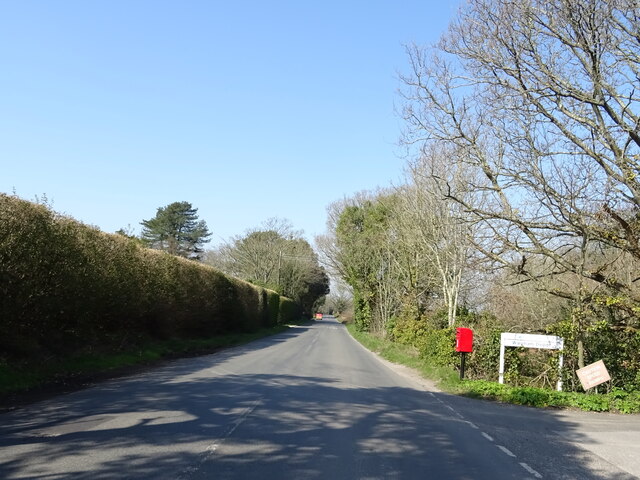
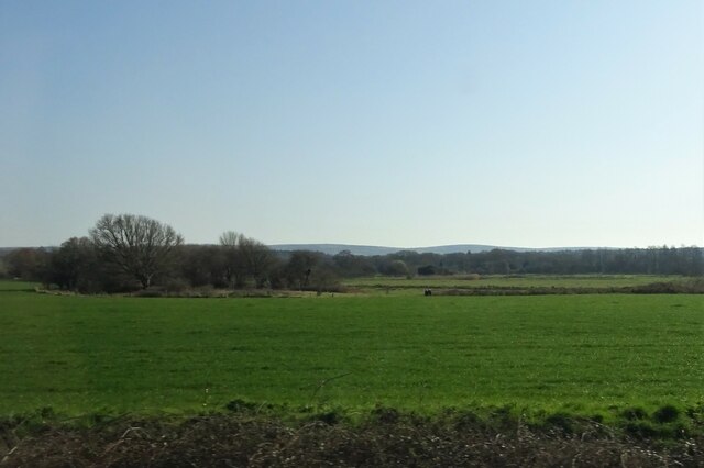
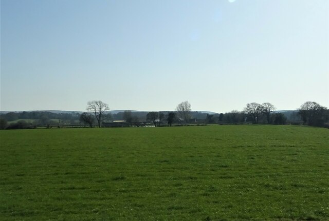
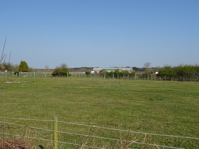
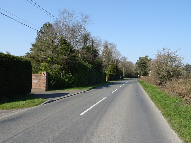
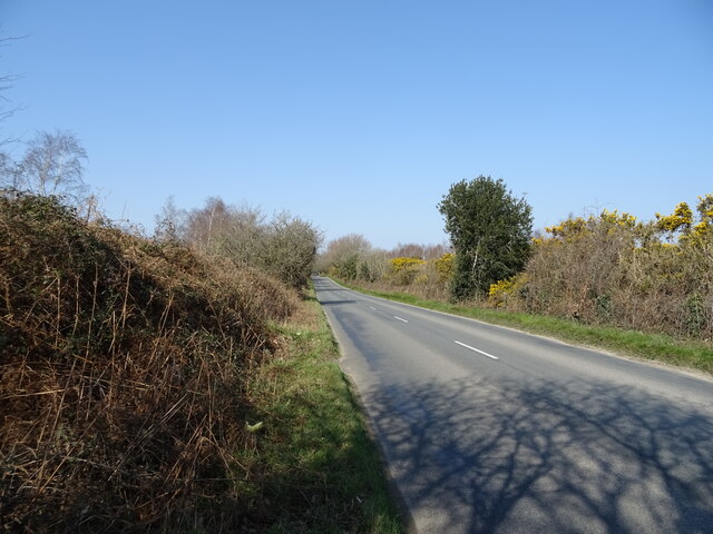
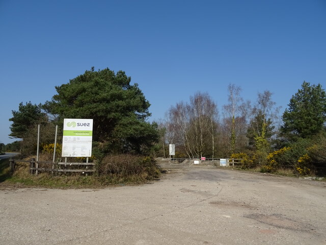
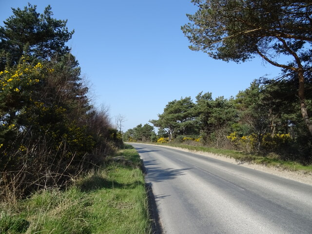
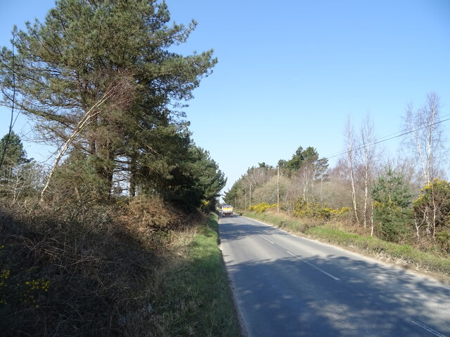
Jubilee Plantation is a picturesque woodland located in the county of Dorset, England. Situated in the heart of the Dorset Area of Outstanding Natural Beauty, this enchanting forest covers an area of approximately 100 acres. The plantation is easily accessible, nestled just a few miles away from the bustling market town of Wimborne Minster.
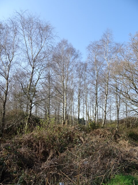
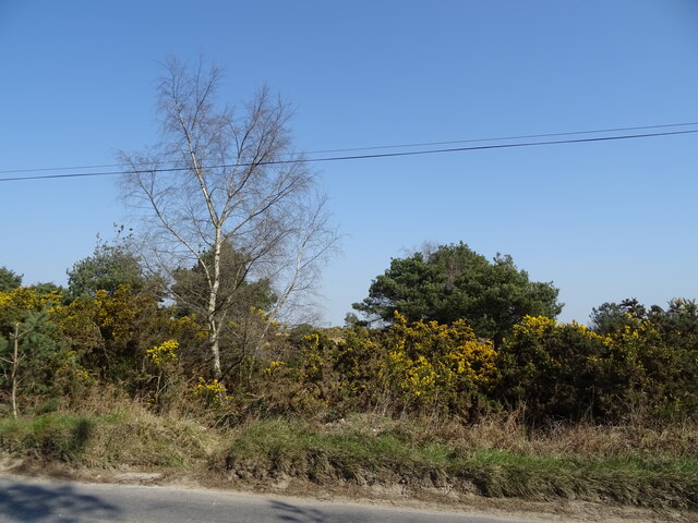
The woodland is predominantly made up of mature broadleaf trees, such as oak, beech, and birch, creating a diverse and vibrant ecosystem. The lush undergrowth is adorned with wildflowers, ferns, and mosses, adding to the area's natural beauty. Jubilee Plantation is known for its tranquil atmosphere, making it a popular spot for nature lovers, walkers, and photographers.
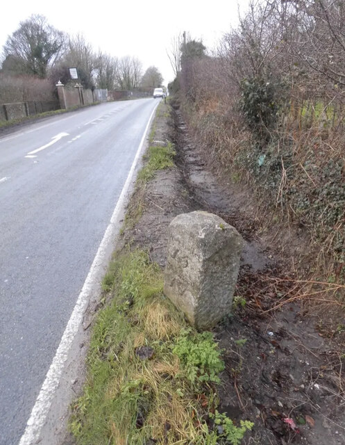
The plantation offers a network of well-maintained footpaths, allowing visitors to explore its natural wonders. A circular trail takes visitors through the heart of the woodland, passing by ancient trees and offering breathtaking views of the surrounding countryside. The plantation is also home to a variety of wildlife, including deer, foxes, and a myriad of bird species, providing ample opportunities for wildlife enthusiasts to spot and observe these creatures in their natural habitat.
Jubilee Plantation is open to the public year-round, offering a peaceful retreat from the hustle and bustle of everyday life. Whether you are seeking a leisurely stroll, a family picnic, or a chance to connect with nature, this idyllic woodland provides a haven for all who visit.
If you have any feedback on the listing, please let us know in the comments section below.
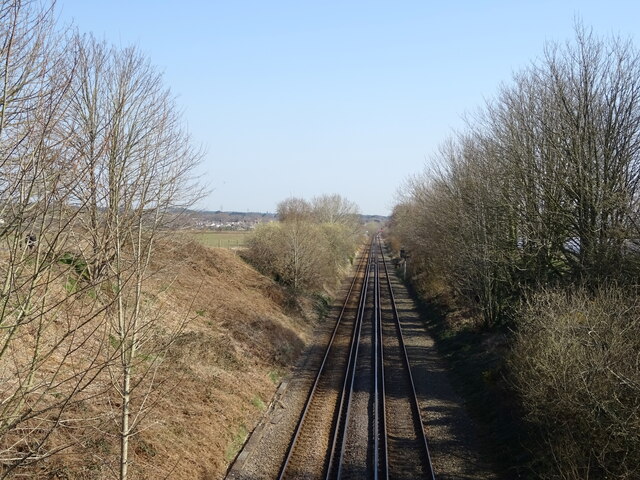
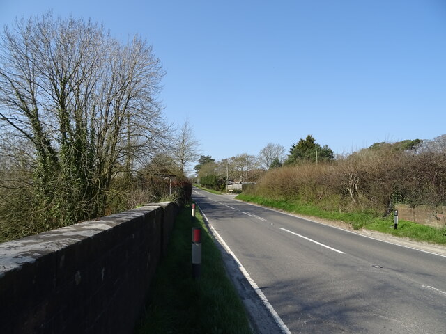
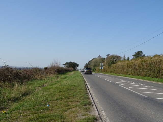
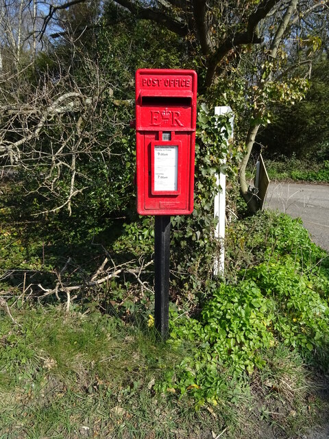
Jubilee Plantation Images
Images are sourced within 2km of 50.686773/-2.1594821 or Grid Reference SY8887. Thanks to Geograph Open Source API. All images are credited.


Jubilee Plantation is located at Grid Ref: SY8887 (Lat: 50.686773, Lng: -2.1594821)
Unitary Authority: Dorset
Police Authority: Dorset
What 3 Words
///improving.heats.tradition. Near Wareham, Dorset
Related Wikis

Worgret Heath
Worgret Heath SSSI, Dorset (grid reference SY895871) is an 8.4 hectare biological Site of Special Scientific Interest in Dorset, notified in 1987.The site...

East Holme
East Holme is a small village and civil parish situated about halfway between Wool and Wareham in Dorset, England. The village is sprawled around a large...
Holme Priory
Holme Priory, also known as East Holne Priory, was a priory in Dorset, England. == 12th century == The priory of Holme, or Holne as it was anciently called...

Worgret
Worgret is a hamlet in the English county of Dorset. It is situated immediately to the west of the town of Wareham. Worgret forms part of the civil parish...

East Stoke, Dorset
East Stoke is a village in the English county of Dorset. It lies three miles west of the small town of Wareham and two miles east of Wool. In 2013 the...
Trigon Hill
Trigon Hill is a hill on the edge of a clay pit near Cold Harbour, Dorset, on the Dorset Heaths. It rises about 3 kilometres northwest of the centre of...
The Purbeck School
The Purbeck School is a coeducational secondary school and sixth form located in Wareham in the central southern area of Dorset, England, on the Isle of...
Purbeck miniature railway
Purbeck Miniature Railway was a 7+1⁄4 in (184 mm) gauge miniature railway, located at The Purbeck School near Wareham, Dorset, England. Construction started...
Nearby Amenities
Located within 500m of 50.686773,-2.1594821Have you been to Jubilee Plantation?
Leave your review of Jubilee Plantation below (or comments, questions and feedback).