Oak Grove
Wood, Forest in Dorset
England
Oak Grove
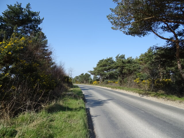
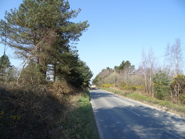
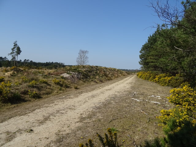
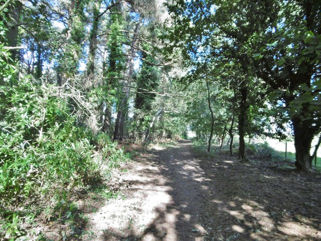
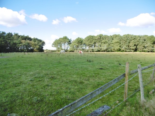
Oak Grove is a picturesque woodland located in Dorset, England. Situated in the southwestern region of the country, this forested area is renowned for its natural beauty and diverse ecosystem. Covering an expansive area, Oak Grove is home to a variety of oak trees, which lend their name to this enchanting location.
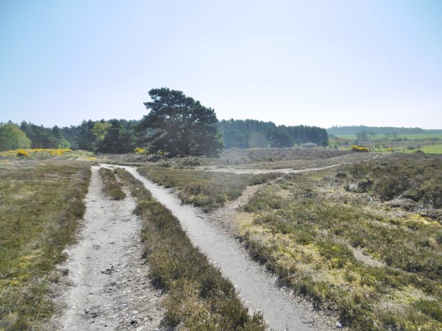
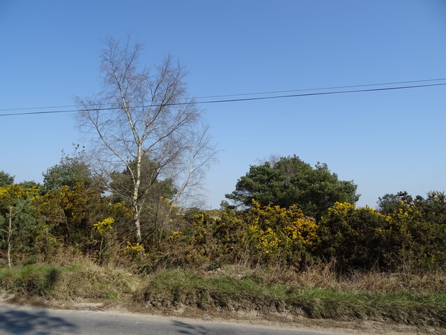
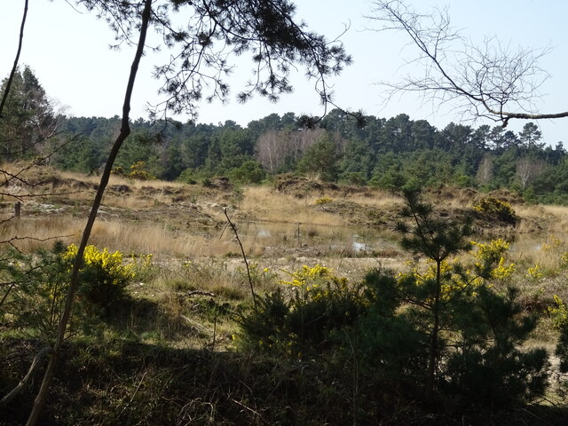
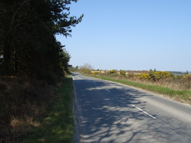
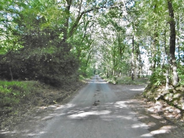
The forest is characterized by its dense foliage, consisting of tall, majestic oak trees that provide ample shade and create a serene atmosphere. The forest floor is adorned with a rich carpet of vibrant green moss, adding to the ethereal charm of the area. Numerous walking trails meander through the woods, allowing visitors to explore the woodland at their own pace.
Oak Grove is not only a haven for nature enthusiasts but also serves as a habitat for a wide array of wildlife. The forest teems with a diverse range of fauna, including deer, squirrels, rabbits, and a plethora of bird species. Birdwatchers flock to this area to catch a glimpse of rare and migratory birds that visit the forest throughout the year.
In addition to its natural wonders, Oak Grove also offers recreational activities for visitors. Picnic areas are scattered throughout the forest, providing the perfect setting for a tranquil outdoor meal. The forest is also a popular spot for camping, with designated campsites offering a peaceful retreat amidst nature.
Overall, Oak Grove in Dorset is a captivating woodland that showcases the beauty of the English countryside. With its towering oaks, flourishing wildlife, and recreational opportunities, this forest is a must-visit destination for those seeking solace in nature.
If you have any feedback on the listing, please let us know in the comments section below.
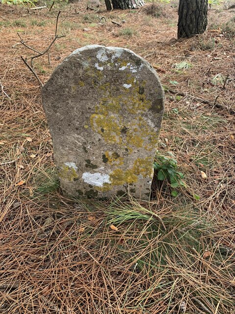
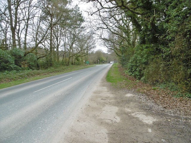
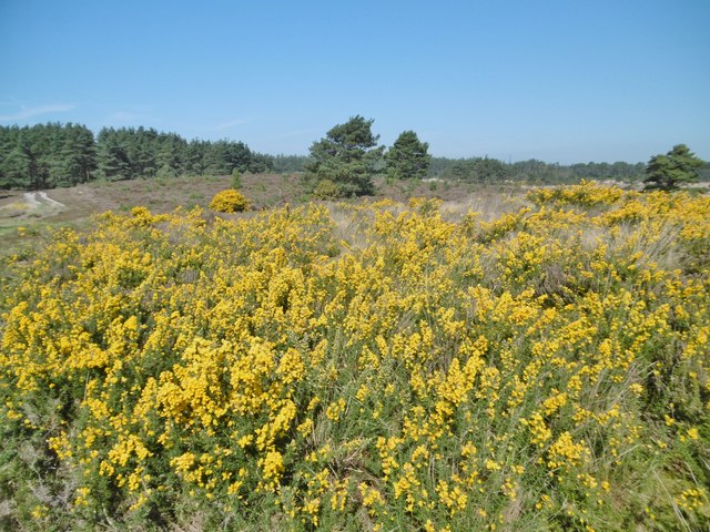
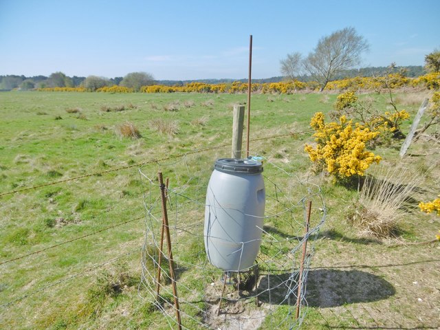
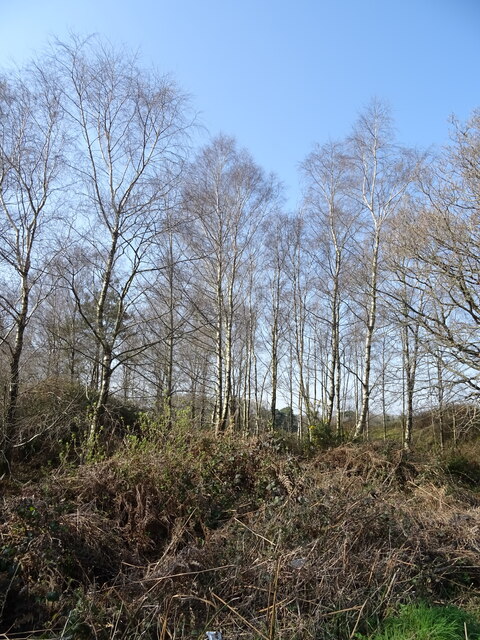
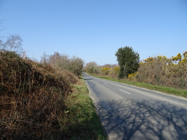
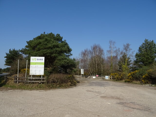
Oak Grove Images
Images are sourced within 2km of 50.699779/-2.1647229 or Grid Reference SY8888. Thanks to Geograph Open Source API. All images are credited.
Oak Grove is located at Grid Ref: SY8888 (Lat: 50.699779, Lng: -2.1647229)
Unitary Authority: Dorset
Police Authority: Dorset
What 3 Words
///strategy.edge.loom. Near Wareham, Dorset
Related Wikis

Trigon Hill
Trigon Hill is a hill on the edge of a clay pit near Cold Harbour, Dorset, on the Dorset Heaths. It rises about 3 kilometres northwest of the centre of...
Wareham Forest
Wareham Forest is an area of countryside in Dorset, England, consisting of open heathland, including Decoy Heath and Gore Heath, and plantations of conifers...
Worgret Heath
Worgret Heath SSSI, Dorset (grid reference SY895871) is an 8.4 hectare biological Site of Special Scientific Interest in Dorset, notified in 1987.The site...

East Stoke, Dorset
East Stoke is a village in the English county of Dorset. It lies three miles west of the small town of Wareham and two miles east of Wool. In 2013 the...

Worgret
Worgret is a hamlet in the English county of Dorset. It is situated immediately to the west of the town of Wareham. Worgret forms part of the civil parish...

East Holme
East Holme is a small village and civil parish situated about halfway between Wool and Wareham in Dorset, England. The village is sprawled around a large...
Holme Priory
Holme Priory, also known as East Holne Priory, was a priory in Dorset, England. == 12th century == The priory of Holme, or Holne as it was anciently called...
Purbeck miniature railway
Purbeck Miniature Railway was a 7+1⁄4 in (184 mm) gauge miniature railway, located at The Purbeck School near Wareham, Dorset, England. Construction started...
Nearby Amenities
Located within 500m of 50.699779,-2.1647229Have you been to Oak Grove?
Leave your review of Oak Grove below (or comments, questions and feedback).