Longmeadow Coppices

Wood, Forest in Dorset

England

Longmeadow Coppices

Grazing, East Stoke
Grazing, East Stoke Credit: JThomas

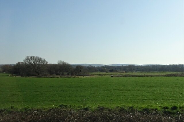
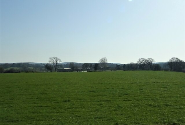
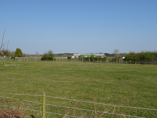
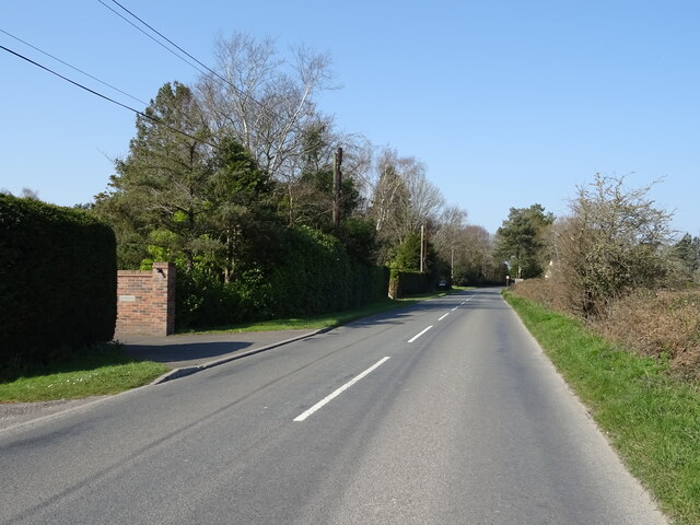
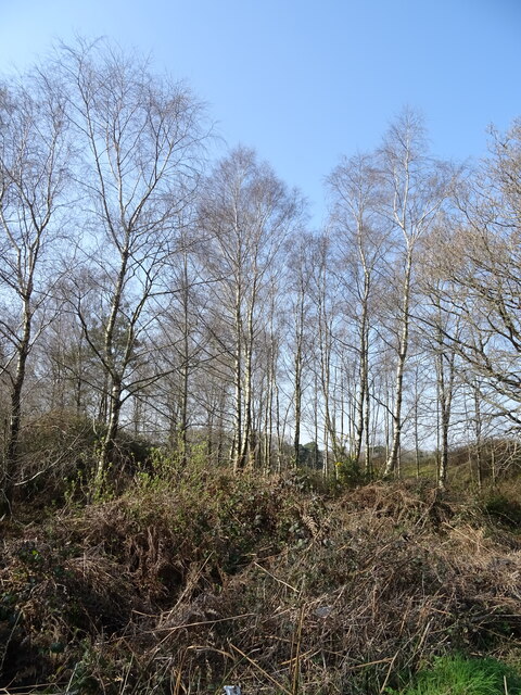
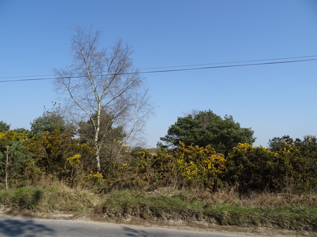
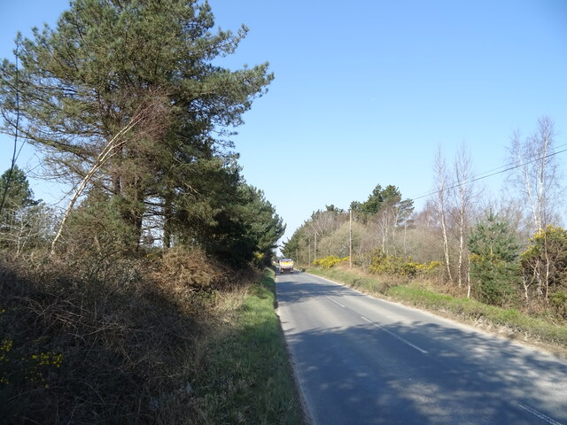
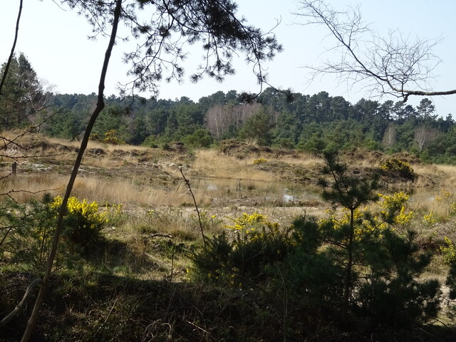
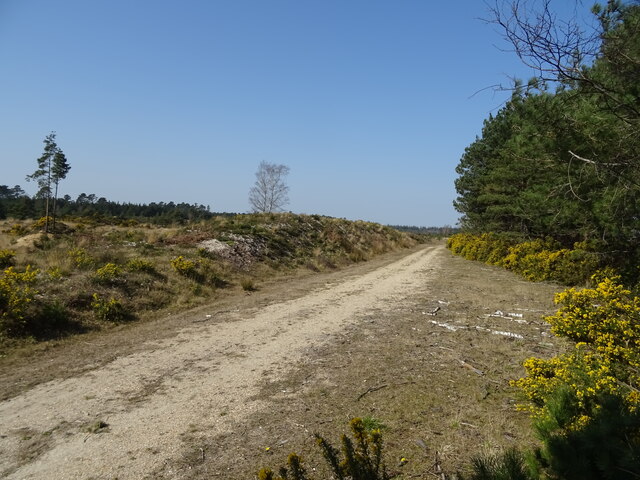
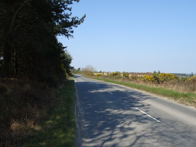
Longmeadow Coppices, located in Dorset, is a beautiful woodland area known for its scenic landscapes and abundant wildlife. Spanning across a vast area, this woodland is often referred to as a forest due to its dense vegetation and large number of trees.

The forest is predominantly composed of deciduous trees, including oak, beech, and ash, which create a stunning display of colors during the autumn months. The lush undergrowth consists of ferns, wildflowers, and mosses, adding to the overall enchanting atmosphere of the coppices.

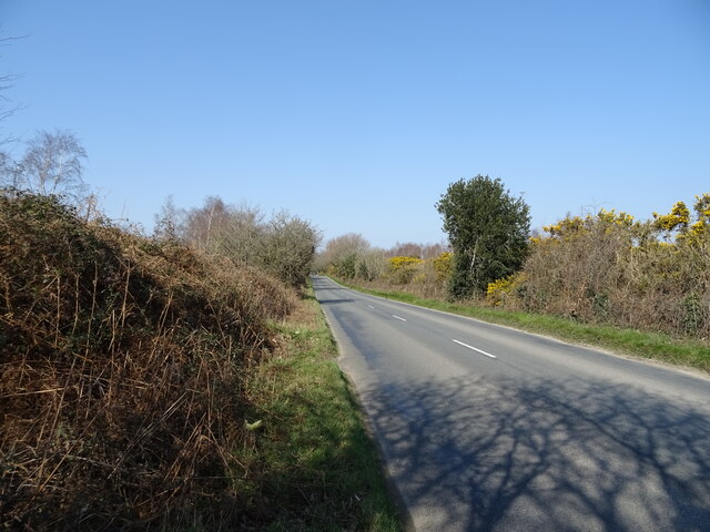
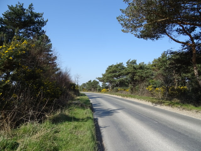
Longmeadow Coppices is a popular destination for nature enthusiasts and hikers, offering a network of well-maintained trails that wind through the forest. These trails provide opportunities for visitors to observe the diverse array of wildlife that calls the area home. Red deer, badgers, foxes, and a variety of bird species can often be spotted within the woodland, making it a haven for nature lovers and wildlife photographers.

The forest also serves as an important ecological site, contributing to the preservation of local biodiversity. Longmeadow Coppices is home to several protected species, including the rare Lesser Horseshoe Bat, which has found sanctuary among the trees.

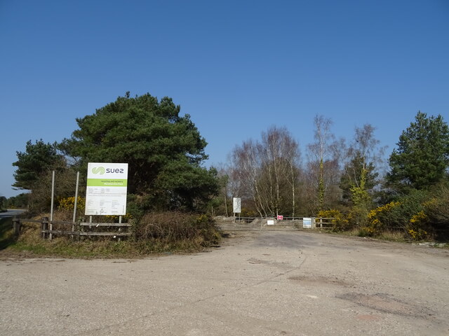
Furthermore, the forest is managed sustainably, with careful consideration given to forestry practices to ensure the long-term health of the woodland ecosystem. This includes selective logging and tree planting initiatives, which help maintain a balanced and thriving environment.

Overall, Longmeadow Coppices is a captivating woodland destination, offering visitors a chance to immerse themselves in the natural beauty of Dorset while contributing to the conservation efforts of this precious ecosystem.

If you have any feedback on the listing, please let us know in the comments section below.

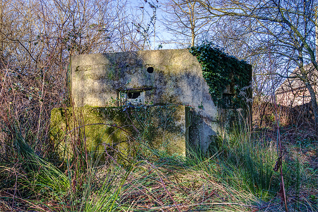
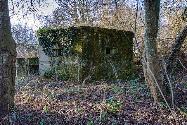
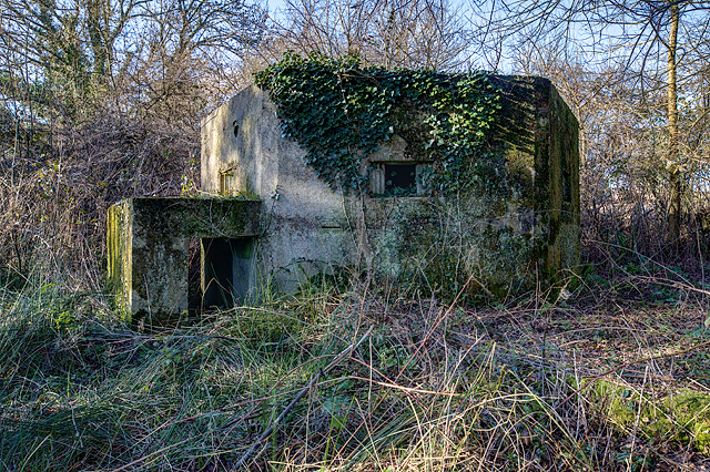
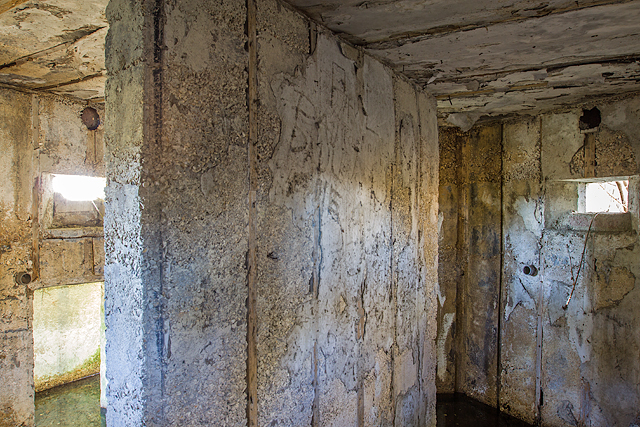
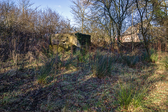
Longmeadow Coppices Images

Images are sourced within 2km of 50.694754/-2.163162 or Grid Reference SY8888. Thanks to Geograph Open Source API. All images are credited.

Grazing, East Stoke
Grazing, East Stoke
Grazing towards Rushton Farm
Grazing, Worgret
Grazing, Worgret
Puddletown Road
Puddletown Road
Birch woodland beside Puddletown Road
Puddletown Road
Puddletown Road
Entrance to Wareham Eco Park
Bend in Puddletown Road
Woodland beside Puddletown Road
Puddletown Road
Puddletown Road
Gravel Pit, Stokeford Heath
Track, Stokeford Heath
Puddletown Road
Puddletown Road
Defending Dorset in 1940: the Maiden Newton - Poole Harbour Stop Line (75) -
Pillbox (type FW3/22): DoB ID: e11693

East Stoke - Stokeford - Type 22 Pillbox.  This pillbox alongside the main A352 Wool to Wareham road, is strategically located alongside a ruined ammunition store at a road junction, just to the north of the Dorchester to Poole railway and the River Frome. It has a particularly interesting feature that was uncovered in 2010 when members of the PSG set about clearing trees and other encroached vegetation that had surrounded it. The work uncovered evidence that the roof had been provided with the means to break up the outline of the pillbox with a disguise. A hole was uncovered in the centre that could have accommodated a pole from which wires presumably were suspended leading to securing bolts that still survive at each of the six corners. This could have supported a canvas or other covering stretched over the wires to form a conical type "roof". Note the fume vent hole above the embrasure, and the protected entrance. The pillbox appears to have been built entirely of concrete.

<a href="https://www.geograph.org.uk/photo/4842434">SY8787 : Defending Dorset in 1940: the Maiden Newton - Poole Harbour Stop Line (76)</a>
Defending Dorset in 1940: the Maiden Newton - Poole Harbour Stop Line (75)
- Pillbox (type FW3/22): DoB ID: e11693 East Stoke - Stokeford - Type 22 Pillbox. This pillbox alongside the main A352 Wool to Wareham road, is strategically located alongside a ruined ammunition store at a road junction, just to the north of the Dorchester to Poole railway and the River Frome. It has a particularly interesting feature that was uncovered in 2010 when members of the PSG set about clearing trees and other encroached vegetation that had surrounded it. The work uncovered evidence that the roof had been provided with the means to break up the outline of the pillbox with a disguise. A hole was uncovered in the centre that could have accommodated a pole from which wires presumably were suspended leading to securing bolts that still survive at each of the six corners. This could have supported a canvas or other covering stretched over the wires to form a conical type "roof". Note the fume vent hole above the embrasure, and the protected entrance. The pillbox appears to have been built entirely of concrete. SY8787 : Defending Dorset in 1940: the Maiden Newton - Poole Harbour Stop Line (76)
Defending Dorset in 1940: the Maiden Newton - Poole Harbour Stop Line (76) -
Pillbox (type FW3/22): DoB ID: e11693

East Stoke - Stokeford - Type 22 Pillbox.  A view from a different angle showing two of the embrasures complete with large fume vent holes above.

<a href="https://www.geograph.org.uk/photo/4842438">SY8787 : Defending Dorset in 1940: the Maiden Newton - Poole Harbour Stop Line (77)</a>
Defending Dorset in 1940: the Maiden Newton - Poole Harbour Stop Line (76)
- Pillbox (type FW3/22): DoB ID: e11693 East Stoke - Stokeford - Type 22 Pillbox. A view from a different angle showing two of the embrasures complete with large fume vent holes above. SY8787 : Defending Dorset in 1940: the Maiden Newton - Poole Harbour Stop Line (77)
Defending Dorset in 1940: the Maiden Newton - Poole Harbour Stop Line (77) -
Pillbox (type FW3/22): DoB ID: e11693

East Stoke - Stokeford - Type 22 Pillbox. A view towards the protected entrance that requires a crouched attitude in order to gain access. Once inside however, there is plenty of headroom.

<a href="https://www.geograph.org.uk/photo/4842442">SY8787 : Defending Dorset in 1940: the Maiden Newton - Poole Harbour Stop Line (78)</a>
Defending Dorset in 1940: the Maiden Newton - Poole Harbour Stop Line (77)
- Pillbox (type FW3/22): DoB ID: e11693 East Stoke - Stokeford - Type 22 Pillbox. A view towards the protected entrance that requires a crouched attitude in order to gain access. Once inside however, there is plenty of headroom. SY8787 : Defending Dorset in 1940: the Maiden Newton - Poole Harbour Stop Line (78)
Defending Dorset in 1940: the Maiden Newton - Poole Harbour Stop Line (78) -
Pillbox (type FW3/22): DoB ID: e11693

East Stoke - Stokeford - Type 22 Pillbox.  The interior view reveals a shuttered concrete finish to the walls, ceiling, and blast wall. The two embrasures have fume vent holes, and also below them, short inset sections of scaffold tubing that would have supported some kind of shelf or table, presumably supports for weapons.

<a href="https://www.geograph.org.uk/photo/4842444">SY8787 : Defending Dorset in 1940: the Maiden Newton - Poole Harbour Stop Line (79)</a>
Defending Dorset in 1940: the Maiden Newton - Poole Harbour Stop Line (78)
- Pillbox (type FW3/22): DoB ID: e11693 East Stoke - Stokeford - Type 22 Pillbox. The interior view reveals a shuttered concrete finish to the walls, ceiling, and blast wall. The two embrasures have fume vent holes, and also below them, short inset sections of scaffold tubing that would have supported some kind of shelf or table, presumably supports for weapons. SY8787 : Defending Dorset in 1940: the Maiden Newton - Poole Harbour Stop Line (79)
Defending Dorset in 1940: the Maiden Newton - Poole Harbour Stop Line (79) -
Pillbox (type FW3/22): DoB ID: e11693

East Stoke - Stokeford - Type 22 Pillbox.  A contextual view of this pillbox beside the A352 that covered the railway and River Frome to the south.

<a href="https://www.geograph.org.uk/photo/4842445">SY8787 : Defending Dorset in 1940: the Maiden Newton - Poole Harbour Stop Line (80)</a>
Defending Dorset in 1940: the Maiden Newton - Poole Harbour Stop Line (79)
- Pillbox (type FW3/22): DoB ID: e11693 East Stoke - Stokeford - Type 22 Pillbox. A contextual view of this pillbox beside the A352 that covered the railway and River Frome to the south. SY8787 : Defending Dorset in 1940: the Maiden Newton - Poole Harbour Stop Line (80)
Show me another place!

Longmeadow Coppices is located at Grid Ref: SY8888 (Lat: 50.694754, Lng: -2.163162)

Unitary Authority: Dorset

Police Authority: Dorset

What 3 Words

///imply.manly.intelligible. Near Wareham, Dorset

Related Wikis

Worgret Heath

Worgret Heath SSSI, Dorset (grid reference SY895871) is an 8.4 hectare biological Site of Special Scientific Interest in Dorset, notified in 1987.The site...

Trigon Hill

Trigon Hill is a hill on the edge of a clay pit near Cold Harbour, Dorset, on the Dorset Heaths. It rises about 3 kilometres northwest of the centre of...

East Stoke, Dorset

East Stoke is a village in the English county of Dorset. It lies three miles west of the small town of Wareham and two miles east of Wool. In 2013 the...

Worgret

Worgret is a hamlet in the English county of Dorset. It is situated immediately to the west of the town of Wareham. Worgret forms part of the civil parish...

Wareham Forest

Wareham Forest is an area of countryside in Dorset, England, consisting of open heathland, including Decoy Heath and Gore Heath, and plantations of conifers...

East Holme

East Holme is a small village and civil parish situated about halfway between Wool and Wareham in Dorset, England. The village is sprawled around a large...

Holme Priory

Holme Priory, also known as East Holne Priory, was a priory in Dorset, England. == 12th century == The priory of Holme, or Holne as it was anciently called...

Purbeck miniature railway

Purbeck Miniature Railway was a 7+1⁄4 in (184 mm) gauge miniature railway, located at The Purbeck School near Wareham, Dorset, England. Construction started...

Nearby Amenities

Located within 500m of 50.694754,-2.163162
Location Transition: yes
Material: wood
Note: Switch is between overhead and underground cables
Power: pole
Source: survey
Switch: mechanical
Lat/Long: 50.6915914/-2.1643517
Material: wood
Power: pole
Source: bing
Lat/Long: 50.692077/-2.1658195
Material: wood
Power: pole
Source: bing
Switch: mechanical
Lat/Long: 50.6926966/-2.1673358
Material: wood
Power: pole
Ref: F2H ABI 70816
Source: survey
Source Ref: survey
Switch: mechanical
Lat/Long: 50.690801/-2.1651868
Material: wood
Power: pole
Source: survey
Switch: recloser
Lat/Long: 50.691162/-2.1648099
Material: wood
Power: pole
Source: bing
Lat/Long: 50.6958713/-2.1697664
Material: wood
Power: pole
Source: survey
Lat/Long: 50.694827/-2.1688087
Material: wood
Power: pole
Source: survey
Lat/Long: 50.6937983/-2.1680855
Trigon Farm
Place: farm
Lat/Long: 50.6982718/-2.164651
Binnegar Quarry red area
Operator: Suez
Lat/Long: 50.691007/-2.1652937
Give Way
Lat/Long: 50.6911006/-2.1664881
The data included in this document is from www.openstreetmap.org. The data is made available under ODbL.

Have you been to Longmeadow Coppices?

Leave your review of Longmeadow Coppices below (or comments, questions and feedback).