Wellfield Plantation
Wood, Forest in Northumberland
England
Wellfield Plantation
The requested URL returned error: 429 Too Many Requests
If you have any feedback on the listing, please let us know in the comments section below.
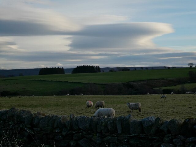
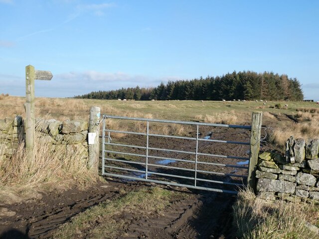
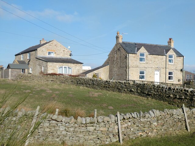
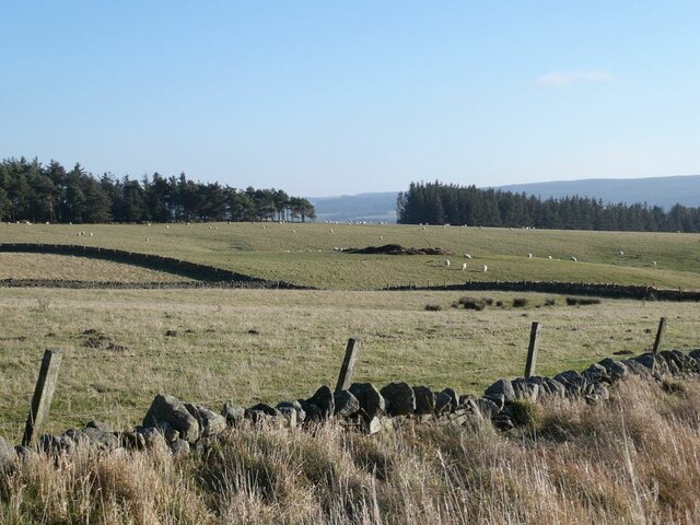
Wellfield Plantation Images
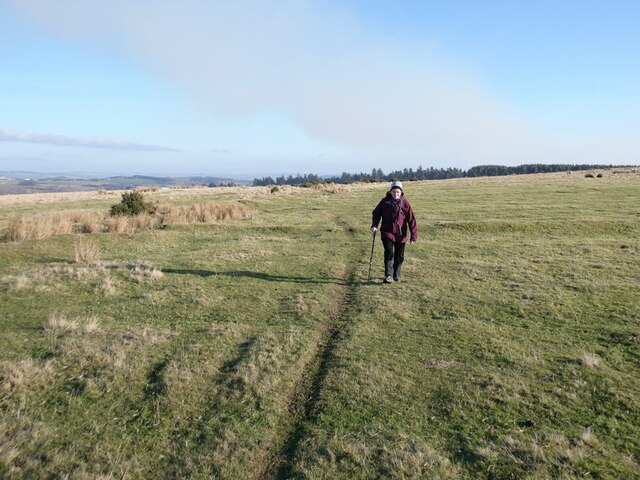
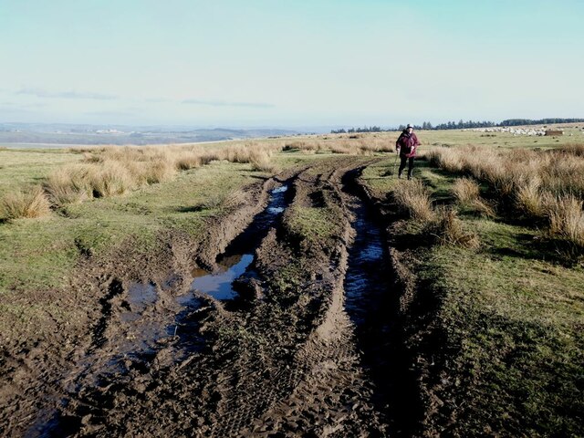
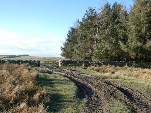
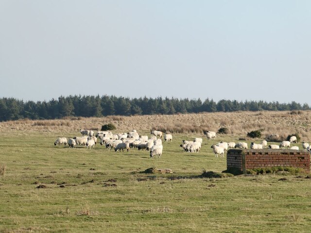
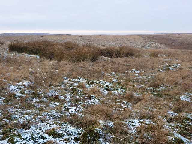
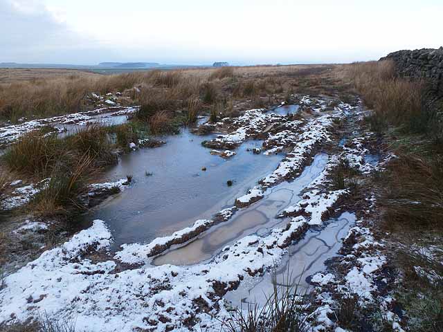
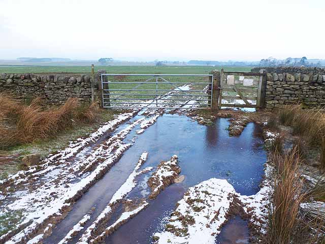
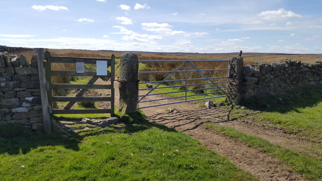
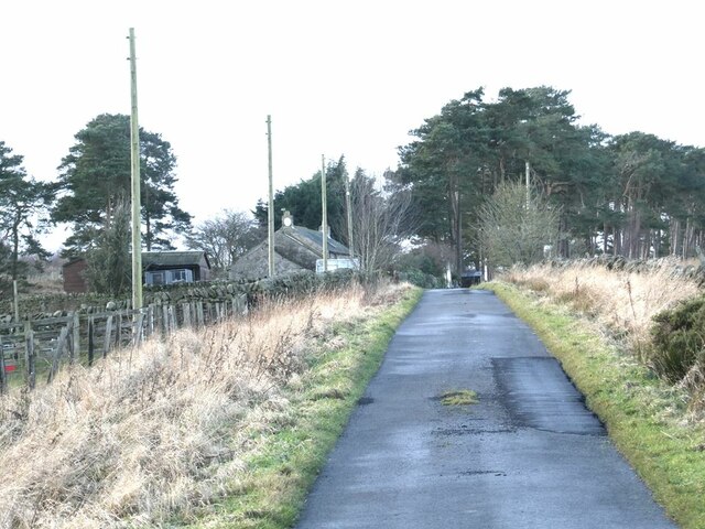
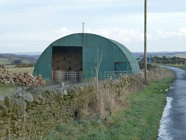
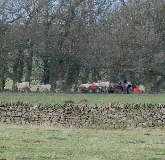
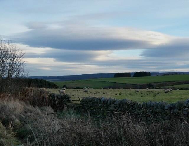
Images are sourced within 2km of 54.921256/-2.1816822 or Grid Reference NY8858. Thanks to Geograph Open Source API. All images are credited.

Wellfield Plantation is located at Grid Ref: NY8858 (Lat: 54.921256, Lng: -2.1816822)
Unitary Authority: Northumberland
Police Authority: Northumbria
What 3 Words
///situation.civic.copycat. Near Hexham, Northumberland
Nearby Locations
Related Wikis

Whitley Chapel
Whitley Chapel is a village in Northumberland, England about 4 miles (6 km) south of Hexham, and in the parish of Hexhamshire. == Governance == Whitley...

Hexhamshire
Hexhamshire is a civil parish in Northern England. It was incorporated into Northumberland in 1572. == History == Hexhamshire was originally a single parish...

Juniper, Northumberland
Juniper is a hamlet in the English county of Northumberland. It is about 5 miles (8 km) due south of Hexham in the area known as Hexhamshire. There is...
Hexhamshire Low Quarter
Hexhamshire Low Quarter is a former civil parish, now in the parish of Hexhamshire, in Northumberland, England. It was situated to the south of Hexham...
Nearby Amenities
Located within 500m of 54.921256,-2.1816822Have you been to Wellfield Plantation?
Leave your review of Wellfield Plantation below (or comments, questions and feedback).