Charlwood Plantation
Wood, Forest in Wiltshire
England
Charlwood Plantation

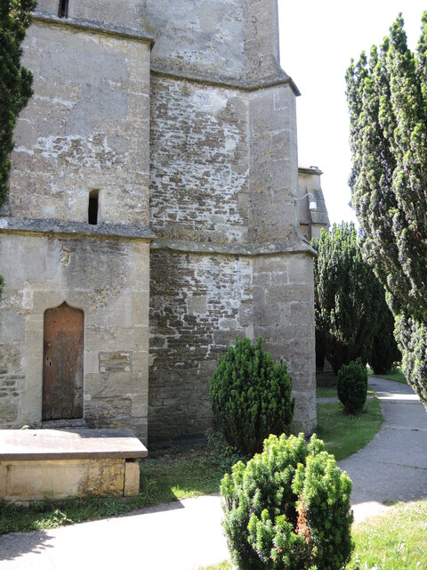
Charlwood Plantation is a picturesque forest located in the county of Wiltshire, England. Spread over a vast area, this woodland offers a tranquil and serene environment for visitors to immerse themselves in nature. The plantation is situated near the village of Charlwood, and it is a popular destination for both locals and tourists seeking a peaceful retreat.
The forest is primarily composed of various species of native trees, including oak, beech, and birch. These towering trees create a dense canopy, allowing only specks of sunlight to filter through the foliage, giving the woodland a mystical ambiance. The forest floor is covered in a thick carpet of moss, ferns, and wildflowers, which add to the natural beauty of the plantation.
Numerous walking trails wind their way through Charlwood Plantation, providing visitors with the opportunity to explore the forest's abundant flora and fauna. Along these paths, one can spot a variety of wildlife, such as deer, rabbits, and a multitude of bird species.
Charlwood Plantation is not only a haven for nature enthusiasts but also a significant ecological site. The forest contributes to the local ecosystem by providing habitats for numerous species and acting as a carbon sink, aiding in the fight against climate change.
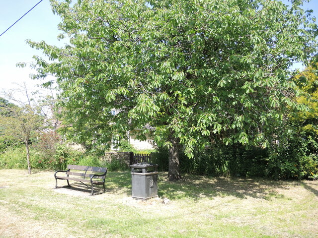
Visitors to Charlwood Plantation can enjoy a peaceful stroll, have a picnic amidst the towering trees, or simply sit back and absorb the tranquility of the surroundings. With its natural beauty and serene atmosphere, Charlwood Plantation is an ideal destination for those seeking a connection with nature in the heart of Wiltshire.
If you have any feedback on the listing, please let us know in the comments section below.
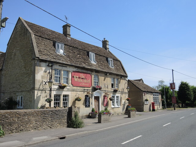
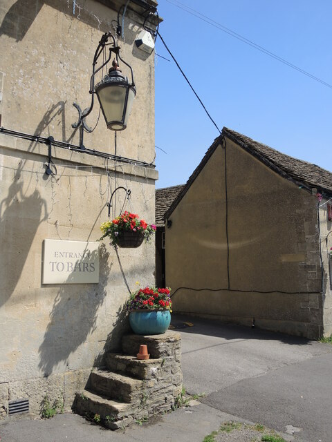
Charlwood Plantation Images
Images are sourced within 2km of 51.40297/-2.2125238 or Grid Reference ST8567. Thanks to Geograph Open Source API. All images are credited.
Charlwood Plantation is located at Grid Ref: ST8567 (Lat: 51.40297, Lng: -2.2125238)
Unitary Authority: Wiltshire
Police Authority: Wiltshire
What 3 Words
///streak.tangible.inhabited. Near Neston, Wiltshire
Nearby Locations
Related Wikis
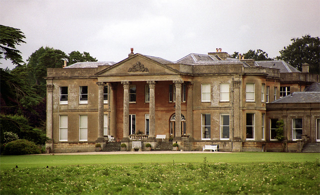
Neston Park
Neston Park is an English country house and estate in the village of Neston, some 2 miles (3 km) south of Corsham, Wiltshire. The name of the village of...

Chapel Plaister
Chapel Plaister is a hamlet in west Wiltshire, England. It lies on the B3109 road between Corsham and Bradford on Avon, about 1 mile (1.6 km) south-east...

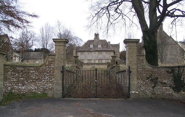
Stonar School
Stonar School, founded in 1895, is a non-denominational UK independent day and boarding school, at Cottles Park, near Atworth, Wiltshire, south-west England...

Atworth
Atworth is a village and civil parish in west Wiltshire, England. The village is on the A365 road between Melksham and Box, about 2.5 miles (4 km) northwest...

Central Government War Headquarters
The Central Government War Headquarters (CGWHQ) is a 35-acre (14 ha) complex built 120 feet (37 m) underground as the United Kingdom's emergency government...

MOD Corsham
MOD Corsham (formerly Basil Hill Barracks) is a Ministry of Defence establishment located between the towns of Corsham and Box in Wiltshire, England....
RAF Rudloe Manor
RAF Rudloe Manor, formerly RAF Box, was a Royal Air Force station north-east of Bath, England, between the settlements of Box and Corsham, in Wiltshire...

Hazelbury, Wiltshire
Hazelbury is a former village in the civil parish of Box, Wiltshire, England. It was about 0.5 miles (0.8 km) southeast of the present-day village of Box...
Related Videos

Insider Look at our next huge guitar auction! #guitarauction #guitar #guitarstore #electricguitar
Gardiner Houlgate is the leading specialist for guitar auctions in the UK and Europe, holding four bespoke sales per year. Like our ...

astra party time classic 5 pound jackpot features isle of wight holiday park 1080p 60fps uk arcades
astra party time classic 5 pound jackpot a few features isle of wight holiday park 1080p 60fps uk arcades hard to film this one had ...
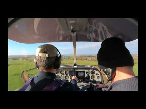
Landing at Wadswick 28
Landing at Wadswick Wadswick Country Store Robin Robin DR400160 DR400 160 Dr400 Wadswick Airfield Wadswick Airstrip ...
Early morning flight to Atworth, South Wraxell, and the Packhorse bridge on my Miniplane Top 80
Got up early (for me) and headed to one of my launch sites with no real plan of where to fly to. Had an easy launch and ...
Nearby Amenities
Located within 500m of 51.40297,-2.2125238Have you been to Charlwood Plantation?
Leave your review of Charlwood Plantation below (or comments, questions and feedback).