Park Plantation
Wood, Forest in Northumberland
England
Park Plantation
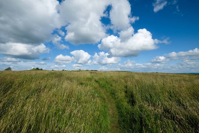
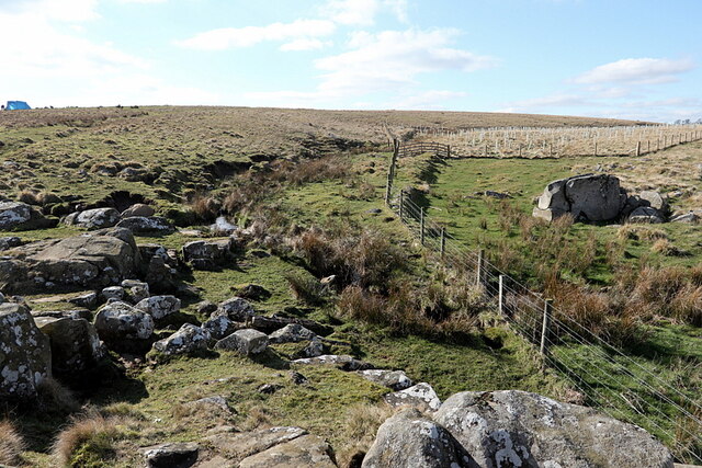
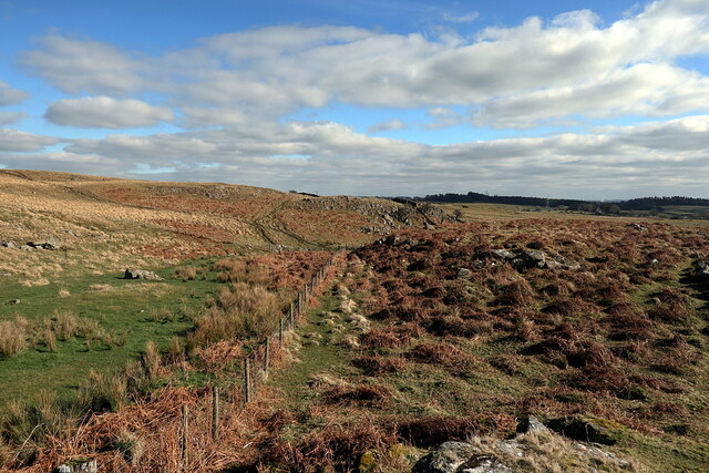
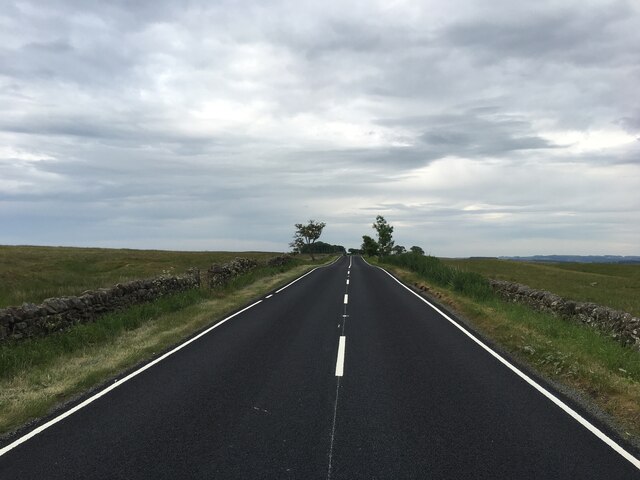
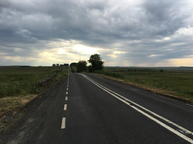
Park Plantation is a picturesque woodland located in Northumberland, England. Covering an area of approximately 100 acres, this enchanting forest is known for its stunning natural beauty and diverse range of plant and animal species.
The plantation is dominated by a mixture of native tree species, including oak, beech, and birch, which create a dense and vibrant canopy. These majestic trees provide a habitat for a wide variety of bird species, making the area a popular destination for birdwatchers. In addition, the woodland is home to several rare and protected species, such as the red squirrel and the great crested newt.
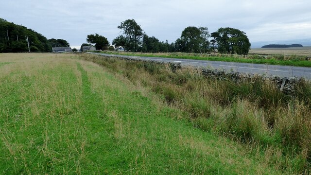
Visitors to Park Plantation can enjoy a network of well-maintained walking trails that wind their way through the forest, offering breathtaking views of the surrounding countryside. The trails are suitable for all abilities and provide an opportunity to explore the woodland at a leisurely pace. Along the way, hikers may encounter hidden streams, wildflowers, and even the occasional deer.
For those seeking a more immersive experience, the plantation offers camping facilities, allowing visitors to spend the night under the stars surrounded by nature. There are also designated picnic areas where families and friends can relax and enjoy a meal amidst the tranquil surroundings.
Park Plantation is not only a haven for nature enthusiasts but also plays an important role in promoting conservation and environmental education. The plantation hosts regular workshops and events, aiming to raise awareness about the importance of preserving and protecting the natural world.
Overall, Park Plantation in Northumberland is a haven of tranquility and natural beauty, offering visitors a chance to escape the hustle and bustle of everyday life and immerse themselves in the wonders of the forest.
If you have any feedback on the listing, please let us know in the comments section below.
Park Plantation Images
Images are sourced within 2km of 55.018412/-2.2312296 or Grid Reference NY8569. Thanks to Geograph Open Source API. All images are credited.


Park Plantation is located at Grid Ref: NY8569 (Lat: 55.018412, Lng: -2.2312296)
Unitary Authority: Northumberland
Police Authority: Northumbria
What 3 Words
///radically.obstinate.wizard. Near Haydon Bridge, Northumberland
Nearby Locations
Related Wikis

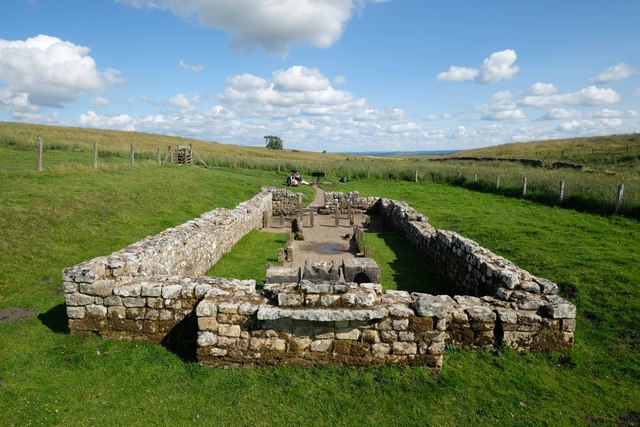
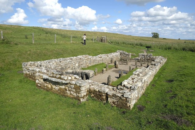
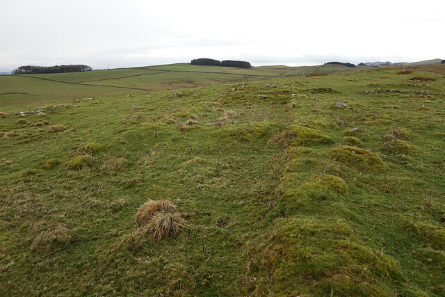
Milecastle 32
Milecastle 32 (Carraw) was a milecastle of the Roman Hadrian's Wall. Its remains exist as earthworks and with no exposed masonry. The layout of the milecastle...

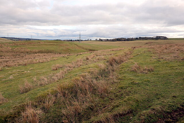
Milecastle 31
Milecastle 31 (Carrawburgh) was a milecastle of the Roman Hadrian's Wall. Its remains exist as a turf covered platform beside (and partially covered by...

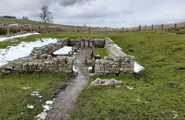
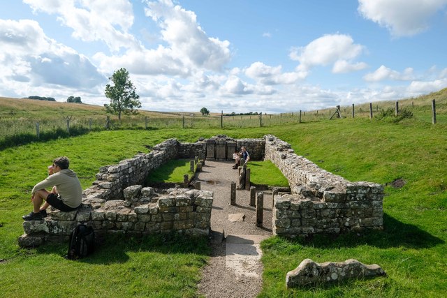
Carrawburgh
Carrawburgh is a settlement in Northumberland. In Roman times, it was the site of a 3+1⁄2-acre (1.5 ha) auxiliary fort on Hadrian's Wall called Brocolitia...

Newbrough
Newbrough is a village in Northumberland, England, on the north bank of the River South Tyne about 5 miles (8 km) north-west of Hexham. == History == Newbrough...

Newbrough Town Hall
Newbrough Town Hall is a municipal building in Stanegate in Newbrough, Northumberland, England. The building, which is used as a community events venue...
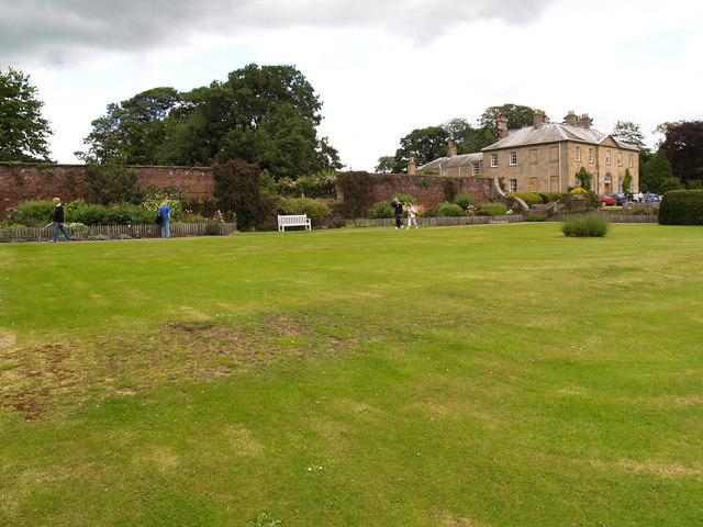
Newbrough Hall
Newbrough Hall is an early 19th-century country house at Newbrough, about 5 miles (8 km) west of Hexham, Northumberland, England. It is a Grade II* listed...

Milecastle 33
Milecastle 33 (Shield on the Wall) was a milecastle of the Roman Hadrian's Wall, one of a series of small fortlets built at intervals of approximately...

Milecastle 30
Milecastle 30 (Limestone Corner) was a milecastle of the Roman Hadrian's Wall. Its remains exist as an outward-facing scarp with a maximum height of 0...
Nearby Amenities
Located within 500m of 55.018412,-2.2312296Have you been to Park Plantation?
Leave your review of Park Plantation below (or comments, questions and feedback).