Strip Wood
Wood, Forest in Northumberland
England
Strip Wood
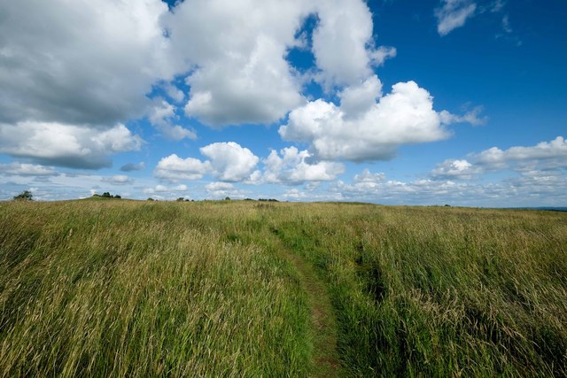
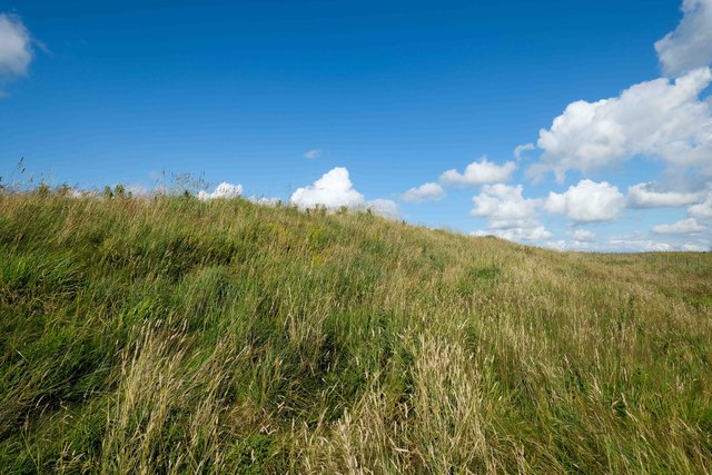
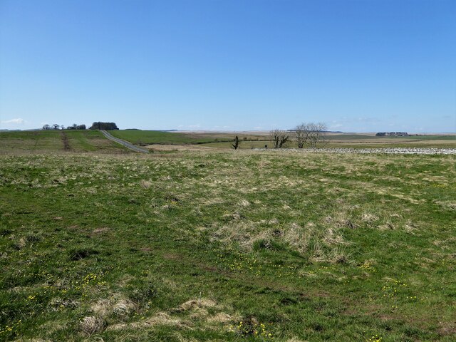
Strip Wood is a picturesque forest located in the county of Northumberland, England. Covering an area of approximately 50 acres, it is nestled within the stunning landscape of the Northumberland National Park.
The woodland is predominantly made up of native broadleaf trees such as oak, beech, and birch, creating a diverse and vibrant ecosystem. These trees provide an important habitat for a variety of plant and animal species, including bluebells, wood anemones, and red squirrels. The forest floor is also adorned with a carpet of mosses, adding to the enchanting atmosphere.
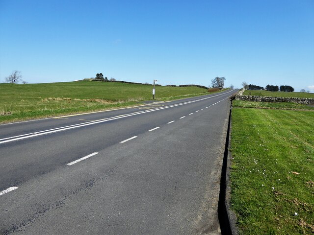
Visitors to Strip Wood can enjoy a network of well-maintained walking trails that wind through the forest, allowing them to fully immerse themselves in the tranquility of nature. The trails range from easy strolls to more challenging hikes, catering to all levels of fitness and experience. Along the paths, there are informative signposts that provide interesting facts about the flora and fauna found within the wood.
The forest also offers opportunities for birdwatching, with species such as woodpeckers, nuthatches, and tawny owls frequently spotted. As a designated Site of Special Scientific Interest (SSSI), Strip Wood is protected for its ecological importance, making it a haven for nature enthusiasts and conservationists alike.
For those seeking a peaceful retreat, Strip Wood provides a serene and idyllic setting. The sounds of rustling leaves and birdsong fill the air, creating a soothing soundtrack to accompany the stunning natural beauty that surrounds visitors. Whether it's a leisurely stroll, a wildlife spotting expedition, or simply a moment of quiet reflection, Strip Wood offers something for everyone.
If you have any feedback on the listing, please let us know in the comments section below.
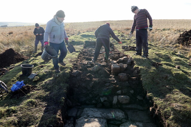
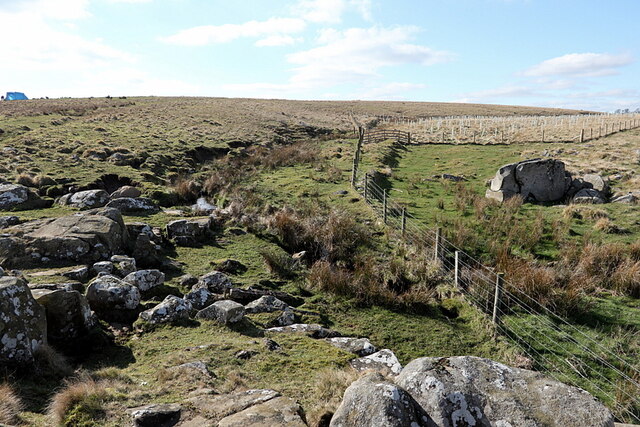
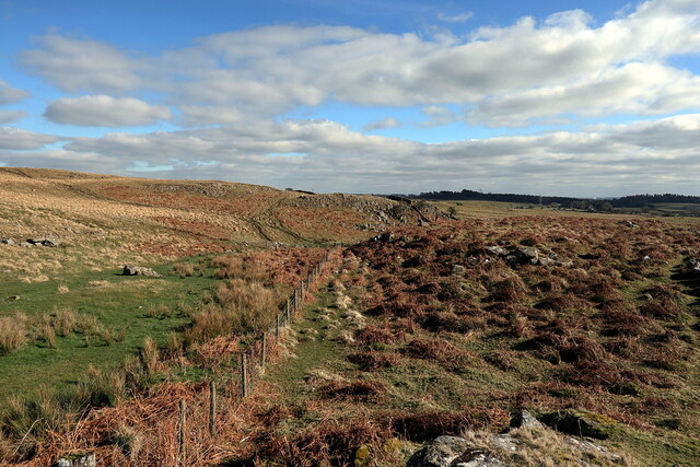
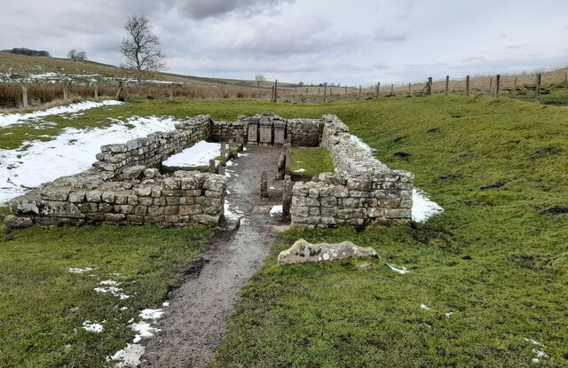
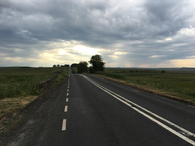
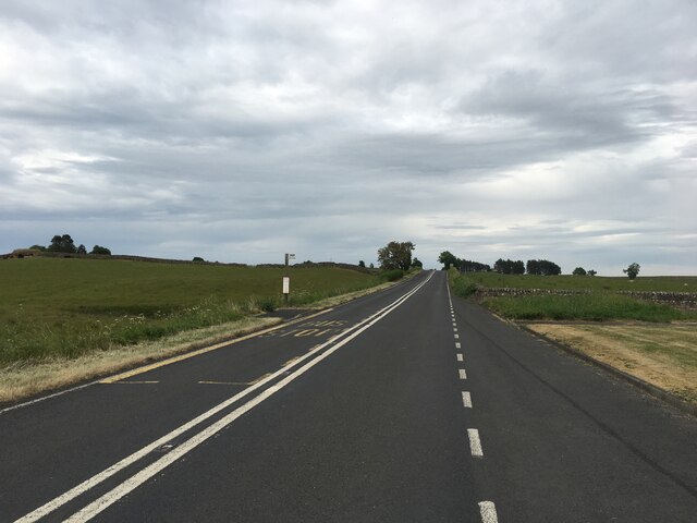
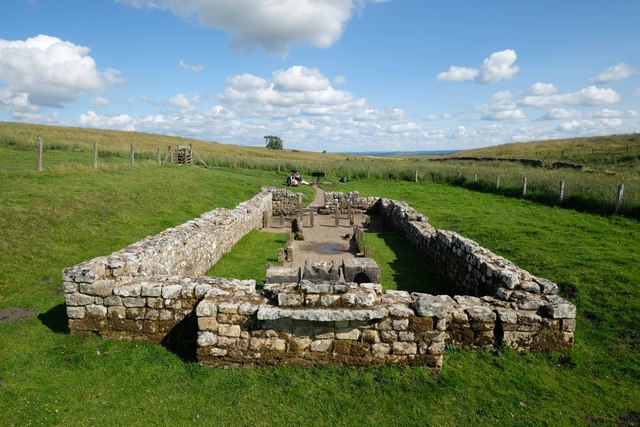
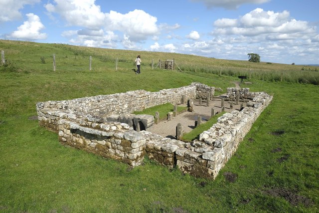
Strip Wood Images
Images are sourced within 2km of 55.024216/-2.2315446 or Grid Reference NY8569. Thanks to Geograph Open Source API. All images are credited.
Strip Wood is located at Grid Ref: NY8569 (Lat: 55.024216, Lng: -2.2315446)
Unitary Authority: Northumberland
Police Authority: Northumbria
What 3 Words
///handyman.dazzling.sweep. Near Haydon Bridge, Northumberland
Nearby Locations
Related Wikis

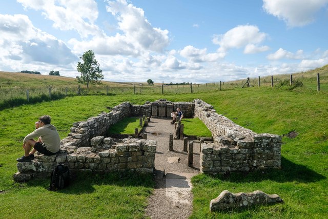
Milecastle 31
Milecastle 31 (Carrawburgh) was a milecastle of the Roman Hadrian's Wall. Its remains exist as a turf covered platform beside (and partially covered by...

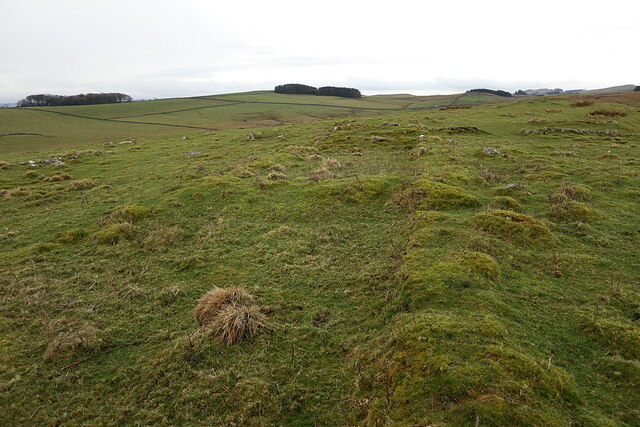
Milecastle 32
Milecastle 32 (Carraw) was a milecastle of the Roman Hadrian's Wall. Its remains exist as earthworks and with no exposed masonry. The layout of the milecastle...

Carrawburgh
Carrawburgh is a settlement in Northumberland. In Roman times, it was the site of a 3+1⁄2-acre (1.5 ha) auxiliary fort on Hadrian's Wall called Brocolitia...

Milecastle 33
Milecastle 33 (Shield on the Wall) was a milecastle of the Roman Hadrian's Wall, one of a series of small fortlets built at intervals of approximately...

Greenhaugh
Greenhaugh is a small village in Northumberland, England. It is located northwest of Bellingham and borders the Northumberland National Park. It is in...

Milecastle 30
Milecastle 30 (Limestone Corner) was a milecastle of the Roman Hadrian's Wall. Its remains exist as an outward-facing scarp with a maximum height of 0...
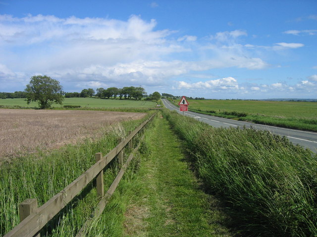
Military Road (Northumberland)
The Military Road is a name given locally to part of the B6318 road in Northumberland, England, which runs from Heddon-on-the-Wall (54.9974°N 1.7929°W...
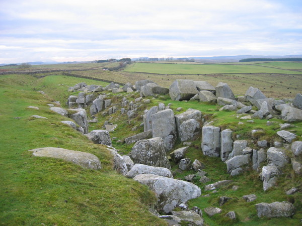
Limestone Corner
Limestone Corner is an area of Hadrian's Wall (and associated defences) at its most northerly point, in present-day northern England. It represents the...
Nearby Amenities
Located within 500m of 55.024216,-2.2315446Have you been to Strip Wood?
Leave your review of Strip Wood below (or comments, questions and feedback).