Dam Plantation
Wood, Forest in Northumberland
England
Dam Plantation
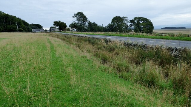
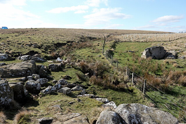
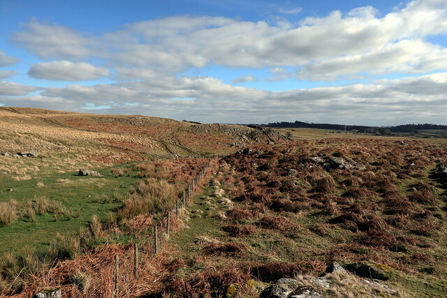
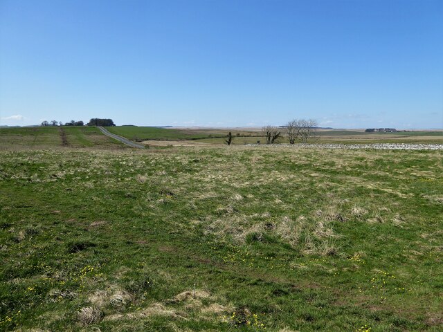
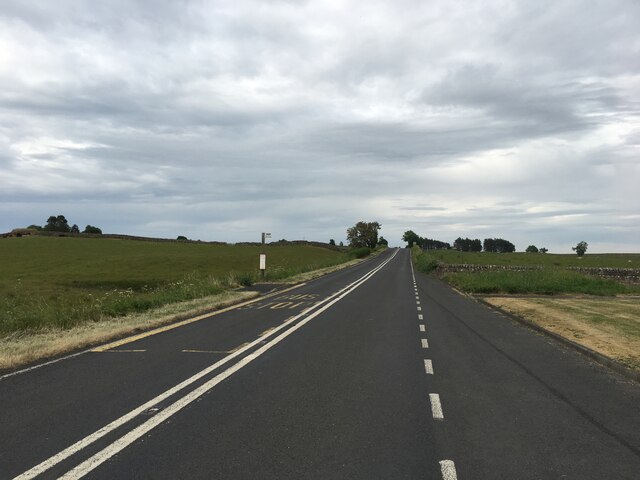
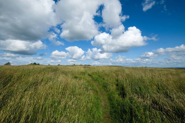
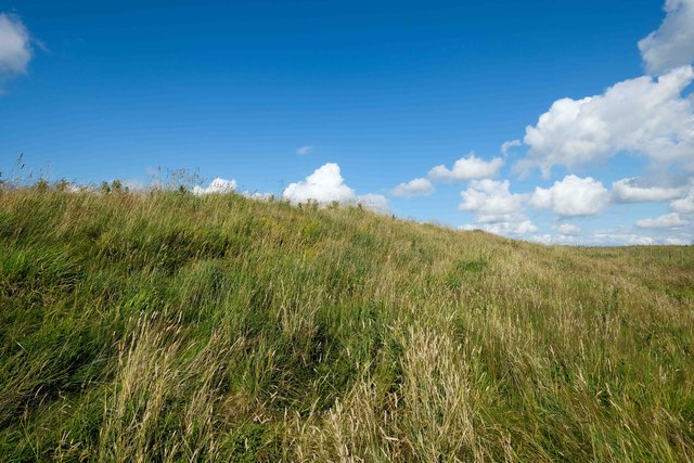
Dam Plantation, located in Northumberland, is a picturesque woodland area known for its stunning natural beauty and rich biodiversity. Covering an area of approximately 200 acres, it is a popular destination for nature lovers, hikers, and wildlife enthusiasts.
The plantation is predominantly made up of a dense forest of deciduous and coniferous trees, creating a serene and tranquil atmosphere. The diverse range of tree species includes oak, birch, pine, and spruce, providing a vibrant display of colors throughout the seasons.
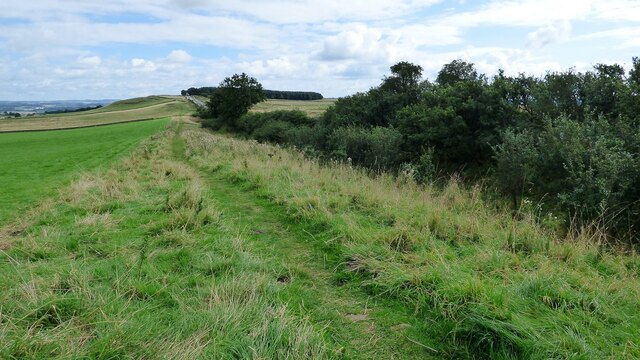
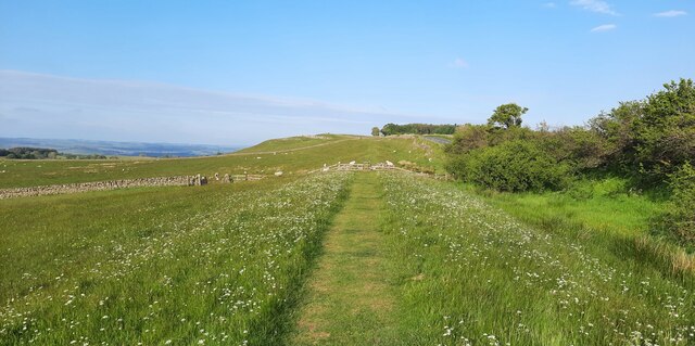
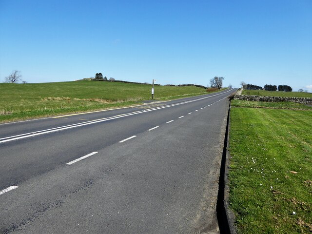
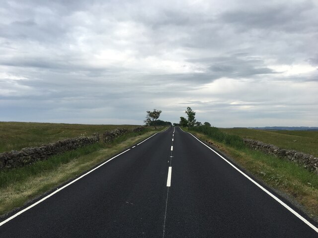
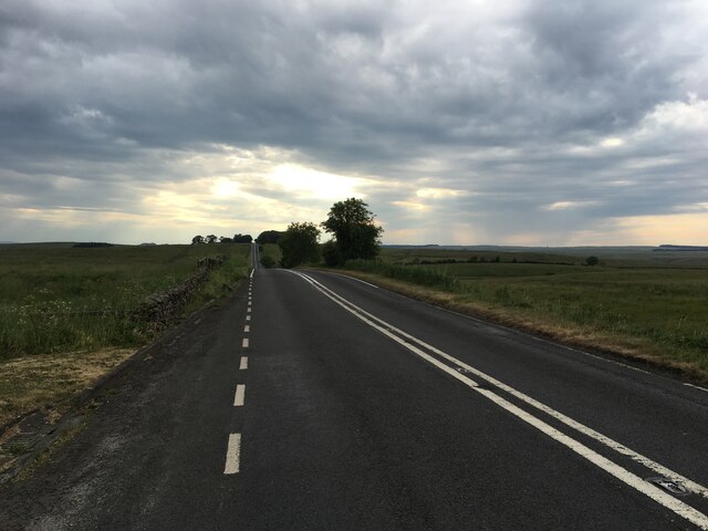
The woodland is crisscrossed by a network of well-maintained walking trails, allowing visitors to explore the area at their own pace. These trails offer breathtaking views of the surrounding countryside and provide ample opportunities for birdwatching and spotting various wildlife species.
Dam Plantation is home to a wide array of flora and fauna. The forest floor is carpeted with a rich variety of wildflowers, including bluebells, primroses, and wood anemones, creating a stunning display in the springtime. The diverse ecosystem supports an abundance of animal life, with sightings of deer, foxes, badgers, and numerous bird species being common.
The plantation is managed by a dedicated team of conservationists who work tirelessly to preserve its natural beauty and protect the delicate ecosystem. They organize educational programs and events to raise awareness about the importance of conservation and sustainable practices.
In conclusion, Dam Plantation in Northumberland is a captivating woodland area that offers visitors a chance to immerse themselves in nature's beauty. With its diverse range of trees, vibrant flora, and abundant wildlife, it is a haven for nature enthusiasts and a testament to the region's natural heritage.
If you have any feedback on the listing, please let us know in the comments section below.
Dam Plantation Images
Images are sourced within 2km of 55.023279/-2.2235621 or Grid Reference NY8569. Thanks to Geograph Open Source API. All images are credited.
Dam Plantation is located at Grid Ref: NY8569 (Lat: 55.023279, Lng: -2.2235621)
Unitary Authority: Northumberland
Police Authority: Northumbria
What 3 Words
///double.lobby.refer. Near Haydon Bridge, Northumberland
Nearby Locations
Related Wikis

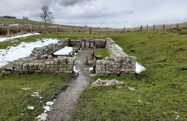
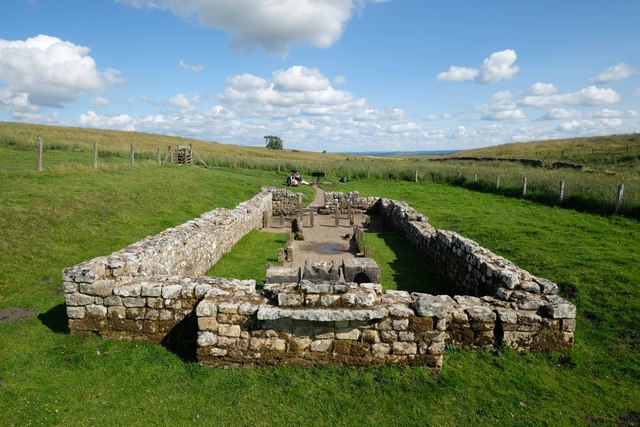
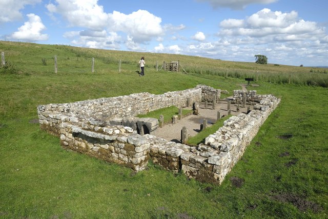
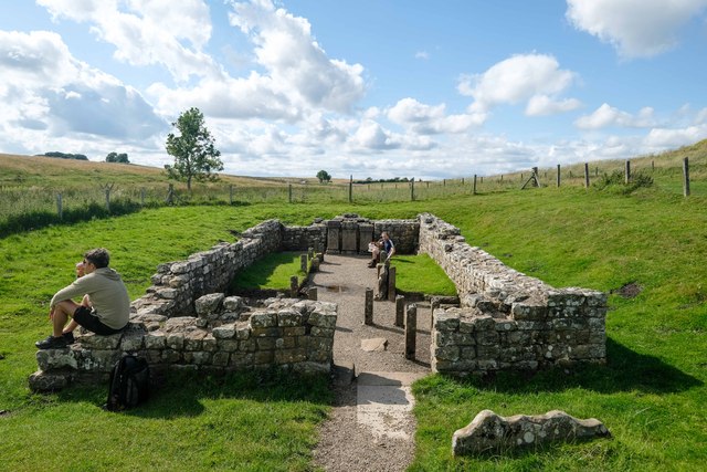
Milecastle 31
Milecastle 31 (Carrawburgh) was a milecastle of the Roman Hadrian's Wall. Its remains exist as a turf covered platform beside (and partially covered by...

Carrawburgh
Carrawburgh is a settlement in Northumberland. In Roman times, it was the site of a 3+1⁄2-acre (1.5 ha) auxiliary fort on Hadrian's Wall called Brocolitia...

Milecastle 32
Milecastle 32 (Carraw) was a milecastle of the Roman Hadrian's Wall. Its remains exist as earthworks and with no exposed masonry. The layout of the milecastle...

Milecastle 30
Milecastle 30 (Limestone Corner) was a milecastle of the Roman Hadrian's Wall. Its remains exist as an outward-facing scarp with a maximum height of 0...
Have you been to Dam Plantation?
Leave your review of Dam Plantation below (or comments, questions and feedback).