Park Dam
Lake, Pool, Pond, Freshwater Marsh in Northumberland
England
Park Dam
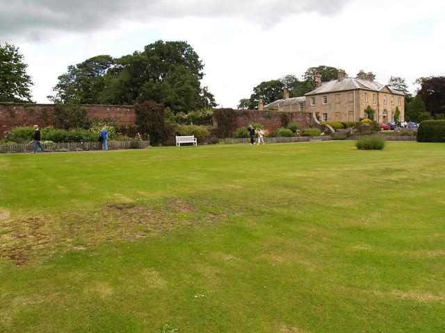
Park Dam is a serene freshwater ecosystem located in Northumberland, England. Situated in a picturesque setting, it encompasses a lake, pool, pond, and freshwater marsh, offering a diverse range of habitats for various species.
The centerpiece of Park Dam is its expansive lake, which spans a considerable area. It is characterized by its calm, crystal-clear waters and is home to numerous aquatic plants and animals. The lake serves as a vital water source for many bird species, attracting a plethora of waterfowl throughout the year.
Adjacent to the lake is a smaller pool, providing a shallower habitat for aquatic life. This pool is often teeming with fish, amphibians, and invertebrates, offering a rich feeding ground for waterbirds and a source of fascination for nature enthusiasts.
A tranquil pond is also nestled within Park Dam's boundaries, showcasing a different aspect of freshwater life. This smaller body of water is a haven for dragonflies, damselflies, and other aquatic insects, creating a vibrant and dynamic micro-ecosystem.
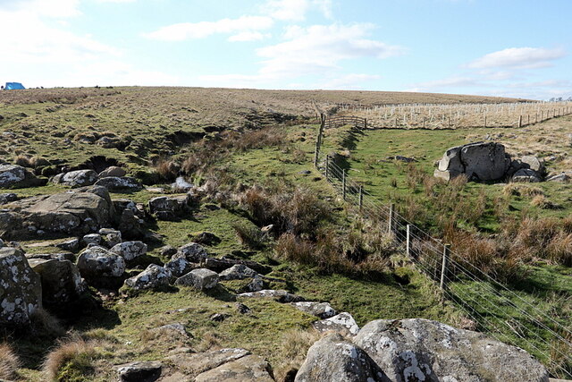
The final component of Park Dam is its freshwater marsh. This marshland is characterized by its lush vegetation, including reeds and grasses, providing a suitable habitat for a variety of bird species, mammals, and amphibians. The marsh acts as a filter, improving water quality and supporting the overall health of the ecosystem.
Park Dam, in its entirety, offers a harmonious blend of habitats that support a diverse array of wildlife. Its pristine waters, diverse plant life, and abundant wildlife make it a popular destination for birdwatchers, nature photographers, and enthusiasts seeking tranquility in the heart of Northumberland.
If you have any feedback on the listing, please let us know in the comments section below.
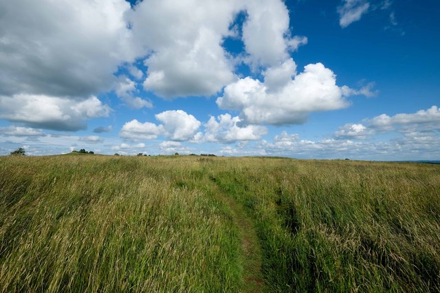
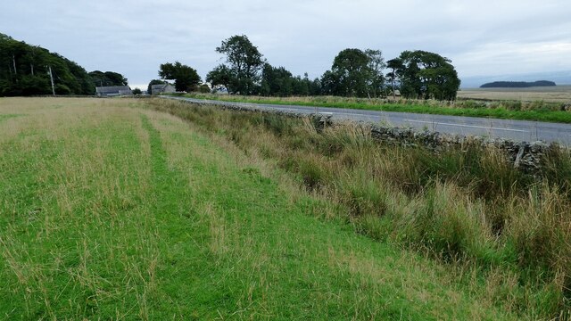
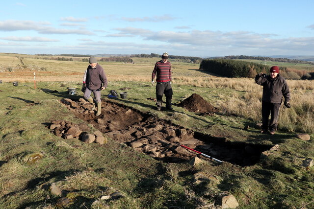
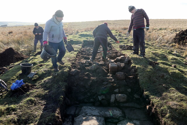
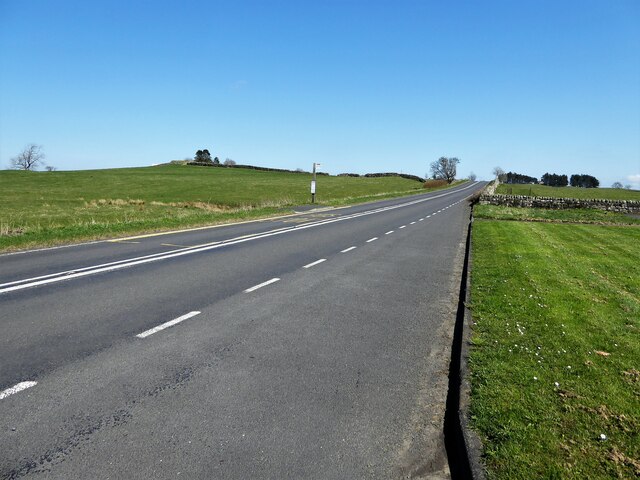
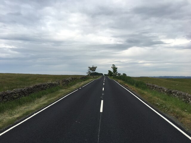
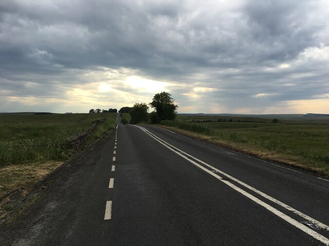
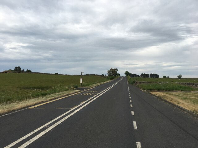
Park Dam Images
Images are sourced within 2km of 55.022453/-2.2280152 or Grid Reference NY8569. Thanks to Geograph Open Source API. All images are credited.


Park Dam is located at Grid Ref: NY8569 (Lat: 55.022453, Lng: -2.2280152)
Unitary Authority: Northumberland
Police Authority: Northumbria
What 3 Words
///scam.person.intruded. Near Haydon Bridge, Northumberland
Nearby Locations
Related Wikis

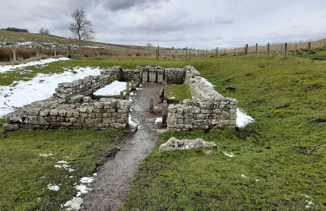
Milecastle 31
Milecastle 31 (Carrawburgh) was a milecastle of the Roman Hadrian's Wall. Its remains exist as a turf covered platform beside (and partially covered by...

Milecastle 32
Milecastle 32 (Carraw) was a milecastle of the Roman Hadrian's Wall. Its remains exist as earthworks and with no exposed masonry. The layout of the milecastle...

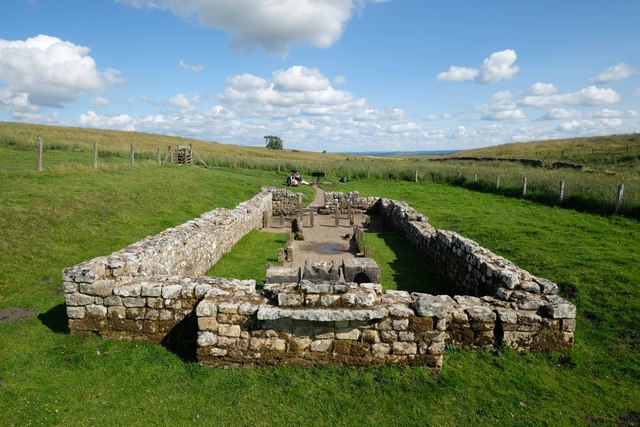
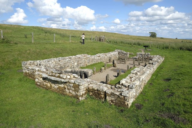
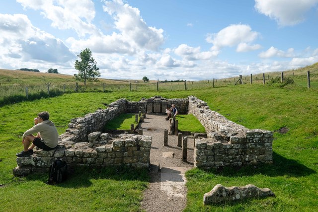
Carrawburgh
Carrawburgh is a settlement in Northumberland. In Roman times, it was the site of a 3+1⁄2-acre (1.5 ha) auxiliary fort on Hadrian's Wall called Brocolitia...

Milecastle 33
Milecastle 33 (Shield on the Wall) was a milecastle of the Roman Hadrian's Wall, one of a series of small fortlets built at intervals of approximately...

Newbrough
Newbrough is a village in Northumberland, England, on the north bank of the River South Tyne about 5 miles (8 km) north-west of Hexham. == History == Newbrough...

Newbrough Town Hall
Newbrough Town Hall is a municipal building in Stanegate in Newbrough, Northumberland, England. The building, which is used as a community events venue...
Newbrough Hall
Newbrough Hall is an early 19th-century country house at Newbrough, about 5 miles (8 km) west of Hexham, Northumberland, England. It is a Grade II* listed...

Milecastle 30
Milecastle 30 (Limestone Corner) was a milecastle of the Roman Hadrian's Wall. Its remains exist as an outward-facing scarp with a maximum height of 0...
Related Videos

Brocolitia Roman fort on #HadriansWall #archaeology
A quick walking tour of the Roman fort and temple of Mithras.

#Temple of Mithras #Travel #British #HadriansWall
Welcome to my channel. I am a 4 year old vlogger. Please like/follow my facebook page: https://www.facebook.com/BritFil.

Brocolitia - Temple of Mithras - A short circular walk
Parked up at the carpark at Brocolitia and did a 4 mile loop before checking out the temple. More treasure on my own doorstep.

Roman temple of Mithras Carrawburgh, Hadrian's Wall
Carrawburgh is a settlement in Northumberland. In Roman times, it was the site of a 3+1⁄2-acre (1.5 ha) auxiliary fort on Hadrian's ...
Nearby Amenities
Located within 500m of 55.022453,-2.2280152Have you been to Park Dam?
Leave your review of Park Dam below (or comments, questions and feedback).