High Stonecroft Wood

Wood, Forest in Northumberland

England

High Stonecroft Wood

Roman ditch on Hadrian's Wall Along this length, the wall itself is under the public highway.
Roman ditch on Hadrian's Wall Credit: Sandy Gerrard

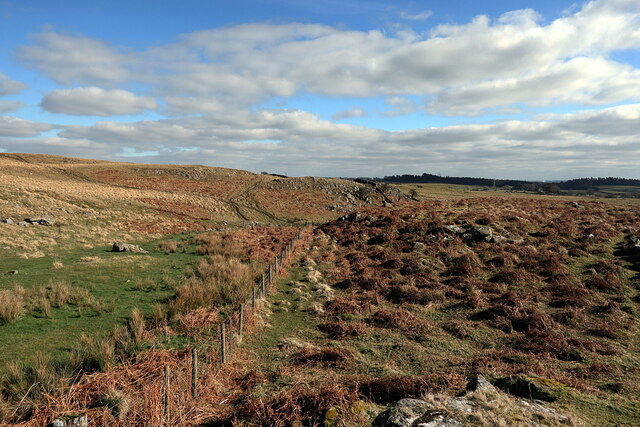
High Stonecroft Wood is a picturesque forest located in Northumberland, England. Covering an area of approximately 500 acres, it is known for its diverse range of flora and fauna, making it a popular destination for nature lovers and outdoor enthusiasts alike.

The woodland is predominantly made up of native tree species such as oak, beech, and ash, creating a dense canopy that provides shelter for a variety of wildlife. It is also home to several rare and protected species, including red squirrels and black grouse, making it an important conservation area.

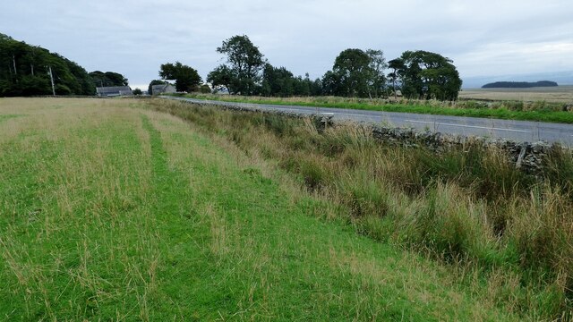
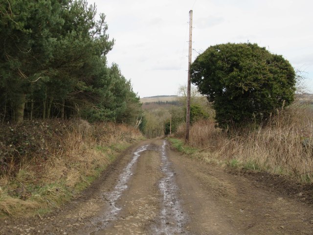
Visitors to High Stonecroft Wood can enjoy a network of well-maintained walking trails that wind through the forest, offering stunning views of the surrounding countryside. The trails vary in difficulty, catering to both casual strollers and more experienced hikers. There are also designated picnic areas throughout the woodland, allowing visitors to relax and take in the tranquil surroundings.

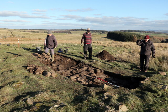
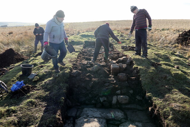
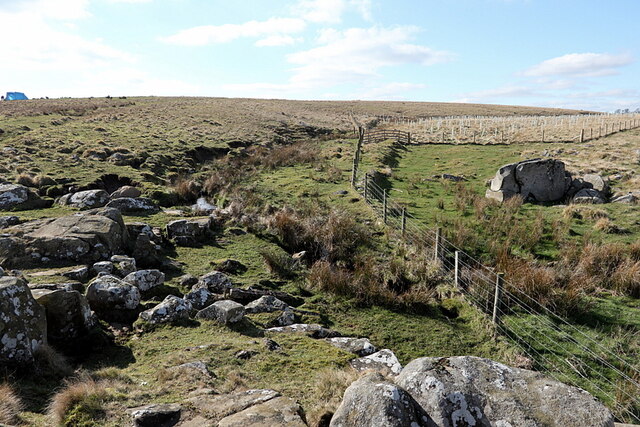
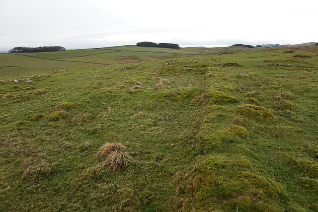
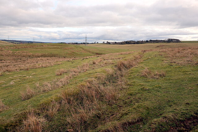
For those interested in the history of the area, High Stonecroft Wood has some fascinating archaeological features. The remains of an ancient settlement can be found within the woodland, offering a glimpse into the lives of previous inhabitants.

High Stonecroft Wood is easily accessible, with ample parking and toilet facilities available. It is also a popular spot for birdwatching, with many species of birds making their home in the forest. Whether you're looking for a peaceful walk in nature or a chance to spot some rare wildlife, High Stonecroft Wood is a must-visit destination in Northumberland.

If you have any feedback on the listing, please let us know in the comments section below.

High Stonecroft Wood Images

Images are sourced within 2km of 55.016551/-2.2318757 or Grid Reference NY8569. Thanks to Geograph Open Source API. All images are credited.

Roman ditch on Hadrian's Wall Along this length, the wall itself is under the public highway.
Roman ditch on Hadrian's Wall
Along this length, the wall itself is under the public highway.
Archaeological excavation of Greyside farmstead 3D model of excavation trench on Sketchfab: <span class="nowrap"><a title="https://skfb.ly/ottxH" rel="nofollow ugc noopener" href="https://skfb.ly/ottxH">Link</a><img style="margin-left:2px;" alt="External link" title="External link - shift click to open in new window" src="https://s1.geograph.org.uk/img/external.png" width="10" height="10"/></span>
Archaeological excavation of Greyside farmstead
3D model of excavation trench on Sketchfab: LinkExternal link
Archaeological excavation of Greyside farmstead
Valley of Meggie's Dene Burn
Remains of farmstead, Howden Hill Although no longer shown on modern maps, the first edition OS (1866) shows 'Remains of farmstead' here. The remains of a 5-celled long-house with adjoining yards and enclosures have been reduced over time to just low turf walls. The farmstead occupies a site with extensive views and is surrounded by old plough-land on the now lonely and draughty ridge of Howden Hill.
Remains of farmstead, Howden Hill
Although no longer shown on modern maps, the first edition OS (1866) shows 'Remains of farmstead' here. The remains of a 5-celled long-house with adjoining yards and enclosures have been reduced over time to just low turf walls. The farmstead occupies a site with extensive views and is surrounded by old plough-land on the now lonely and draughty ridge of Howden Hill.
Former aqueduct near Settlingstones Burn See description here: <a href="https://www.geograph.org.uk/photo/6510766">NY8369 : Old water pipeline, Settlingstones Burn</a>
Former aqueduct near Settlingstones Burn
Remains of long building near Settlingstones Burn
Settlingstones Burn
Settlingstones Burn
The Stanegate Old Roman Road Stanegate is the old Roman road from Carlisle to Corbridge, which here is now followed by Hadrian's Cycleway (National Cycle Network route 72).
The Stanegate Old Roman Road
Stanegate is the old Roman road from Carlisle to Corbridge, which here is now followed by Hadrian's Cycleway (National Cycle Network route 72).
Cemetery, St. Peters Church, Newbrough
War Grave, St. Peters Church, Newbrough
St. Peters Church, Newbrough
South Lodge Gatehouse for Newbrough Lodge
Newbrough Lodge
Newbrough Lodge
Byway towards Newbrough
Allerwash Fell Cottage
View across Newbrough Valley
Show me another place!

High Stonecroft Wood is located at Grid Ref: NY8569 (Lat: 55.016551, Lng: -2.2318757)

Unitary Authority: Northumberland

Police Authority: Northumbria

What 3 Words

///jiggle.rams.alternate. Near Haydon Bridge, Northumberland

Related Wikis

Milecastle 32

Milecastle 32 (Carraw) was a milecastle of the Roman Hadrian's Wall. Its remains exist as earthworks and with no exposed masonry. The layout of the milecastle...

Milecastle 31

Milecastle 31 (Carrawburgh) was a milecastle of the Roman Hadrian's Wall. Its remains exist as a turf covered platform beside (and partially covered by...

Carrawburgh

Carrawburgh is a settlement in Northumberland. In Roman times, it was the site of a 3+1⁄2-acre (1.5 ha) auxiliary fort on Hadrian's Wall called Brocolitia...

Newbrough

Newbrough is a village in Northumberland, England, on the north bank of the River South Tyne about 5 miles (8 km) north-west of Hexham. == History... ==

Nearby Amenities

Located within 500m of 55.016551,-2.2318757
Design: three-level
Power: tower
Lat/Long: 55.0157099/-2.2356961
Design: three-level
Power: tower
Lat/Long: 55.01607/-2.231921
Design: three-level
Power: tower
Lat/Long: 55.0166369/-2.2263295
The data included in this document is from www.openstreetmap.org. The data is made available under ODbL.

Have you been to High Stonecroft Wood?

Leave your review of High Stonecroft Wood below (or comments, questions and feedback).