Round Clump
Wood, Forest in Wiltshire
England
Round Clump

Round Clump is a small woodland area located in the county of Wiltshire, England. Situated near the village of Roundway, it covers an area of approximately 10 acres. The woodland is known for its dense vegetation, consisting mainly of a mixture of broadleaf trees and conifers.
The forest is home to a variety of tree species, including oak, beech, birch, and pine. These trees create a diverse and vibrant ecosystem, providing habitats for numerous wildlife species. Birds such as woodpeckers, owls, and thrushes can often be heard and seen in the area, along with small mammals like squirrels and foxes.
Round Clump is a popular destination for nature enthusiasts and hikers due to its scenic beauty and tranquil atmosphere. The woodland offers several walking trails, allowing visitors to explore the area and enjoy the peaceful surroundings. The paths wind through the trees, providing glimpses of wildflowers and ferns that grow abundantly in the undergrowth.
The forest is also of historical significance, as it played a role in the English Civil War. The nearby Battle of Roundway Down took place in 1643, where the Parliamentarian forces were defeated by the Royalist army. The clump itself served as a vantage point during the battle, offering strategic views of the surrounding countryside.
Round Clump is a cherished natural space in Wiltshire, offering both recreational opportunities and a glimpse into the region's history. Its diverse flora and fauna, coupled with its picturesque landscapes, make it a must-visit destination for those seeking a tranquil escape in nature.
If you have any feedback on the listing, please let us know in the comments section below.
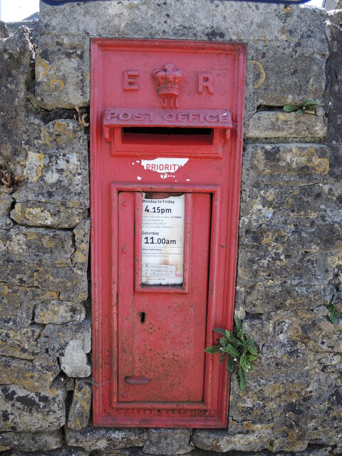
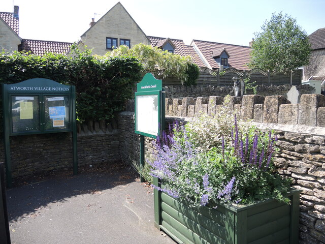
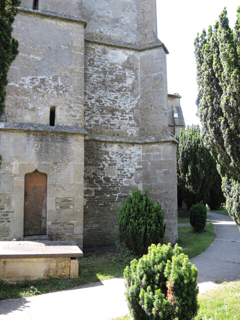
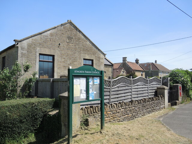
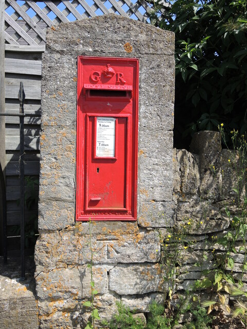
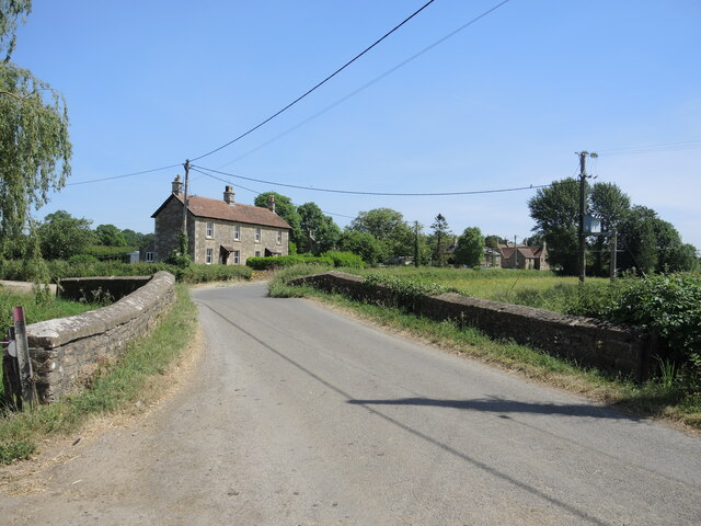
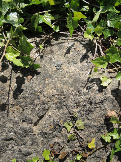
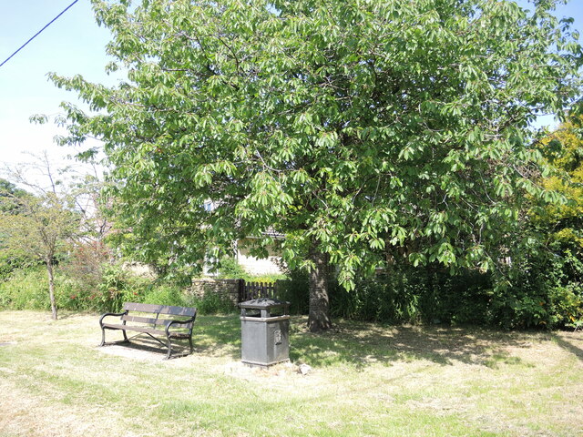
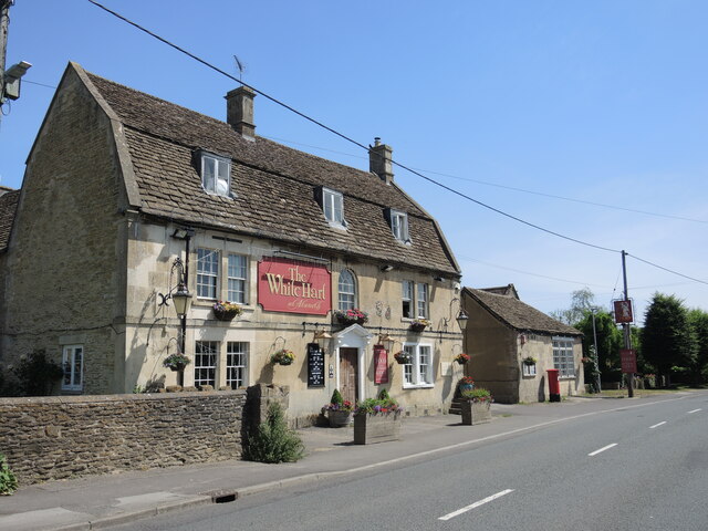
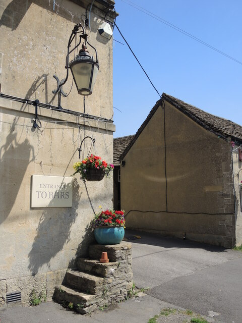
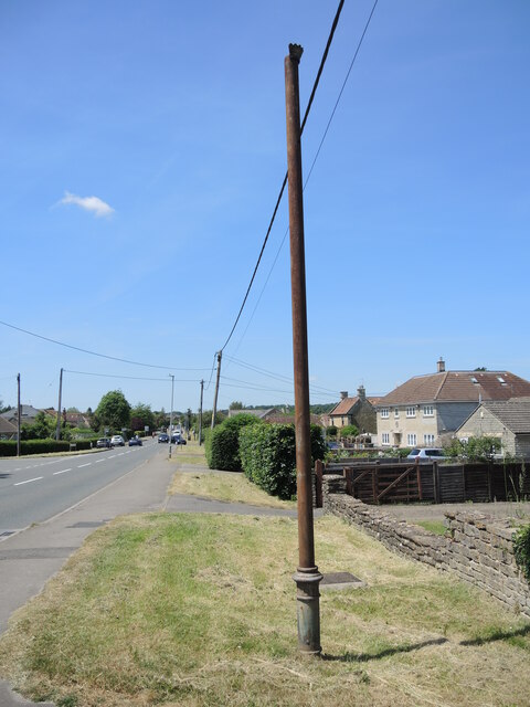
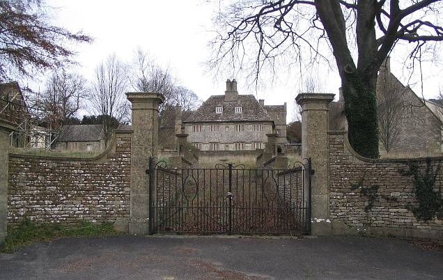
Round Clump Images
Images are sourced within 2km of 51.401924/-2.2088389 or Grid Reference ST8567. Thanks to Geograph Open Source API. All images are credited.
Round Clump is located at Grid Ref: ST8567 (Lat: 51.401924, Lng: -2.2088389)
Unitary Authority: Wiltshire
Police Authority: Wiltshire
What 3 Words
///breeze.prowess.splinters. Near Neston, Wiltshire
Nearby Locations
Related Wikis
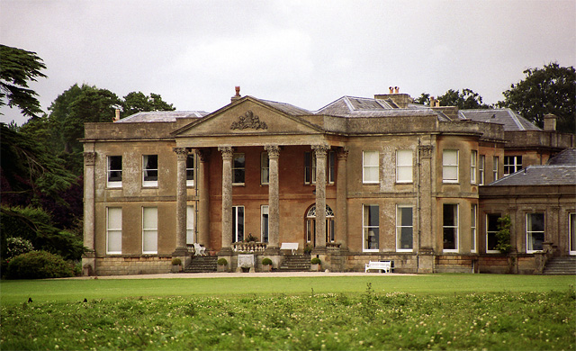
Neston Park
Neston Park is an English country house and estate in the village of Neston, some 2 miles (3 km) south of Corsham, Wiltshire. The name of the village of...

Atworth
Atworth is a village and civil parish in west Wiltshire, England. The village is on the A365 road between Melksham and Box, about 2.5 miles (4 km) northwest...

Stonar School
Stonar School, founded in 1895, is a non-denominational UK independent day and boarding school, at Cottles Park, near Atworth, Wiltshire, south-west England...

Chapel Plaister
Chapel Plaister is a hamlet in west Wiltshire, England. It lies on the B3109 road between Corsham and Bradford on Avon, about 1 mile (1.6 km) south-east...

MOD Corsham
MOD Corsham (formerly Basil Hill Barracks) is a Ministry of Defence establishment located between the towns of Corsham and Box in Wiltshire, England....
RAF Rudloe Manor
RAF Rudloe Manor, formerly RAF Box, was a Royal Air Force station north-east of Bath, England, between the settlements of Box and Corsham, in Wiltshire...

Central Government War Headquarters
The Central Government War Headquarters (CGWHQ) is a 35-acre (14 ha) complex built 120 feet (37 m) underground as the United Kingdom's emergency government...

Hazelbury, Wiltshire
Hazelbury is a former village in the civil parish of Box, Wiltshire, England. It was about 0.5 miles (0.8 km) southeast of the present-day village of Box...
Nearby Amenities
Located within 500m of 51.401924,-2.2088389Have you been to Round Clump?
Leave your review of Round Clump below (or comments, questions and feedback).