Charlwood
Wood, Forest in Wiltshire
England
Charlwood
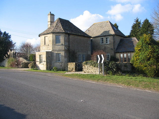
Charlwood is a small village located in the county of Wiltshire, England. Situated near the town of Westbury, it lies within the Westbury civil parish. The village is known for its picturesque surroundings, encompassed by beautiful woodlands and forests, hence its name, which means "Wood, Forest" in Old English.
The village is predominantly rural, with a small population of around 500 people. It is characterized by its charming cottages and traditional buildings, giving it a quintessential English countryside feel. The village is well-preserved, with some of the buildings dating back several centuries, adding to its historical significance.
Charlwood is surrounded by lush green fields and rolling hills, making it an ideal destination for nature lovers and outdoor enthusiasts. The woodlands and forests that surround the village offer a tranquil escape for walking, hiking, and exploring the local flora and fauna.
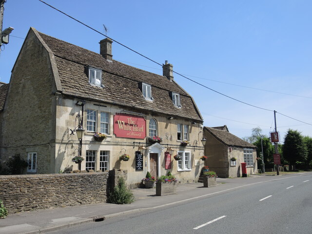
Despite its small size, Charlwood has a strong sense of community spirit, with several community events and activities held throughout the year. The village has a local pub, providing a gathering place for residents and visitors alike.
For those seeking a taste of history, nearby attractions such as the Westbury White Horse, a famous chalk hill figure, and the Westbury Manor Museum offer insights into the area's rich heritage.
Overall, Charlwood, Wiltshire, with its idyllic setting, historical charm, and strong community ties, is a hidden gem for those looking to experience the beauty and tranquility of the English countryside.
If you have any feedback on the listing, please let us know in the comments section below.
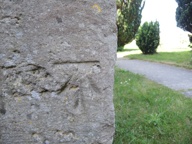
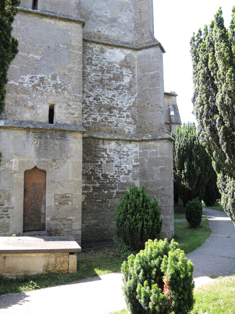
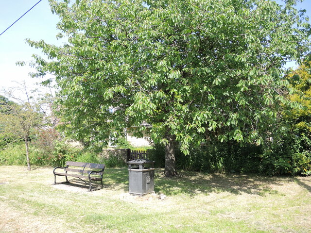
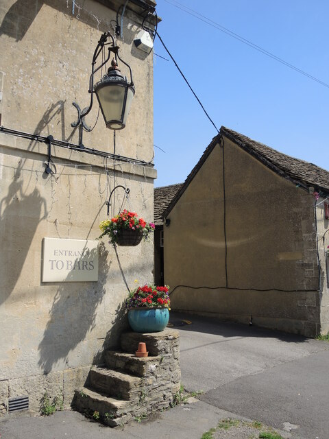
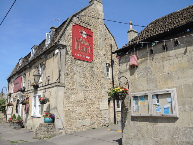
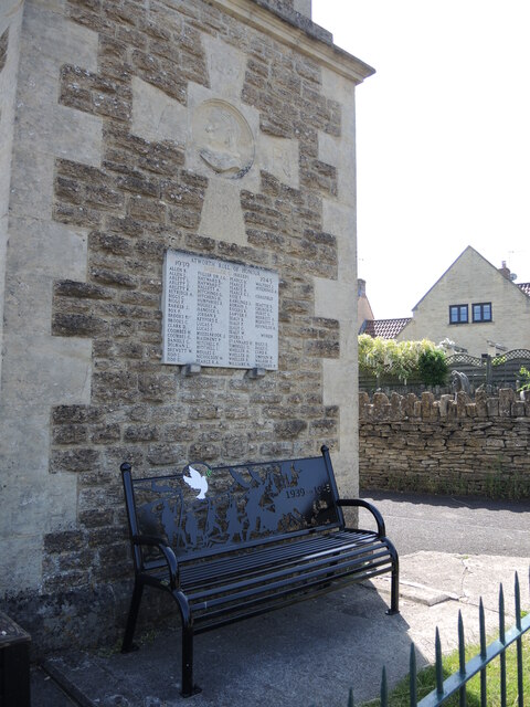
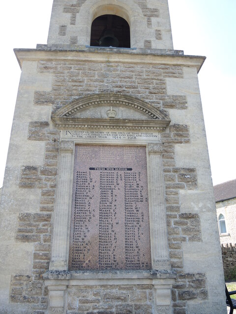
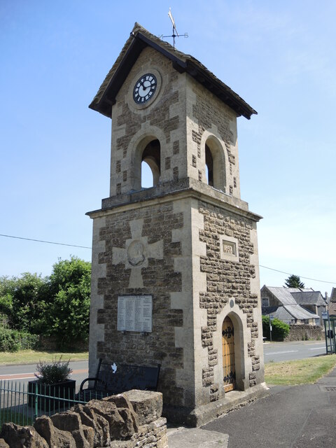
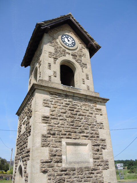
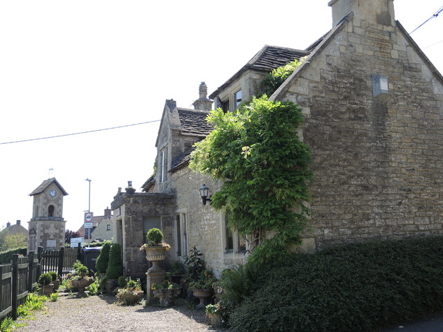
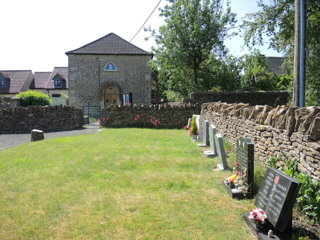
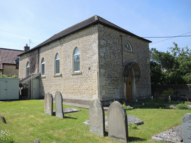
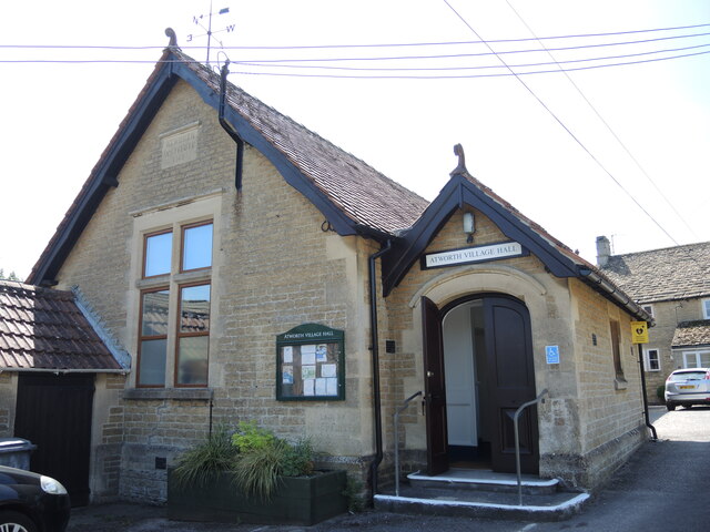
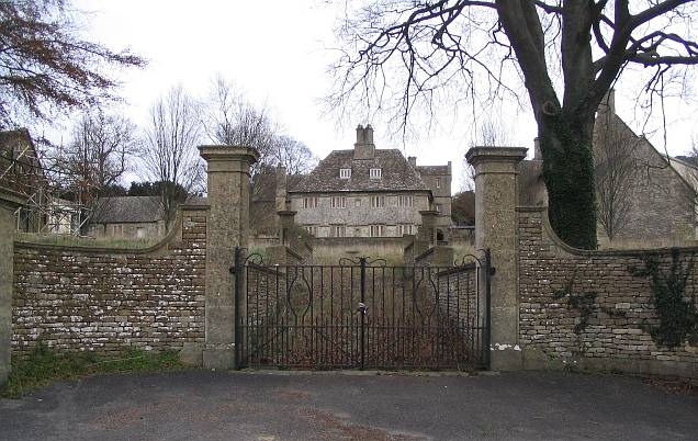
Charlwood Images
Images are sourced within 2km of 51.402635/-2.2138736 or Grid Reference ST8567. Thanks to Geograph Open Source API. All images are credited.
Charlwood is located at Grid Ref: ST8567 (Lat: 51.402635, Lng: -2.2138736)
Unitary Authority: Wiltshire
Police Authority: Wiltshire
What 3 Words
///nightlife.delays.already. Near Neston, Wiltshire
Nearby Locations
Related Wikis
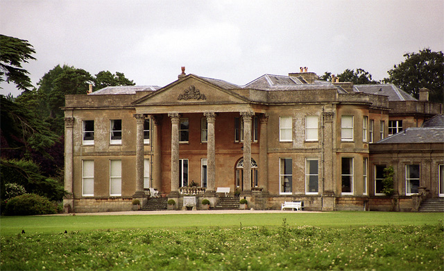
Neston Park
Neston Park is an English country house and estate in the village of Neston, some 2 miles (3 km) south of Corsham, Wiltshire. The name of the village of...

Chapel Plaister
Chapel Plaister is a hamlet in west Wiltshire, England. It lies on the B3109 road between Corsham and Bradford on Avon, about 1 mile (1.6 km) south-east...

Stonar School
Stonar School, founded in 1895, is a non-denominational UK independent day and boarding school, at Cottles Park, near Atworth, Wiltshire, south-west England...

Atworth
Atworth is a village and civil parish in west Wiltshire, England. The village is on the A365 road between Melksham and Box, about 2.5 miles (4 km) northwest...

Central Government War Headquarters
The Central Government War Headquarters (CGWHQ) is a 35-acre (14 ha) complex built 120 feet (37 m) underground as the United Kingdom's emergency government...

MOD Corsham
MOD Corsham (formerly Basil Hill Barracks) is a Ministry of Defence establishment located between the towns of Corsham and Box in Wiltshire, England....
RAF Rudloe Manor
RAF Rudloe Manor, formerly RAF Box, was a Royal Air Force station north-east of Bath, England, between the settlements of Box and Corsham, in Wiltshire...
Blue Vein
Blue Vein is a hamlet about 1 mile (1.6 km) south of Box, Wiltshire, England.Originally a farm, it lies on what was once the principal road between Bath...
Nearby Amenities
Located within 500m of 51.402635,-2.2138736Have you been to Charlwood?
Leave your review of Charlwood below (or comments, questions and feedback).