New Wood
Wood, Forest in Wiltshire
England
New Wood

New Wood, Wiltshire, commonly referred to as Wood or Forest, is a picturesque region located in the county of Wiltshire, England. With its rich history, sprawling green landscapes, and abundance of wildlife, it is a popular destination for nature enthusiasts and history buffs alike.
Covering an area of approximately 500 acres, New Wood is characterized by its dense woodland, which consists primarily of native tree species such as oak, beech, and birch. The area is known for its remarkable biodiversity, offering a habitat for numerous bird species, mammals, and a diverse range of flora and fauna.
The wood is crisscrossed by a network of well-maintained footpaths and trails, making it an ideal location for walking, hiking, and wildlife spotting. Visitors can enjoy the peaceful ambiance and immerse themselves in the natural beauty that surrounds them. The wood also houses several viewpoints, offering breathtaking panoramic views of the surrounding countryside.
New Wood is steeped in history, dating back to ancient times. Archaeological evidence suggests that the area was inhabited by early settlers as far back as the Neolithic period. Throughout the centuries, the wood has witnessed various historical events, including the construction of Iron Age forts and the presence of Roman settlements.
Today, New Wood, Wiltshire, continues to captivate visitors with its timeless charm and natural wonders. It provides a tranquil escape from the hustle and bustle of everyday life, offering a chance to reconnect with nature and explore the region's fascinating history.
If you have any feedback on the listing, please let us know in the comments section below.
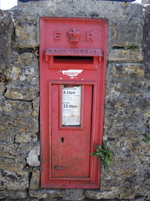
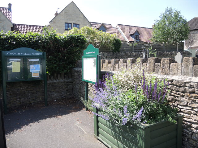
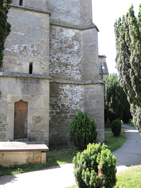
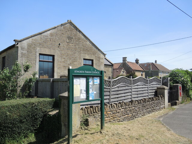
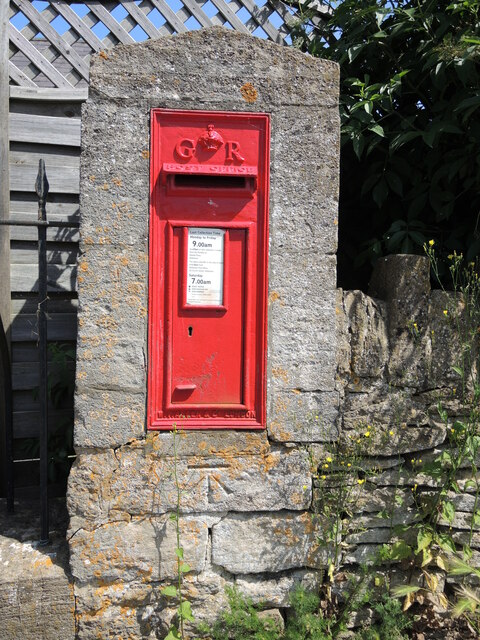
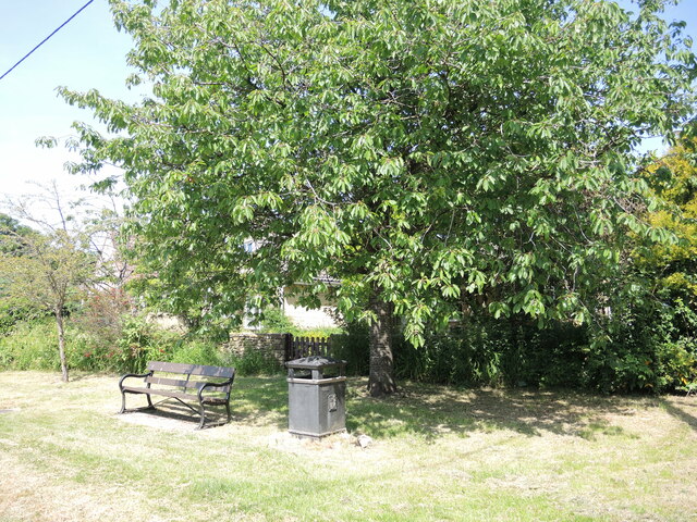
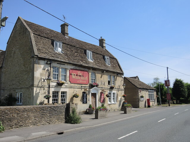
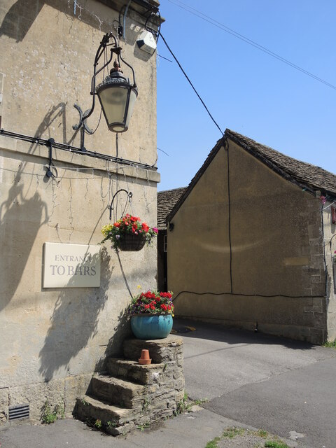
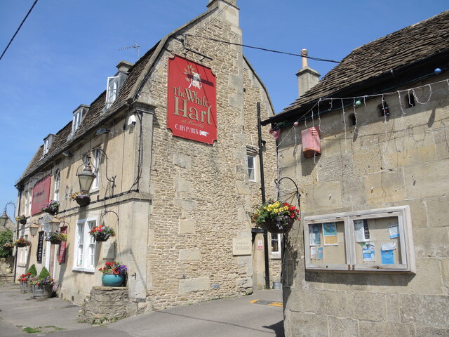
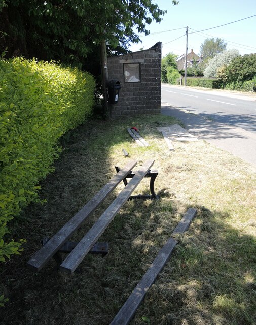
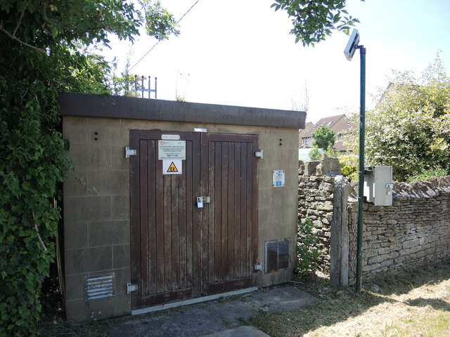
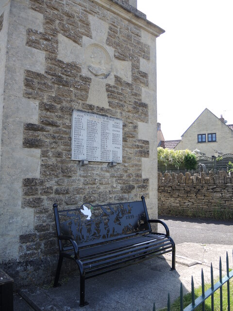
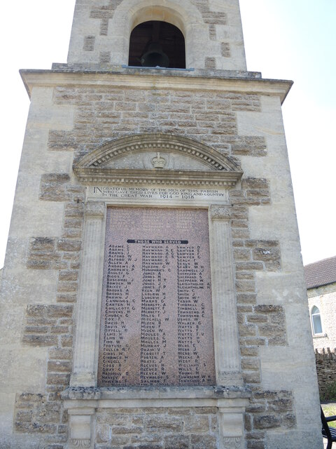
New Wood Images
Images are sourced within 2km of 51.404174/-2.2079722 or Grid Reference ST8567. Thanks to Geograph Open Source API. All images are credited.
New Wood is located at Grid Ref: ST8567 (Lat: 51.404174, Lng: -2.2079722)
Unitary Authority: Wiltshire
Police Authority: Wiltshire
What 3 Words
///swatting.migrate.crowds. Near Neston, Wiltshire
Nearby Locations
Related Wikis
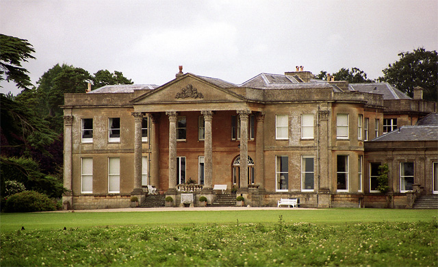
Neston Park
Neston Park is an English country house and estate in the village of Neston, some 2 miles (3 km) south of Corsham, Wiltshire. The name of the village of...

Atworth
Atworth is a village and civil parish in west Wiltshire, England. The village is on the A365 road between Melksham and Box, about 2.5 miles (4 km) northwest...

Chapel Plaister
Chapel Plaister is a hamlet in west Wiltshire, England. It lies on the B3109 road between Corsham and Bradford on Avon, about 1 mile (1.6 km) south-east...

Stonar School
Stonar School, founded in 1895, is a non-denominational UK independent day and boarding school, at Cottles Park, near Atworth, Wiltshire, south-west England...

MOD Corsham
MOD Corsham (formerly Basil Hill Barracks) is a Ministry of Defence establishment located between the towns of Corsham and Box in Wiltshire, England....
RAF Rudloe Manor
RAF Rudloe Manor, formerly RAF Box, was a Royal Air Force station north-east of Bath, England, between the settlements of Box and Corsham, in Wiltshire...

Central Government War Headquarters
The Central Government War Headquarters (CGWHQ) is a 35-acre (14 ha) complex built 120 feet (37 m) underground as the United Kingdom's emergency government...

Box Tunnel
Box Tunnel passes through Box Hill on the Great Western Main Line (GWML) between Bath and Chippenham. The 1.83-mile (2.95 km) tunnel was the world's longest...
Nearby Amenities
Located within 500m of 51.404174,-2.2079722Have you been to New Wood?
Leave your review of New Wood below (or comments, questions and feedback).