Dean's Wood
Wood, Forest in Worcestershire Wychavon
England
Dean's Wood
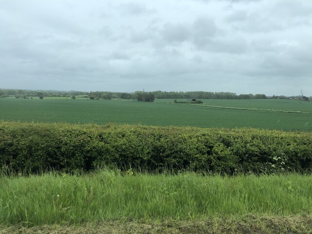
Dean's Wood is a picturesque forest located in Worcestershire, England. Spread over an area of approximately 200 acres, it is renowned for its natural beauty and abundant wildlife. The wood is part of the larger Wyre Forest complex, which is one of the largest remaining ancient woodlands in England.
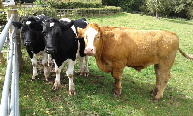
Dean's Wood is characterized by its diverse range of tree species, including oak, birch, beech, and pine. The woodland floor is covered in a carpet of bluebells during the spring, adding to its charm and attracting visitors from far and wide. The forest is also home to a variety of wildlife, including deer, badgers, foxes, and numerous bird species.
The wood offers a range of recreational activities for visitors to enjoy. There are several well-maintained walking trails that meander through the forest, providing opportunities for leisurely strolls and peaceful picnics. The woodland paths also attract avid birdwatchers and nature enthusiasts, who come to observe the rich birdlife and other fauna.
Furthermore, Dean's Wood has a historical significance. It is believed that the area was once part of the ancient hunting grounds of the Norman lords. Today, remnants of the past can still be seen, including the remains of a medieval deer park and an old hunting lodge.
Overall, Dean's Wood in Worcestershire offers a tranquil and enchanting escape from the hustle and bustle of modern life. Its natural beauty, diverse wildlife, and historical significance make it a must-visit destination for nature lovers and history buffs alike.
If you have any feedback on the listing, please let us know in the comments section below.
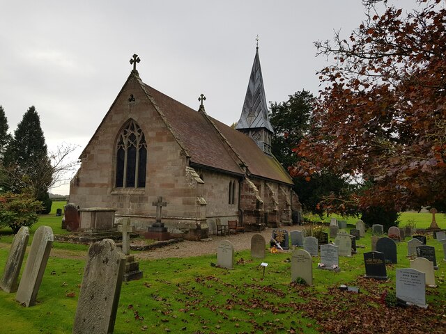
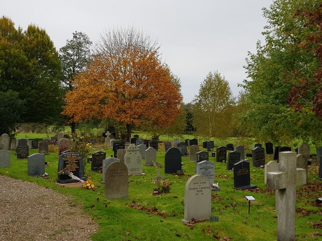
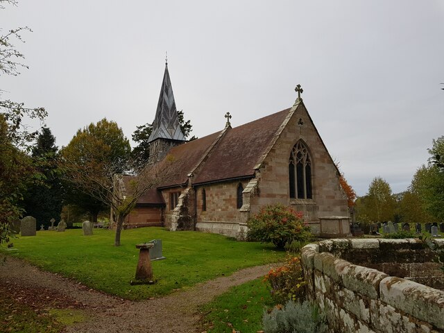
Dean's Wood Images
Images are sourced within 2km of 52.278492/-2.2120014 or Grid Reference SO8564. Thanks to Geograph Open Source API. All images are credited.


Dean's Wood is located at Grid Ref: SO8564 (Lat: 52.278492, Lng: -2.2120014)
Administrative County: Worcestershire
District: Wychavon
Police Authority: West Mercia
What 3 Words
///buckets.clef.ranged. Near Droitwich, Worcestershire
Nearby Locations
Related Wikis

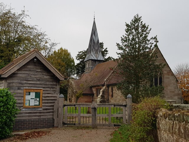
Doverdale
Doverdale is a small village and civil parish in Worcestershire, England, to the west of Droitwich. It has a parish church. Doverdale Manor is one of largest...

Ombersley and Doverdale
Ombersley and Doverdale is an area in Wychavon district, Worcestershire, England served by a single parish council but comprising the two separate civil...
Ombersley
Ombersley is a village and civil parish in Wychavon district, in the county of Worcestershire, England. The parish includes the hamlet of Holt Fleet,...

Westwood House
Westwood House is a stately home, near Droitwich, Worcestershire, England. It has been subdivided into twelve self-contained apartments. The house has...

Dunhampton
Dunhampton is a village in Worcestershire, England.

Westwood Priory
Westwood Priory (priory of St. Mary) was a priory of Benedictine nuns founded in 1153, near Droitwich, Worcestershire, England. It was a daughter house...

Salwarpe
Salwarpe is a small village and civil parish in the Wychavon district of Worcestershire, England, less than two miles south west of Droitwich, but in open...

Snead's Green
Snead's Green, sometimes written Sneads Green, is an area of Droitwich Spa, Worcestershire, England.Francis Moule, of Snead's Green House, sold the manorial...
Nearby Amenities
Located within 500m of 52.278492,-2.2120014Have you been to Dean's Wood?
Leave your review of Dean's Wood below (or comments, questions and feedback).