Beech Plantation
Wood, Forest in Wiltshire
England
Beech Plantation

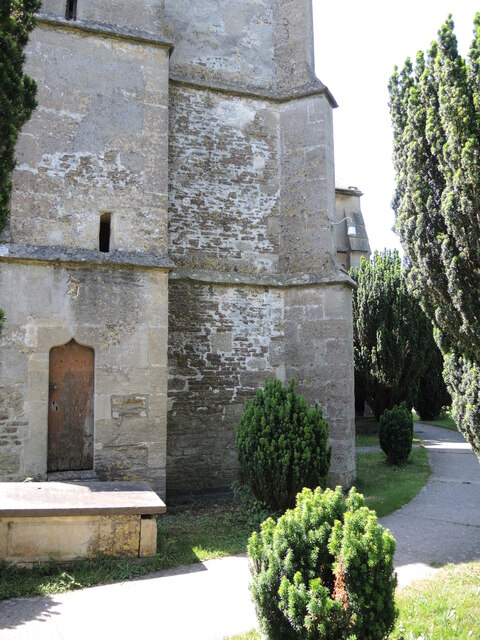
Beech Plantation, located in Wiltshire, England, is a picturesque wood and forest area that covers a vast expanse of land. This beautiful plantation is known for its dense beech trees, which provide a stunning canopy of vibrant green foliage throughout the year. The plantation is situated in a rural setting, offering a peaceful and tranquil environment for nature enthusiasts and visitors alike.
Beech Plantation is home to a diverse range of flora and fauna, making it a haven for wildlife. The dense forest provides a perfect habitat for various bird species, including woodpeckers, owls, and songbirds. Small mammals such as squirrels, foxes, and deer are also commonly spotted within the plantation.
Visitors to Beech Plantation can enjoy a range of recreational activities, including walking, hiking, and cycling. Numerous well-maintained trails wind their way through the plantation, allowing visitors to explore the natural beauty at their own pace. The plantation is also a popular spot for photography, with its stunning landscapes providing ample opportunities for capturing breathtaking shots.
In addition to its natural beauty, Beech Plantation also holds historical significance. The plantation has been managed and preserved for centuries, and remnants of ancient settlements and archaeological sites have been discovered within its boundaries. These historical elements add an extra layer of intrigue for those interested in the rich heritage of the area.
Overall, Beech Plantation in Wiltshire is a true gem of natural beauty. With its lush beech trees, diverse wildlife, and historical significance, it offers a captivating experience for visitors seeking solace in nature or a deeper connection with the past.
If you have any feedback on the listing, please let us know in the comments section below.
Beech Plantation Images
Images are sourced within 2km of 51.402505/-2.2107966 or Grid Reference ST8567. Thanks to Geograph Open Source API. All images are credited.
Beech Plantation is located at Grid Ref: ST8567 (Lat: 51.402505, Lng: -2.2107966)
Unitary Authority: Wiltshire
Police Authority: Wiltshire
What 3 Words
///snappy.wiggling.plod. Near Neston, Wiltshire
Nearby Locations
Related Wikis
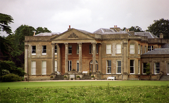
Neston Park
Neston Park is an English country house and estate in the village of Neston, some 2 miles (3 km) south of Corsham, Wiltshire. The name of the village of...

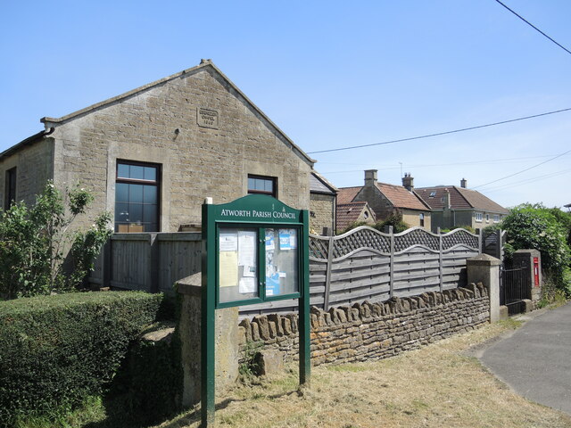
Atworth
Atworth is a village and civil parish in west Wiltshire, England. The village is on the A365 road between Melksham and Box, about 2.5 miles (4 km) northwest...

Stonar School
Stonar School, founded in 1895, is a non-denominational UK independent day and boarding school, at Cottles Park, near Atworth, Wiltshire, south-west England...

Chapel Plaister
Chapel Plaister is a hamlet in west Wiltshire, England. It lies on the B3109 road between Corsham and Bradford on Avon, about 1 mile (1.6 km) south-east...

Central Government War Headquarters
The Central Government War Headquarters (CGWHQ) is a 35-acre (14 ha) complex built 120 feet (37 m) underground as the United Kingdom's emergency government...

MOD Corsham
MOD Corsham (formerly Basil Hill Barracks) is a Ministry of Defence establishment located between the towns of Corsham and Box in Wiltshire, England....
RAF Rudloe Manor
RAF Rudloe Manor, formerly RAF Box, was a Royal Air Force station north-east of Bath, England, between the settlements of Box and Corsham, in Wiltshire...

Hazelbury, Wiltshire
Hazelbury is a former village in the civil parish of Box, Wiltshire, England. It was about 0.5 miles (0.8 km) southeast of the present-day village of Box...
Nearby Amenities
Located within 500m of 51.402505,-2.2107966Have you been to Beech Plantation?
Leave your review of Beech Plantation below (or comments, questions and feedback).