Tyning Belt
Wood, Forest in Wiltshire
England
Tyning Belt
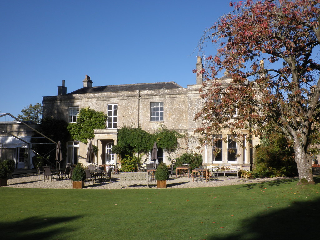
Tyning Belt is a small woodland area located in the county of Wiltshire, England. Situated near the village of Wood, it covers an area of approximately 200 acres. The woodland is part of a larger forested region and is known for its natural beauty and biodiversity.
Tyning Belt is predominantly composed of deciduous trees, including oak, ash, beech, and birch. The dense canopy of the woodland provides a habitat for a variety of wildlife species, such as deer, badgers, foxes, and numerous bird species. The forest floor is rich in flora, with an array of wildflowers, ferns, and mosses.
The woodland is crisscrossed by a network of footpaths and trails, making it a popular destination for nature enthusiasts, hikers, and dog walkers. The trails offer visitors the opportunity to explore the natural surroundings and enjoy the peaceful ambiance of the forest.
Tyning Belt is managed by the local authorities, who prioritize the preservation and conservation of the woodland. Efforts are made to maintain the delicate ecological balance of the area, ensuring the continued survival of the diverse plant and animal species that call the forest their home.
In addition to its natural allure, Tyning Belt also holds historical significance. The woodland is rumored to have been used as a hiding place for outlaws and bandits in the past. Today, visitors can still find remnants of old structures and pathways that provide glimpses into the area's past.
Overall, Tyning Belt in Wiltshire offers a picturesque escape into nature, with its lush vegetation, wildlife, and tranquil atmosphere. It provides a valuable resource for both the local community and visitors seeking to connect with the natural world.
If you have any feedback on the listing, please let us know in the comments section below.
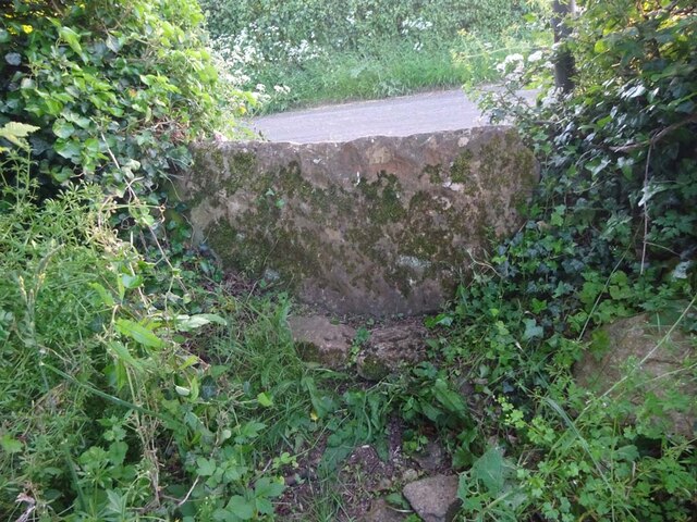
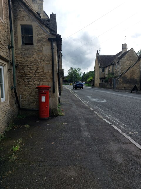
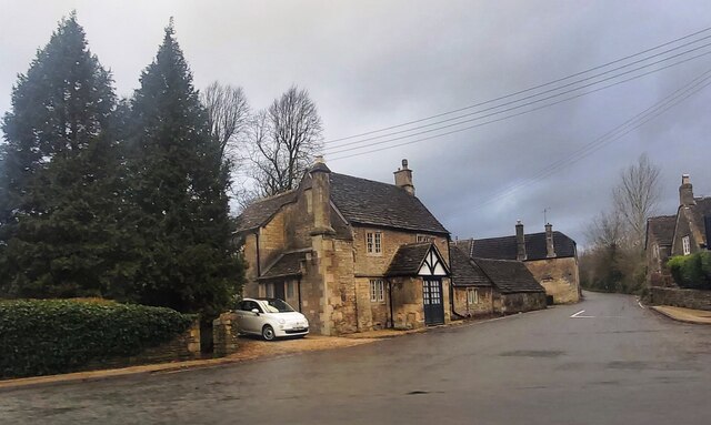
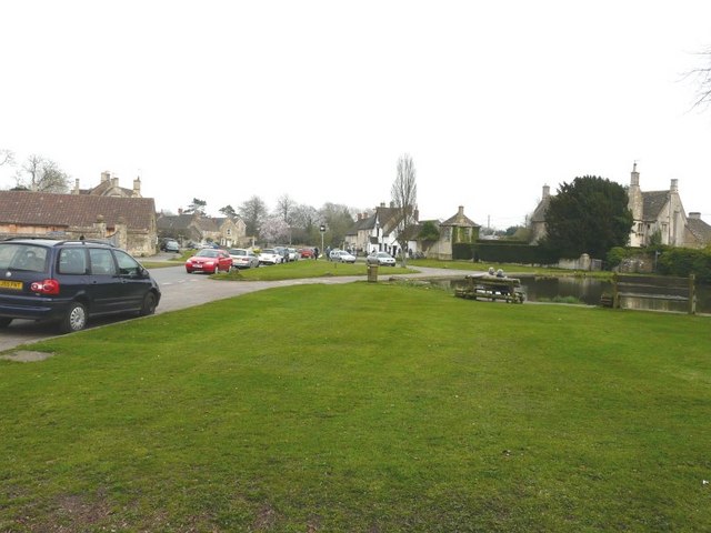
Tyning Belt Images
Images are sourced within 2km of 51.44544/-2.2110089 or Grid Reference ST8571. Thanks to Geograph Open Source API. All images are credited.


Tyning Belt is located at Grid Ref: ST8571 (Lat: 51.44544, Lng: -2.2110089)
Unitary Authority: Wiltshire
Police Authority: Wiltshire
What 3 Words
///ambushed.proud.husband. Near Biddestone, Wiltshire
Nearby Locations
Related Wikis

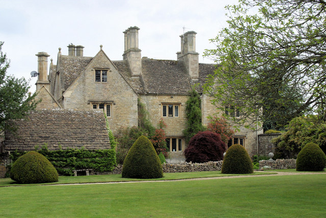
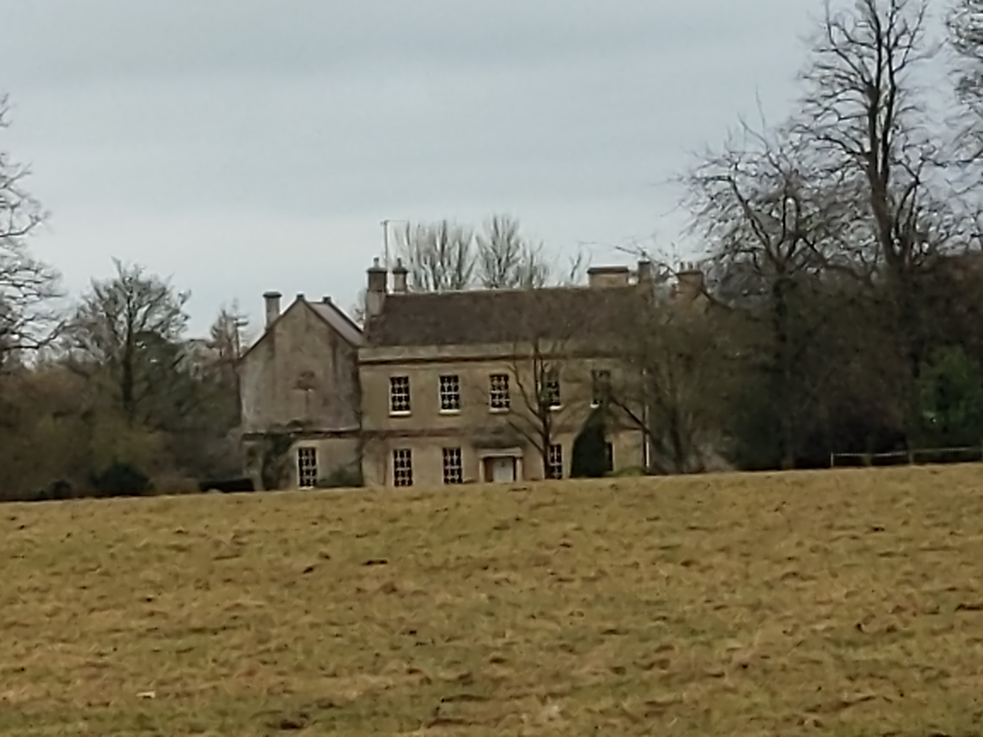
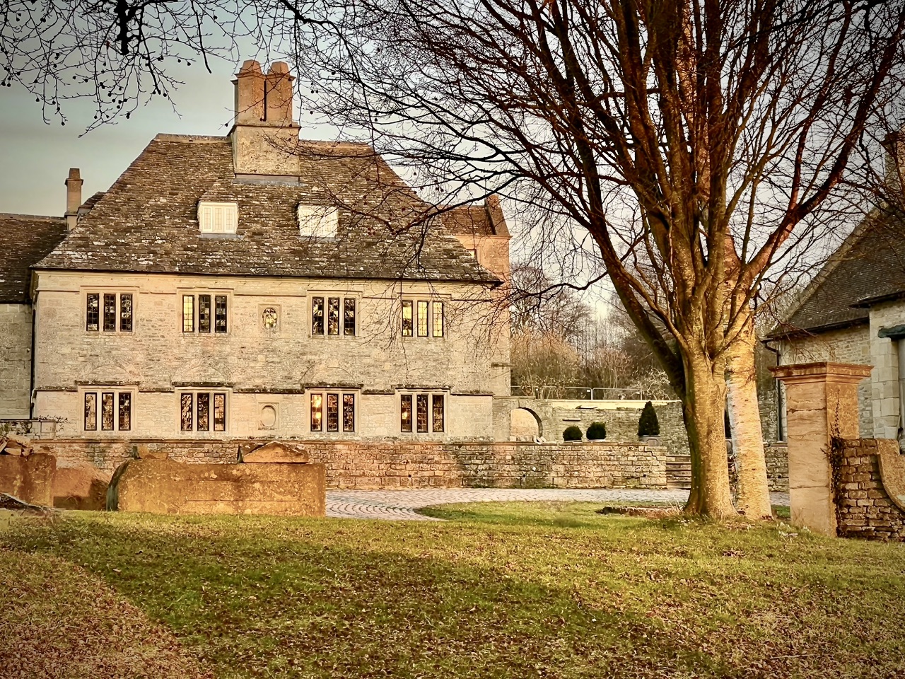
Hartham House
Hartham House was a country house at Hartham, Wiltshire, England, standing next to Hartham Park, north-west of the town of Corsham. During the Tudor and...
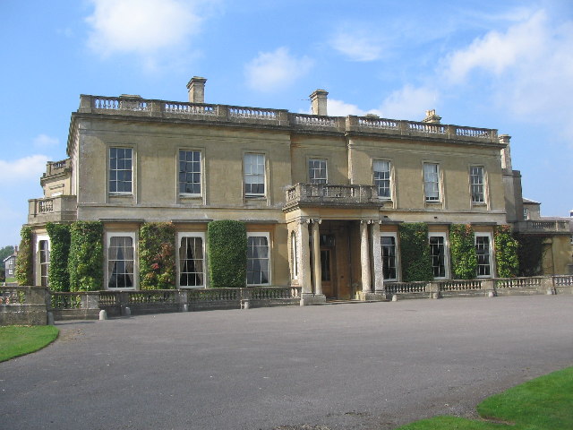
Hartham Park
Hartham Park is a Georgian manor house in Wiltshire, England, about 1+1⁄4 miles (2.0 km) north of the town of Corsham. Originally designed by James Wyatt...
Middlewick House
Middlewick House is a Grade II listed Georgian-style house just outside the town of Corsham, Wiltshire, England. It is the home of the Pink Floyd drummer...
Guyers House Hotel
Guyers House near Corsham, Wiltshire is a building of historical significance and is listed on the English Heritage Register. It commenced modestly as...
Rudloe Manor
Rudloe Manor is a 17th-century Grade II* listed manor house in Box parish, Wiltshire, England. The Manor is situated at the top of Box Hill in Rudloe,...

Honeybrook Farm
Honeybrook Farm (grid reference ST841730) is a working farm three miles (4.8 km) south of Castle Combe in Wiltshire, England, between the villages of Biddestone...
Colerne Park and Monk's Wood
Colerne Park and Monk's Wood (grid reference ST838725) is a 53.7 hectare biological Site of Special Scientific Interest in Wiltshire, England, notified...

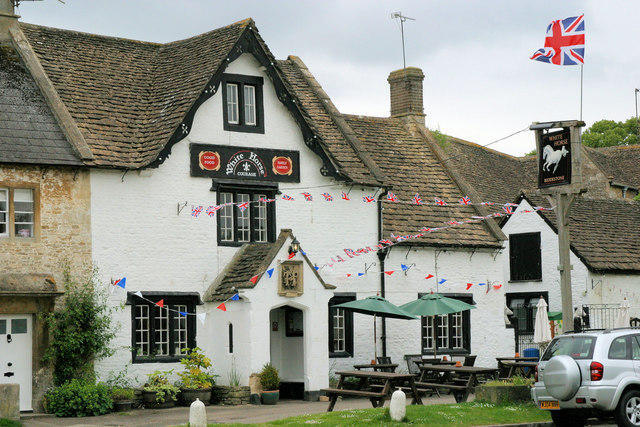
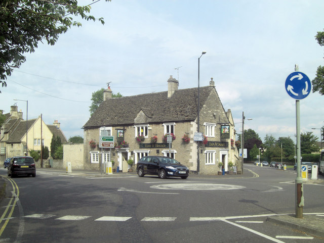
Biddestone
Biddestone is a village and former civil parish, now in the parish of Biddestone and Slaughterford, in the Wiltshire district, in northwest Wiltshire,...
Have you been to Tyning Belt?
Leave your review of Tyning Belt below (or comments, questions and feedback).