Middlewick
Settlement in Wiltshire
England
Middlewick
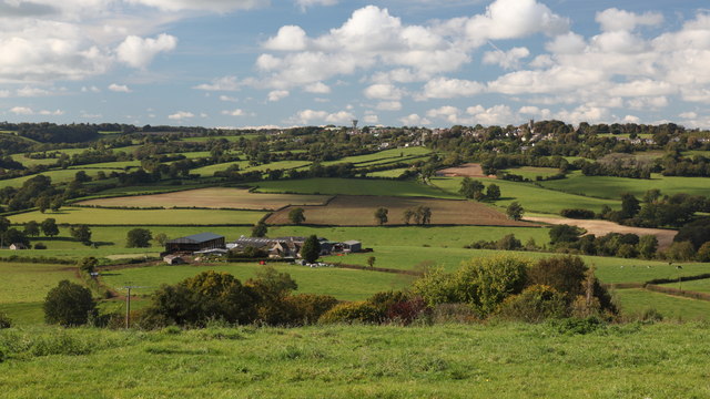
Middlewick is a small picturesque village located in the county of Wiltshire, England. Situated approximately 5 miles northeast of the historic town of Trowbridge, Middlewick is nestled in the stunning countryside of the West Country.
The village is characterized by its quaint and charming atmosphere, with a population of around 300 residents. The houses in Middlewick predominantly exhibit traditional English architecture, comprising a mix of stone cottages and Georgian-style buildings. The village is surrounded by rolling hills and lush green fields, creating a scenic backdrop for residents and visitors alike.
Though small in size, Middlewick boasts a strong sense of community spirit. The village is home to a local church, St. Mary's, which dates back to the 12th century and is a focal point for community events and gatherings. Additionally, Middlewick has a village hall that serves as a venue for various social activities, including meetings, clubs, and celebrations.
The village benefits from its proximity to the larger towns nearby, providing residents with access to essential amenities. The nearby town of Trowbridge offers a range of shops, supermarkets, schools, and healthcare facilities, ensuring that Middlewick residents have convenient access to everyday necessities.
For those seeking outdoor activities and natural beauty, Middlewick is surrounded by numerous walking and cycling trails. The village is also within close reach of the Salisbury Plain, an expansive chalk plateau known for its archaeological sites and stunning landscapes.
Overall, Middlewick is a charming rural village with a close-knit community, offering a peaceful and idyllic lifestyle amidst the beautiful Wiltshire countryside.
If you have any feedback on the listing, please let us know in the comments section below.
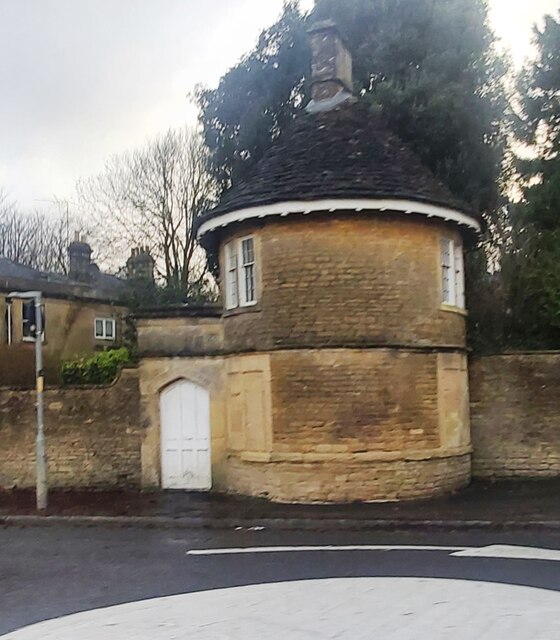
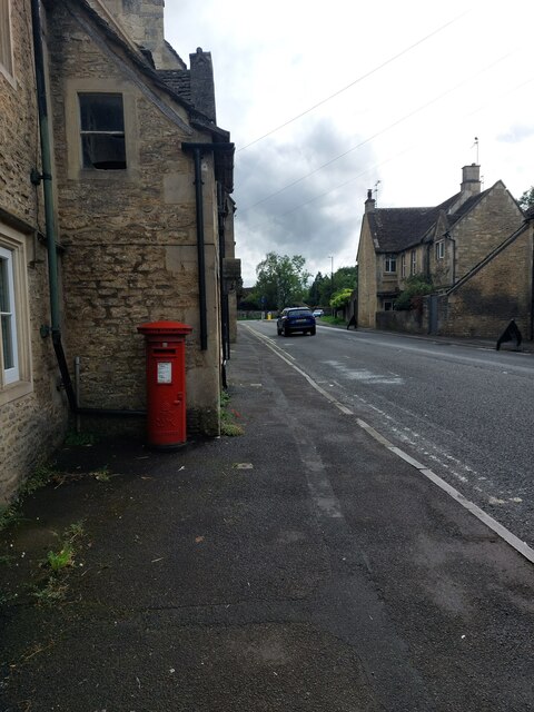
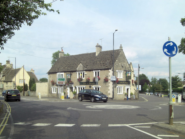
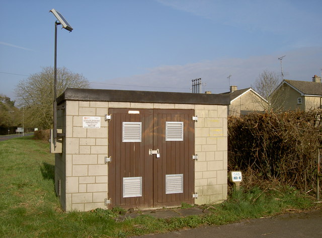
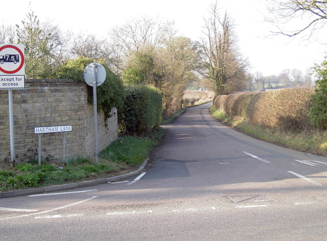
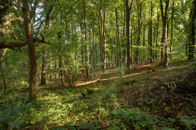
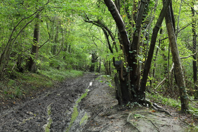
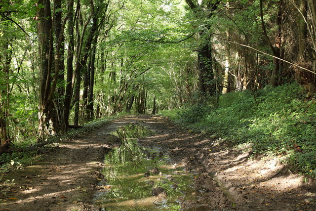
Middlewick Images
Images are sourced within 2km of 51.437795/-2.2171886 or Grid Reference ST8571. Thanks to Geograph Open Source API. All images are credited.


Middlewick is located at Grid Ref: ST8571 (Lat: 51.437795, Lng: -2.2171886)
Unitary Authority: Wiltshire
Police Authority: Wiltshire
What 3 Words
///crunching.fake.zaps. Near Corsham, Wiltshire
Nearby Locations
Related Wikis
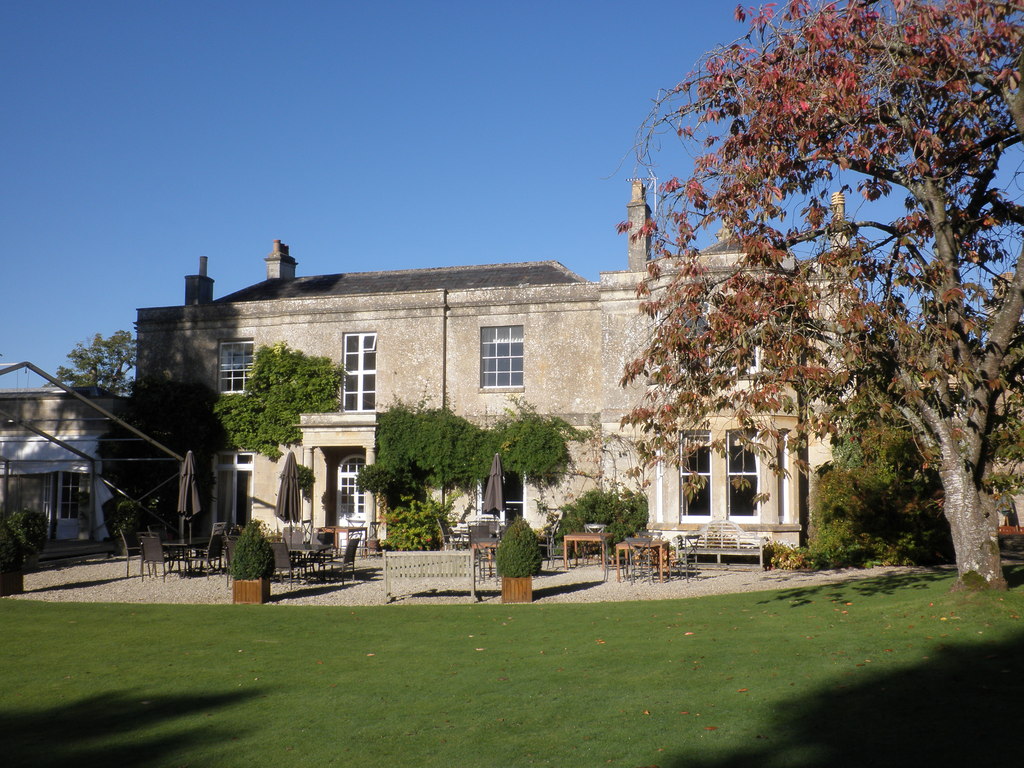
Guyers House Hotel
Guyers House near Corsham, Wiltshire is a building of historical significance and is listed on the English Heritage Register. It commenced modestly as...
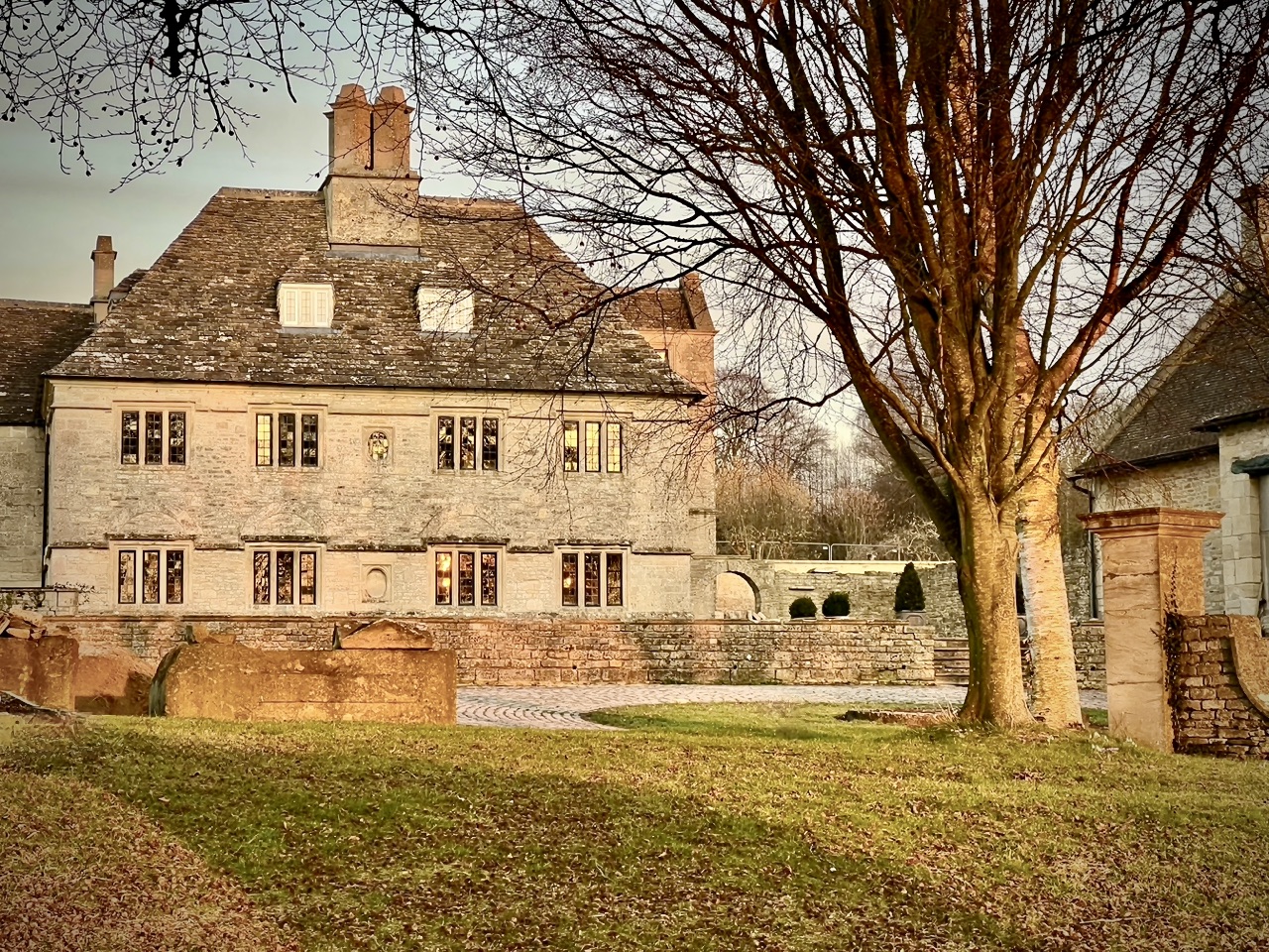
Rudloe Manor
Rudloe Manor is a 17th-century Grade II* listed manor house in Box parish, Wiltshire, England. The Manor is situated at the top of Box Hill in Rudloe,...
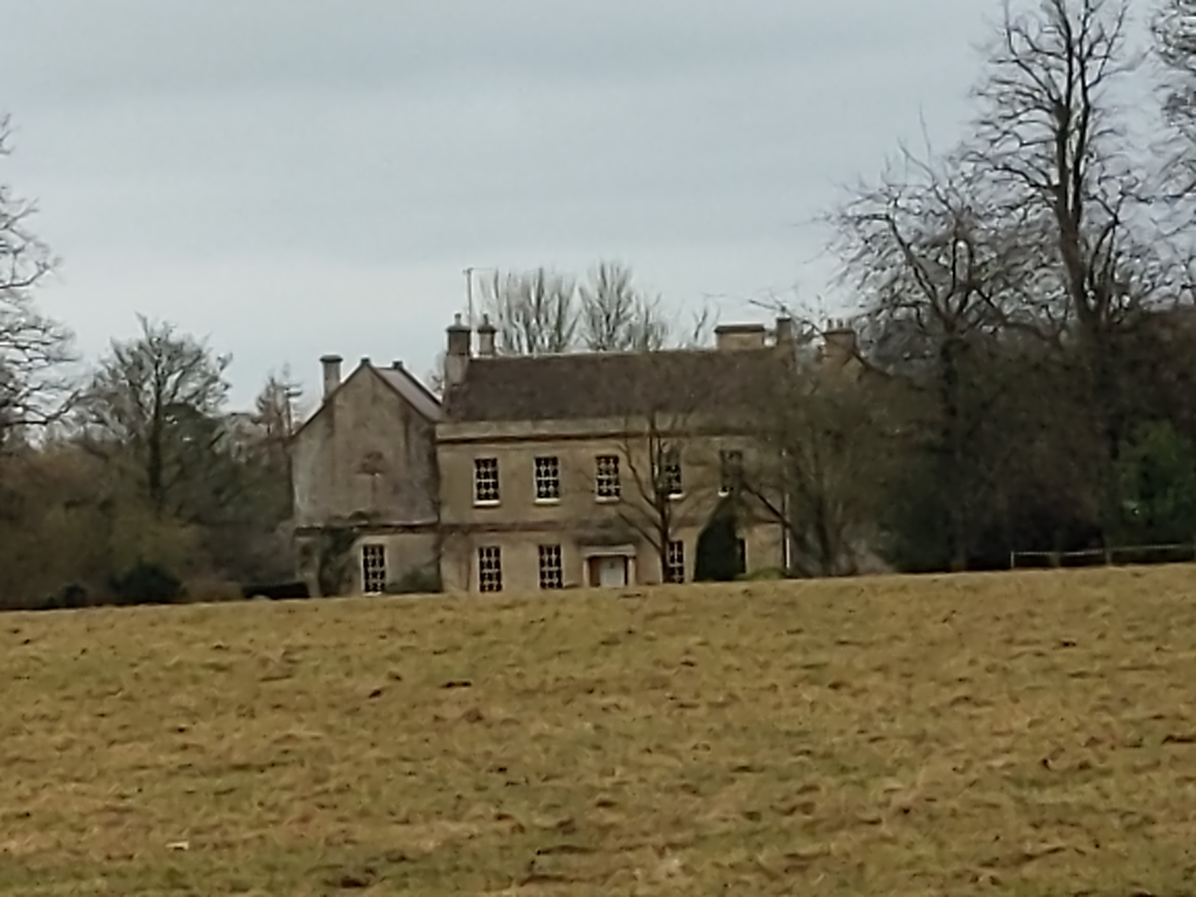
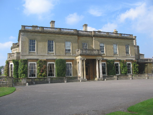
Middlewick House
Middlewick House is a Grade II listed Georgian-style house just outside the town of Corsham, Wiltshire, England. It is the home of the Pink Floyd drummer...

Corsham Computer Centre
The Corsham Computer Centre (CCC) is an underground British Ministry of Defence (MoD) installation in Corsham, Wiltshire, built in the 1980s. According...
Hartham House
Hartham House was a country house at Hartham, Wiltshire, England, standing next to Hartham Park, north-west of the town of Corsham. During the Tudor and...
Hartham Park
Hartham Park is a Georgian manor house in Wiltshire, England, about 1+1⁄4 miles (2.0 km) north of the town of Corsham. Originally designed by James Wyatt...
Corsham Limestone Formation
The Corsham Limestone Formation is a geological formation in England. It is part of the Great Oolite Group and was deposited in the Bathonian stage of...

MOD Corsham
MOD Corsham (formerly Basil Hill Barracks) is a Ministry of Defence establishment located between the towns of Corsham and Box in Wiltshire, England....
Nearby Amenities
Located within 500m of 51.437795,-2.2171886Have you been to Middlewick?
Leave your review of Middlewick below (or comments, questions and feedback).